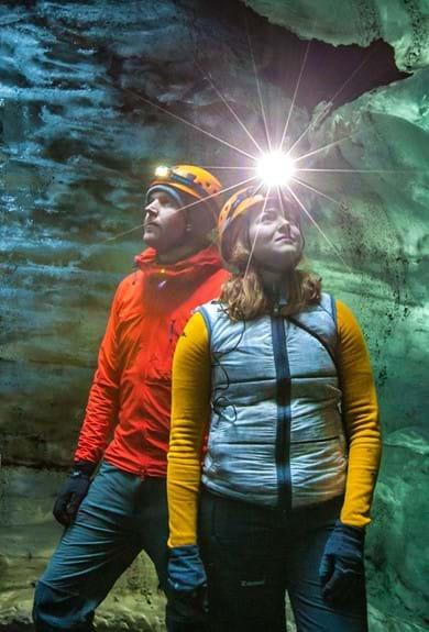

Ice Cave Day Tours
Price from: 14.900 ISK
Meet on location: Mýrdalsjökull
Price from: 14.990 ISK
Meet on location: Sólheimajökull
Price from: 10.500 ISK
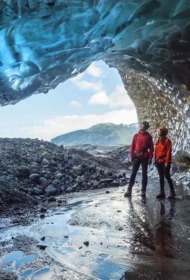
Meet on location: Skaftafell
Price from: 18.990 ISK
Day Tours from Reykjavík
Price from: 8.399 ISK
Glacier Walks
Price from: 15.999 ISK
Partner Tours
Price from: 10.900 ISK
Hiking, Caving & Mountain Climbing
Price from: 17.900 ISK
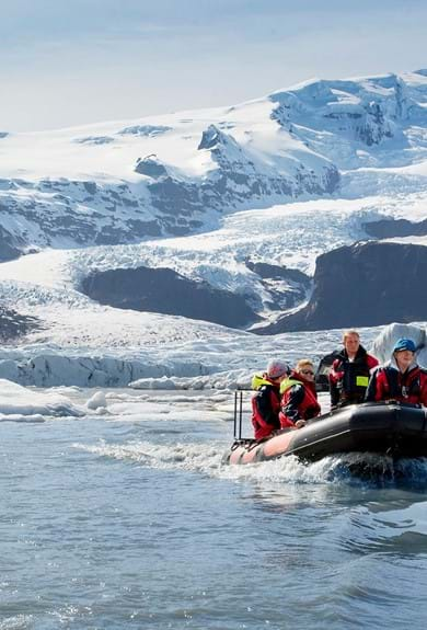
Combo Tours
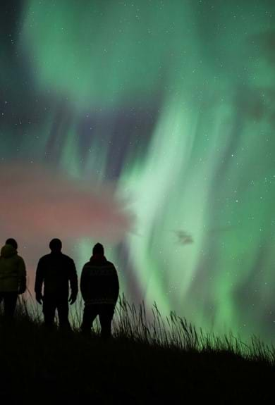
Northern Lights Tours
Price from: 13.900 ISK
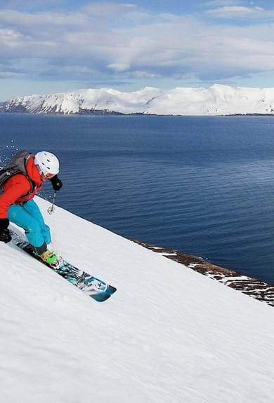
Ski Touring & Cross Country Skiing
Price from: 259.000 ISK
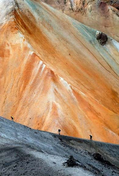
Laugavegur Trail
Price from: 151.664 ISK
Hiking & Trekking
Price from: 28.999 ISK
Expeditions
Price from: 620.000 ISK
Backpacking
Short Breaks & Getaways
Price from: 62.000 ISK
Price from: 79.000 ISK
Glaciers in Iceland
Adventure Ground
Price from: 24.999 ISK
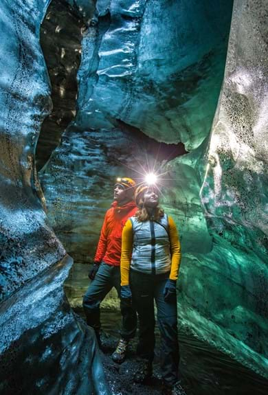
Lava Caves & Ice Caves in Iceland
Price from: 24.990 ISK
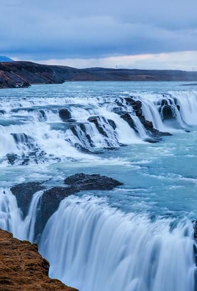
Golden Circle
Price from: 14.999 ISK
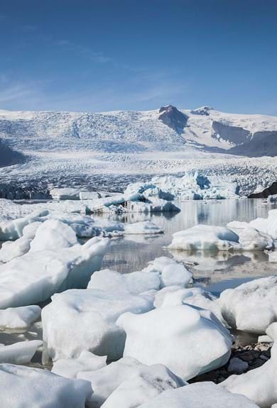
Glacier Lagoons
Price from: 17.999 ISK
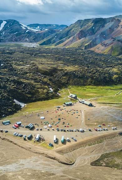
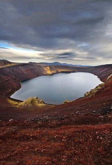
Landmannalaugar
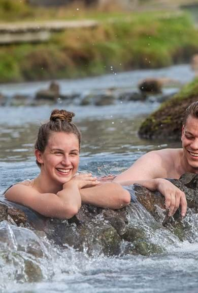
Hot Springs
Price from: 40.999 ISK
Snæfellsnes
Private Groups & Tailor-Made
Last Minute Deals
Manage your booking.
You can manage your bookings via my.mountainguides.is
- Suggestions
- Summer in the Highlands
Multi-Day Tours
Attractions, tailor made, last-minute deals.

National Geographic named this renowned trekking trail one of the 20 best hikes in the world. Starting at the scenic hot springs area of Landmannalaugar, our highly experienced, knowledgeable, and friendly guides will lead you through phenomenal highlands in the southwest of Iceland. We've designed our Laugavegur trekking tours to cater to different activity levels and accommodations. Additionally, when you trek with us on the Laugavegur trail, you will be contributing to preserving its beauty for many generations to come. As part of our Environmental Policy , we make a contribution of the tour price of each booking to our Environmental Fund .
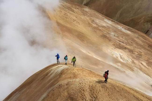
Landmannalaugar - Off the Beaten Path in Fjallabak Nature Reserve
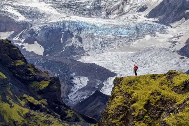
Laugavegur & Fimmvörðuháls Combo Tour
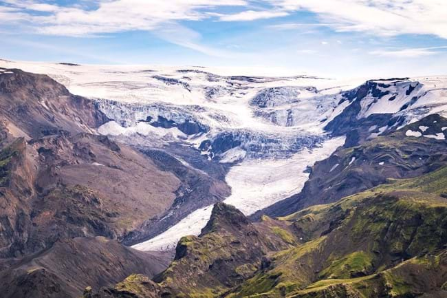
4-Day Thorsmork Glacier Valley Hiking Adventure
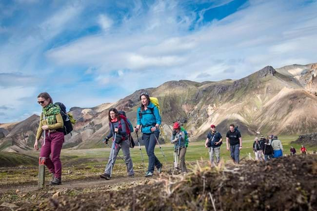
Laugavegur Trek Classic (Huts)
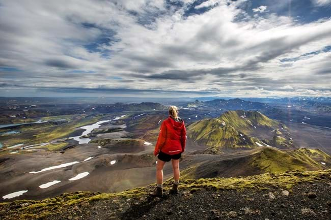
Volcanic Trails
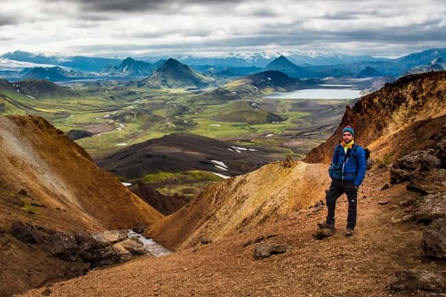
Laugavegur Trail - Self Guided
Want to learn more about hiking the Laugavegur Trail? Check out our Laugavegur Hiking Trail Guide!

Laugavegur Volcano Trail Package
The Laugavegur Hiking Trail is Iceland’s most famous hiking trail and National Geographic has described the trail as one of the world’s most beautiful treks and a must-do for any hiking enthusiasts.

A world beyond imagination
View the colourful highlands of icleand on this 4 - 5 day trek across the laugavegur hiking trail from landmannalaugar to þórsmörk and skógar.
The trail connects the Landmannalaugar and Þórsmörk Nature Reserves and offers a variety of different volcanic landscapes along the way. Every day has different views with beautiful scenery of pristine nature with volcanoes, lava fields, glaciers, natural hot springs, black arctic deserts and lush forested valleys.
For a detailed description please read our free Laugavegur Volcano Trail Online Guide
This self-guided 4-day hiking package includes bus tickets to and from the trail, accommodation in mountain huts in addition to meals on the last day in Þórsmörk. It also gives you an extra day to enjoy trails in Þórsmörk or to head on over the 30-kilometre long Fimmvörðuháls Volcano Trail to Skógar.
Accommodation along the way is provided in mountain huts and on camping grounds. We start the trek in Landmannalaugar and finish at the Volcano Huts in Þórsmörk or you can extend the trek by one or two days all the way to Skógar, south of the Eyjafjallajökull Volcano and Glacier.
If the departure you want is closed you can try to send us an email to [email protected] and we can see if we can fit you in.
Tour Overview
Self-guided.
1-8 participants
Total Distance
56km (35 mi)
Walking per day
600 m (1900 ft)
Accommodation
Mountain hut, upgrade available to private room at the Volcano Huts
Meeting point
BSI bus terminal in Reykjavík
Availability
Minimum age.
6 years old
Challenging: Suits those that are physically active and have some background in basic traveling in mountainous terrain with a backpack. 6-7 hrs walk per day.
Check availability
- Mountain Bus to and from trail: From Reykjavik BSI coach station to Landmannalaugar, and then from Þórsmörk or Skógar back to Reykjavik
- 4 - 5 days hiking the Laugavegur and Þórsmörk trails
- Accommodation 4 nights in mountain huts on the trail (sleeping bag required)
- 1 x dinner and 1 x breakfast per person at the Volcano Huts in Þórsmörk
Not included
- Sleeping bag
- Showers in the huts (payable on site)
Optional extras
Upgrade to private room accommodation at the Volcano Huts
Tour itinerary
Day 1: reykjavík - landmannalaugar - hrafntinnusker.
You start the tour from the BSI coach station in Reykjavik, from whence the mountain bus will take you to Landmannalaugar.
- Distance: 12 km, 4 – 5 hours
- Elevation increase: 470 m
- Starting coordinates GPS: N63°59.600 – W19°03.660
- Finish coordinates GPS: N63°55.840 – W19°09.700
Starting the trek from – Landmannalaugar brings you to an easy hike through the lava field of Laugahraun towards the colourful mountain Brennisteinsalda. There you start a gradual climb through dissected hills with views of an incredible spectrum of colors. After 3 – 4 hours you should arrive at the Stórihver geothermal area and hot springs. About 2/3 of the way is likely to be covered with snow until late summer. At an elevation of around 1000 metres you can expect fog to show up suddenly and without warning. The trail is clearly marked but hikers must be careful not to loose the track in poor visibility. Hrafntinnusker Hut (Höskuldsskáli) will appear suddenly about 2 km past a memorial of a traveler, who sadly died of hypothermia in this area in June 2004. Evening walks from the Hrafntinnusker hut: 20 minute walk to Mt. Söðull (beautiful views) or 40 minute walk to ice caves. Ask warden for more information.
Day 2: Hrafntinnusker - Álftavatn
- Distance: 12 km, 4 – 5 hours.
- Elevation decrease: 490 m
- Starting Coordinates GPS: N63°55.840 – W19°09.700
- Finish coordinates GPS: N63°51.470 – W19°13.640
Heading out from the Hrafntinnusker hut the trail takes you through a valley with small ravines that sometimes may be filled with snow. A short and steep incline leads you to the highpoint of today’s walk. If the visibility is good, a side trip to the summit of mountain Háskerðingur (1.281 m) will reward you with a breathtaking view. This is best done from the western slope of the mountain. But take care as you have to cross a glacier on the way. Ask the hut warden for further information. Soon after you will leave the colorful rhyolite mountains and enter an area with contrast of dark palagonite mountains and white glaciers. You will also notice a considerable increase in vegetation. The trail down the Jökultungur is quite steep and care must be taken during the descent. The last few kilometers to the huts by the lake Álftavatn are on flat land. The two huts at Álftavatn take up to 52 persons. Evening walks: Hike up Mt. Brattháls, which takes 1 – 2 hours return. Wet feet are included as it’s necessary to wade the little stream running from Lake Álftavatn. Another good hike takes you up the Mt. Torfatindur (818m), estimated walking time 1 – 2 hours.
Day 3: Álftavatn - Emstrur (Botnar)
- Distance: 15 km, 6 – 7 hours
- Elevation decrease: 40 m
- Starting Coordinates GPS: N63°51.470 – W19°13.640
- Finish coordinates GPS: N63°45.980 – W19°22.480
The trail leads you over the Brattháls Ridge into Hvanngil Ravine, wading across the small Bratthálskvísl River. In the Hvanngil Ravine you will find two huts, one built for sheepherds in 1963 and one for tourists, built in 1995. As Álftavatn and Hvanngil are only 5 km apart, Hvanngil can be used as an alternate accommodation. The huts have toilet facilities, showers and a small camping site in an old lava field. Leaving Hvanngil you cross a bridge over the Kaldaklofskvísl River. On the eastern bank of Kaldaklofskvísl River the trail splits in two. You should take the path leading south to Emstrur and Þórsmörk. The other branch leads east to Mælifellssandur (Road F 210). Soon after that, another river has to be waded. For a few kilometers, the Laugavegur Trail joins a mountain road. You can stay on the road all the way to the Emstrur hut or take a hiking trail alongside the road. You will have to cross the powerful Nyrðri Emstruá River on a bridge that the road will take you to. After crossing the bridge you will traverse few kilometers on flat land until you suddenly find the Botnar huts in Emstrur. Evening walk: Markarfljótsgljúfur canyon is a 40 to 90 minute hiking tour with beautiful views of the canyons and neighboring mountains.
Day 4: Emstrur (Botnar) - Þórsmörk
- Elevation decrease: 300 m
- Starting Coordinates GPS: N63°45.980 – W19°22.480
- Finish coordinates GPS: N63°41,4 – W19°35,59
In about 45 minutes, after heading out from the Emstrur huts you should be on a steep path leading towards the canyon of Syðri-Emstruá River. The river can be crossed on a hiking bridge in a narrow part of the canyon, with the river raging beneath your feet. From the canyon you will be walking through a hilly area known as Almenningar with the first view of Þórsmörk in sight. At the end of Almenningar you will have to wade the Þröngá River the deepest on the Laugavegur Trail. When wading it is good practice to go hand in hand and head downstream or to use hiking poles to keep your balance. After crossing the Þröngá River you will enter the forested area of Þórsmörk. Follow the path to an intersection with signs that show directions to different huts in Þórsmörk. From there you should reach the Volcano Huts in Húsadalur Þórsmörk or Langidalur hut in 30 minutes. You have dinner included at the Volcano Huts this evening, and we recommend as well that you visit the warm natural pool and sauna, which are right next to the huts.
- Dinner & breakfast included at the Volcano Huts Restaurant in Þórsmörk
Day 5: Return to Reykjavik from Þórsmörk or Skógar
Having successfully finished the Laugavegur trail, you now have the choice of enjoying the day in Þórsmörk and take the coach to Reykjavik direct, or hike over to Skógar via the Fimmvörðuháls trail. The hike over Fimmvörðuháls to Skógar goes in between the glaciers Mýrdalsjökull and Eyjafjallajökull, infamous for the 2010 eruption which affected airline travel all over the world. The hike terminates by the magnificent waterfall of Skógafoss, and you can take the coach back from Skógar.
- Recommended: Spend the day hiking in Þórsmörk and take the afternoon or evening bus out
- Take the first available bus out of Þórsmörk - see the bus schedule here
Hike across the Fimmvörðuháls Trail to Skógar and take the bus from there - see the bus schedule here
Practical information
No meals are included when hiking. Only one dinner in Volcano huts when you finish the trail and breakfast the morning you leave for Reykjavík. You need to carry your meals but you can lighten your carriage with buying meals from our tiny restaurant in Álftavatn.
The Álftavatn Restaurant is open daily from 11:30 - 23:00 and serves breakfast, lunch, dinner, snacks and drinks at the bar.
DAY1 - Need to carry lunch and dinner
DAY2 - Need to carry breakfast and lunch. - Dinner at Álftavatn . Suggested to buy two lunch pack to take away for eating as breakfast in the next morning and for lunch..
DAY3 - Two lunch packs from the day before from Álftavatn - Need to carry dinner
DAY4 - Need to carry breakfast and lunch - Dinner at Volcano huts (included)
DAY5 - Breakfast at Volcano huts. You can buy lunch on spot additionally if you want to spend this day hiking around Þórsmörk.
We recommend for you to pack light for the hike. A luggage transfer service can be booked through one of our partners South Coast Adventure
All huts have bunk-beds, either with single or double mattresses. You can expect to have to share a bunk with another guest. The wardens assign you a place in the huts, please talk to a warden before entering a hut.
It is not possible to connect to WiFi in any of the first three huts, but you might be able to connect to 4G in some of them as well as along the trail.
There is free WiFi at the Volcano Huts in the main building.
Phone connection can be unstable on the trail and you might have go to the nearest hilltop to find a network.
For 500 ISK you can have a shower at all the huts except in Hrafntinnusker. Get a ticket or coins at the warden's huts, where you can pay with cash or card. For obvious reasons, there are no hair dryers available.
The showers are for free at the Volcano Huts.
Electric plugs can be found at the Volcano Huts but here is no electricity in any the first three huts huts along the way and thus no means of charging electronic devices. Make sure to bring enough power with you. Battery-packs are sold at the huts.
Yes, all of the huts are heated. Some with geothermal water, others with gas. For safety reasons, the gas heaters are turned off during the night.
The first three huts have gas stoves, pots, pans and other kitchen appliance you might need to prepare a meal. We also provide liquid and brush for washing up, tablecloths and tea towels.
You have a dinner and breakfast included at the Volcano Huts.
All huts on Laugavegur have some merchandise for sale. The selection of goods depends on the size of the hut but you should at least find some chocolate or snaks at all huts.
Yes, all huts have water closets except for Hrafntinnusker which only has a latrine. We provide toilet paper and soap for washing hands. The toilets are usually in separate buildings.
The huts all have running cold water that is safe for drinking straight from the tab. Many of the huts have a big pot on the stove with hot water. Please make sure that the pot is always full by putting in as much as you take out. You can fill your water bottle before you leave the hut, but you can also drink from streams you come across along the trail.
The wardens usually know the weather forecast for the days ahead and they always try to warn hikers if the outlook is bad. Sometimes they might even forbid you to leave the hut until hiking is safe. Be sure to check the forecast for the area you will be hiking in, on a reliable web page like vedur.is.
Equipment list
- Hiking boots
- Warm hiking socks 2 pairs
- Woolen or thermal underwear 2 pairs
- Warm hat and gloves
- Hiking pants
- Wind and waterproof jacket and trousers
- Waterproof inner layer inside backpack
- Fleece or wool sweater
- Light weight shirt or sweater
- Light shoes or sandals to wade rivers and wear if hiking boots get wet
- Sleeping bag good for – 10°C
- Swimwear and/or shorts
- First aid kit with blister kits, pain relief medicine, bandages
- Survival kit with survival blanket, whistle, knife, matches, shoe laces, tape
- Drinking bottle 1 L
- Drinking cup
- Compass & map, GPS – learn how to use it!
- Food for required number of days
- Campers need to carry tents
- Campers need to carry cooking equipment and fuel
Nice to have:
- Hiking poles
- Mobile phone
- Diary & pen
- Eye shades for sleeping / 24 hours of daylight
- Napkins or toilet paper / toilet paper is provided at huts
- Follow these steps and ensure your safety
- Leave your travel plan online with Safetravel.is
- Stay warm and stay dry
Keep your clothes and equipment dry in your pack
- Cross rivers where they are wide and with great caution
- Do not cross rivers if unsure and alone – wait for others to come by
- Carry a first aid kit and practice first aid procedures
- Carry a map & compass and/or a GPS – know how to use it!

Join us on the Reykjavík Volcano Trails self-drive tour and try driving the iconic Land Rover Defenders yourself on fun and challenging 4x4 trails. Follow the guide, keep your hands on the wheel and hold tight!
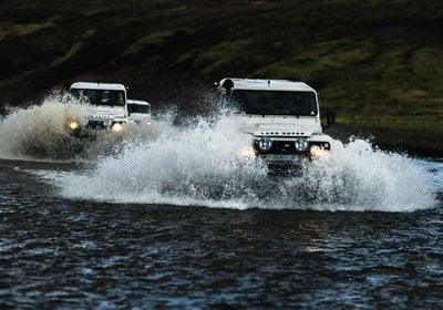
Follow the guide along some of the best 4x4 trails in Iceland. Experience driving the original and iconic Land Rover Defender on this private guided self-drive day tour.
Golden Circle, Blue Lagoon, Reykjanes Peninsula, South Coast, Borgarfjörður and more great trails, all within reach from your hotel in Reykjavik.
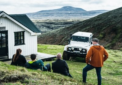
Let our 4x4 guide take you on a scenic tour in one of our iconic Land Rover Defenders and experience all the best 4x4 trails on this private day tour. Simply sit back and enjoy the ride!
Golden Circle, Blue Lagoon, Reykjanes Peninsula, South Coast, Borgarfjörður, and more great trails, all within reach from your hotel in Reykjavik.
Chase the Midnight Sun: Iceland and Canada tours available now!

Hiking & Trekking Tours
4-Day Laugavegur Trek Tour
Explore mesmerizing icelandic highlands.
Trek the famous Laugavegur Trail on an overnight adventure. Chosen as one of the “20 Best Hikes in the World” by National Geographic, this trail lets you experience the best of Icelandic nature.
- Trek Landmannalaugar trail
- Visit Thorsmork Valley
- Enjoy Hot Springs
- Discover obsidian rock fields
- Learn about glaciers and active volcanoes
- Appreciate Markarfljótsgljúfur Canyon
- Witness multicolored rhyolite mountains
- See Laugahraun lava field
- See Mt. Brennisteinsalda
- Transportation
- Accommodation in either huts or tents (choose upon booking)
- All meals (3 times a day)
- Luggage transportation between stops
What to bring
- Warm clothes
- Waterproof, breathable jacket and pants for hiking
- Waterproof hiking boots with sufficient ankle support and robust sole
- Hiking socks made of wool or synthetic (at least 2-3 pairs)
- Thermal underwear (long sleeve top and bottom) made of wool or synthetics (not cotton)
- Sleeping bag and travel pillow
- River crossing shoes -for example quick drying trail runners, sandals (with straps) or neoprene shoes
- Personal hygiene items
- Money for the showers (500 kr in coins)
- Power bank / portable charging device
Tour Snapshot
Use Promo Code: TREK15 Expires: May 15, 2024
Discount valid for option with accommodation in tents only . Apply the promo code in step 2 of the booking process.
- Expert Guides
- Small Group Experience
- Best Price Guarantee
- No Booking Fees
- Fast & secure payment
Please Select When Booking:
- Get ready for Laugavegur Trek
Discover the legendary Laugavegur trail on the ultimate Iceland 4-day hike. From the geothermal paradise of Landmannalaugar to the wild birch forests of Þórsmörk , join our expert guides on an exciting adventure through the rugged Icelandic highlands.
Along the way, you'll witness the wonderfully diverse landscapes featuring colorful rhyolite mountains, volcanic rock formations, and natural hot springs. Spend the night in either a rustic mountain hut or a comfortable camping tent.*
Not sure which option to choose? Or perhaps you don’t know much about the experience of living in a tent or a hut? Here are some benefits that a trekking tour with a stay in a tent provides:
- The tour sets off with a smaller number of travelers;
- Living in a tent ensures more privacy than living in a hut where you have to sleep in a shared space;
- There are large assembly tents for dinner and other gatherings for the overnight stops.
What about staying in a hut?
- You’ll live in a charming dormitory-style house;
- Sleep in bunk beds, on a mattress;
- Enjoy heated housing;
- Huts also include a kitchen with a gas stove and a sink with running water.
*Please specify your chosen accommodation of either a hut or tent at checkout.
Laugavegur trail altitude profile:
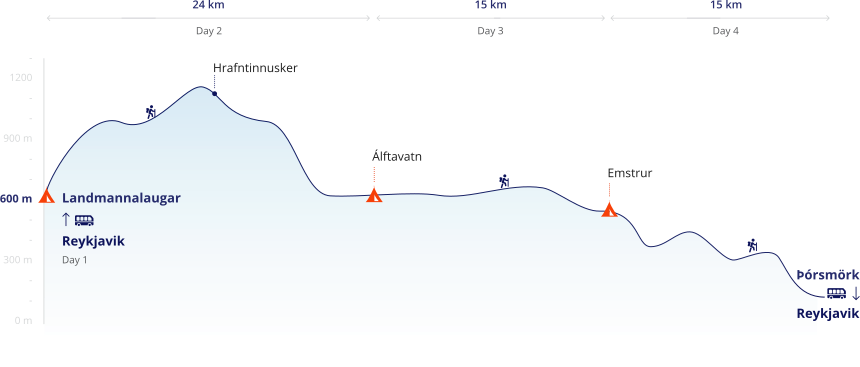
Day 1: REYKJAVIK - LANDMANNALAUGAR
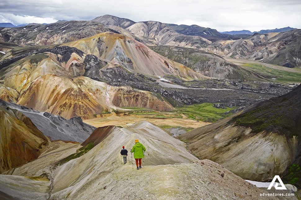
Pick-up for a tour starts at 7:00 am at the Tourist Information Center at Reykjavík's City Hall in Vonarstræti. You also have an option of meeting us at one of our other meeting points (see tour description).
We begin our Laugavegur adventure with a scenic drive to Landmannalaugar! The total trip takes about 3-4 hours and follows the famous South Coast route , renowned for its beautiful natural attractions. Further inland, we pass the infamous Hekla Volcano , which was known to people in the Middle Ages as "The Gateway to Hell." Hekla is the most active volcano in Iceland and has erupted every 10 – 15 years throughout the last century.
The Laugavegur trail begins at the geothermal oasis of Landmannalaugar or the "People's Pools." The area contains a wealth of hot springs and is surrounded by dramatic rhyolite mountains. Right at the edge of Landmannalaugar sits the coal-black Laugahraun lava fields, an immense field of dried magma formed in 1477 during an eruption.
The highlight of today's trek is Mt. Brennisteinsalda (the Sulphur Wave), Iceland's most colorful mountain. The volcanic mountain is colored with black and blue lava and ash, green mosses, and red iron.
We will spend the night in the mountains, where you will be served a tasty dinner surrounded by nature.
Distance : 12 km (7.5 mi), Walking Time : 4-5 hrs, Elevation Gain : 470 m (1540 ft).
Day Highlights
- Landmannalaugar
- Mount Brennisteinsalda
- Scenic drive from Reykjavík
- Refreshments
- Accommodation in huts or tents
Day 2: Landmannalaugar - HRAFNTINNUSKER - LAKE ALFTAVATN
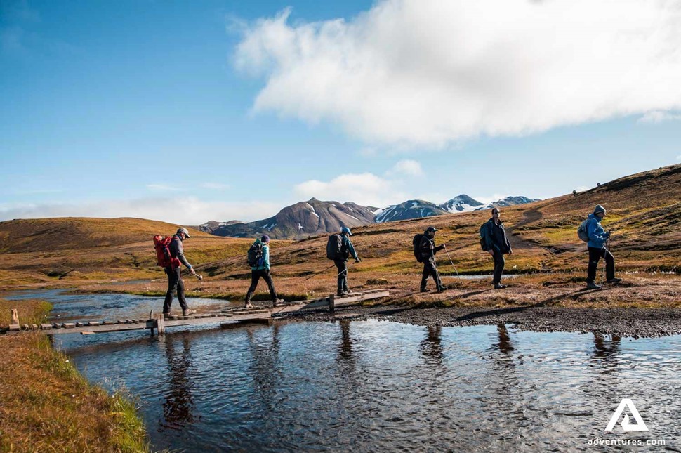
The second day of your trek begins with a delicious breakfast.
Today we will pass the steaming vents of Stórihver ("large spring") hot spring and will enjoy the beauty of the black obsidian desert Hrafntinnusker .
The highlights of today’s agenda are the vibrant Reykjafjöll rhyolite mountains and the stunning Jökultungur pass . Geothermal activity has painted these craggy gullies in vivid shades of yellow and red, contrasting dramatically with the sand-toned mountains surrounding them. The peak of Jökultungur offers spectacular views over the whole Fjallabak (“behind the mountain”) area and Álftavatn lake , a remote oasis only accessible by this trail. The descent down Jokultungur ends in an oasis of flora and fauna beside the Grashagakvisl river . To reach our Álftavatn campsite, we have to cross the river on foot, a refreshing experience after a day of hiking!
In the evening, enjoy dinner next to beautiful lake vistas.
Distance : 24 km (14.9 mi), Walking Time : 4-5 hrs, Elevation Gain : 490 m (1610 ft).
- Hrafntinnusker
- Stórihver hot spring
- Mount Reykjafjöll
- Jökultungur area
- Fjallabak area
- Álftavatn Lake
Day 3: LAKE ALFTAVATN - EMSTRUR
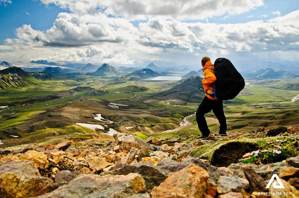
We begin our day by wading through another stream as we head into the volcanic deserts of Maelifellssandur . Along the way, we will pass two breathtaking volcanoes, Stórasúla and Hattafell . The first volcano is a verdant cone-shaped mountain, while the second boasts a distinct flat top. The trail leads to Emstrur , a grassy area where farmers used to graze their sheep.
If we are lucky enough to get good visibility, there are outstanding panoramic views of the famous Mýrdalsjökull and Eyjafjallajökull mountain glaciers. These twin mountains both keep mighty volcanoes beneath, including the capricious Katla. On the way to our campground will diverge from our path to gaze at the wondrous Markarfljótsgljúfur canyon, a 656 ft (200 m) deep valley hallowed out by the powerful Markarfljót river. Our campground for the night is in Botnar, a peaceful nature oasis surrounded by a black sand desert.
Distance : 15 km (9.5 mi), Walking Time : 6-7 hrs, Descent : 40 m (130 ft).
- Black sand deserts
- Volcano views
- Eyjafjallajökull and Mýrdalsjökull glacier views
- Markarfljótsgljúfur Canyon
Day 4: EMSTRUR - THORSMORK
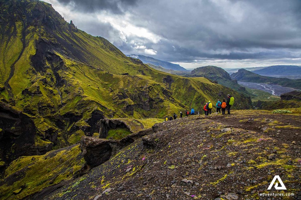
After our final breakfast together, we leave the Emstrur area and head to Thórsmörk, the last section of the trail!
Thorsmork translates to "Valley of Thor "because legend has it the valley was created by Thor's mighty hammer Mjölnir, which split open the mountain range and formed a deep gorge. Thorsmork is an Mt. Einhyrningur lush area with dense birch forests and various wildlife. On our way to the valley, we will trek past (Unicorn Mountain), a peak shaped like its mythical namesake. The summit offers beautiful views of Iceland's fourth-biggest glacier, Mýrdalsjökull . As we get closer to our final destination, the landscape will begin to change with more trees popping up. Our trek ends in the stunning Thorsmork valley. Snap celebratory photos and enjoy the scenery before getting ready for our ride back to Reykjavík!
During our ride back, we will stop at the photogenic Seljalandsfoss Waterfall . These falls are famous for the unique footpath that stretches all the way around so tourists can stand behind the cascade.
We will arrive back in Reykjavik at around 8:30 pm. Drop off is available at Miklabraut 101 Orkan gas station (by Kringlan shopping mall), Reykjavik Campsite, and the City Hall on Vonarstræti.
Distance : 15 km (9.5 mi), Walking Time : 6-7 hrs, Descent : 300 m (985 ft).
- Þórsmörk Valley
- Seljalandsfoss Waterfall
- Glacier views
Please note
Accommodation in rustic mountain huts or comfortable tents (please choose your accommodation during the booking process) and all meals are included, you can rest assured our knowledgeable guide will show you the very best spots and lead you safely and sound all the way. Your guide organizes the meals, although assistance from participants is appreciated. You will meet people from all over the world – enjoy being part of a friendly team!
Information Package & Equipment List
Meeting points and times in reykjavik: between 7:00 - 7:30 a.m.: - reykjavik's city hall (ráðhúsið) on vonarstræti - hallgrímskirkja church - reykjavik campsite.
Meeting points outside of Reykjavik:
8:15 a.m. – Selfoss N1 gas station
9:00 a.m. – Hella- Bus Terminal
*Note that it can take up to 30 minutes before the bus departs the given locations.
Drop off : Please check the tour itinerary for drop-off points and times.
Similar tours that people also viewed

Laugavegur Trail - 6 Days Hiking Tour in Iceland
Landmannalaugar hiking tour from Reykjavik
Contact us for more information about this tour.
Adventures.com offers pick up service from selected Reykjavík pick up points. Note that you can always update your pick-up / drop-off location through our customer portal: https://my.adventures.com You can press the login button in your confirmation email for an easy login to the customer portal. If you experience an error with logging into the customer portal or can't find your booking, please contact us on Facebook Messenger, or send us a message here below. Chat with us on Facebook Messenger
Laugavegur Hiking Trail Travel Guide
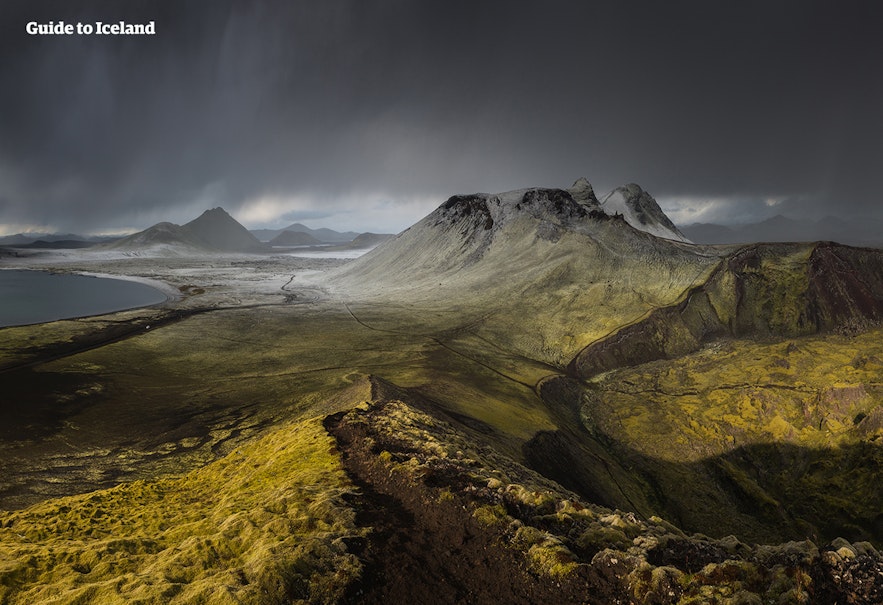
Laugavegur is one of the most popular highland trails in Iceland. The scenery is breathtaking in its beauty and diversity, perfectly representing the country’s raw natural wonder.
The area is a favourite for those who want to take multi-day hikes through the Icelandic Highlands .
The Laugavegur Highland Trail should not be confused with the Laugavegur shopping street in Reykjavík . The name Laugavegur means ‘the way of the water’.
Location of the Laugavegur Hiking Trail
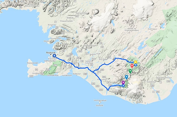
The Laugavegur Trail is located in the southern Icelandic Highlands and connects the geothermal area of Landmannalaugar to the forested valley of Þórmörk .
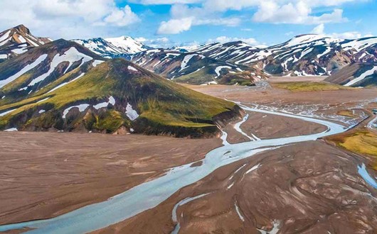
Landmannalaugar is a spectacular location, only accessible in summer, renowned for its colourful rhyolite mountains and bubbling hot springs, which guests are welcome to bathe in.
Þósmörk, meanwhile, is sheltered by mountains and glaciers, and famous for its greenery. It is so beautiful that it was named after the most acclaimed of the Old Norse Gods, Þór (often anglicized to Thor).
The Laugavegur Trail, from Landmannalaugar, passes the ‘Swan Lake’, Álftavatn; the black sand desert of Mælifellssandur, renowned for its vibrant green mountain Stórasúla; and through the plains of Emstrur. There are countless peaks, crater lakes and volcanoes en route, and the trail sits in the shadow of the glaciers Mýrdalsjökull and Eyjafjallajökull .
It is 55 kilometres (34 miles) long.
Hiking the Laugavegur Hiking Trail
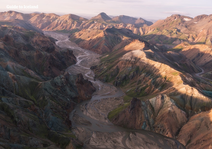
The Laugavegur Hiking Trail is one of the most popular hiking routes in the country. It is usually taken over five- to six- days, although some tours have an additional day hiking the Fimmvörðuháls Pass from Þórsmörk to Skógafoss waterfall . The route can usually be accessed from June to September, though this is weather dependent.
It is possible to camp as you cross the Highlands via the Laugavegur Trail, but most tours stop off at the mountain huts of Hrafntinnusker, Alftavatn, Hvanngil, Laugahraun and Emstrur (Botnar).
Hiking the Laugavegur Trail should only be done by those with good endurance, as many of the paths are uphill, and the days can be quite long. If you wish to hike it without a guide, you must be an expert, well-researched hiker, with all necessary equipment and stocks, and way to contact emergency services as a precaution.
It is also highly recommended that you register your journey at safetravel.is , so that the rescue teams will be alerted if you do not get to your destination at your expected time.
Though some may wish to take the tour independently, there are many advantages to joining a group. It is safer; you will also have the company of an experienced, knowledgeable guide who can tell you about the locations you pass through; your heavy bags will be taken ahead of you; and you don’t need to worry about bringing or cooking food.
Regardless of if you are hiking yourself or on an organised tour, you will need many layers of warm, waterproof clothing; shoes for crossing rivers; sturdy hiking boots with ankle support; a first-aid kit; and a large water bottle.
It is also highly recommended that you take a camera, as well as a swimsuit and towel to enjoy the hot springs at Landmannalaugar.
Popular Tours to Laugavegur Hiking Trail
Super jeep tour to askja caldera & holuhraun lava field with transfer from myvatn, amazing 1-hour airplane tour over landmannalaugar and highlands from skaftafell, ultimate 10-day northern lights winter trip to iceland's highlands with ice caving, attractions nearby.
Markarfljótsgljúfur Canyon
Faxafoss Waterfall (Faxi)
Unicorn Mountain
Popular categories
Hiking & Trekking Tours
Helicopter Tours
Highland Tours
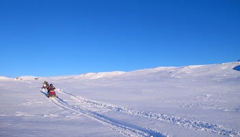
Snowmobile Tours
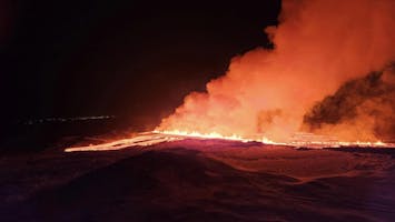
Volcano Tours in Iceland
Download Iceland’s biggest travel marketplace to your phone to manage your entire trip in one place
Scan this QR code with your phone camera and press the link that appears to add Iceland’s biggest travel marketplace into your pocket. Enter your phone number or email address to receive an SMS or email with the download link.
Top things to do in Iceland
Book your complete trip with the best companies only

Explore an Ice Cave
Visit a Live Volcano
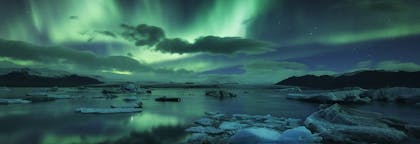
Find the Northern Lights
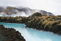
Visit the Blue Lagoon
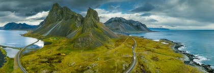
Go on a Road Trip

Do the Golden Circle
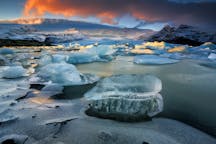
See the Glacier Lagoon

South Coast Tours

- Best Hikes In The World
- Appalachian Trail
- European Hikes
- Nepal Hikes
- Patagonia Hikes
- See All Hikes
- Mount Kenya
- Mount Kilimanjaro
- Mount Toubkal
- See All Mountains
- South Africa
- New Zealand
- Switzerland
- United Kingdom
- Packing Lists
Laugavegur Trail – Iceland’s Best Hiking Trail
Europe , Hikes , Iceland
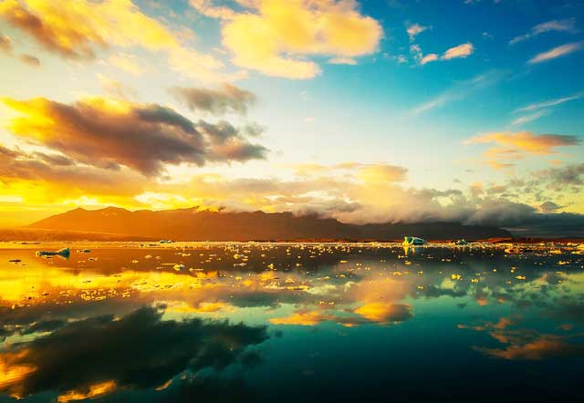
Iceland's Laugavegur trail is a renowned and popular trek that people come from near and far to experience.
The landscape along the trail is diverse and takes you on a surreal journey through the beautiful Icelandic wilderness. With multicolored rhyolite mountains, pristine glaciers, natural hot springs, black deserts and lush forest to see, the Laugavegur trail is a hiker's paradise.
If you're interested in taking on this incredible adventure, then have a look through this guide of everything you need to know about the Laugavegur trail before you plan your trip!
Quick Facts
- Elevation: 1,768 feet(539 meters)
- Highest point: 3,474 feet (1,059 meters)
- Difficulty: moderate - difficult
- Length: 34 miles (55 kilometers)
- Duration: 3 - 5 days
- No permit required
- High season is in July and August
Laugavegur Trail Overview
The Laugavegur Trail is located in Iceland's southern highlands and is a straight route from Landmannalauger to Þórsmörk, also known as Thórsmörk (Thor's wood) .
It is typically done from north to south by starting at Landmannalauger, with its multicolored mountains, and ending in Þórsmörk, where the famous Eyjafjallajökull volcano is.
The route is 34 miles (55km) long and is generally completed in 4 days. There are also several quick walks you can do in the evenings from most accommodation points, which help to showcase more of Iceland's stark beauty and make your trip more worthwhile.
The huts and camps are open from late June until the end of August as these are the best months to take on the trek.
This is a moderate-to-difficult trek. As there are some steep areas and rivers that need to be waded through.
You can complete the trail with an average level of fitness but you should prepare yourself for some challenging sections and train your body for walking long distances in the time leading up to your trek.
Each day will require you to walk between 7.5 to 9 miles (12 - 15 km). The elevation varies from 130 - 1,608 feet (40 - 490 meters) each day with the highest point reaching 3,474 feet (1,059 meters) at Hrafntinnusker.
You'll begin the trek by travelling to Landmannalauger, which is located in Iceland's highlands and surrounded by striking, multi-colored rhyolite mountains.
From here you'll begin the long walk, passing through the Laugabraun lava field and ascending onto the Brennisteinsalda plateau, which offers breathtaking views of the colorful landscape.
You'll also pass the Stórihver hot spring, which will probably be the only patch of green you see on your first day. On the walk from Hrafntinnusker to Alftavan you will see numerous hot springs and ravines as you make your way up the Háskerðingur mountain for a view that shouldn't be missed!
As you descend the mountain, you'll enter into different terrain of dark palagonite and glistening glaciers until you reach Alftavan. You'll then travel past ancient volcanoes, through black desert land and flowing rivers into the lush farmland of Emstrur.
The last leg of the journey involves more river crossings and a descent into beautiful green land, which is a dramatic contrast to the dark deserts you pass through on the way.
Þórsmörk is a lush valley, filled with flourishing vegetation and flowers. Once you arrive here you should consider spending some more time exploring the scenic protected area.
Please Note: There are many spots along the Laugavegur trail that require great caution as they are either very steep or require you to wade through water which can be very slippery. Be very careful as you step to avoid injuring yourself or spraining your ankles. It's recommended that you wade across the river hand-in-hand.
The weather along the trail can be very unpredictable so make sure to check the weather before you start walking each day. Also check whether it's safe with your guide or the hut warden.
Do not attempt to continue your walk if there have been warnings of bad weather, wait at the huts until it has cleared. Getting caught in a bad storm is very dangerous as the visibility will be poor and you can easily get lost.
Also be aware that you'll be sharing rooms with other travellers in the huts as they are built like dormitories with bunk beds and are unisex. So remember to pack earplugs if you struggle to sleep in a room with other people.
Laugavegur Trail Map & Guidebook

The Laugavegur Trail: A Hiking Companion to Iceland's Famous Trek is a detailed and easy-to-follow guide to Iceland's most famous and popular trail.
In this guide you will find all the logistical information you need, simple maps, and writer's stories, adding colour to your journey with some useful regional context.
Laugavegur Trail Itinerary
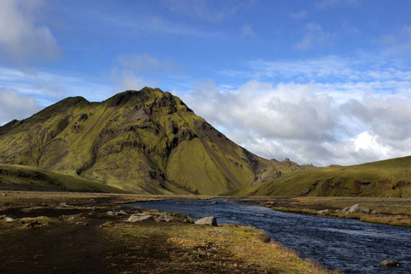
Photo by Neil
This itinerary follows the direction and route of the Laugavegur that is usually taken, however you can choose to start in Þórsmörk and end in Landmannalauger if that's what you prefer.
There are only a few huts to overnight in along the trail so no matter which direction you choose, you'll most likely still stay at the same places.
Landmannalauger to Hrafntinnusker (7.5miles/12km)
The trail begins at Landmannalauger and you will start your journey with a simple hike through the Laugahraun lava field (the remnants of a volcanic eruption that happened in the 1400s) and gradually climb up the Brennisteinsalda volcanic mountain, which offers spectacular views of the surrounding mountains with their multi-colored slopes.
After walking for about 3 to 4 hours you'll find the hot spring at Stórihver and continue on your way until you reach the Hrafntinnusker Hut where you will stay for the night.
There are also some fascinating ice caves a short distance from the hut which you should definitely consider seeing.
Ask the warden or your guide about the caves before you go as they can be unstable due to the geothermal activity of the area.
Hrafntinnusker to Alftavatn (7.5miles/12km)
The trail leads through a valley with several ravines and, if the weather is good, you'll hike up the Háskerðingur mountain and enjoy the magnificent view.
You'll then leave behind the beautiful mountains and travel into the darker terrain of the palagonite mountains sitting in stark contrast with pristine white glaciers.
The trail descends quite steeply on the Jökultungur and leads onto the lush river banks of the Grashagakvísl. You'll then walk the last mile or two on flat land and wade through a stream before reaching the huts at the serene Alftavatn lake .
Alftavatn to Emstrur (9.5miles/15km)
The third leg of the trail is more difficult as there are some steep sections that you will need to be careful of as well as multiple river crossings.
The Laugavegur trail leads over the Brattháls Ridge, into the Hvanngil ravine, and across the Bratthálskvísl river. After wading across the river you'll pass two huts, which could be chosen as accommodation instead of Alftavatn because of their close proximity.
You then walk over the Kaldaklofskvíslon river on a bridge and take a path leading south to Emstrur.
You'll have to wade through another river before reaching a bridge over the Nyrðri Emstrur River that will lead onto the trail to the huts.
From Emstrur you can walk to the spectacular Markarfljótsgljúfur canyon , which is 200 m deep and showcases some of the most incredible views of the Laugavegur trail.
Emstrur to Þórsmörk (9.5miles/15km)
The final stretch of the Laugavegur trail takes you on a very steep path down the Syðri-Emstruá River canyon and across a bridge over the rushing river.
You'll then trek through Almenningar, a hilly terrain where there are several more rivers to cross including the Þröngá River, which is the deepest river you need to wade through on the Laugavegur trail.
Once you make it to the other side of the river you will find yourself in the forested valley of Þórsmörk, which lies close to the famous Eyjafjallajokull and Mýrdalsjökull glaciers.
This concludes the Laugavegur trail, however some people choose to continue another 12 miles to Skogar, which is a beautiful little village known for its glorious Skogafoss Waterfall - a sight definitely worth seeing while you're in the area.
Video Overview
A beautiful video overview of Laugavegur trail in Iceland from Sawyer` Burnett . The clip (3:35 min long) was filmed in early September of 2017.
Laugavegur Trail Important Details
Best time to go.
The Laugervegur Trail is only open from about mid-June to the end of August as that is when the weather is the best and the trail is safe to attempt.
This is the summer time in Iceland when weather conditions are most favorable.
The weather can be very unpredictable so the huts close down for the rest of the year and hiking the trail is not recommended. Most tour operators will only run their tours from July through to August.
The Laugavegur Trail is a moderate to difficult trek and can be done with an average level of fitness. It's recommended to train before your trip by going on more long-distance hikes or walks to help improve your endurance.
There are some steep parts of the trail which are more difficult so trek slowly and be careful. Keep in mind that there are also some rivers that you will need to wade through so prepare to get your feet wet !
You should not cross any rivers by yourself so if you're alone, it's advised that you wait for other hikers so you can go hand-in-hand through the water.
Extra tips for staying safe:
- Keep dry and warm to avoid hypothermia
- Leave your travel details online at Safetravel.is
- You should download the Icelandic Emergency App onto your phone
- List your name on the safety lists at the huts
- Do not cross rivers by yourself and walk across them hand-in-hand
- Pack a First Aid Kit
- Pack a compass, map or GPS in case you lose your way
- Stay hydrated!
- Check the weather before you set off for the day and listen to the wardens if they tell you it's not safe to continue
Laugavegur Trail FAQ
What gear/equipment do i need to bring.
You will need to take a sleeping bag , First Aid Kit, sun cream, water bottle, map/ GPS , compass, camera , sunglasses and food. You also need to pack your own toiletries.
There is only toilet paper and soap at the huts. Hiking poles are optional but can be useful on the steep sections of the trail to help keep your balance. Gaiters are also recommended but are not essential.
There is limited electricity at the huts so if you wish to charge your cell-phone or camera, it is recommended that you bring a power bank/battery pack with you. If you are camping, you will need a tent and cooking equipment .
What clothes should I pack?
You should pack multiple layers that you can take on or put off as you get hot or cold. Good quality, thermal clothing is best.
You will need to pack hiking socks, thermal underwear, water and windproof trousers and jacket, fleece or down jacket , light long-sleeved layers, swimwear, a warm hat, gloves and a pair of good quality, worn in hiking boots .
Your hiking boots are the most important item so make sure they provide ankle support and are well worn-in before your trip. You will also need a light pair of shoes that are suitable for wading through rivers in. Avoid cotton clothing as it absorbs moisture and will become very uncomfortable.
Is drinking water available at the huts?
Clean, drinking water is available at the huts so you can fill up your water bottles after each day. You can also fill up your bottle with water from the rivers and streams that you pass along the way.
While it may contain a tiny bit of soil, it is perfectly safe to drink.
Will I be sharing a room with other travelers at the huts?
Yes, the huts have dormitory style rooms with multiple bunk beds in them so you will be sharing with fellow travelers.
Be sure to pack earplugs and a sleeping mask if you're a light sleeper or aren't used to sharing a room.
Is there Wi-Fi/ cellphone reception at the huts?
Reception is very limited along the Laugavegur trail and there is no Wi-Fi at the huts. There are certain spots along the trail where you may find reception but it's not very reliable.
Browse more hikes in Europe
See our top European hikes picks, or check out these popular hikes.
- Tour du Mont Blanc
- Tour de Monte Rosa
- Walkers Haute Route
- Camino de Santiago Routes
- West Highland Way Hike
- El Caminito del Rey
- Kungsleden Trail
- Rota Vicentina
- Slovenian Mountain Trail
- Cinque Terre Hiking
About the author
Mila Whitman
Mila has been to 5 continents, visited over 40 countries and hiked across some of the most famous mountain ranges including the Andes and the Atlas Mountains. As an AMS sufferer she learned a few techniques to reduce the symptoms and the effects on her hiking adventures.
Leave a Reply
Your email address will not be published. Required fields are marked
We work with local guides to offer great value adventures at unbeatable prices
How to Hike the Laugavegur Trail in Iceland Independently
08/20/2019 by Kristin Addis 14 Comments
The Laugavegur Trail in Iceland is one of the most unique and visually stimulating trails in the world. Not only do you have constantly shifting landscapes, from the rainbow-striped mounds of the highlands in Landmannalaugar to the psychedelic greens of Þórsmörk, but ever-changing conditions as well. No wonder National Geographic ranked this trail in their top 20 in the world. There’s nothing out there that can equal it.
With the uniqueness of the trail comes a unique set of requirements for enjoying and thriving on this journey. Before I set out on it myself, most of what I could find were posts advertising guided hikes without any real information on what to expect each day and how to prepare. That changes now.
After guiding a hike on the trail myself, I found out everything you need to know about hiking the Laugavegur Trail in Iceland independently:
Table of Contents
How Hard is it, Really?
Based on the other multi-day hikes I’ve done around the world, I’d rank this as a solid moderate. The gains and losses aren’t too bad nor dramatic, though there are some steep parts. The biggest issue is weather, which can change at a moment’s notice. You just need to be prepared for that, which I’ll get into, and you’ll be just fine.
Where Should You Start?
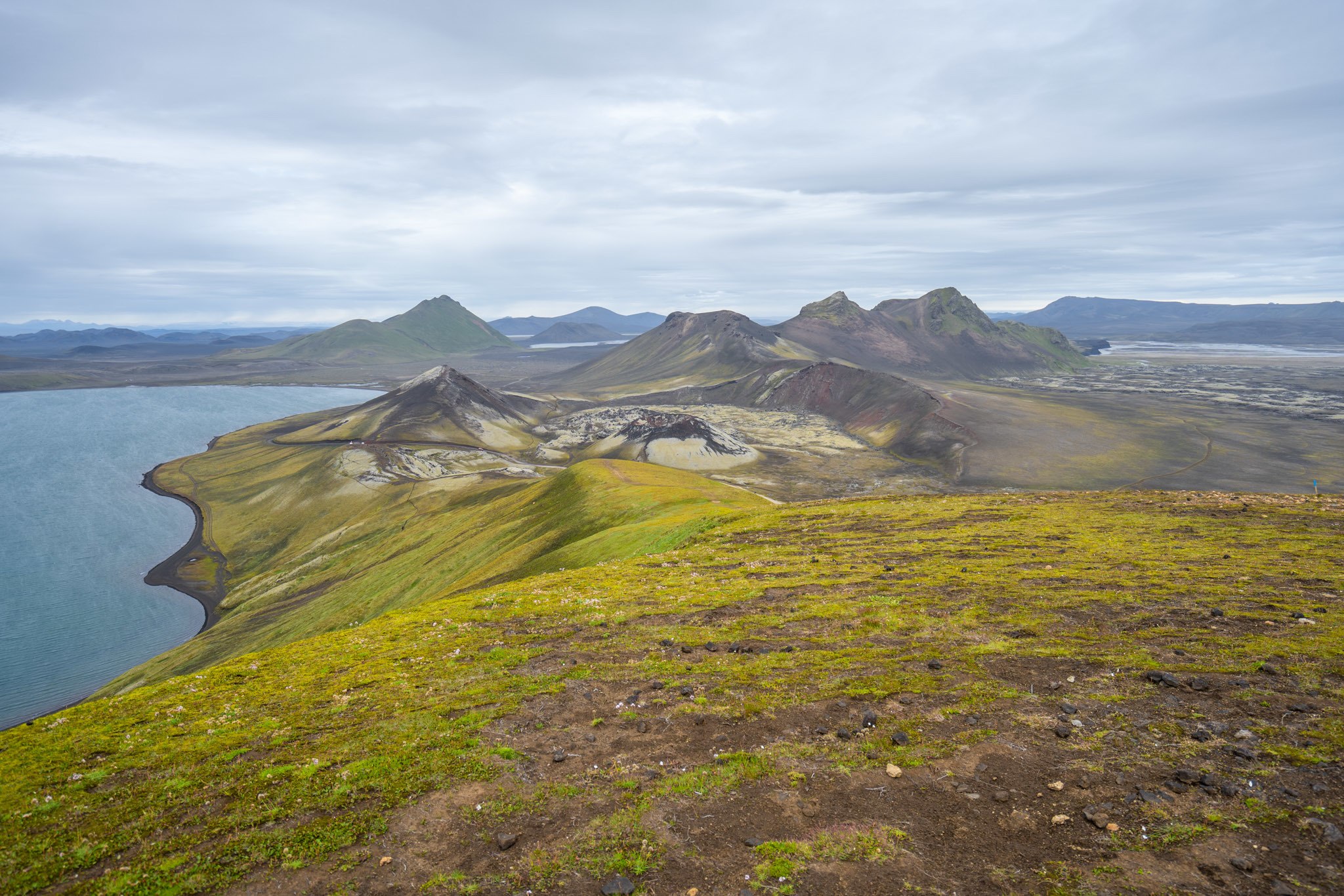
That is the question. Should you begin in Landmannalaugar (say that 10 times fast) or Þórsmörk (pronounced “Thorsmork”)? And perhaps more importantly, should you add on two more days at the end, or beginning, to Skógar?
If you can be swayed, I advocate making this a six day rather than a four day trek and going all the way to Skógar on the Fimmvorduhals trail (more on that later), beginning in Landmannalaugar. This makes the first few days, when you have the most weight, a bit easier because instead of having a big uphill on days one and two in the reverse, you have a more gradual uphill on day one. That said, there’s no wrong way.
Where Should You Stay?
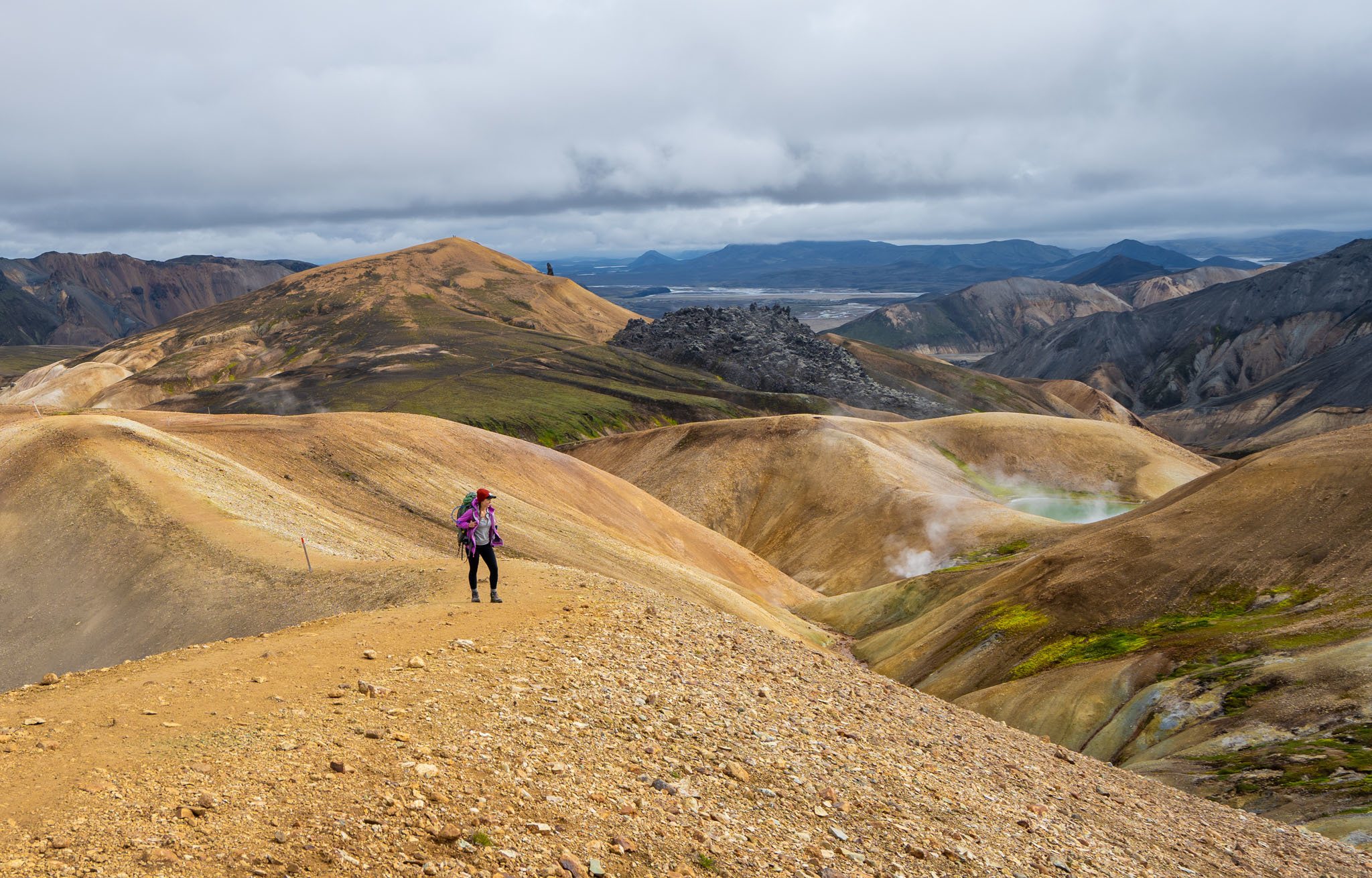
The next big question is, will you backpack or will you stay in the huts? Given the huts cost about US$90 per night, it’s quite expensive for what you get, which is just a shared bunk, and sometimes even a shared mattress, in a room with lots of other people.
That said, if I had it to do over again I would still stay in the huts because there’s a very good chance that your tent will never be dry on this trail. The winds can get crazy strong and it’s highly likely that at some point in the day, you will encounter rain. Most of the time, by leaving early in the morning, we were able to avoid the bad weather. But if you’re in a tent there is no escape. You also lighten your load by not having to carry cooking equipment, a tent, and a sleeping mat. The choice is yours!
If you do decide to stay in a hut, book them as far ahead of time as possible. There are only two months out of each year that are reasonable to hike the trail, in July and August, so they book up quite far in advance. Sometimes you can get lucky and get a last-minute booking, but that might mean you’d have to carry your tent around just in case, which nullifies the point for me.
What Should You Pack?
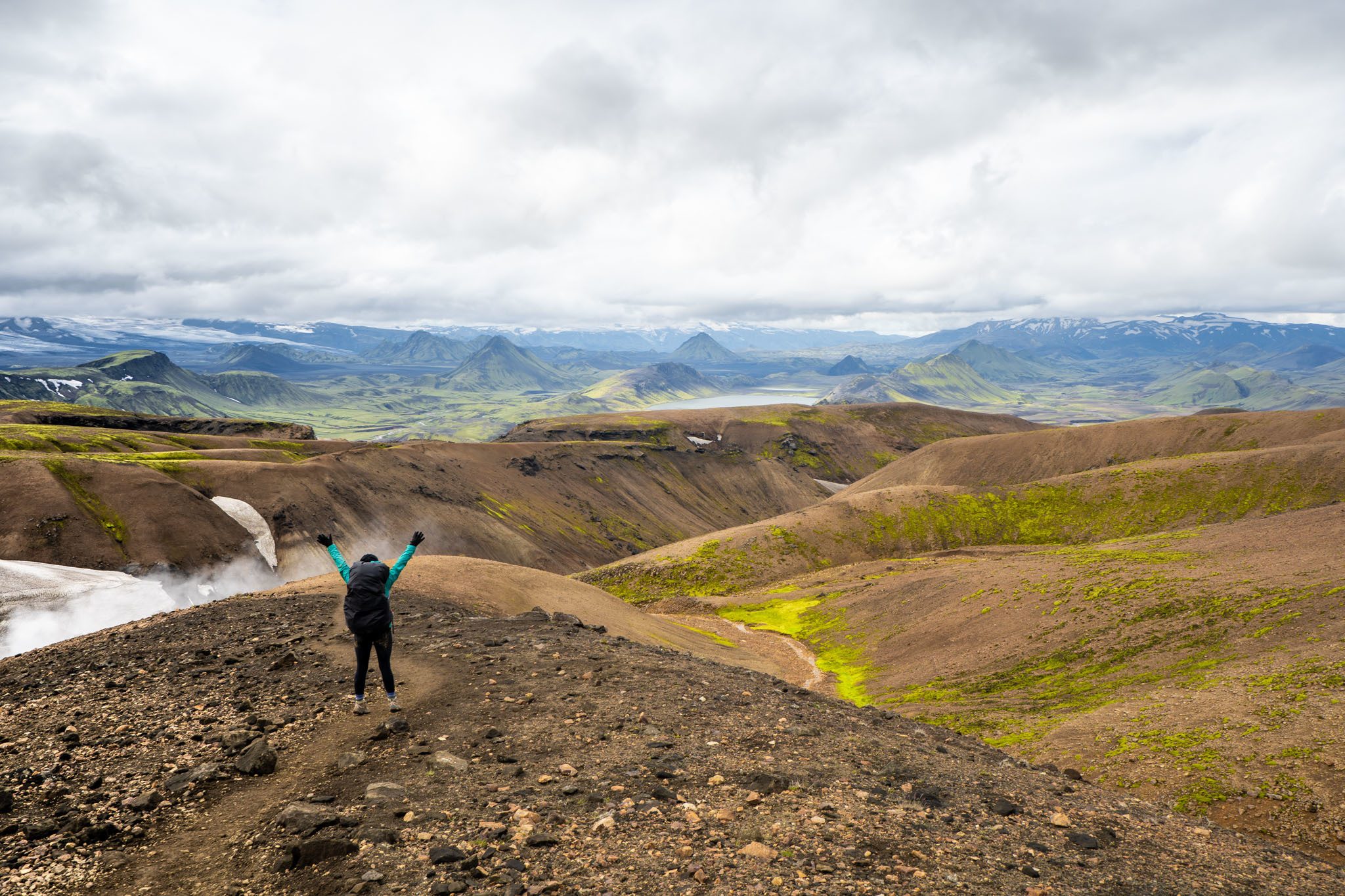
Food: I brought along plenty of just-add-water camp meals. After many backpacking trails, and being a human guinea pig, I figured out the best tasting ones. I have a ranking here to help you. It’s best to buy these at home and bring them into Iceland with you. Even though the huts have kitchens, this makes cooking so much easier and only requires that you boil water to make dinners. Additionally, pick up snacks and breakfast and lunch items at the grocery stores in Reykjavik before you head out. Some of the huts will have snacks and food, but don’t count on it.
Hiking: You need to have waterproof clothing. I’m not a fan of rain pants, so I wear lululemon leggings that dry super fast. However I do advocate a rain jacket and if you’ll use a rain cover, make sure it’s one that straps around the middle and around the waist so that it stays on in the potentially heavy wind. I love this one . Waterproof gloves are also a must.
Even if you’re not a fan of hiking poles , it’s important to have them on this trail. Parts of it are very steep and slippery, plus they’re useful for the river crossings.
Connectivity: Although the huts don’t have WiFi, I was shocked to find that I had cell service for most of the hike! I was able to surf on 3G, for better or worse, for most of the hike with a Siminn SIM card that I bought at the convenience store at the arrivals hall of the airport. Just keep in mind there is nowhere to charge electronics on the trail, so bring an external battery pack if you plan to use signal or charge camera batteries.
Sleeping: You will also need your own sleeping bag. The huts are pretty warm, so you don’t need something that will keep you warm below freezing. Bring a towel as well, as some of the huts have showers for 500 ISK (about $4), and they take credit cards.
Finally, bring an eye mask and earplugs. You could be sharing the room with snorers and since the sun never truly sets, it can get bright. Both are very helpful to shut-eye and were worth their weight in gold to me.
If you’re backpacking it, be sure to check out my backpacking packing list which has all of the gear that I use. It’s also helpful if you’re staying in the huts, just eliminate the tent and sleeping mat.
Day-to-day Itinerary
The following is the itinerary I took my BMTMAdventures group on, taking a leisurely pace so that we could enjoy each day, with plenty of time in the huts each night. Though I recommend bringing a map and tracking along on the maps.me offline GPS (download before you go and plot the huts in case it’s super foggy), the trail is usually pretty well marked.
Day 1: Landmannalaugar to Hrafntinnusker 12 km (7.45 miles) Elevation increase: 470 m (1,541 ft)
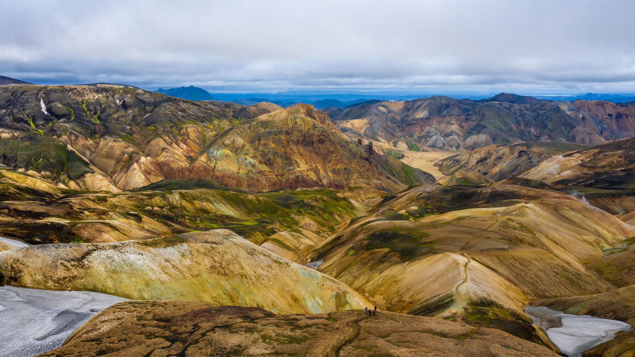
You have a couple of options for day one. Either you can make your way to Landmannalaugar, chill in the hot spring and spend the night in the hut to head out the following morning, which is what we did, or you can bus in from Reykjavík early in the morning and start your hike that same day. I’m glad that we gave ourselves some time in the area to do day hikes and to soak in that spring. It’s the perfect combination of scorching hot and cool water that had me straddling the line between the two for a good couple of hours. It also allowed us to start hiking early in the morning the next day when the weather was nicer.
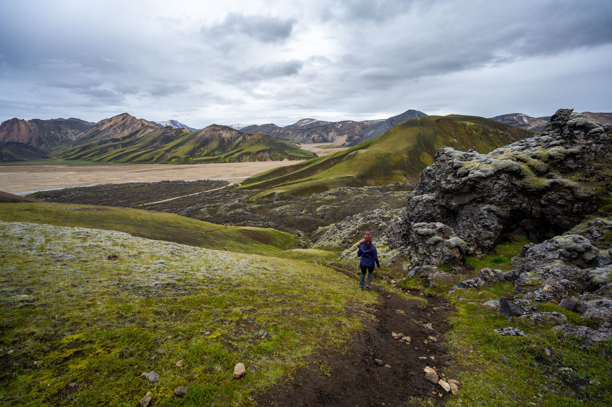
Your first day will involve a 470 m gain, passing piping hot fumaroles (The name for the tubes popping out smoke along the trail, just a few letters off from what you’ll experience should you end up falling into one), looking at the striped rock in shades of reds, greens, and oranges, and walking on snow a bit here and there as well. The uphill is mostly gradual except for two very steep parts, which are nearly vertical. However they don’t last long, and there’s no shame in hand and foot scrambling if needed.
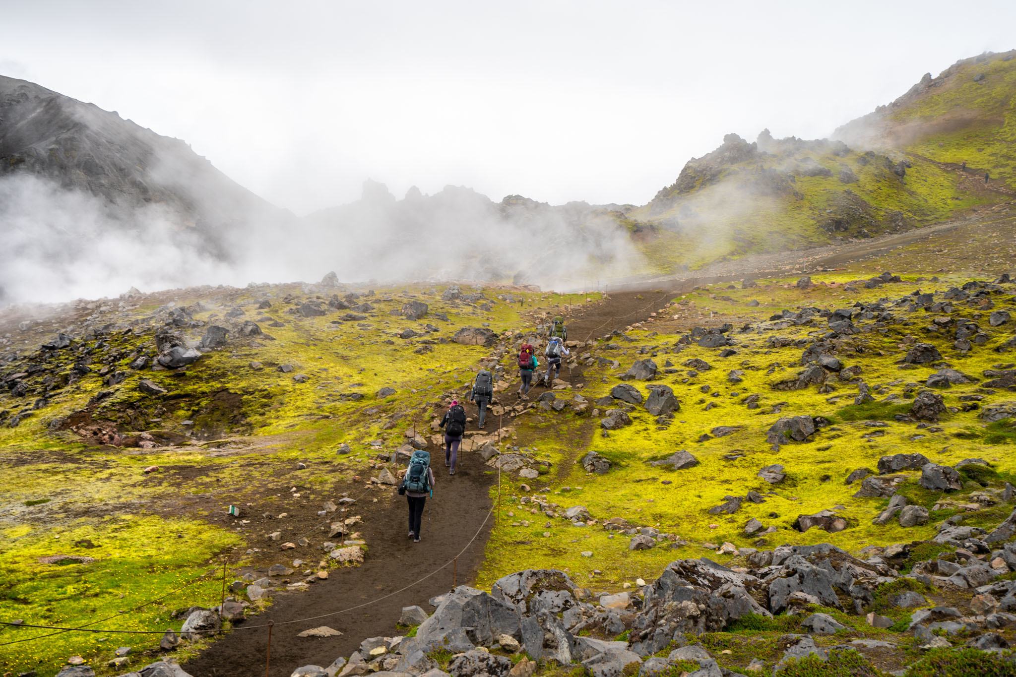
You’ll finish the day at the highest point of the trail in a basic hut with a few bunk beds with single mattresses and doubles. The doubles are barely larger than a normal twin bed, so try to get there early if you know that you don’t want to share. There are a few side hikes around there as well, but some fairly wretched weather moved in a few minutes after we arrived, so we chilled in the hut and did puzzles for the afternoon.
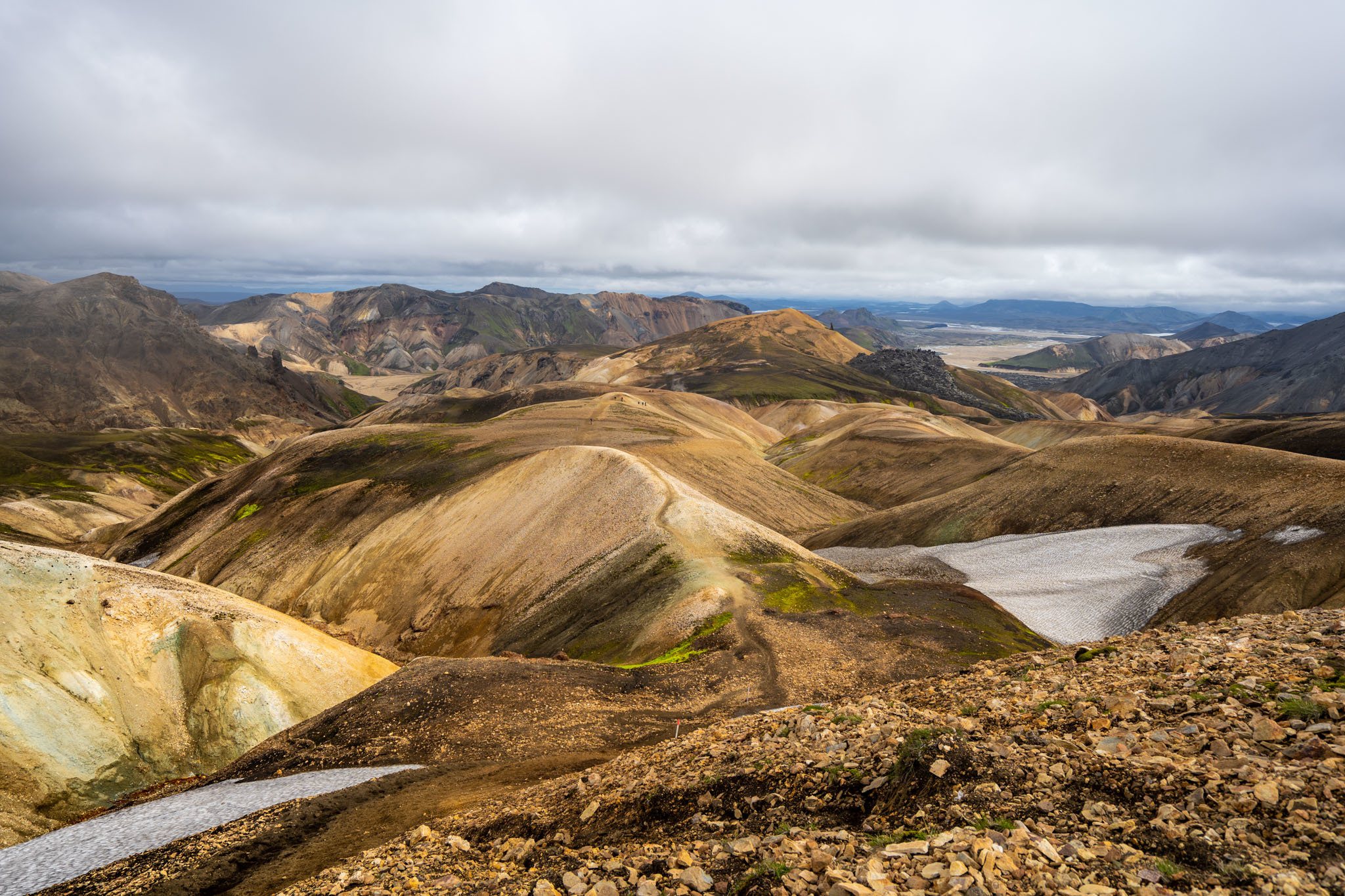
Given how much daylight there is, you will have plenty of time to hike each day. And since each day on this list is fairly short, if you’re a fast hiker you can probably combine one or two of these, particularly if you can’t get a hut reservation on one of the days.
Day Two: Hrafntinnusker to Álftavatn 12 km (7.45 miles) Elevation decrease: 490 m (1,607 ft)
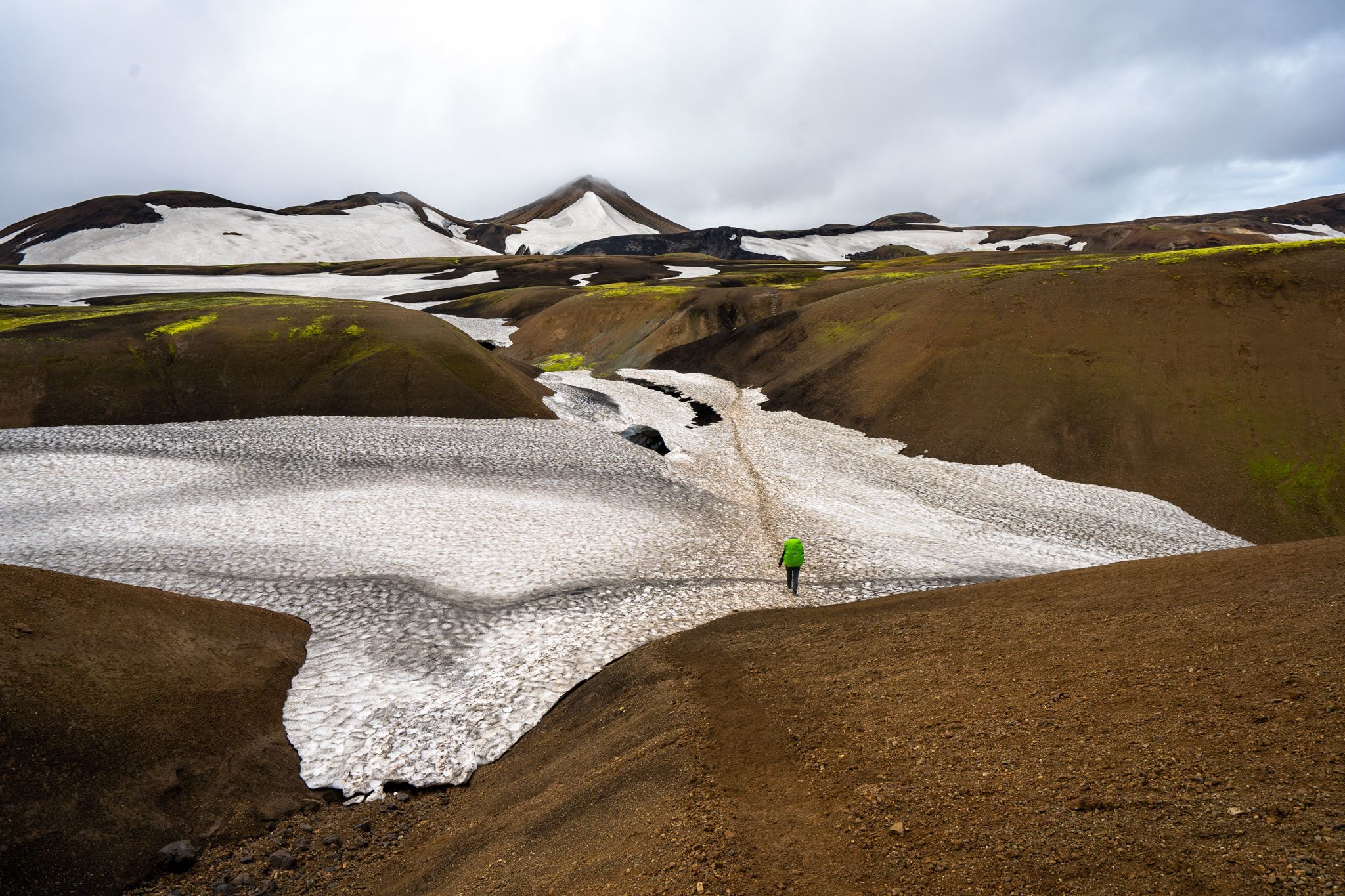
This was my favorite day of the Laugavegur trail thanks to the diversity of scenery. We began at the hut, with a chocolate and meringue colored landscape that reminded me of Choco Mountain on Mario Kart (anybody remember that level from N64? Please say yes). The day starts off relatively flat before an uphill climb to a sweeping view of the rainbow colored rocks in the distance. This is one of the last major views of these before descending into what looked to me like Middle-earth about an hour later.
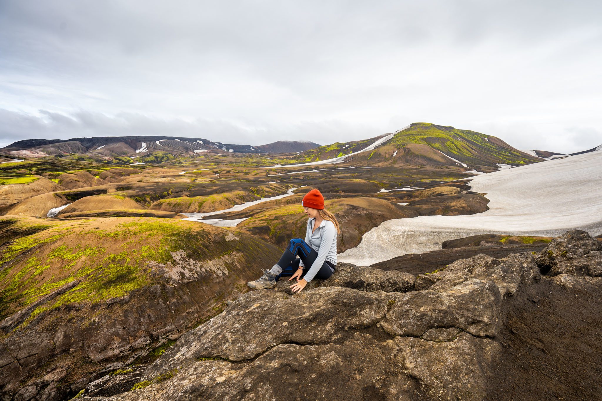
If you’re lucky enough to have a clear view, you’ll see a glacier to the left and impossibly green peaks in the valley below. It truly looks like you’re about to descend into another world. There will be a few ups and downs, some of which are quite steep and on clay, which is why I highly recommend hiking poles, before a final steep downhill to the greenery below – and your first river crossing. Obviously each year is different in terms of water levels, but this was a pretty tame river and an easy one to cross.
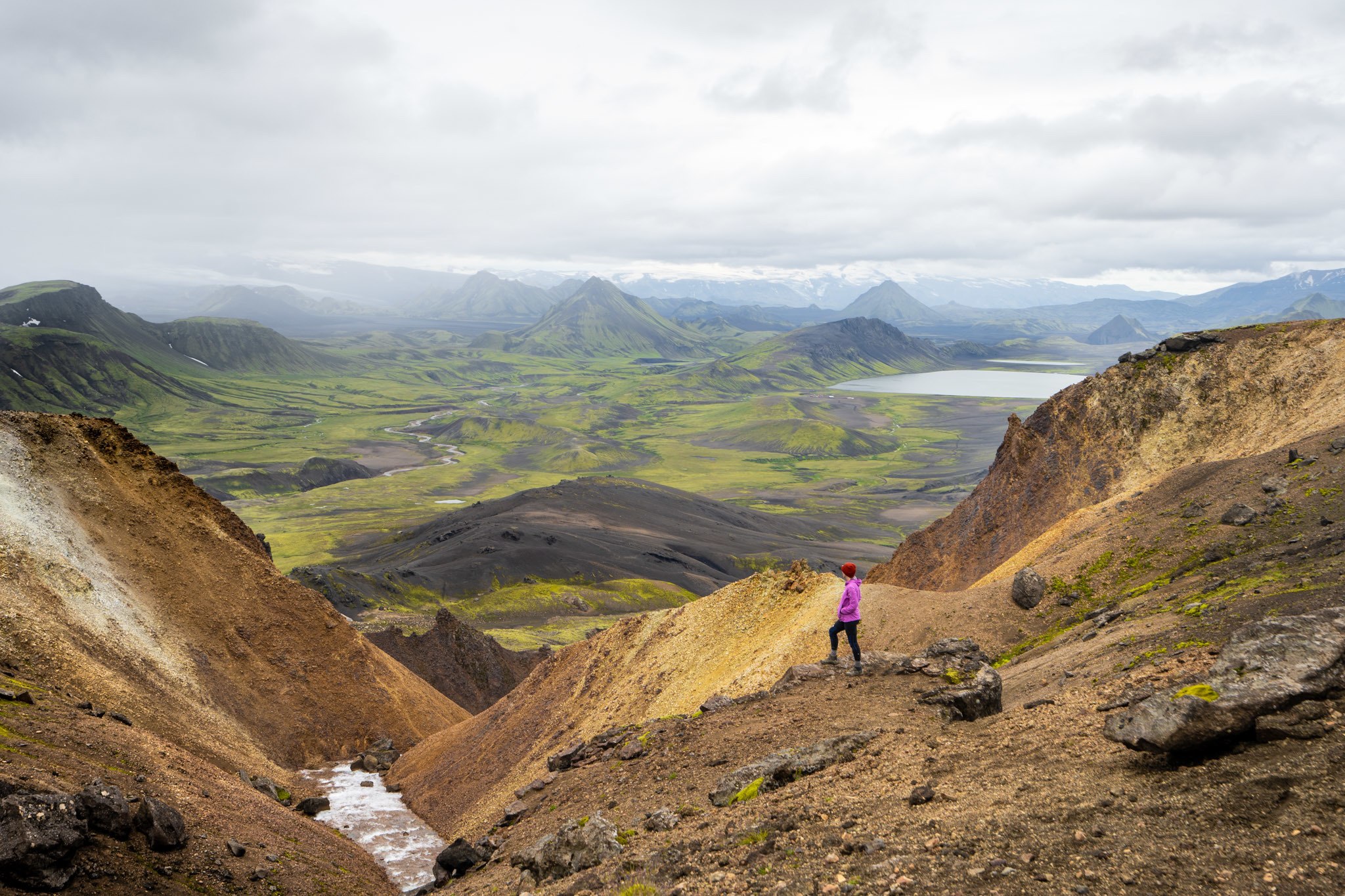
From there, make your way to a more comfortable hut than the previous night (that actually has running water in the bathrooms!) and the potential for hot showers. A few people even went swimming in the lake, which seemed certifiably crazy to me, but to each their own! It would make the hot shower thereafter that much more delightful.
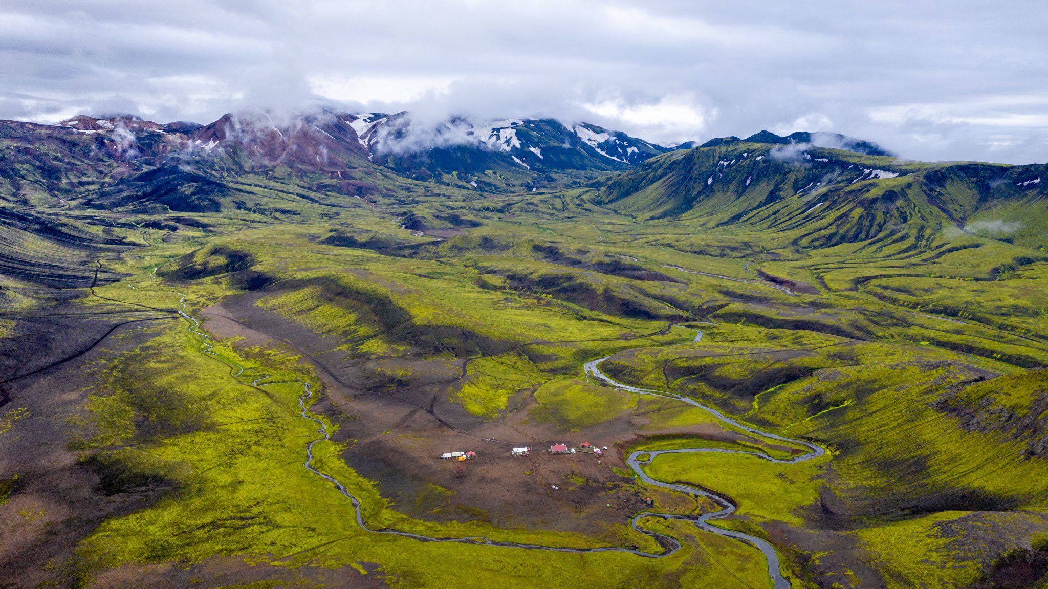
There is a restaurant and bar at this hut, so you can order some food if you please. It’s pretty expensive and marginal at best, but it is Iceland after all.
Day Three: Álftavatn to Emstrur (Botnar) 15 km (9.3 miles) Elevation decrease: 40 m (131 ft)
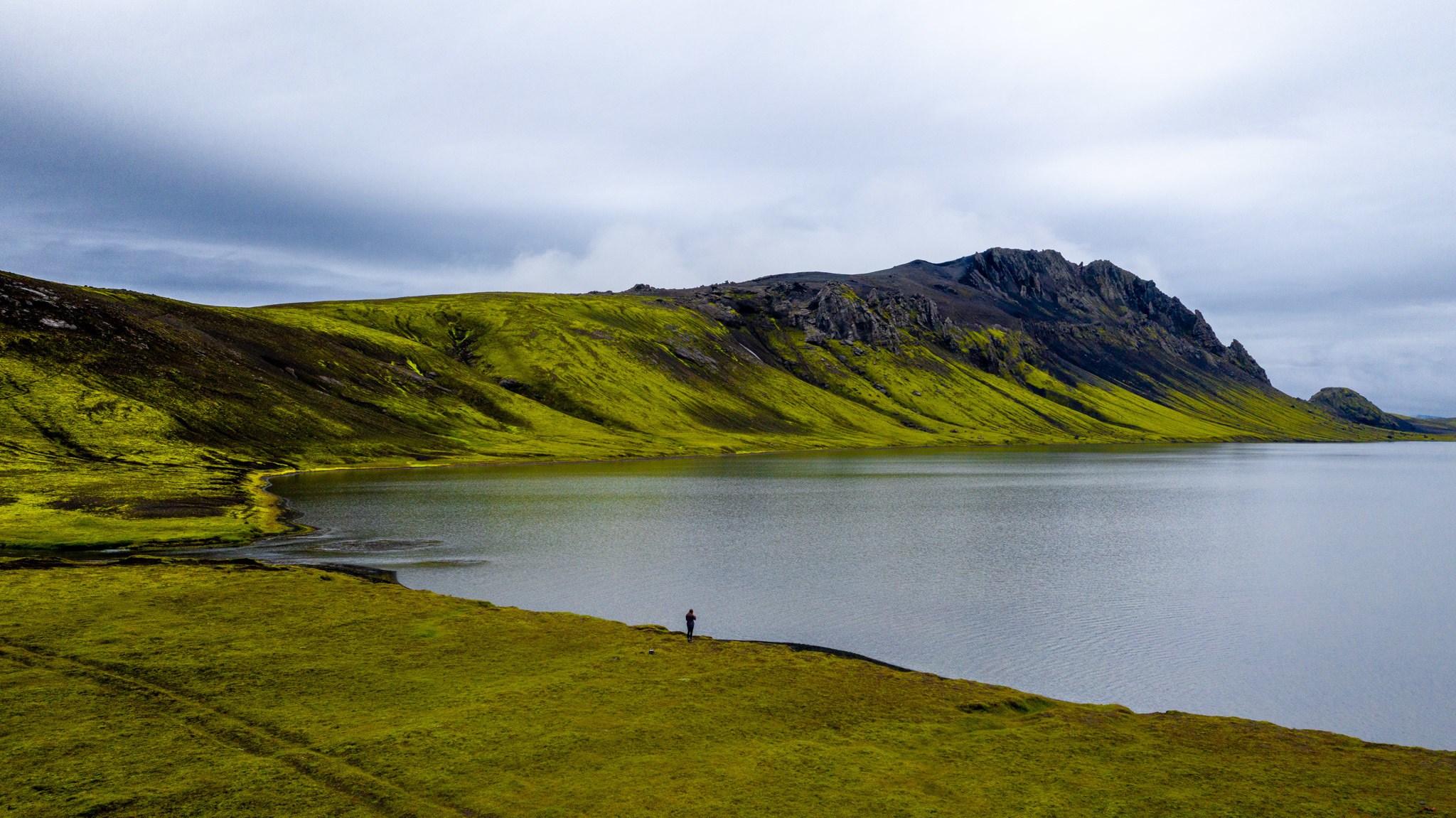
Day three will be a bit longer than the previous two days, but it’s also much flatter and without much elevation gain or loss. You’ll pass by another hut, a potential alternative to Álftavatn if you can’t get into that one, followed by a wider river crossing. This one felt much colder to me than the first one, probably because there was more water and it was longer to get across. Still, it was only about knee height on me and not too difficult to traverse.
By the way, the best way to cross the river is to face the current rather than the typical method of walking straight. Slide each foot side to side, without crossing them over, and don’t forget to unclip your backpack from your waist. This is the safest way to cross.
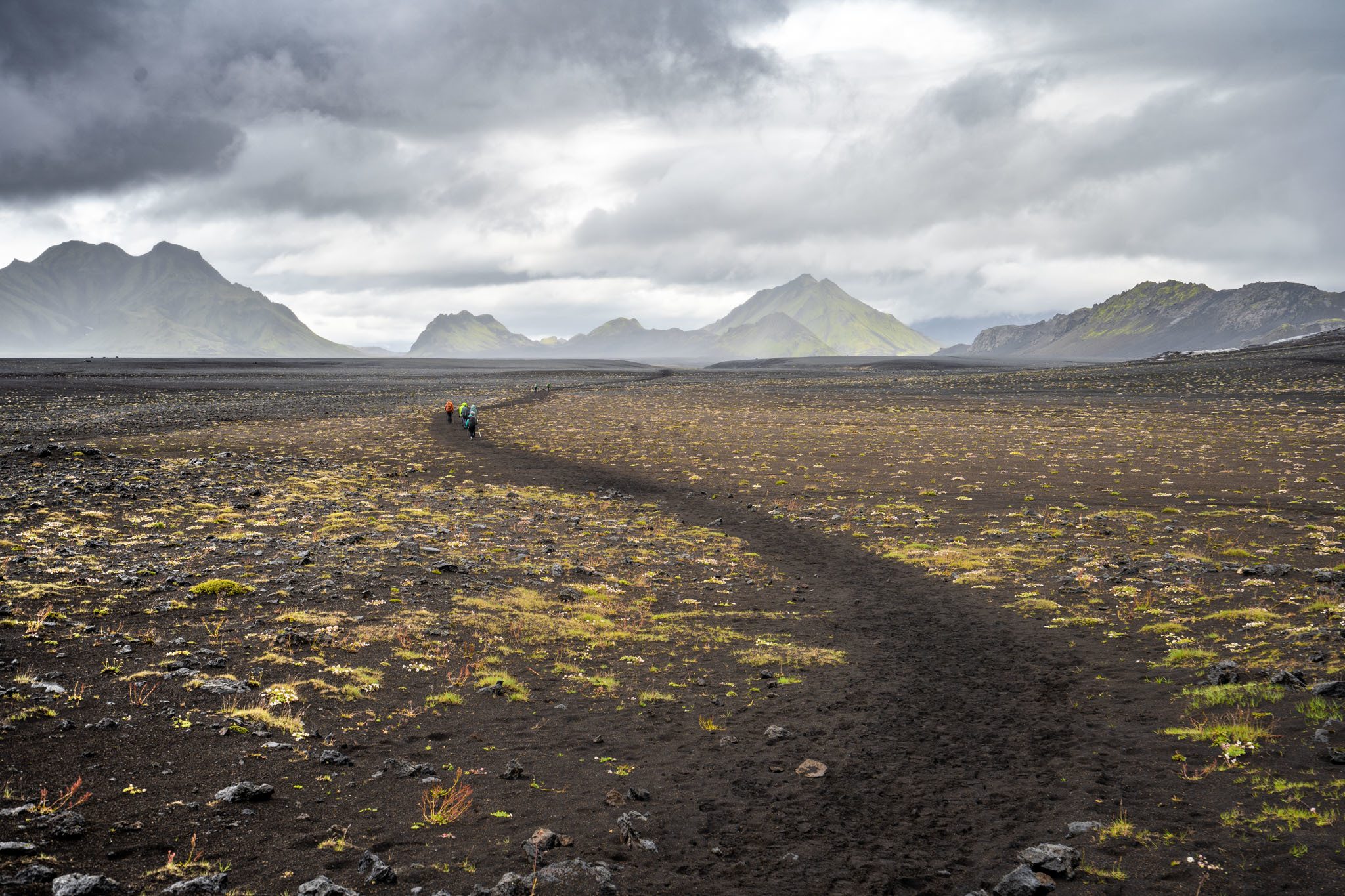
Next, you’ll more or less leave the green behind to walk across a volcanic field of pebbles and sand with little wildflowers. The landscape is mostly black with dramatic, jagged mountains. This eventually leads you past some glaciers and to a beautiful glacier view at Botnar, which is where you’ll spend the night.
Even though the huts on night one were a bit more basic, this was my least favorite because there were so many people in the room. It’s about 25 people to a hut, each with its own kitchen. There are showers available here as well.
Day Four: Emstrur (Botnar) to Þórsmörk 15 km (9.3 miles) Elevation decrease: 300 m (984 ft)
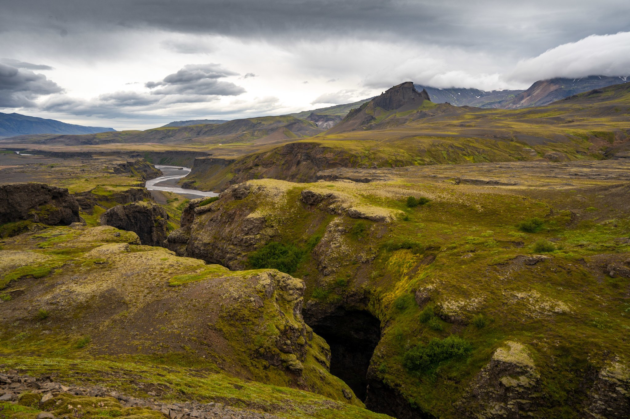
Similar in length to day three, day four will take you closer to the glacier, and then downhill a bit towards the canyon. There’s a steep descent down to a bridge where you cross the river, followed by the trail along the canyon edge with beautiful views.
You’ll follow this before another big uphill and eventual final river crossing for the Laugavegur trail. This is a pretty big river. Although it’s not necessarily deep, it takes a long time to cross because it’s quite wide. I recommend watching other people do it first to see where the better spots to cross are.
From here, it’ll be another uphill and then eventually a downhill to Þórsmörk. There are three different huts that you can stay at, though the Langidalur is the most common and also where the bus picks up to take you out and back to Reykjavik. Or, as I mentioned earlier in the post, the best possible thing you can do is keep going onward for two more days to Skógar on the Fimmvorduhals trail. This route will take you past over 20 waterfalls and what was, to me, the most beautiful day of the entire trek on day five, with glacial views and water carved canyons all along the way. It’s also about a 1000 m gain and then loss, but it didn’t feel that intense to me. Be sure to check out my post on that trail to decide if it’s for you.
A big factor determining your enjoyment of this trail is going to be something that you can’t control – the weather. If you have heavy fog and can’t see the views, it’s not going to be as exciting, but we found that by leaving earlier in the morning we had a better chance at good weather. It’s also imperative that you’re prepared for the elements. By having a waterproof jacket and making sure that I was warm enough, I was never that uncomfortable. I also have a separate pair of shoes for crossing rivers so that I didn’t have to have wet feet. At least if everything else was soaked, my feet could be warm and dry. I also think staying in a tent would have severely impacted my enjoyment of this trail, considering that they had to deal with crazy strong winds and lots of rain overnight. As much as I love backcountry backpacking, when I know there is a hut nearby, it’s harder for me to enjoy it. Keep in mind that severe weather is part of traveling in Iceland, so if you can afford it, you might want to stay in the huts.
All in all the Laugavegur is one of my favorite backpacking trails that I’ve done. The diversity and beauty blew my mind over and over again.
I hope this resource has helped you to plan out your Laugavegur trail experience with a bit more info. Stay safe, have a blast, and let me know how it goes for you.
Camping Along Iceland’s Ring Road
The perfect iceland ring road itinerary, things i wish i knew before i backpacked for the first time, about kristin addis.
Kristin Addis is the founder and CEO of Be My Travel Muse, a resource for female travelers all around the world since 2012. She's traveled solo to over 65 countries and has brought over 150 women on her all-female adventure tours from Botswana to the Alaskan tundra.
Leave a Reply Cancel reply
Your email address will not be published. Required fields are marked *
Save my name, email, and website in this browser for the next time I comment.
subscribe to our newsletter
This site uses Akismet to reduce spam. Learn how your comment data is processed .
01/25/2020 at 2:07 am
Hi Kristin, I am.so glad that I stumbled on your website. I am planning to walk the Laugavegur Trail on my own, in the first week of July. It has been a lot of Years since I did a multi day hike, so appreciated the tips on your website, to refresh my memory. I am struggling with the Hut booking process though. Every time I send F island some dates, they say the hut is booked, in fact they say that the Huts are basically booked out for all of July. Do people just reserve them or do they have to pay for their hut bed up front, ie, when they book.? Perhaps I should try some dates, but walking in the opposite direction , South to North.. maybe this won’t be as busy or heavily booked. Kind regards Lynne
Kristin says
01/25/2020 at 9:31 am
It might already be booked out, unfortunately. You can try to take a chance and get last minute bookings but then you’d still have to bring a tent in case they don’t have any.
HelenF says
01/24/2023 at 3:57 am
Hi. I’ve just discovered this blog doing some research as I am hoping/planning to do the hike solo in July. I intend to take a tent and camp as the huts will make it out of my budget. I notice your reply was in 2020 – did you complete the hike and have you got any tips/recommendations? 🙂
Jenny Tsang says
03/11/2020 at 1:27 pm
Great post w very helpful tips. Thanks!
Just curious –
What bus company did you use from Reykjavik to Landmannalaugar and from Þórsmörk back to Reykjavik?
03/11/2020 at 2:46 pm
We had a private driver but there are several options available!
gaurav koolwal says
08/10/2021 at 8:04 am
Thanks a lot for the info Kristin, very useful, couple of questions if I may. Firstly, unlike say Inca trail where one has to use an authorised tour guide, its not required legally to hire a tour guide correct? Also, is there a single link where one can find all the huts which one needs to book? thanks a lot
08/10/2021 at 9:09 am
Correct you don’t need a guide on this one. The link is in the post! 🙂
Todd Waits says
02/21/2022 at 2:39 pm
Hi. I liked your blog. My group trip was full, so I find myself about to do Laugavegur solo. I noticed that so many trips book for July 15, but I want to start on 18th and finish on 22nd. Is there a limited transport to Landmannlaugar on dates other than 15th? Will I have trouble getting a pickup on the 22nd? Just curious as it seems everyone leaves at same date?
02/22/2022 at 10:11 am
My guess is group trips are just trying to start and end on weekends, although there could be schedule changes now due to COVID, transport used to be daily.
03/12/2022 at 11:17 am
Hi! Great info! Who was your private driver? I’m trying to book something like that. Thanks
09/04/2022 at 12:46 pm
I don’t see anyone ever comment on the way back. Are you hiking back and paying for huts 2x or is there a bus?
09/04/2022 at 5:06 pm
There’s a bus 🙂 I mentioned it briefly in the second to last paragraph of this post.
Kendra Madrid says
11/29/2022 at 2:06 pm
Thanks for a great blog. Appreciate you immensely! I’m trying to figure out how to get from Reykjavik to Landmannalauger. I know you had a private driver, but can you recommend a particular bus company?
12/04/2022 at 10:32 am
I haven’t taken any bus companies before in Iceland but I’d probably just pick the best reviewed one on Google.
The Laugavegur Trail in Iceland: 2024 Complete guide
- Updated on: April 3, 2022
This article may contain affiliate links. For more information, please see our disclaimer here.
Table of Contents
Iceland is one of the last few remaining truly wild places on earth, and exploring it was one of the greatest adventures we ever had. During our epic trip, we spent a lot of time trekking and camping throughout the highlands. The Laugavegur trail was one that we were so excited to tackle.
While we didn’t manage the Laugavegur trek in its entirety that time, we did spend a lot of time planning for it. So, in this guide, we’ll tell you everything you need to know about tackling the Laugavegur trail, Iceland’s most diverse and incredible hike.
Hiking the laugavegur trail: Must known
How long is the laugavegur trail.
It’s arguably one of Iceland’s most iconic hikes, a 4-day trek across 55-km of wilderness, taking in breathtaking scenery at every turn. Sadly, we were hit by a series of crazy storms, and spent two days taking shelter in our tent! But, we did explore the area on some shorter Laugavegur hiking trails once the weather cleared, and it was breathtaking. ho
When is the best time to hike the Laugavegur trail?

While Iceland is a fantastic destination to visit at any time of the year, if you’re planning to tackle the Laugavegur trail, you need to be a little more careful. As we discovered, the weather in this part of Iceland can be extremely temperamental!
In general, the trek can be carried out from around mid-June through September — as long as you have the right gear! Even in the middle of summer, you can experience cold temperatures, storms, and extreme conditions.
The best advice is to check in with the hut wardens before you set out. They’ll be able to tell you about any upcoming unsafe weather, as well as the latest conditions. Whenever you go, prepare for wind, rain, snow, and cold temperatures.
You can find out more about the ‘ Best time to visit Iceland ’ in our handy guide!
How to get to the Laugavegur trail?

The easiest way to get to the Laugavegur trail head is to take a bus. Trex offers a daily (June through September) highland bus service, stopping at Landmannalaugar, Þórsmörk, and Skógar. Best of all, they provide a special ‘Hiker’s Bus Pass’.
You need to book the Hiker’s Bus Pass in advance, and it costs from 7,500 ISK (around €50). This includes the 4-hour trip from Reykjavík to your start point, and the return trip from your end point. There are a few different times to choose from each day, allowing a little flexibility. You can also pick and choose your preferred start and end points.
Hitchhiking in Iceland
Alternatively, if you’d like to save some cash and avoid having to be restricted to the bus schedule, you could try hitchhiking. Hitchhiking is pretty common in Iceland, and many of the locals rely on it as a means of travel.
In fact, when we hired a car, we picked up a few people along the way! Just grab a sign and find the road exiting the city in the right direction, and you’re good to go! Always take precautions though and let someone know your plans.
How difficult is the Laugavegur trail?
The Laugavegur trail is in general not a really difficult long-distance hike. It all depends on some factors:
- The weight of your backpack, are you carrying camping gear with you?
- The direction you hike. From north to south is less climbing
- The Weather and trail conditions
So when one of the factors above is more challenging, the experience will be more difficult. When you are a fit hiker with a good condition you will be fine to hike this trail in 3 days I would say.
How long does it take to hike the Laugavegur trail?
If you take out the crazy weather, the actual Laugavegur hike is fairly moderate compared to other long distance hikes. The daily kilometers aren’t too high, and if you’re starting north to south, the inclines are mostly on your side.
On the other hand, if you travel south to north, expect a lot of climbing! Along the way, the route takes in crashing waterfalls, rushing rivers, volcanoes, hot springs, canyons, glaciers, and much more! For the most part, if the weather holds out, most hikers of reasonable fitness can comfortably complete the entire route in 3-4 days.
The Laugavegur trail is known for its river crossings, which can vary from ankle to waist deep in icy cold, fast flowing water. Be sure to check with the wardens before proceeding, and get a good idea about how accessible the next stage is.
You might also like: Top 24 hot springs of Iceland
Video: Laugavegur Trail Inspiration
Which direction to hike the Laugavegur Trail
Most hikers would suggest hiking the Laugavegur from north to south to avoid very long climbs and have the wind into your back.
Ready for a more challenging hike? Start in the south and expect more uphill hiking and longer days.

Laugavegur trail map
Click here or on the title of the trail on the right corner of the map, to get more information.
Day 1 Landmannalaugar to Hrafntinnusker
- Distance : 12 km (7.45 miles)
- Elevation increase: 470m (1,541 feet)
The first day is one of the most physically challenging, with a lot of climbing. From the bus stop, the path is clearly marked and as you follow the trail uphill, you become surrounded by mountains, their hues changing with the light. Once you reach the peak, you’ll arrive at Hrafntinnusker hut and campground, where you’ll spend the night.
Day 2 Hrafntinnusker to Álftavatn
- Elevation decrease: 490 m (1,607 feet)
What goes up must come down, and today will be mostly spent gently making your way down towards Álftavatn hut. As the rocky landscape opens up, the views are immense, taking in lakes, craggy valleys, and gorgeous mountains. Álftavatn hut and campground takes its name from the lake that it’s situated by, a stunning place to rest for the night.
Day 3 Álftavatn to Émstrur
- Distance : 16.9 km (10.5 miles)
- Elevation gain: 421 (131 feet)
Today is a day of river crossings and short but steep inclines and descents. The going can be tough, though the first crossing at the Bratthálskvísl river isn’t too bad. Later in the day, however, you’ll need to tackle the hardest river crossing on the route.
At the Bláfjallakvísl river, the fast-flowing, icy cold water often reaches up to your waist. Once you’ve made it across, a largely flat, almost desert-like landscape takes you to Émstrur hut and campsite.
Day 4 Émstrur to Þórsmörk
- Distance : 16.7 km (10.3 miles)
- Elevation gain: 445 m (1450 feet)
Heading downhill for much of the day, more incredible views surround you, especially as you cross through the Syðri-Emstruá River gorge. The trail more or less follows the river, before crossing a few smaller tributaries. As the river swells to become a lake, you turn away towards the Þórsmörk hut and campsite.
This is the end of the Laugavegur Trail, and in the morning you can grab a bus back to Reykjavík. Or you can add a couple of extra days on to your hike and tackle the Fimmvörðuháls Trail — let’s take a look!
Day 5 Þórsmörk to Fimmvörðuháls
- Distance : 12.1 km (7.5 miles)
- Elevation gain: 838 m (2,750 feet)
As you leave Þórsmörk, the route gradually makes its way uphill, winding up into the spectacular mountains. Along the way, stunning views over the surrounding glaciers open up, before the mountainside becomes exposed. After a final short but steep climb, you’ll find yourself at the highest point between the Eyjafjallajökull and Mýrdalsjökull Glaciers.
From here, it’s a short, mostly flat walk to Fimmvörðuháls hut and campsite.
Day 6 Fimmvörðuháls to Skógar
- Distance : 14.5 km (9 miles)
- Elevation gain: -1,016 m (-3,333 feet)
This final day sees you wandering continuously downhill towards Skógar, through almost otherworldly terrain. Beautiful waterfalls burst from the mountains all around, while the ever-changing scenery never fails to take your breath away. Finally, you arrive at the majestic Skógar waterfall, where the trail officially ends.
Where to stay on the Laugavegur trail?
Despite the wild terrain, there are some great places to stay along the Laugavegur hiking trail. Ferðafélag Íslands — the Icelandic Touring Association — maintain a fantastic mountain hut system, and operate a number of campsites along the way. There are also a handful of private campsites and hostels along the way.
Laugavegur Trail Mountain Huts
You’ll find a number of basic, yet comfortable huts along the way for hikers to spend each night. Each is spaced around a day’s walk from another, so it’s easy to stay in a hut every night of your trip. These typically cost 9,500 ISK (around €65) per night.
Each hut offers simple bunk beds — though you’ll need to bring your own sleeping bag — in communal dormitories. In addition, all of them are staffed by knowledgeable wardens, plus there are cooking facilities, a small shop, and paid showers.
With space for anywhere from 10 to 75 guests, they’re a popular choice, but they still get booked up way in advance. Be advised that during the high season, you must book long in advance, and can only book if you’re hiking from north to south. The following huts are all on the Laugavegur trail:
Laugavegur trail huts
- Landmannalaugar Hut
- Hrafntinnusker Hut
- Álftavatn Hut
- Hvanngil Hut
- Emstrur Hut
- Þórsmörk (FI Hut)
- Þórsmörk (Volcano Hut)
Camping on the Laugavegur Trail
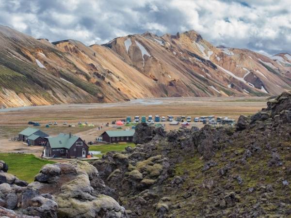
When we traveled through Iceland, we spent a lot of time camping. It’s an amazing way to get close to the incredible nature all around you. It means you’ll need to carry camping equipment with you, but with the best backpacking backpack , it’s not a problem!
While wild camping isn’t allowed in Iceland, there’s no shortage of fantastic campsites along the Laugavegur trail. In fact, there are campsites at each of the mountain huts — simply speak to the warden and pitch up your tent. These all cost 2,000 ISK (around €13.50) per night, and offer basic amenities such as toilets, paid showers, sinks, and drinking water.
The best thing is that you don’t need to book in advance, and can pay on arrival. This gives you much more freedom to spend a little longer exploring a particular area, rather than having to keep moving in one direction.
Camping in Iceland requires a bit more preparation compared to less extreme parts of the world. For some advice, check out our guide!
What to bring on the Laugavegur Trail

Since the weather in this part of Iceland is so changeable, it’s important to be prepared for anything. However, you don’t want to be lugging around heavy equipment that you’re unlikely to use. Here are some of the main things we’d recommend for anyone tackling this incredible hike.
- Warm sleeping bag: even in summer the nights are cold on the Laugavegur trail. A high quality, adequately rated sleeping bag makes a world of difference on those cold nights. Remember, some huts don’t have heating running during the night, and if you’re camping, you’ll be glad you spent a little extra.
- Eye mask: since the trail is only really accessible during the summer, you can expect almost 24 hours of sunshine. We can generally sleep pretty much anywhere, especially after a day of hard walking! But we found that blocking out the light makes it much easier to drop off!
- River crossing shoes: the Laugavegur trail is renowned for its numerous, icy cold river crossings. A sturdy pair of waterproof shoes with good grip make these crossings a hundred times safer than going barefoot or in flip-flops.
- Waterproofs: wind and rain can ruin your day if you’re not prepared. A good waterproof jacket is essential, and just as importantly, be sure you have a rain cover for your backpack.
- Proper clothes: remember the layer-system and pack the clothes that will keep you warm while you rest, and cool while you scramble up steep inclines in the blazing sun!
- A bag for your trash: always make sure that you take all your trash with you!
This list is just the tip of the iceberg, but you can check our full guide to hiking in Iceland for more details.
Important notes
While the Laugavegur trail is one of Iceland’s most popular hikes, that doesn’t mean it’s a piece of cake, and you should never treat it lightly. As we found out, the weather can put heed to the best laid plans.
We were kinda lucky in that our storm struck while we were in the campsite rather than halfway through the trail, but the weather can turn at any time. In addition, dangerous river crossing, steep inclines, and rugged terrain can cause accidents, even among the most seasoned hikers.
We’re not trying to put you off, it wouldn’t be an adventure without risk! But, taking a few precautions in advance and preparing properly before heading off, can prevent a bit of bad luck becoming a major disaster. Here are some important things to consider:
- Phone signal: there are large sections of the route that don’t have any phone signal at all. Instead of relying on your phone, it’s better to use a GPS tracker. We use the Spot GEN3 , which lets us call for help in an emergency, even without a phone signal. Plus, in life-threatening situations, our location can be broadcast to local rescue teams.
- Use GPS: the idea of using a map and compass, and your own considerable skill, is a romantic notion. But it’s not a very practical one! Blizzards and mist can soon blow in, making navigation almost impossible. With an accurate GPS route on your phone or watch, you’ll be able to make your way, even in the worst conditions.
- Travel insurance: this is useful to have at the best of times, but on a perilous hike, it’s pretty much essential. Also check out our guide on how to find the best travel insurance that suits your needs!

Didn’t find what you’re looking for? Let’s take a look at some of the Laugavegur trail’s most frequently asked questions:
FAQ laugavegur trail self guided
Can i buy food along the way.
It is possible to buy basic supplies along the way. Each mountain hut has a small shop, selling basic supplies; boil in a bag meals, chocolate, energy bars, etc. However, it’s important to bring your own Laugavegur trail food — there should always be some emergency supplies in your backpack, just in case.
Where do I need to Pee on the Laugavegur trail route?
You’ll find simple drop toilets or latrines at each hut and campsite. When nature calls on the trail, there aren’t always trees or bushes to hide behind. So, there’s not much else to do than leave the path and enjoy the open air!
Can I take a shower?
Most of the mountain huts and campsites do have showers. You’ll need to pay 500 ISK (around €3.40) for 5-minutes of warm water. Be advised, Hrafntinnusker hut doesn’t offer shower facilities.
Do I need hiking poles?
This largely comes down to personal preference. Some hikers are extremely glad to have their hiking poles, especially on the river crossings. Others prefer not to carry them. For us, we take them and do find that they help on rougher terrain, but don’t use them very often. Fortunately, they’re lightweight and pack away easily.
Pin for Later

Multi-day hikes aren’t for everyone, and sometimes time just doesn’t allow for 4 to 6 days out in the wilderness! But if you’re looking to experience the sheer beauty of this incredible area, there are a number of fantastic day hikes from Landmannalaugar. You can find out more in our full Landmannalaugar hiking guide.
Are you ready to discover more about Iceland? Check out our Iceland page to read all our Iceland articles.
All iceland posts
Leave a Comment Cancel Reply
Your email address will not be published. Required fields are marked *
Related Posts

Iceland Packing List: What to Pack in Winter and Summer?

Diamond Beach & Jokulsarlon Iceland Guide 2024: For Winter and Summer Trips
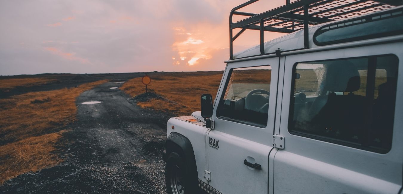
Ultimate 2024 Guide Car Rental in Iceland: All you need to know
Deals iceland, activities & tours, travel insurance, accommodations, destinations, travel tips.
You are using an outdated browser. Please upgrade your browser or activate Google Chrome Frame to improve your experience.

- Trip Styles
- Destinations
Backpacking the Laugavegur Trail in Iceland: Everything You Need to Know
- All Inspiration and Destinations
- Canadian Rockies
- New Hampshire
- New Zealand
- North Carolina
- Vancouver Island
- Washington State
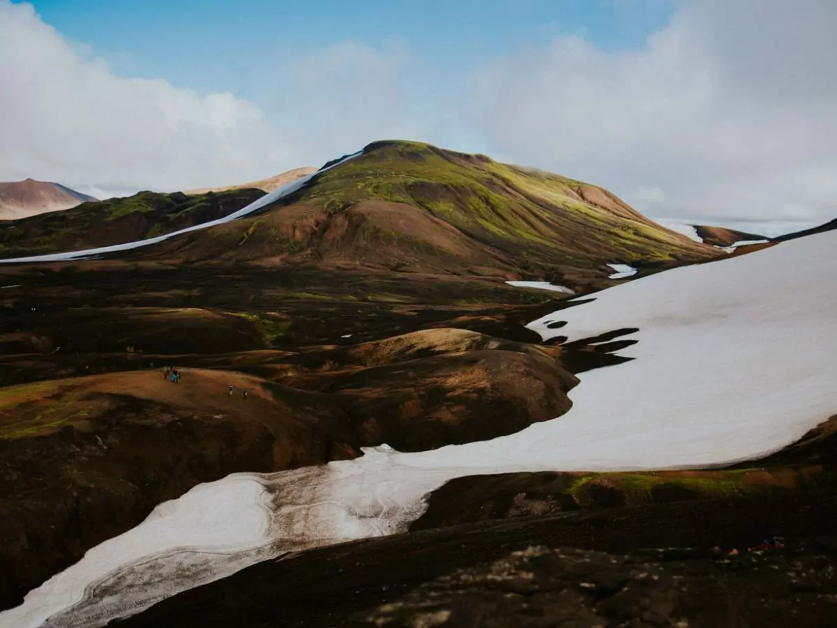
The rain was coming in sideways and every inch of me was soaked. I shifted my weight from leg to leg, trying to get the pressure of my overweight backpack off my sore hips. Looking behind me I could see the faint shapes of Max and Louisa, the German couple I would meet in the coming days.
“As long as they stay behind me, I will be okay,” I kept telling myself, feeling the slight panic of being alone in the middle of the Icelandic wilderness. Looking ahead, all I could see were grey skies, rain coming in sideways, and the faint shapes of snowfields and red and gold streaked hills.
It was the first day of my first solo hiking trip, and I was backpacking the Laugavegur Trail, smack dab in the middle of Iceland. The trail runs 55 kilometers from Landmannalaugar to Thorsmork, passing through a variety of out-of-this-world landscapes. From red, gold, and green hills dappled with snow, to black lava fields, to plummeting canyons with waterfalls, this trek covers some of the most spectacular terrain on earth. It’s a trip that anyone who loves to travel and hike will dream about for years to come. Just don’t forget your camera!
hike the Laugavegur trail with Award Winning Guides
Why Hike the Laugavegur Trail?
The Laugavegur Trail travels about 35 miles (55 kilometers) from Landsmannalauger to Thorsmork. As you traipse across black sand basalt fields with mountains towering above you, you will feel like you are on the moon. You will pass by glaciers stretching to the horizon. The trail brings together people from different countries who come to explore this out-of-this-world area in the Highlands of Iceland.
For many, including myself when I hiked it in 2016, this trail challenges every fiber of your being. But why do we hike? Why do we travel? For some, it may be to relax and recover from a stressful job or lifestyle. But if you are even considering hiking for four days in Iceland, you probably find satisfaction in pushing your body. In stepping outside of the norm, and exploring places that few get to see. If you are someone who looks back on a challenge and sees the beauty, the joy, and the fun — even in the pain — this trip is for you.
Of course, like any backpacking trip, it helps to be in good shape. If you’re comfortable carrying a pack and hiking long distances over rugged terrain, this trip will be more enjoyable in every way. Although I could’ve been way more prepared for my Laugavegur trek, it was still one of the most memorable and life-changing experiences of my life.
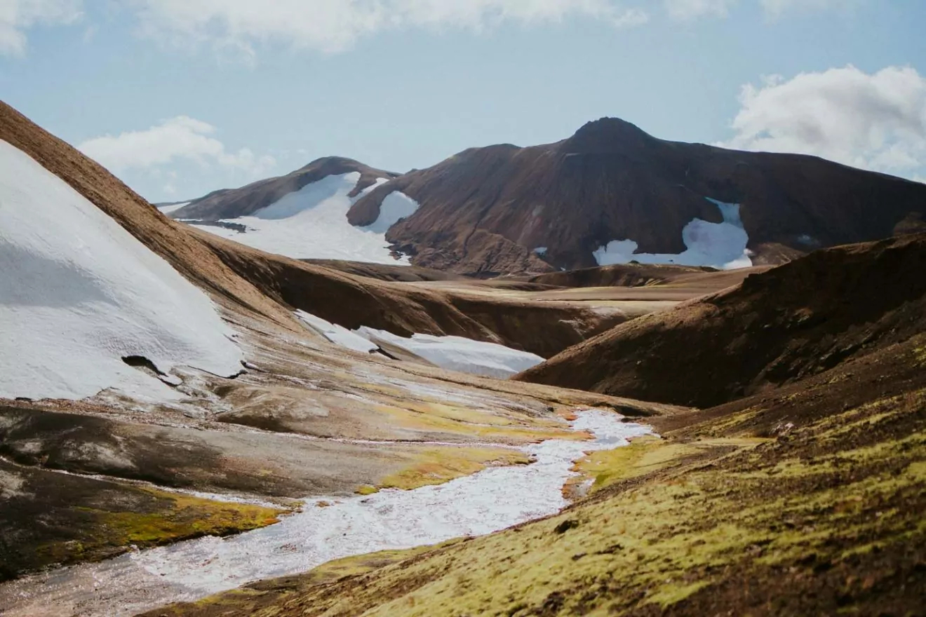
And then there’s the weather. I could feel the water squelching in my boots, and may have even shed a tear or two that day as I hiked the first 10k (~5m) from Landmannalaugar to the Hrafntinnusker Mountain Hut. Arriving at the hut, soaked to the bone, I immediately abandoned all plans of setting up my tent, and headed inside to get warm.
It was in the hut, after I changed into dry clothes and strung all of my wet gear around the wooden walls, that I met Adelaide. We were sitting next to each other at a long wooden table, both writing in our notebooks. We struck up a conversation, connecting over the fact that we were the only young, female solo travelers in the hut. Neither of us had done anything like this trip before, both having purchased sleeping bags and backpacking packs specifically for this trip. We ended up hiking together for the rest of the trail. For both of us, it changed our lives.
What to Expect
Whether you are planning to hike the trail on your own, or as part of a guided trip, the journey will typically take four days/three nights. Of course, if you are speedy, or want to take your time, you can extend or shorten it as you wish. I followed the detailed itinerary below, and it is the itinerary we run as our Laugavegur Classic Trip.
Typically, you start in Landmannalaugar and head to Thorsmork, going north to south. From Thorsmark, you can take a bus back to Reykjavik. Or, you could continue hiking an extra day or two to Skogar ( Laugavegur to Skogar ). You could also go south to north, starting in Skogar or Thorsmork and heading to Landmannalaugar. However, this direction would have more elevation gain.
Whichever direction you decide to hike, you can easily catch busses to and from to and from Landmannalaugar and Thorsmork at the start and end of your trip.
Pro Tip: Before you head out, make sure you check out the hot springs in Landmannalaugar! Or, if you finish in Landmannalaugar, a post-hike recovery soak would be perfect.
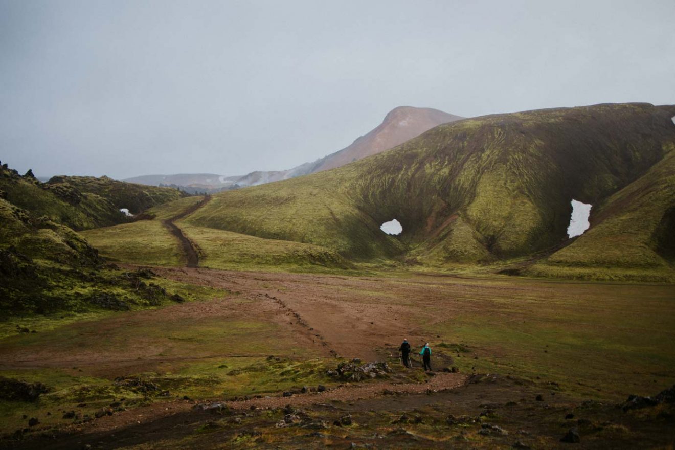
Day One: Landmannalaugar to Hrafntinnusker
Distance: 6 miles, ~1300 feet of elevation gain.
Hike through red and gold rhyolite hills frosted with snow. If you are lucky enough to have good weather (unlike my experience), you will be able to see glaciers in the distance. The trail weaves over hill after hill, steadily climbing and descending throughout the day. Keep an eye out for evidence of the geothermal activity — like steam rising from the warm ground— underneath this otherworldly landscape!
Day 2: Hrafntinnusker to Álftavatn
Distance: 8 miles .
Start the second day at Hrafntinnusker Hut, high in the Icelandic mountains. Continue hiking over rolling terrain, crossing a few small creeks before arriving at a ridge overlooking Alftavatn. The huge valley and lake mark a turning point in the landscapes along the Laugavegur. Suddenly green mountains and mossy tundra dominate the views. The trail descends into the lush green valley where you can camp or stay at the Alftavatn hut for the night.

Day 3: Álftavatn to Emstrur/Botnar
Distance: 10 miles .
The third day of the trek takes you through a black volcanic rock desert. As you pass grassy mountains and endless black rock, you’ll feel a bit like you’re on the moon. Snow-covered mountains in the distance remind you of where you came from. A few river crossings keep you humble; changing in and out of river shoes is just another part of the wet nature of hiking in the Icelandic Highlands.
When you arrive at your destination for the evening, you can choose between the Emstrur or Botnar Huts, or you could set up camp by a small creek. Make sure to check out Markarfljótsgljúfur Canyon, a stunning gorge only a short distance from the huts.
Day 4: Emstrur/Botnar to Thorsmork
The last day of my hike was, inevitably, pouring rain just like the first. My Columbia rain jacket — designed for light rain in a city — completely wetted out, soaking me to the bone. We hiked the ten miles to Thorsmork, and I barely remember the scenery. If we had been able to see, we would have witnessed spanning views of another glacier stretching into the distance. We crossed the largest river on the trip and then descended into a rare stretch of Birch forest as we headed towards the Thorsmork Valley. Soaked through, Once I arrived in Thorsmork, I once again splurged on a bed in a hut, despite having prepared for camping.
Know Before You Go
Trail culture.
One of the most memorable aspects of Iceland trekking is the other travelers you meet in the huts. On my trip, we formed a little trail family. Adelaide and Romi, both solo travelers from France, had been hiking with me for the past few days. Romi’s uplifting spirits motivated Adelaide and me as we dragged through the last miles of pouring rain. The three of us joined Max and Louisa, the German couple, in the hut that last night. It was Max’s birthday, and we all pooled together the hiking food we had left. That night, we feasted on lentils and rice, mashed potatoes and gravy, stew, and a bite of chocolate. Louisa had brought streamers and decorations, and we had the hut to ourselves as we celebrated Max’s birthday — and the end of our Highland adventures.
Other than Adelaide, I would never see the other travelers again. But the memory of the community and support I found on that first solo backpacking trip has lasted through the years.
weather on the Laugavegur Trail
The weather on the Laugavegur Trail is, at the very minimum, unpredictable. Wind, rain, and snow are common on the trail at any time of year. Heavy winds could cause a pleasant day to turn bitterly cold. Quickly, a light drizzle can become soaking rain.
The trail is only accessible from June until mid-September. I hiked the trail at the end of August/early September — nearing the end of the Iceland Highland season. July is the most popular time, as you are most likely to have pleasant weather. Even in the middle of summer, you will hiking across snowfields, and the weather can change at any moment.
Where to Stay
The options for lodging on the Laugavegur Trail are limited. You can camp or stay in the huts. The huts consist of bunk beds with single and double mattresses. Some of the huts have the optional showers for a small fee. They all have kitchen spaces and cooking supplies, as well as gas heating (so cozy when it’s brutally cold outside!) The huts are also stocked with snacks and essentials available for purchase.
By choosing to do a guided trip, we take care of all of the the accommodations for you. You’ll lessen the stress of planning and be able to fully enjoy your adventure!
If you travel solo, the huts cost 9500 IKR (about $80 USD) per night. Camping costs 2300 IKR ($19 USD). It is recommended to reserve your spot at the huts ahead of time. Sometimes you may find an open bed upon arrival, but if you leave the camping gear at home to stay in the huts, definitely make a reservation .
what to bring
On any backpacking trip, it is vital to have the proper gear. Knowing what to bring could not only be the difference between comfort and discomfort but could be as serious as life and death.
Some necessities to backpack the Laugavegur trail include (but are not limited to):
- Waterproof everything. Make sure to have a raincoat! Rain pants would also be worthwhile. Also, you should bring a backpack rain cover to protect your gear. To keep everything dry, you can use a dry bag on the inside or just line your backpacking pack with a plastic garbage bag (cheap waterproofing!)
- Worn in hiking boots or shoes (also waterproof!)
- Water shoes for river crossings (river sandals like Chacos are perfect for this)
- Wool socks (wool stays warm even when it gets wet so it is crucial for Iceland hiking!)
- A warm jacket (down or synthetic)
- A sleeping bag (even if you stay in the huts, you’ll need to bring your own sleeping bag! Synthetic insulation stays warm when wet, compared to down)
- Water bottle. (You can treat water from any of the streams along the trail, but the huts also have potable water.)
- Camping equipment (Only if you are planning to camp)
Guided or Independent?
Having a guide can give you invaluable insight into the natural history and landscape of the local area. Plus, you trip will be brightened by jokes and stories on the trail. Guides know the best trail snacks, the best lunch locations, and the off-the-beaten-path destinations. Overall, a guiding service will lessen the stress on you as a traveler so you can fully immerse yourself in the experience.
Guides love the places they travel and work, and this is contagious! Taking a guided trip can not only relieve the stress of planning and preparing for your trek, but also amplify the experience by providing entertainment and a built-in community.
Going independently can also be incredibly rewarding. With added responsibility often comes added reward, and planning and executing a trip on your own is no different.
However you decide to backpack the Laugavegur Trail, it is a once-in-a-lifetime experience that you will never forget.
Join a Guided Iceland Adventure
About Ilana Newman
Ilana is a writer, photographer, and lifelong learner. Currently based out of Southwest Colorado, she spends her free time climbing, running, and skiing in the mountains, and exploring the world. She is passionate about intersectional social justice in the outdoors and creating outdoor access for all.
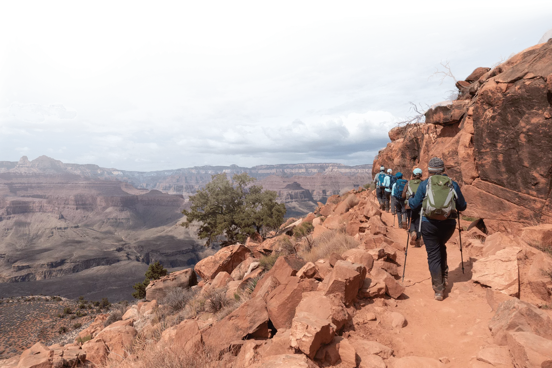
wildland Wires
Sign up to receive our exclusive Wildland Wire emails and stay up to date with Wildland Trekking's promotions, discounts, contests, outdoor tips and tricks, trip reports and more!

25 Incredible Hiking Trails Around the World
From a 4-hour slot canyon adventure to journeys that take weeks, these are beautiful bucket-list trails for hikers.
What makes a hike great? For some, it's a route with incomparable views. For others, it's a trail so exciting that you'll book a plane ticket to experience it, or one so tough that you earn bragging rights by conquering it. Backpacking trips , walking tours , hut-to-hut hikes — there are myriad ways to hit the trail.
To inspire your next excursion, we've curated a list of incredible trails around the world — bucket-list journeys for outdoor enthusiasts. Some can be completed in a few hours, if you hustle, but many are longer and perhaps best suited for intermediate and expert hikers. They're also geographically diverse, bringing adventurers to some of the most spectacular corners of the planet. Use this list as inspiration, then dig into trip details once you've decided what hike you'll tackle next, including permit requirements and training needs.
Related: The Ultimate Hiking Trip Packing List
West Coast Trail, Canada
This iconic coastal trail on Vancouver Island’s west coast offers stunning ocean views and rugged, challenging terrain. Backpacking this beauty over multiple days is a good plan, and you can ponder its history as you go — it was initially established as a life-saving path in 1907, to aid in the rescue of survivors shipwrecked along the island’s treacherous coast.
Tour du Mont Blanc, France, Italy, and Switzerland
This trail circles Mont Blanc — the highest peak in the Alps — and passes through three countries (France, Italy, and Switzerland), offering ample opportunity to taste regional cuisine. If you like cheese as much as you like walking, this 7 to 10 day multicultural circuit is for you.
Laugavegur Trail, Iceland
A journey through these rhyolite mountains (ultra-colorful landforms) will bring you to steaming hot springs, glacial rivers, and swaths of black sand. Laugavegur Trail traverses 34 miles of Iceland’s southern highlands, an it's incredible in its otherworldliness.
Overland Track, Australia
On this trail, you'll hike through Tasmania’s pristine wilderness, complete with craggy peaks, glacial lakes, and ancient rainforests. Be prepared for challenging terrain (think stairs and scrambles), rapidly changing weather conditions, and potential encounters with wildlife, from possums and currawongs (a large black bird with a musical call) to spotted marsupials called quolls. The trail is about 45 miles long, give or take a few (depending on where you begin and end).
Kumano Kodo, Japan
One of only two pilgrimage routes in the world designated a UNESCO World Heritage Site (the other is the Camino de Santiago in Spain), this series of ancient trails takes you on a tour of the mountains and forests of the Kii Peninsula, with stops at time-honored shrines and temples along the way. To do the entire route usually takes three days.
Camino de Santiago, Spain
Camino de Santiago is a collection of ancient pilgrimage routes that converge at the Santiago de Compostela Cathedral in northwest Spain, the burial site of St. James. Some pilgrims carry a scallop shell during the journey, as its lines symbolize their own trek, and those of other pilgrims around the world. This is another long-distance adventure — to do the approximately 500-mile route in full may take 30 days or more.
Lebanon Mountain Trail, Lebanon
The only long-distance trail in Lebanon, Lebanon Mountain Trail takes hikers through 76 high-altitude towns and villages and across remarkable mountains. It is 293 miles long, stretching from north Lebanon toward its southern border.
Pacific Crest Trail, USA
The Pacific Crest Trail is one of the world’s most famous thru-hikes. It starts at the US-Mexico border in California, and ends at the US-Canada border in Washington. That means the trail brings hikers through California, Oregon, and Washington — it takes five to six months to complete it. Highlights along the way include Crater Lake , the Sierra Nevada Mountains , and the Cascade Range.
Mount Kilimanjaro Trek, Tanzania
This 7-day trek takes hikers to the top of Mount Kilimanjaro , the highest peak in Africa. You’ll cross through five different ecological zones and climates, ranging from lush rainforests to arctic ice fields. The summit is as mentally demanding as it is rewarding.
Trek to Petra, Jordan
Hikers journey through ancient history and mesmerizing desert landscapes on this trek, all before landing at the awe-inspiring Treasury, also known as Al-Khazneh. This magnificent temple carved into a sandstone cliff dates back to the 1st century AD.
Great Himalaya Trail, Nepal
This trail network follows the Himalayan range and showcases stunning mountain landscapes, as well as the diverse cultures of the region's remote villages. It stretches over 2,800 miles across the country, traversing subtropical forests, lush valleys, alpine meadows, and rugged mountain passes.
Simien Mountains Trek, Ethiopia
The Simien Mountains Trek takes you right through Ethiopia’s Simien Mountains National Park, which is a UNESCO World Heritage Site. Expect drama, including high-altitude plateaus, deep valleys, and incredible (and copious) wildlife, such as gelada baboons and Ethiopian wolves.
Appalachian Trail, USA
One of the longest hiking-only footpaths in the world, the Appalachian Trail begins in Maine and passes through 14 states. At the trail’s southern terminus in Georgia, you will find a spooky celebration: a tree strung up with the boots of hikers who have completed the nearly 2,200-mile trek.
Lycian Way, Turkey
This long-distance trail follows the coast of Turkey’s Lycia region, offering stunning views of the Mediterranean Sea, rugged mountains, and ancient ruins. You can complete the route in roughly three weeks, or opt to do shorter segments. Along the way, swim in crystal-clear waters and visit charming towns.
The Narrows, USA
This slot canyon hike in Zion National Park is unusual in that you spend most of your time trekking through the waters of the Virgin River. You can attack the Narrows from the bottom up or from the top down. The former is the popular choice, since it takes 4 to 8 hours or so. If you hike it from the top down, expect a 10- to 13-hour journey.
Trolltunga Hike, Norway
One of the best ways to see the Norwegian fjords is via this challenging and scenic trek that leads to the eponymous Trolltunga (which translates to the "troll’s tongue"), a picturesque, jutting rock formation high above sea level.
Half Dome, USA
If you’re prone to height-induced vertigo, you may want to think twice before hiking Half Dome in California’s Yosemite National Park. To conquer the wildly steep slope here, hikers keep a tight grip on the granite trail’s cable system. This bucket-list adventure is considered one of the best hikes in America , and it's a bit of a white whale for some hikers — you need a permit to climb the dome, and they're distributed by lottery .
Kalalau Trail, USA
Located on the Hawaiian island of Kauai, this 22-mile coastal hike also requires a permit . If you can secure one, you'll traverse five valleys on your way to Kalalau Beach. One of the most challenging treks in the state, Kalalau Trail's steep and narrow paths give way to stunning ocean and cliff views.
Fitz Roy Trek, Argentina
Situated within Los Glacieres National Park on the shared border of Argentina and Chile, this challenging 15-mile trail does not actually lead to the summit of Mount Fitz Roy. Instead, it brings you to an unbelievable view of the glacier-covered mountain, as well as the turquoise-colored Laguna de los Tres at its base.
Inca Trail, Peru
The historic Andes mountains trek to Machu Picchu usually takes around four days, culminating at the renowned Incan citadel ruins. Although the classic Inca Trail is the most popular, numerous tour operators now offer additional routes and trip durations. The Salkantay trek, for example, provides a more scenic experience, bringing you past glaciers, natural springs, and through the jungle.
Angels Landing Trail, USA
The hike to Angel's Landing consists of two parts: a series of unrelenting switchbacks, then a stomach-in-your-throat cable climb. The final hair-raising stretch offers a remarkable payoff, as the views of the sandstone cliffs and valley below are literally breathtaking — you’ll be scared to breathe lest you make one wrong move near the landing's edge. This is without a doubt one of the best hikes in Zion National Park .
Ben Nevis Summit Trail, Scotland
One of three treks that make up the National Three Peaks Challenge (climbing the three highest peaks of Scotland, England, and Wales, often within 24 hours), the Ben Nevis Summit Trail will take you to the top of the U.K.'s highest peak. Whether you take the Mountain Track (affectionately known as the Tourist Track) or the Carn Mor Dearg Arête (usually reserved for more experienced summiteers), a gorgeous panorama of the Scottish Highlands awaits.
Milford Track, New Zealand
Located in South Island's Fiordland National Park, Milford Track is about 33 miles long, and it treats hikers to beautiful views of snow-capped mountain peaks, pristine rainforests, and even the highest waterfall in New Zealand. Well-maintained trails, conveniently placed huts, and a limit on the number of hikers per day make this a pretty comfortable long-distance trek.
Puez-Odle Altopiano, Italy
Here’s a cheat: Take a cable car to elevation, and then start out on the Puez-Odle Altopiano, a hike along the ridges of Italy’s Dolomite mountains. Prepare for panoramic views of the surrounding rocky peaks, plus lush green valleys filled with wildflowers. Go in the summer months if you're especially keen on seeing colorful blooms.
Grand Canyon Rim-to-Rim, USA
If you’re not content to passively view the Grand Canyon from one side, why not cross it on foot? Doing so lets you experience the unique geological formations and diverse ecosystem of the Grand Canyon up close. It's possible to complete the 24-mile trek in one day, but when there’s an option to stay overnight in the belly of one of the world’s most spectacular natural wonders, you take it.
For more Travel & Leisure news, make sure to sign up for our newsletter!
Read the original article on Travel & Leisure .

Adventures in Laugavegur

All-Inclusive Hut-to-Hut Hiking Tour of the Laugavegur Trail

Hike the Laugavegur Trail and the South Coast of Iceland

Women’s Laugavegur Hiking Adventure

All-Women’s Classic Laugavegur Trail Hike

Supported Tent-Based Hike Along the Laugavegur Trail

4-Day Laugavegur Trail Tent-Based Tour

Hiking the Classic Laugavegur Trail

Thorsmork and Beyond Hiking Tour

Women’s Thorsmork Hiking Tour

Choose a currency
- USD - $ US Dollar
- EUR - € Euro
- AUD - AU$ Australian Dollar
- CAD - CA$ Canadian Dollar
- GBP - £ British Pound Sterling
- CHF - CHF Swiss Franc
- JPY - ¥ Japanese Yen
- SGD - S$ Singapore Dollar
- HKD - HK$ Hong Kong Dollar
- DKK - Dkr Danish Krone
- NOK - Nkr Norwegian Krone
- SEK - Skr Swedish Krona
Iceland is open for travel. Check volcano updates here
- Language/Currency EN Language EN English CN Chinese $ USD ISK ISK $ USD € EUR CA$ CAD £ GBP

Complete Guide To Hiking Laugavegur Trail In Iceland
10 Reasons To Hike Laugavegur + Map & Tips
- What is Laugavegur Trail?
- How Do You Get There?
How Long is the Laugavegur Trail?
- 10 Reasons To Do Laugavegur
Laugavegur Trail Map
- 4 Day Itinerary
- When is the Laugavegur Open?
- What to Pack
- Where to Stay
- Hiking Guided vs. Solo
Related Tours
Related blog posts.
- Newsletter Sign Up

If you love to travel, you may know that the most beautiful places are often not easy to find. You have to step out of your comfort zone to discover them. But once you do, the reward is more than just great views. That’s the Laugavegur hike, which is considered one of the best in the world.
The Laugavegur Trail , also sometimes called “Iceland’s Hot Spring Route,” is a world-famous hike through some of Iceland’s most beautiful and fascinating landscapes. Tours to this trail are among our most popular during the summer season .
Below, we’ll detail what makes this journey so special!
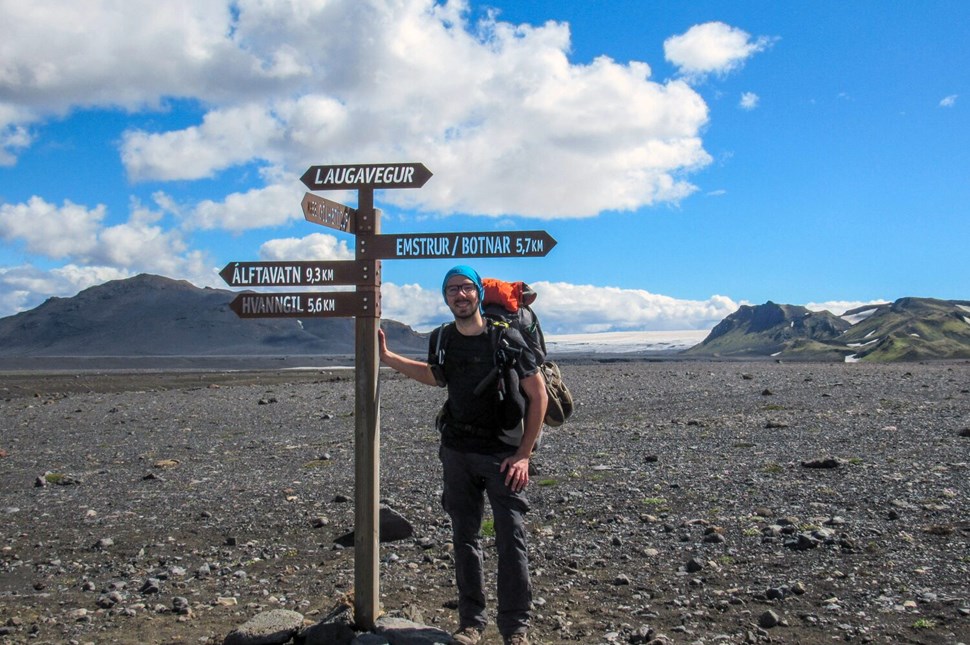
The Laugavegur Trail is an adventure of a lifetime packed into just a few days.
What is the Laugavegur Iceland Trail?
The Laugavegur Trail in Iceland is a famous 55-kilometer (34-mile) trek from Landmannalaugar to Þórsmörk. Known for its stunning variety of landscapes, National Geographic ranks it as one of the world's top trails . You'll see everything from colorful mountains and hot springs to black deserts and green valleys. Starting in the vibrant Landmannalaugar and ending in the glacier-surrounded Þórsmörk (‘Thor’s valley’), it truly shows Iceland's wild and unique nature.
Where is Laugavegur Located, and How Do You Get There?
The hike's starting point, Landmannalaugar, is 182 kilometers (113 miles) away from Reykjavik. You can only get there on mountain roads and only during the summer. If you are wondering how to get to Laugavegur trail, do not worry because it is quite straightforward. From Reykjavik and back, you can catch a bus that's ready for rough roads, or if you're up for it, rent a 4x4 and drive yourself. Remember to book your bus spot in advance, as seats fill up quickly!
The trail is 34 miles or 55 kilometers long. Most people take 4 to 5 days to hike it, but it's all about your pace. Speedy hikers can conquer it in 3 days, while those who like to soak in every view might stretch it to 6 days.
Each part of the trail has its own feel and challenges. The first part, climbing up from Landmannalaugar, can be tough, but it rewards you with amazing views. As you move along the trail, the scenery changes dramatically, from wide-open black sand areas to the glacial mountains of Þórsmörk.
We will talk about the elevation and itinerary in more detail below.
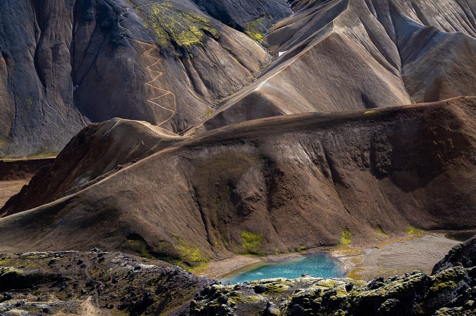
The Laugavegur Trail lasts for 55 km from rugged Landmannalaugar to glacial Þórsmörk, and takes 3-6 days.
10 Reasons To Do Laugavegur Hike
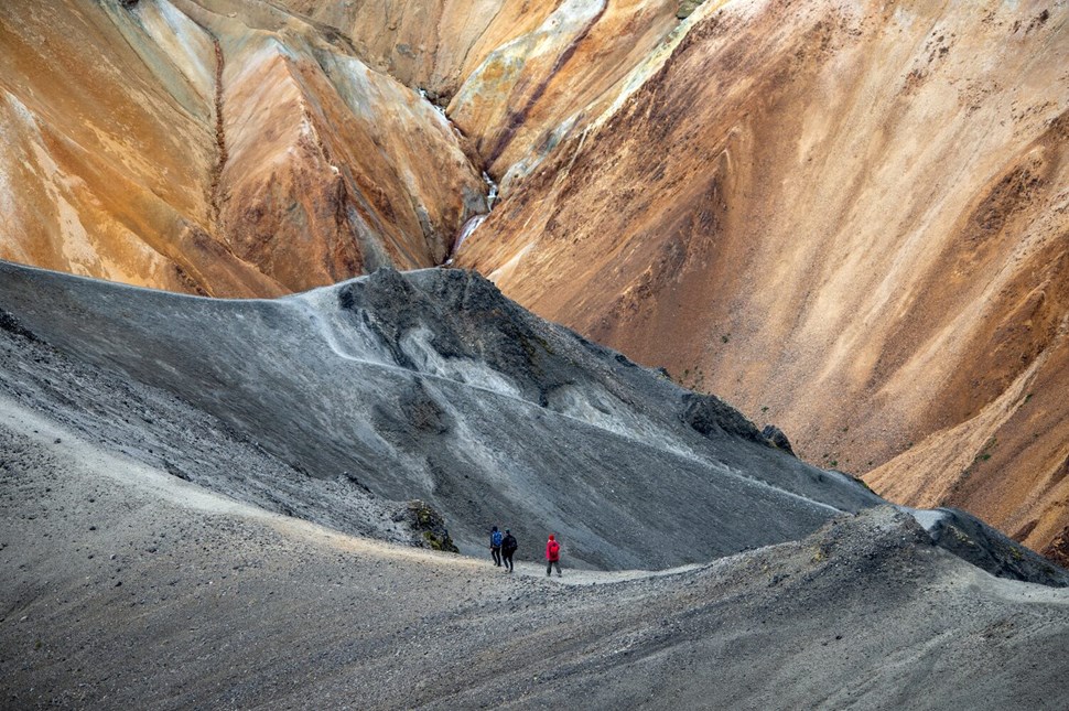
The Laugavegur Trail is a top-rated hiking route known for its stunning scenery and convenient huts and camping facilities.
1. Discover The Unique Icelandic Highlands
The uninhabited wilderness in the interior of Iceland is called the Icelandic Highlands . Endless black deserts, rough volcanic mountain ranges, glistening glaciers, lush geothermal areas. These are just a few faces of the mysterious Highlands that you can see on this trail.
Find out more things to see on the Laugavegur trail!
2. Walk Through Fire And Ice
As you hike, you will encounter rough fields of solid lava that stretch for tens of kilometers. These fields are covered with thick green moss and have snow patches here and there. You will see steam rising from the ground and snowy peaks sparkling in the distance. The striking combination of fire and ice will surround you in all directions!
3. Bathe In A Natural Hot Spring
Some of Iceland’s most active volcanoes are close to this trail. The word ‘Laugavegur’ translates as the ‘Hot Spring Route,’ which refers to the impressive geothermal activity in the area. There is a natural hot spring at Landmannalaugar , just where the trail starts. Bathing in this naturally warm water in the middle of nowhere is the experience of a lifetime!
4. Meet New Friends From All Over The World
On a guided tour (or even if you go solo), you will travel with like-minded adventurers from all over the world. Together, you might step out of your comfort zone, share in the challenges and the joy, and develop strong bonds. This is where lifelong experiences are made.
5. Meet Yourself On The Way
The Laugavegur hiking trail is the Arctic version of Camino de Santiago. Hikers on this trail discover that walking in the wilderness, facing the elements, and admiring indescribable natural sights…all lead to a higher level of thinking, another state of mind.
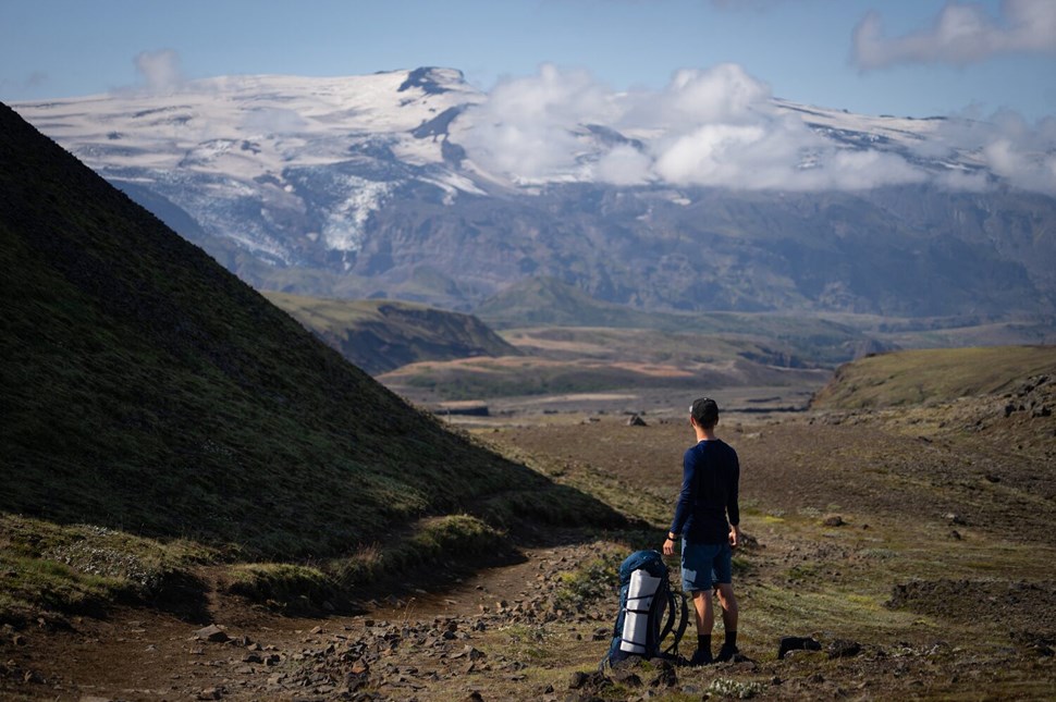
The Laugavegur hiking trail is the Arctic version of Camino de Santiago.
6. Challenge Yourself And Enjoy The Benefits
The Laugavegur hiking trail can be challenging both physically and mentally. Making it your personal mission, you’ll discover more about yourself and improve your strength, resilience, and self-awareness.
7. Have A Compelling Story To Tell
This is a bucket list, a once-in-a-lifetime experience you’ll want to share, whether on your blog, for your grandchildren, on a first date, or around the campfire on your next adventure.
8. Ideal for Solo Travelers
Iceland is one of the safest countries in the world. Its other amazing benefits are that summer nights are completely bright and no dangerous animals live there. This is the main reason why it is one of the top destinations for solo travelers . Venturing into new territory still takes courage, so this hike is a perfect opportunity to test your mettle in a safe environment in Iceland.
9. You Can Continue Towards Glaciers And Volcanoes
One of the most famous volcanic eruptions occurred in 2010 when the Eyjafjallajökull volcano became world-famous. Its two new craters, Magni and Móði, are located on the Fimmvörðuháls trail , which starts in Þórsmörk , where the Laugavegur ends. The Fimmvörðuháls trail leads between three glaciers and two volcanoes and ends at the stunning Skógafoss waterfall . Connecting the two trails, Laugavegur and Fimmvörðuháls, will give you 5 or 6 days of pure adventures!
10. Hike One Of The Best Hiking Trails In The World
Earlier, we mentioned that National Geographic chose the Laugavegur and Fimmvörðuháls trails as one of the world's top 20 best hiking trails. They are definitely the most beautiful hiking trails in Iceland !
4 Day Itinerary of the Laugavegur Trail
About elevation on the laugavegur trail.
Elevation plays a big role in this hike, especially on the first day. Starting at 1,706 feet (520 meters), you'll ascend to 3,474 feet (1,060 meters) and then descend to below 2,000 feet (610 meters) at Álftavatn Lake.
The elevation remains fairly consistent until the final day's descent to under 1,000 feet (305 meters). For those extending their hike beyond Thórsmörk to Skógar via Fimmvörðuháls, prepare for a steep climb up to 3,504 feet (1,070 meters) and the descent after that, all within two additional days of hiking.
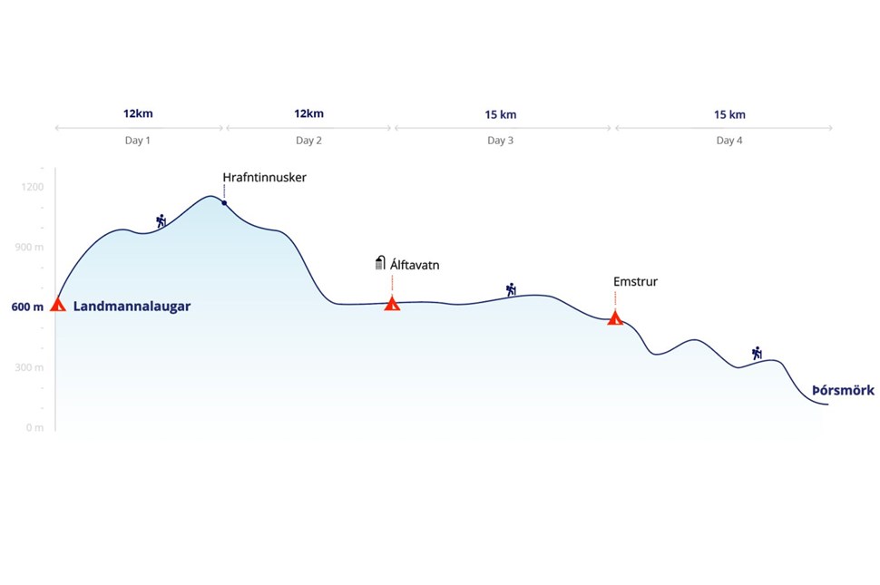
Laugavegur trail map for 4-day trek.
Day 1: Landmannalaugar to Hrafntinnusker (12 km / 7.5 mi)
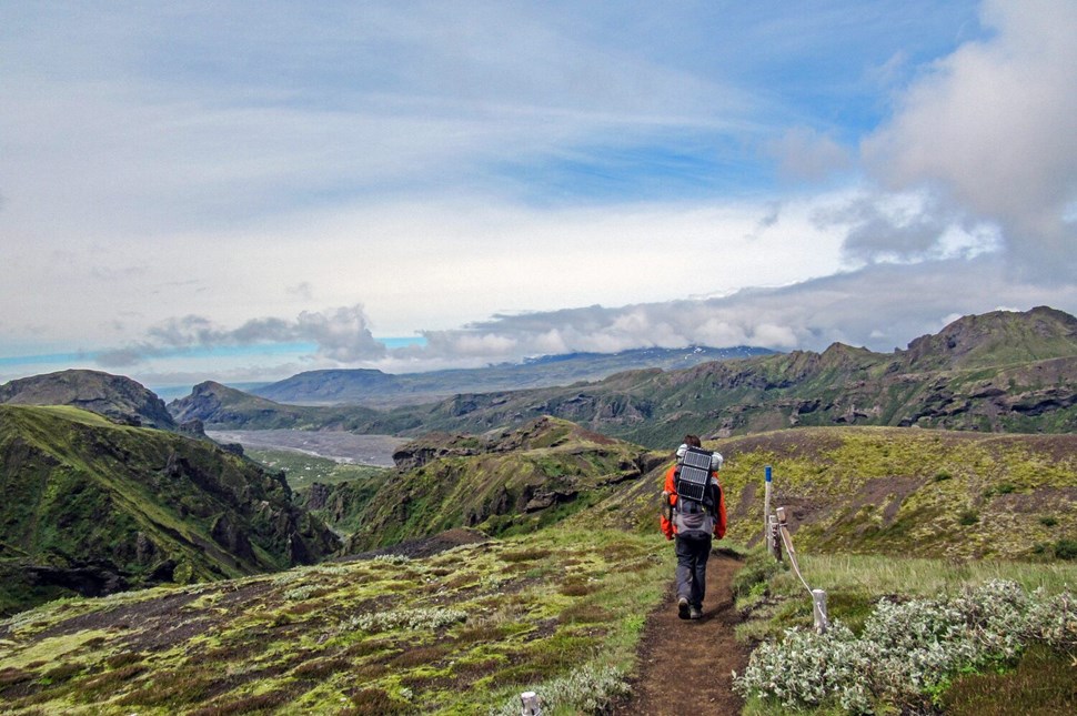
Start your Laugavegur trek in Reykjavik and journey to Landmannalaugar, where a scenic hike through colorful fields awaits on the first day.
On the first day of the Laugavegur trek, you'll go on a scenic drive from Reykjavik to Landmannalaugar, which offers early views of the impressive Hekla volcano . Once you reach Landmannalaugar, you'll immediately notice the unique hill peaks in red, green, and caramel shades.
Your hike will start with an uphill walk through the Laugahraun lava field. This area stands out with its black lava rocks and the bright green vegetation and mountains that surround it. During this section, you'll come across Brennisteinsalda, also known as the "Sulphur Wave." It's easy to spot this mountain because of its yellow sulfur deposits, red iron, and green moss set against a blue and black lava background.
As you keep going, you will come across the Graenagil Gorge , a stunning green canyon, and the Storihver hot spring. If you have enough time, it is recommended to take a side trek up the Blahnjukur volcano for panoramic views.
By the end of the day, you get to climb up about 1540 feet (which is around 470 meters), and it usually takes about 4 hours of walking to complete the hike. Although it can be a bit tough, the experience is totally worth it!
The day ends at the first mountain hut in Landmannalaugar. The hut at Hrafntinnusker is set in a remote location with black volcanic slopes and snow-covered peaks. You will be resting at an elevation of 1110 meters, so the views are absolutely stunning!
Day 2: Hrafntinnusker to Álftavatn (12 km / 7.5 mi)
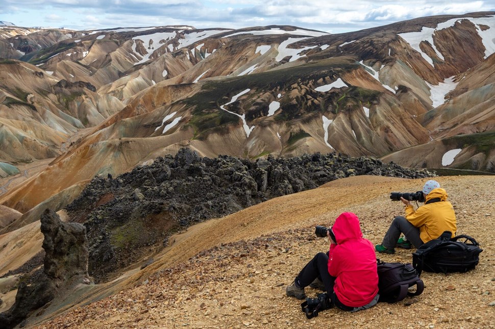
On day two, hike 12 kilometers from Hrafntinnusker to Álftavatn, descending from the high-altitude hut, and conquer the basalt hills beneath Reykjafjoll Mountain.
Today, on the second day of your hike, you'll cover 12 kilometers (7.5 miles) as you move from Hrafntinnusker to Álftavatn, down from the high-altitude hut. Although this section may have some challenges, it's nothing you can't handle as you walk through the basalt hills beneath Reykjafjoll Mountain.
The area around Kaldaklofsfjöll Peak is mostly flat, but you must be careful because of hidden snow bridges over deep gaps. The walk up to the Jökultungur plateau is easy and steady. When you reach the top, you'll be treated to wide views of the area. On clear days, you can even see parts of the Tindfjallajökull, Eyjafjallajökull, and Mýrdalsjökull glaciers!
Coming down from Jökultungur, the path takes you into the Álftavatn Valley . Here, you'll see Lake Álftavatn , surrounded by volcanic mountains and greenery. The way down is a bit rocky at first, but then it becomes an easy walk across a valley floor covered with soft moss and grass.
The highlight of the day is crossing the Grashagakvísl river . You'll pass through chilly but very clean waters from the glacier. From there, the way to the hit is quite easy. When you get to the Álftavatn hut and campsite, you'll have a nice place to rest for the night. The campsite has hot showers to freshen up and relax.
Day 3: Álftavatn to Emstrur (15 km / 9.5 mi)
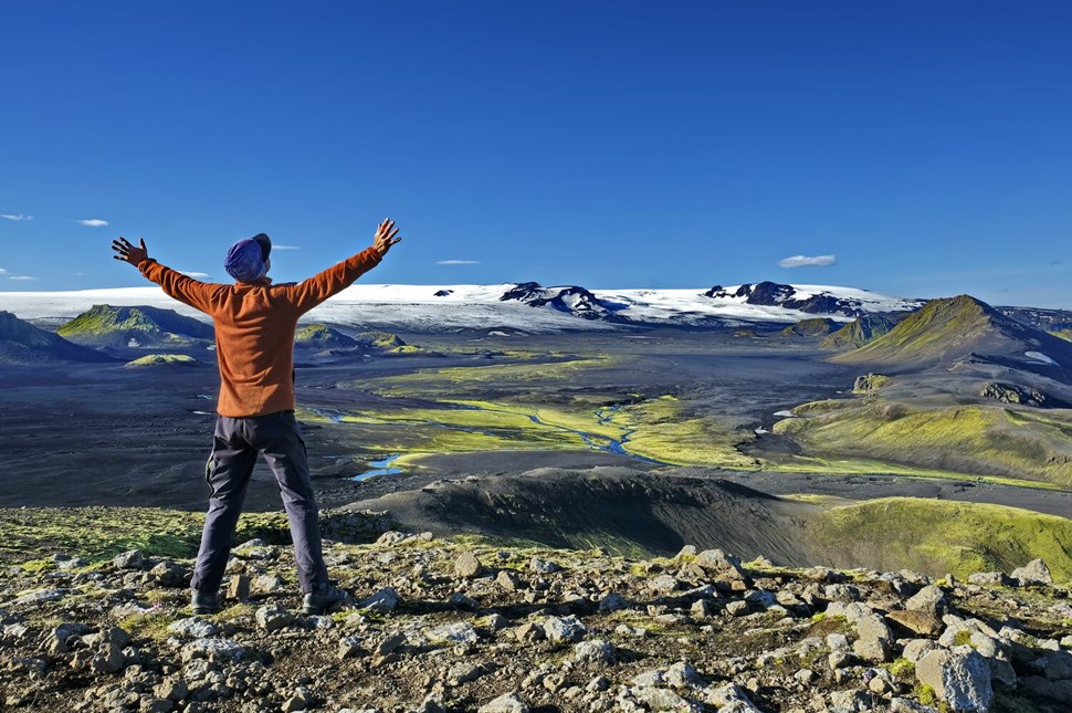
On day three, hike 15 kilometers from Álftavatn to Emstrur, experiencing Iceland's volcanic terrain and Markarfljótsgljúfur Canyon, ending at Botnar Huts.
On day three, you'll hike from Álftavatn to Emstrur, covering a distance of 15 kilometers (9.5 miles) over about 6 to 7 hours. The day starts with a bit of a challenge: crossing a stream and possibly more as you go.
Your path leads into the Mælifellssandur area , a huge stretch of volcanic desert. The scenery here is mostly black sand, which is a big change from the green areas you saw before. As you walk through this region, you'll go by two interesting peaks: Mt. Stórasúla , with its green slopes, and Hattafell, known for its flat top. This part of the trek gives you a special look at Iceland's volcanic terrain.
On a clear day, the hike gives you amazing views of the Mýrdalsjökull and Eyjafjallajökull glaciers. These glaciers are important for both their geology and history. Eyjafjallajökull is especially well-known for its 2010 eruption that caused a lot of trouble for air travel. Hidden under Mýrdalsjökull is Katla , one of Iceland's most active volcanoes.
As you get closer to Emstrur, the path leads you to the Markarfljótsgljúfur Canyon , which is technically a detour but totally worth it. This impressive canyon, carved 200 meters deep by the Markarfljót River, shows the incredible power of Iceland's natural forces.
Your day's hike ends in the Emstrur region, where you'll stay for the night in Botnar Huts. This spot is like a green shelter in the middle of black volcanic sands.
Day 4: Emstrur to Þórsmörk (15 km / 9.5 mi)
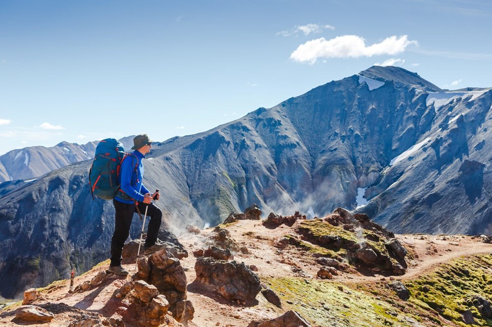
On the last day, hike 15 kilometers from Emstrur to Þórsmörk, descending 300 meters, with highlights including river crossings and a lush green valley.
On the last day of your trek, you'll travel 15 kilometers (9.5 miles) from Emstrur to Þórsmörk. Walking this distance takes about 6 to 7 hours, and you'll go down 300 meters (985 feet). The day starts with going down to the Syðri-Emstruá River. You'll cross a footbridge over a deep canyon, witnessing a powerful stream below.
Next, the trail takes you up to a plateau above the canyon. If you go to the edge, you'll see where the Syðri-Emstruá and Markarfljót rivers meet. This amazing view is created by water from the Mýrdalsjökull and Eyjafjallajökull glaciers. The path then goes south through the Almenningar hills , turning greener as you go. You'll cross two small ravines, Slyppugil and Bjórgil , each with a stream of drinkable water.
Close to the end of the day, you'll climb up to the top of Kápa, the last steep slope on the trail, and then cross the Þröngá River. This part of the trail is rocky but not too hard. When you reach Þórsmörk , or 'Thor’s Valley,' you'll be in the greenest part of your journey. The valley is full of woods, Hamraskógar , where you can see small trees and a ground covered in wild herbs and flowers. A rare sight in Iceland!
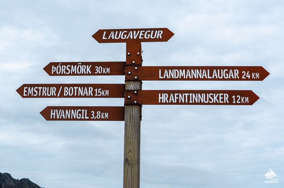
On the last day of your trek, you'll travel 15 kilometers (9.5 miles) from Emstrur to Þórsmörk.
When you reach Þórsmörk, you have a few accommodation options, including the hut and campsite at Langidalur. For those continuing on the Fimmvörðuháls trail, the small Baldvinsskáli hut is about 2.5 miles along the route. Alternatively, there are Volcano Huts with a sauna, a hot pool, and a restaurant for a more luxurious end to the trek.
That’s the end of the trail in Þórsmörk, which is a big achievement! With its special climate and thick birch forest, this valley is very different from the landscapes you've seen in the last few days. Take some time to celebrate your accomplishment in this beautiful place. Then, on your way back to Reykjavik, don't miss stopping at the stunning Seljalandsfoss waterfall . It's the perfect location to wrap up your extraordinary trip!
Optional extension: Fimmvörðuháls Trail
If you want to add more adventure to your Laugavegur Trail hike, try the Fimmvörðuháls Trail . It's an extra 25 km (15.5 miles) and takes about 1-2 days. The trail starts at Thórsmörk, the end of the Laugavegur Trail, and ends in Skógar on Iceland's south coast. You'll climb up to 1,070 meters (3,504 feet) at the Fimmvörðuháls pass.
The path goes along the southern side of the Eyjafjallajökull volcano through active volcanic areas. It's tougher than the main trail, with steep, rocky climbs. A big highlight is the Skógafoss Waterfall , a famous Icelandic sight. Depending on how fast you hike, you can stay in mountain huts or camp.
When is the Laugavegur Trail Open?
Thinking about hitting the Laugavegur Trail? It's typically open from mid-June to early September . These dates can vary slightly, as they're at the mercy of Iceland's unpredictable weather. Snow and trail conditions are the big deciders here, so checking with local authorities for the exact opening dates each year is wise. This way, you're all set for your trek without any surprises.
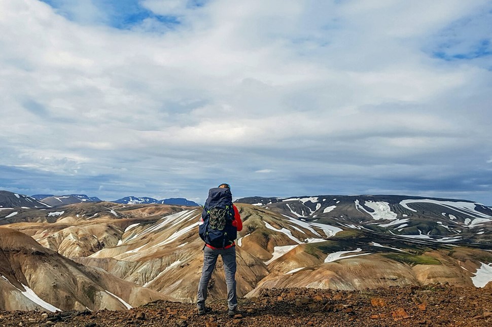
Planning to hike the Laugavegur Trail? It's usually accessible from mid-June to early September.
Best Time of the Year to Go
The prime time to explore the Laugavegur Trail is between late June and August . This period offers the best of the Icelandic summer – milder weather and extended daylight hours. July and August are particularly popular for their warmer temperatures and vibrant landscapes. If you prefer a quieter trail, consider late June or early September, but be prepared for more unstable weather conditions.
What to Pack for the Laugavegur Trail
Packing right is key for the Laugavegur Trail. Here’s what you should bring:
- Weather-Ready Clothing. Pack waterproof and windproof jackets and pants, along with thermal layers and moisture-wicking undergarments.
- Durable Hiking Boots . Ensure they’re waterproof and well-worn.
- Reliable Backpack. Choose a comfortable backpack equipped with a rain cover.
- Sleeping Bag. Necessary for a good night's sleep, whether in huts or tents.
- Food and Water. Bring enough supplies, including snacks and a refillable water bottle.
- Navigation Tools. A map , compass, and GPS device are crucial, especially in foggy conditions.
- First Aid Kit. Include basic supplies and any personal medications.
- Camping Essentials. Bring a sturdy tent, sleeping pad, and cooking gear if you're camping.
For more details, check out this full expert packing list !
Where to Stay (Laugavegur Trail Huts and Tents)
The Laugavegur Trail offers huts managed by the Icelandic Touring Association (FÍ) for basic accommodations.
The Laugavegur Trail offers both huts and camping options . The huts, managed by the Icelandic Touring Association (FÍ), provide basic accommodations and are located at key points like Landmannalaugar, Hrafntinnusker, Álftavatn, and more. Book these in advance, especially during peak season.
For campers, there are special spots near each hut to set up your tent, and you can use basic facilities there. Camping lets you plan as you go, but you'll need to carry more things with you.
The cost of camping is between 2,200 ISK and 2,300 ISK while staying in huts is around 13,000 kr. Campers can't use the hut kitchens but can access bathrooms, drinking water, and outdoor tables. Showers cost 900 ISK for 5 minutes, but none are at Hrafntinnusker or Baldvinsskali.
Note that wild camping along the Laugavegur Trail is not permitted.
Hiking the Laugavegur Trail: Guided Tour vs. Solo
When planning your Laugavegur Trail trip, one of the key decisions is whether to go on this journey solo or join a guided tour. While both options have their pluses, there are a few important reasons to consider a guided tour.
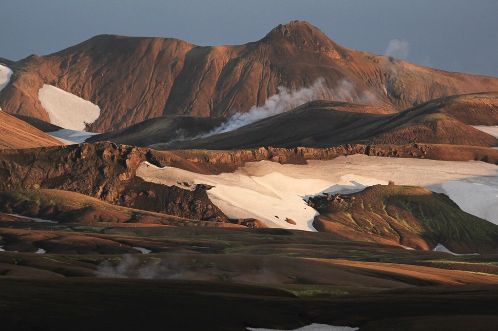
- Guides help to keep your trip eco-friendly to preserve the trail for future hikers.
Reasons to Choose a Guided Tour
- Hiking and trekking guides are deeply knowledgeable about Iceland's landscapes and culture.
- Trained guides know how to behave in unpredictable weather and tough terrain, ensuring your safety .
- Enjoy a stress-free hike as we handle all logistics, from accommodation to meal planning.
- Being part of a group can be reassuring . You'll have companions to share the experience with, which can be comforting if you're new to hiking.
- A guided tour is a great chance to learn hiking skills and techniques. Guides can offer tips on everything from proper hiking form to efficient packing.
Hiking Solo
Hiking the Laugavegur Trail solo is possible and can be a rewarding experience for well-prepared, experienced hikers. It offers flexibility and a personal connection with nature. However, it requires a solid background in preparation , including route planning, accommodation booking, and readiness for emergency situations.
Guided Tours
Whether you're an experienced hiker or new to long hikes, our guided tours are a great way to conquer the Laugavegur Trail. We take care of everything – from expert tips to safety and the trip details. You can focus on walking and enjoy the trail's beauty, knowing you're in good hands.
Browse the selection of Laugavegur Trail trekking tours .
Laugavegur Trail Iceland FAQs
How long does it take to hike the laugavegur trail.
Most hikers complete the Laugavegur Trail without the Fimmvörðuháls extension in 4 to 5 days . The trail is approximately 55 kilometers (34 miles) long. The length of the trip can vary based on your pace, the weather, and how long you stay at each place.
How difficult is the Laugavegur trail?
The Laugavegur Trail is considered moderately difficult . It involves varied terrain, like steep ascents and descents, river crossings, and potentially challenging weather conditions. Hikers need to be in good physical shape and have some experience in long-distance trekking.
Can you hike the Laugavegur trail without a guide?
If you're an experienced hiker who is comfortable with changing weather conditions and finding your way, you can hike the Laugavegur Trail without a guide. The trail is popular and marked well, so it's easy to follow. However, if you're less experienced, you will need the knowledge and safety that a guided tour provides.
How far are the huts on the Laugavegur trail?
The huts along the Laugavegur Trail are spaced out, typically a day's hike apart. The average distance between huts is about 12 kilometers (7.5 miles), which can vary.
How many people hike the Laugavegur trail?
The Laugavegur Trail is one of Iceland's most popular hiking trails. Between 75,000 and 100,000 people trek it each year, especially during the peak months of July and August.
When does the Laugavegur Trail open?
The Laugavegur Trail typically opens from mid-June to early September . These dates change based on weather conditions, particularly snow levels and trail safety. It's important to check current conditions and opening dates before planning your hike.
Should I camp or use the Laugavegur hiking trail huts?
Choose between camping and huts based on your preference for comfort and adventure . Huts offer more comfort but require advance booking and are costly. Camping is flexible but means carrying more gear.
What should I pack for the Laugavegur trail?
Pack lightweight, weather-resistant clothing, sturdy hiking boots, a sleeping bag, and a reliable backpack. Don't forget essentials like food, water, navigation tools, and a first aid kit. Check out our full Laugavegur packing guide for a detailed packing list.
Best Seller
Laugavegur & Fimmvörðuháls Trek - 6 Day Tour
Laugavegur 4 day Hut to Hut Trekking tour
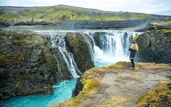
Landmannalaugar Safari Super Jeep Tour
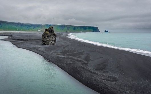
How to Spend 6 Days in Iceland
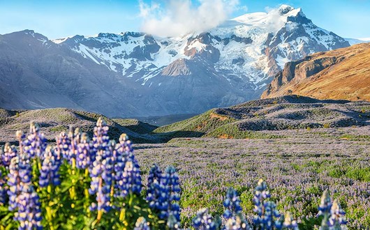
Iceland in June
Swimming Pool Etiquette in Iceland
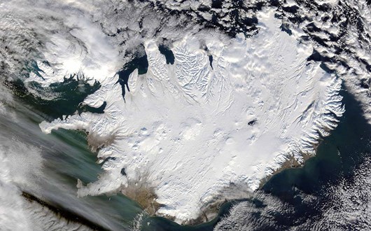
What to Wear in Iceland
Puffins in Iceland - Everything You Need to Know

Icelandic food
8 Day Laugavegur Trek Tour
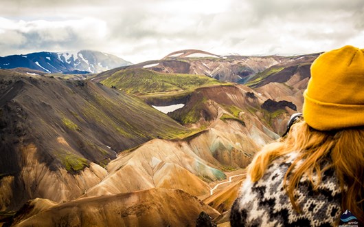
4-Day Trekking Tour in Laugavegur
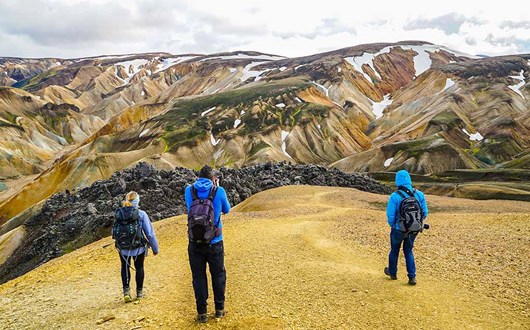
Landmannalaugar Hiking Day Tour
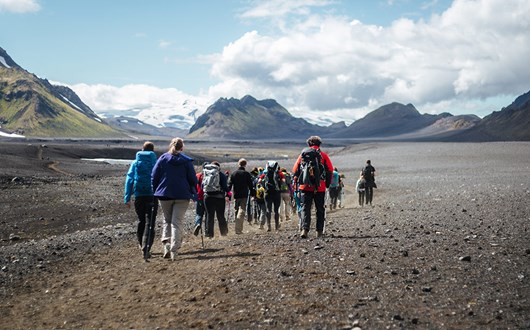
Laugavegur trail packing list
How & what to pack for laugavegur trail in iceland.
An expert guide to packing for the Laugavegur trail in Iceland. Dos and don'ts for gear and clothes for a successful trekking trip in Iceland.
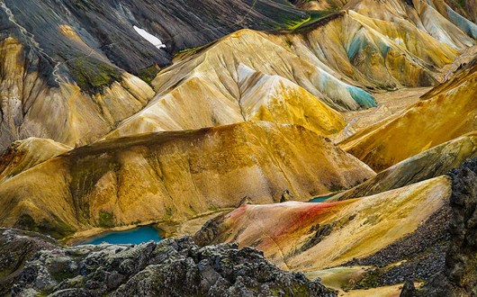
Landmannalaugar: a Geothermal Paradise in the Icelandic Highlands
Landmannalaugar is a stunning location in the Icelandic highlands. Its geothermal activity makes the place one of the most colorful hiking options in Iceland. This vast uninhabitable area that spans most of the center of Iceland is a true t...
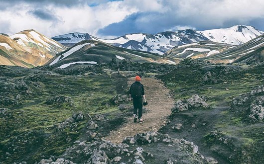
Iceland’s Top 16 Hiking Trails
Complete guide to the best hikes in iceland + tips & maps.
Looking to explore Iceland's incredible landscapes? Discover our expert guide to the best hikes in Iceland with maps to get you started!
Share our passion for Iceland, get top travel stories & special offers to your inbox

IMAGES
VIDEO
COMMENTS
A 4-day Laugavegur trekking tour with staying in mountain huts or camping in tents. Landmannalaugar to Porsmork hike with vistas like you wouldn't believe and a real connection with nature as you spend nights in tents. A 6-day Laugavegur and Fimmvörðuháls with camping or mountain huts. The 55-kilometer-long Laugavegur trail connects ...
Laugavegur trail begins with Landmannalaugar in the Southern Highlands of Iceland, a region famous for steaming hot springs. The tour will take you through distinct landscapes, such as yellow rhyolite mountains, black sand deserts, and fields covered in chunks of obsidian. During most tours, your final destination will be the lush Thorsmork ...
Lying on the constantly active geologic border between North America and Europe, Iceland is a land of unusual variety and contrasts. Laugavegur Trail captures the best of its geology—from vibrant green moss and jet black sand deserts, snow and steamy springs, pink flowers emerging from the seemingly barren land, to turquoise lakes and lava ...
Description. The 'Laugavegur Classic' portered trek is Iceland's most iconic trek and for good reason! This hike will take you through a wide variety of landscapes from Landmannalaugar to Thorsmork. On the Laugavegur Trek we will experience rainbow-colored mountains, a variety of fantastic geothermal features, obsidian lava fields ...
About Tour. Iceland is known for hosting the most diverse landscapes on Earth. The Laugavegur Trail opens up otherworldly landscapes, where you'll witness all kinds of weather conditions and discover unique geological formations. Cross the 34 miles (55km) from Landmannalaugar to Thorsmork, where you can choose to continue to Fimmvörðuháls ...
The Laugavegur trail is the most famous hiking route in Iceland. We offer a selection of trekking, backpacking and camping tours along this trail. Available June-September. Learn more. ... you combine two of Iceland's best-known trails - Laugavegur and Fimmvörðuháls - for an unbelievable 6-day trek through incredibly diverse landscapes. ...
For a detailed description please read our free Laugavegur Volcano Trail Online Guide. This self-guided 4-day hiking package includes bus tickets to and from the trail, accommodation in mountain huts in addition to meals on the last day in Þórsmörk. It also gives you an extra day to enjoy trails in Þórsmörk or to head on over the 30 ...
Discover the legendary Laugavegur trail on the ultimate Iceland 4-day hike. From the geothermal paradise of Landmannalaugar to the wild birch forests of Þórsmörk, join our expert guides on an exciting adventure through the rugged Icelandic highlands. Along the way, you'll witness the wonderfully diverse landscapes featuring colorful rhyolite ...
6-day Laugavegur Trail hiking tour. All necessary permits and fees. All meals from lunch on Day 1 to lunch on Day 6. Hut-to-hut luggage transfers. Accommodation in huts (tents if needed) Transportation during the tour. Reykjavik to Landmannalaugar on Day 1. Thorsmork to Reykjavik on Day 6.
This guided journey covers 35 miles of diverse landscapes, offering an unforgettable trek through Iceland's unique terrain. With expert guide, transit to the trailhead and back to Reykjavik, luggage transfers, and provided camping equipment, this Laugavegur Trail backpacking tour becomes an accessible and awe-inspiring experience.
The Laugavegur Hiking Trail is one of the most popular hiking routes in the country. It is usually taken over five- to six- days, although some tours have an additional day hiking the Fimmvörðuháls Pass from Þórsmörk to Skógafoss waterfall. The route can usually be accessed from June to September, though this is weather dependent.
The Laugavegur Trail is located in Iceland's southern highlands and is a straight route from Landmannalauger to Þórsmörk, also known as Thórsmörk (Thor's wood).. It is typically done from north to south by starting at Landmannalauger, with its multicolored mountains, and ending in Þórsmörk, where the famous Eyjafjallajökull volcano is.. The route is 34 miles (55km) long and is ...
The Laugavegur Trail in Iceland is one of the most unique and visually stimulating trails in the world. Not only do you have constantly shifting landscapes, from the rainbow-striped mounds of the highlands in Landmannalaugar to the psychedelic greens of Þórsmörk, but ever-changing conditions as well. No wonder National Geographic ranked this ...
Laugavegur: Álftavatn - Emstrur (Botnar) 0 km 8.0 km 16.0 km 437 m 617 m. 437.353. Click here or on the title of the trail on the right corner of the map, to get more information. Distance: 16.9 km (10.5 miles) Elevation gain: 421 (131 feet) Today is a day of river crossings and short but steep inclines and descents.
The weather on the Laugavegur Trail is, at the very minimum, unpredictable. Wind, rain, and snow are common on the trail at any time of year. Heavy winds could cause a pleasant day to turn bitterly cold. Quickly, a light drizzle can become soaking rain. The trail is only accessible from June until mid-September.
Group sizes and age requirements. You will be joining a group that usually consists of 6-16 people going on a hiking tour of the Laugavegur Trail. Pricing is per person. All the tours for 2023 have been confirmed to run. Once you get a confirmation email, you can start booking your flights to Iceland.
5 likes, 0 comments - niagaraadventureclub on August 9, 2023: "Iceland - The Laugavegur Trail July 21 - 29, 2023 Day One Niagara Adventure Club recently travelled to Iceland to hike the very famous L ...
Laugavegur Trail, Iceland A journey through these rhyolite mountains (ultra-colorful landforms) will bring you to steaming hot springs, glacial rivers, and swaths of black sand.
All-Inclusive Hut-to-Hut Hiking Tour of the Laugavegur Trail. From $2,540 | 6 days . Laugavegur | Iceland . Hike the Laugavegur Trail and the South Coast of Iceland ... All-Women Hiking Trip on Iceland's Laugavegur Trail . Saga Líf . Local guide and owner of Viking Women . We are on a mission to enable sustainable outdoor adventures for ...
The Laugavegur Trail, also sometimes called "Iceland's Hot Spring Route," is a world-famous hike through some of Iceland's most beautiful and fascinating landscapes. Tours to this trail are among our most popular, including the 4-Day Laugavegur Hike , our 6-Day Laugavegur Hike , and the Grand Lauvagur Trek .