
Nepal Trek Routes
Your Guide to Trekking and Hiking in Nepal

15 Trek Routes to Everest Base Camp
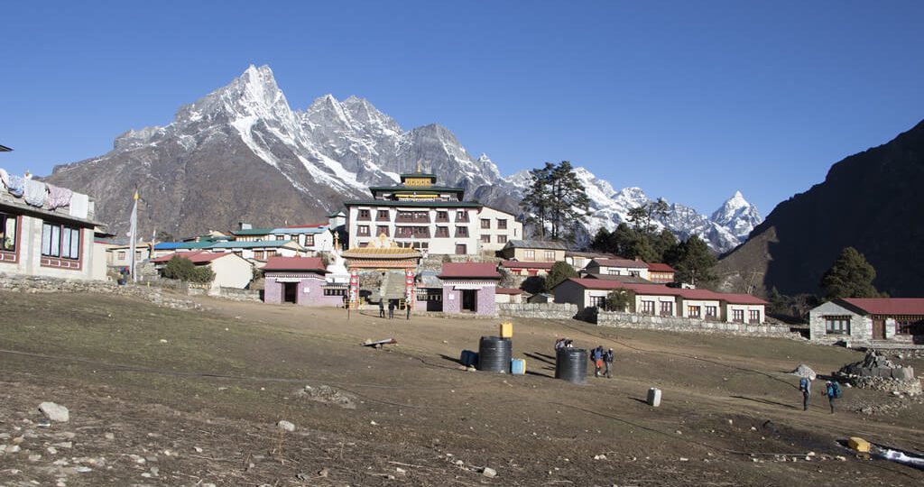
Several trek routes are running along with Sherpa settlements in the Everest region that guides you to the Everest Base Camp. EBC Trek was ranked the fourth-best treks in the world by a leading travel guide book, Lonely Planet in June 2020. Undoubtedly, Everest Base Camp Trek elevated at the altitude of 5,364m (17,598ft) from sea level is a great opportunity to glance at Sagarmatha (Nepali name for Everest).
Among many choices, to begin with, most of the routes to Everest Base Camp mostly initiate from Lukla. Lukla arrives once you land in Tenzing-Hillary Airport situated at the height of 2,840m (9,318ft) from sea level. Tenzing-Hillary Airport is the sole airport present in the Khumbu region, so it is also called the gateway to Everest. The flight to Lukla takes place either from Kathmandu airport or from Ramechhap airport in Manthali. However, to reach Ramechhap airport, one requires an on-road drive from Kathmandu for about 4 to 5 hours.
Other substitutes to the Everest base camp apart from routes through Lukla are Phaplu and Jiri. The classic routes that begin from Phaplu and Jiri are not much popular as that of the route beginning from Lukla. Reaching Jiri and Phaplu requires a four-wheeler drive from the capital city Kathmandu for about 7 to 8 hours.
On the other hand, trek routes with helicopter tours have gained more popularity in recent days. An Everest Base Camp helicopter tour is suitable for those who are on a short holiday. Moreover, a helicopter flyover also grants an extra benefit of enjoying everything from a bird’s eye view which would be impossible through a walking view.
Whether the EBC trek routes start from Lukla, Phaplu, or Jiri, all trek routes to EBC have to pass through Namche Bazaar. Also, the trek route that incorporates helicopter tour passes through Namche. Most of the treks to EBC include Namche Bazaar as its first stopover for acclimatization. Namche Bazaar situated at an altitude of 3,440 m (11,286ft) is the most active trade hub for the Sherpa and Tibetans.
From Namche Bazaar, the trek route runs via traditional Sherpa villages like Tengboche, Dingboche, and Lobuche. Walking through these villages is a great insight into Tibetan-influenced Sherpa culture. Additionally, the trek routes offer fascinating views of forests, rivers, and various mountains. Finally, the day you get to enjoy the beauty of gigantic mountains from Everest Base Camp and Kala Patthar, your trek will feel complete.
Table of Contents
- 1.1 Everest Base Camp Hike – 12 Days
- 1.2 verest View Trek – Visit EBC and Gokyo Lakes by Helicopter – 5 Days
- 1.3 Everest Base Camp Trek- 13 days
- 1.4 Everest Base Camp Comfort Trek – 15 Days
- 1.5 Shortest Everest Base Camp Trek – 9 Days
- 1.6 Everest Base Camp Trek and Return by Helicopter – 9 Days
- 1.7 Jomsom Muktinath Trek – 8 Days
- 1.8 Phaplu To Everest Base Camp Trek – 16 Days
- 1.9 Short Everest Base Camp Trek with Helicopter Flight – 8 Days
- 1.10 Mount Everest Base Camp Trek Return to Lukla by Helicopter – 8 Days
- 1.11 Everest Luxury Lodge Trek Return Lukla by Helicopter – 9 Days
- 1.12 Everest Base Camp Luxury Lodge Trek – 12 Days
- 1.13 Everest Base Camp from Jiri – 18 Days
- 1.14 EBC Trek and Fly Back Lukla By Helicopter – 10 Days
- 1.15 Kondge Luxury Trek & Heli Tour – 7 Days
- 2.1 When is best time to visit Everest Base Camp?
- 2.2 How difficult is EBC Trek?
- 2.3 How to Avoid Altitude Sickness in Everest Base Camp Trek?
- 2.4 How to Train for Everest Base Camp Trek?
- 2.5 Everest Base Camp Trek Permit Costs
- 2.6 Food and water during EBC Trek
- 2.7 Accommodation
- 2.8 EBC Trek gear and packing list
- 2.9 Communication and electronic devices
- 2.11 Handling Emergency
- 3. Conclusion
Fifteen Trek Routes to Everest Base Camp
Our various packages for EBC are designed with special consideration of features about the routes and needs of the trekkers. Depending on the routes taken and other added attributes like a luxury, helicopter tours, the duration of these packages ranges from 5 to 18 days. To facilitate your decision on choosing the best-suited routes for you, we have listed and briefly explained below 15 different routes to undertake EBC trek.
1. Everest Base Camp Hike – 12 Days
Trip Facts:
💠 Grade: Moderate to Difficult 💠 Walk Hour per day: Minimum- 3 hours, maximum- 8 hours, average- 6 hours 💠 Acclimatization: Two days in Namche and Dingboche
Everest Base Camp Hike-12 days trek starts and ends in Lukla. The hike from Lukla runs along the Sagarmatha National Park, a UNESCO World Heritage Site, and beautiful mountain sceneries. Including two days for acclimatization, you will need to hike for 8 days to reach Kala Patthar. Getting back to Lukla from there will occupy 3 days.
The view of Everest, the tallest mountain on earth from Kala Patthar is the main attraction of this 12 days trek. Furthermore, it’s also an excellent chance to enjoy remarkable 360-degree views of 8,000 and 7,000-meter peaks like Lhotse Pumori, Ama Dablam, and Nuptse. The beauty of Khumbu glacier, Icefall, and the Everest expedition campsites during peak seasons are other complementary garnishes in the trek.
Outline Itinerary:
2. Everest View Trek – Visit EBC and Gokyo Lakes by Helicopter – 5 Days
💠 Grade: Easy to Moderate 💠 Walk Hour per day: maximum- 6 hours, minimum- 3 hours, and average- 5 hours 💠 Acclimatization: One day in Namche Bazaar
Everest View Trek – Visit EBC and Gokyo Lakes by Helicopter trek package is a beautiful blend of trekking and helicopter tours. A helicopter ride is such a blessed opportunity to admire the best views of the Himalayas.
After landing in Lukla airport on the first day, this 5-day trek begins as you walk across the Dudh Koshi River and reach Phakding. The second day, the plan would be to walk via pine and rhododendron forests towards Namche Bazaar. After acclimatizing in Namche for a day, a helicopter ride to Everest Base Camp and Kala Patthar from Namche will offer you an aerial view of the Everest Region.
A short break in Kala Patthar will be a moment to cherish and engrave in your heart forever. Additionally, the view of pristine Turquoise blue Gokyo Lake surrounded by those gigantic mountains from above looks unbelievable.
3. Everest Base Camp Trek- 13 days
💠 Grade: Moderate to difficult 💠 Walk Hour per day: minimum- 3 hours, maximum- 8 hours, average- 6 hours 💠 Acclimatization: Two days in Namche and Dingboche
Everest Base Camp Trek starts from Lukla and continues via Dudh Koshi River. Passing through lush pine forests via Phakding village leads you to Namche for acclimatization. After acclimatizing in Namche Bazaar, you continue the march towards Tengboche along with lush rhododendron and birch forests. Dingboche will be another stopover for a day that also involves a short hike to Nagarjun Hill at 5,100m. A hike to Nagarjun is a good opportunity to have impressive photography.
Passing through Thukla and Lobuche villages is a close insight into Sherpa culture. Various icons like prayer flags, monasteries found along the way represent Buddhism. On a ninth day, you then trek to Gorak Shep and visit Everest Base Camp. The next day, you hike to Kala Patthar and enjoy the 360-degree sight of the Himalayas.
After spending a pleasant time at Kala Patthar you move down to Lukla through the juniper forests of Periche and Namche. From Lukla, you fly back to Kathmandu on an early morning flight which marks the end of your trek.
4. Everest Base Camp Comfort Trek – 15 Days
💠 Grade: Moderate to difficult 💠 Walk Hour per day: minimum- 2 hours, maximum- 8 hours, average- 5 hours 💠 Acclimatization: One day in Dingboche
This Everest Base Camp Comfort Trek plan starts and ends in Kathmandu. After landing in Tenzing- Hillary airport, your walk starts from Lukla along Dudh Koshi River and proceeds to Namche Bazaar via Phakding village.
Further, enjoying the sight of mountains like Lhotse, Nuptse, Ama Dablam, Pumori, and Makalu this comfort trek goes on via Khumjung and Phortse. Khumjung village displays an ancient monastery with a Yeti scalp.
We acclimatize in Dingboche and also go for a short walk to beautiful Nagarjun Hill which offers 360-degree views of the Himalayas. Further, we march towards Gorak Shep through Sherpa villages in Thukla and Lobuche. Elevating more from Lobuche, we arrive at Everest Base Camp through Gorak Shep. You will enjoy the view of Khumbu Glacier and Icefall during a walk through Gorak Shep.
The view of Everest looks more stunning from Kala Patthar, so you walk again until Kala Patthar arrives. In Kala Pathtar, you will splurge in the amazing view of mountains and relish nature’s magic. To get back to Lukla, you need to descend via the settlements of Tengboche, Phakding, and Namche. Your comfort trek ends when you get back to Kathmandu from Lukla via a flight.
5. Shortest Everest Base Camp Trek – 9 Days
💠 Grade: Moderate to difficult trek 💠 Walk Hour per day: minimum- 4 hours, maximum- 8 hours, average- 6 hours 💠 No acclimatization day included
Shortest Everest Base Camp Trek does not have any days separated for acclimatization. Because there is no any acclimatization in this package, this 9 days trek is more physically demanding than other treks with ample acclimatization. So, it is suitable only for those who have had many trekking experiences and are used to high altitudes.
The Shortest Everest Base Camp trek starts and ends in Lukla. Passing through the Sherpa settlements like Phakding, Namche, Pangboche, Thukla, and Tengboche, it gives you an immense delight of learning their culture and traditions. The routes via these settlements have many representations of Buddhism like ancient monasteries, mani walls, prayer wheels, and prayer flags.
Kala Patthar standing at the altitude of 5,550m (18,209ft), is the highest elevation on this trek route and is known as the best viewpoint of the giant mountains. Your journey then ends when you arrive back from Kala Patthar to Lukla.
6. Everest Base Camp Trek and Return by Helicopter – 9 Days
💠 Grade: moderate to difficult trek 💠 Walk Hour per day: Minimum- 5-6 hours, maximum- 7-8 hours, average- 6 hours 💠 Acclimatization: Two days in Namche and Dingboche
Everest Base Camp Trek and Return by Helicopter combines the foot walk from Lukla to Kala Patthar and helicopter trip return to Lukla from Kala Patthar. This 9 days route begins with a helicopter ride from Kathmandu to Lukla.
Once you reach Lukla, the trail holds through the route following the Dudh Koshi River towards Phakding village. The next day, your walk continues towards Namche Bazaar, your first acclimatization spot.
From Namche Bazaar, you walk past Tengboche village along with the lush pine and rhododendron forests. Dingboche will be your second place for acclimatization. During your stay at Dingboche, you can have an acclimatizing hike to Nagarjun Hill to see the beautiful panoramic view of the scenery.
Again, the next day, your journey to EBC through this route continues in the rugged trails via Lobuche; along with the astonishing views of the Himalayas Mt. Everest, Nuptse, Thamserku, and Ama Dablam.
On the 9th day, you will hike to Kala Patthar, the best viewpoint of Everest. After embracing the beauty of the mountains from the closest possible distance, you return back to Lukla via a helicopter flight. During the helicopter ride, you will have the chance to savor the incredible charm of the Everest region. From Lukla, you will be taking a flight back to Kathmandu.
7. Everest Base Camp Short Trek – 10 Days
💠 Grade: Moderate to difficult trek 💠 Walk Hour per day: Minimum- 3 hours, maximum- 8 hours, average- 6 hours 💠 Acclimatization: Not included
Everest Base Camp Short Trek is most feasible for those who have much experience in trekking at high altitudes or who can adjust quite well even in a thin air area. Without an important acclimatization process, there are high chances of acute mountain sickness at such heights.
Take an exciting flight to Lukla from Kathmandu. Tenzing Hillary Airport in Lukla lies in the lap of mountains and Himalayan cliffs. Your trek begins from Lukla following the trails along the forest line beside the Dudh Koshi River. Before reaching Namche, you will first pass through a Sherpa community Phakding.
As there is no acclimatization in this package, you continue to walk towards Tengboche and reach Dingboche. Tengboche and Dingboche are both rich in Buddhism icons like monasteries, mani walls, prayer wheels, and prayer flags. If you are lucky you will also have the chance to listen to soulful Buddhist chants playing in the Tengboche monastery. From Dingboche again, the route follows the path to Lobuche and Gorak Shep. Be blessed with a closer view of mountains like Ama Dablam, Mount Everest, Tawache, Lhotse, and other peaks.
Once you reach Kala Patthar after one more hike day, the sparkling mountains will reward you for all the hardships. After savoring the beauty of Himalayas lined up you retrace your way back to Lukla via Pheriche and Namche Bazaar. Your trip then ends with a flight back to Kathmandu from Lukla.
8. Phaplu To Everest Base Camp Trek – 16 Days
💠 Grade: Moderate to difficult trek 💠 Walk Hour per day: Minimum- 4 hours, maximum-8 hours, average- 6 hours approx 💠 Acclimatization: Two days in Namche Bazaar and Dingboche
Phaplu to Everest Base Camp trek commences with a drive from Kathmandu and completes with a flight from Lukla to Kathmandu. Unlike other standard trek routes, this trek takes a different path. You get to arrive at Namche only after walking three days through villages; Nunthala, Buspa, Surkhe, and finally through Phakding. These appealing villages are full of pine forests and cow pastures and agricultural farms.
After you reach Namche Bazaar, your walk starts to take the usual route through the banks of Dudh Koshi River. Along the paths via Sherpa villages like Lobuche, Tengboche, and Dingboche, you will have the chance to meet many other trekkers moving on both directions. You will also meet many Sherpas and Tibetans descending and ascending in the trail for trade purposes.
After heartwarming sights of Mount Everest and various other mountains from Kala Patthar, your descend walk back to Lukla begins. Moreover, the sun rays hitting the sparkling mountains will be a moment for you to boast about for a lifetime.
9. Short Everest Base Camp Trek with Helicopter Flight – 8 Days
💠 Grade: moderate to difficult trek 💠 Walk Hour per day: Minimum- 4 hours, maximum-8 hours, average- 6 hours 💠 Acclimatization: Two days in Namche Bazaar and Dingboche
This short Everest Base Camp Trek with Helicopter Flight voyage begins as you fly to Namche via a helicopter ride. In Namche, you can buy gears if you may have missed bringing along some and maybe buy a few snacks as well.
After acclimatization in Namche for a day, your next day starts with a walk from the trails of Tengboche village. From Tengboche, you will hike to Dingboche and will acclimatize there one more day. Again, continuing the hike through rocky trails, you pass via other Sherpa villages; Lobuche, and Gorak Shep.
The housing and culture of the Sherpa villages are an excellent representation of Sherpa’s, and Tibetan’s way of life. All over the way, impressive figures of the mountains are always welcoming. Your most awaited day comes into reality when you hike to Kala Patthar from EBC.
Be ready to consider yourself as the happiest person on earth while you gaze at the giant snowcapped masses from Kala Patthar. Savoring the beauty of the Himalayas, from a bird’s eye view, come back from Kala Patthar to Lukla via a helicopter flight. Returning Kathmandu from Lukla via a flight marks the end of your trek.
10. Mount Everest Base Camp Trek Return to Lukla by Helicopter – 8 Days
💠 Grade: Moderate to difficult trek 💠 Walk Hour per day: Minimum- 2 hours, maximum-8 hours, average- 5 hours 💠 Acclimatization: Two days in Namche Bazaar and Dingboche
Mount Everest Base Camp Trek and Return Helicopter begin from Lukla. To reach Lukla, you will first need to take a half-hour flight from Kathmandu. The 8 days trek incorporated with helicopter return has double benefit; picturesque observation of the surroundings while on a walk and in-flight view of the entire exquisiteness. It is not a very exhausting trek as you have two days for acclimatization and also you get to return from Kala patthar to Lukla without having to walk.
You will walk past various Sherpa settlements like Phakding, Namche, Tengboche, and Lobuche through steep paths. Tengboche monastery is a very important place that you should not miss to visit. As you walk through suspension bridges whilst watching colorful prayer flags flaunting in the wind, many peaks approach closer to make you feel truly blessed.
A demanding march over the Khumbu Glacier signifies that you are now closer to Kala Patthar. Once to reach Kala Patthar, immerse in the magnificent views of those magical mountains and fill your memory card with plenty of pictures. From Kala Patthar, the helicopter flight will escort you back to Lukla. From Lukla again, you will need to catch a flight, to get back to Kathmandu.
11. Everest Luxury Lodge Trek Return Lukla by Helicopter – 9 Days
💠 Grade: moderate to difficult trek 💠 Walk Hour per day: Minimum- 3 hours, maximum-8 hours, average- 5 to 6 hours 💠 Acclimatization: Two days in Namche Bazaar and Dingboche
Everest Luxury Lodge Trek with a return by Helicopter is a luxurious trek that completes in just 9 days. Your journey starts from Kathmandu via a flight to Lukla. From Lukla, the trek advances via a Sherpa rural community; Phakding before you arrive at Namche. Namche will be our first stopover for acclimatization. Enjoy the first sight of mountains from Namche, wander around the market, and discover the nearby villages.
After an acclimatization day in Namche, you walk past Deboche village through pine and rhododendron forests. Passing Deboche, you ascend towards your second acclimatization spot; Dingboche. In Dingboche, you can have a hike to Nagarjun Hill to see the closer panoramic view of the Himalayas like Ama Dablam, Makalu, and Lhotse.
Further, we walk past Lobuche and Gorak Shep to reach Everest Base Camp. To get the clear view of Everest, you need to hike even above the Everest Base Camp; to Kala Patthar. Stand at Kala Patthar and stare at the beauty of such a wonderful outlook of the mountains as if you are the most fortunate being in the globe.
12. Everest Base Camp Luxury Lodge Trek – 12 Days
💠 Grade: Moderate to difficult trek 💠 Walk Hour per day: Minimum- 3 hours, maximum-8 hours, average- 6 hours 💠 Acclimatization: Two days in Namche Bazaar and Dingboche
Everest Base Camp Luxury Lodge Trek is the package we offer that seeks to provide the best possible lodge facilities throughout the trek. This 12 days trek begins and finishes in Kathmandu. On the first day, you land at Lukla airport via an early morning flight from Kathmandu.
After breakfast in Lukla, you will walk towards Phakding through the roaring River, Dudh Koshi. Resting for a night in Phakding, you will walk towards your first acclimatization spot; Namche. In Namche, you can stay at Everest view hotel that serves the best hospitality. Enjoy the free day in Namche and watch beautiful sceneries from the hotel. The day can also be spent exploring the neighboring villages like Khumjung.
The next day, your walk heads on along pine trees to Dingboche via Deboche. At Dingboche, you will stay for the second acclimatization, which is a very important process. While staying at Dingboche, a short hike up to Nagarjun Hill is a good option to utilize the leisure day.
Everest Luxury Lodge Trek continues towards EBC through Lobuche and Gorak Shep. On the 9th day, you hike to Kala Patthar and immerse in the glory of mountain ranges. Moreover, the snow glimmering with sun rays looks jaw-dropping when seen from Kala Patthar.
From Kala Patthar, you will then retrace the trail back to Lukla through the settlements of Periche, and Namche. On the last day, you will fly back to Kathmandu via a flight from Lukla.
13. Everest Base Camp from Jiri – 18 Days
💠 Grade: Moderate to difficult trek 💠 Walk Hour per day: Minimum- 4 hours, maximum-8 hours, average- 6 hours 💠 Acclimatization: Two days in Namche Bazaar and Dingboche
Everest Base Camp from Jiri is an alternative route against the usual standard route that typically starts from Lukla. It begins with a bus ride from Kathmandu to Bhandara via Jiri. From Bhandara, you will walk across Sun Koshi River enjoying the glance of Ganesh Himal, Lantang, Lakpa, Dorje, and Gauri Shankar mountains.
Hiking for three days via Sete, Jun Besi, and Nunthala is necessary before arriving at Buspa. The village trails connecting Bhandara and Buspa present you with scenic landscapes, terraced farmlands, and some animal farms as well. Additionally, Lamjura La pass and Trakshindo la pass makes this route more exciting.
Again, from Buspa, you will have to walk alongside pine, maple, birch, and rhododendron forests and pass through Surke to reach Phakding. On the way to Phakding, the trail ascends to Khari La pass and descends to Puiyan followed by a walk through Chaurikharka.
After acclimatization at Namche, your trek will follow along the trails towards Tengboche and Dingboche. Again, after daybreak in Dingboche, you ascend to Everest Base Camp via Gorak Shep. The mountains, glaciers, Icefalls, Buddhist monasteries, flags, and many more along the trails to Gorak Shep are remarkable.
We head towards Everest Base Camp from Gorak Shep to spend some blissful moments. Again from EBC, we hike to Kala Patthar at the height of 5,550m (18,209ft). Standing at the altitude of 5,550 m will be a moment to celebrate. The splendid view seen from Kala Patthar will reward you for the patience you kept during your walk from the beginning. From Kala Patthar, a downward march to Pheriche and Namche will bring you to Lukla. The flight from Lukla to Kathmandu on the 18th day marks the end of Everest Base Camp from Jiri Trek.
14. EBC Trek and Fly Back Lukla By Helicopter – 10 Days
💠 Grade: moderate to difficult trek 💠 Walk Hour per day: Minimum- 3 hours, maximum-8 hours, average- 5/6 hours 💠 Acclimatization: Two days in Namche Bazaar and Dingboche
EBC Trek and Fly Back Lukla by Helicopter trek start with a picturesque flight from Kathmandu to Lukla. Start marching from Lukla through the thundering river Dudh Koshi towards Phakding village. After one night’s stay in Phakding, you proceed towards Namche Bazaar through lush forests and suspension bridges. Namche, a busy market of the Khumbu region will be your first acclimatization location.
On the 4th day, your hike from Namche will continue towards Dingboche through the village of Tengboche. The sight of tall mountains like Ama Dablam, Everest, Thamserku, Nuptse, Lhotse, and Kusum Kanguru looks enthralling from the trails of Tengboche. Having an acclimatizing hike to Nagarjun Hill while in stay over at Dingboche provides you with a good opportunity to observe the panoramic scenery of the Himalayas.
On the 7th day, you leave behind Dingboche and proceed to walk towards Everest Base Camp through Lobuche and Gorak Shep. On the 9th day, your activity involves an early morning hike to Kala Patthar to see the full-fledged vista of the radiant Everest and other peaks like Pumori, Nuptse, and Lhotse. From Kala Patthar, you will then return to Lukla via a helicopter flight.
The aerial views from up above the air during the heli ride while returning Lukla are sure shot unbeatable against any other experiences. Your trip comes to an end when you return to Kathmandu from Lukla via an early morning flight.
15. Kondge Luxury Trek & Heli Tour – 7 Days
💠 Grade: Moderate to difficult trek 💠 Walk Hour per day: Minimum- 3 hours, maximum-7 hours, average- 5 hours 💠 Acclimatization: One day in Namche Bazaar
Kondge Luxury Trek & Heli Tour begins with a scenic flight to Lukla from Kathmandu that offers you with an extravagant insight of the gorgeous mountains. From Lukla, the trek heads to Phakding through a descending path along the Dudh Koshi River. Namche Bazaar will be our next day target and also acclimatization spot which can be utilized by an exploration of nearby villages. A short hike can be made to the Everest View Hotel to watch the panoramic view of the mountains.
The journey then continues to Thame; a village with a beautiful illustration of Sherpa culture and Buddhism. The monasteries, mani walls, small Sherpa houses while walking to Thame will serve as a beautiful photo background.
The 5th and 6th days are occupied by a hike to Kongde and Farak Ri respectively. Farak Ri 5,000 m (16,505 ft) is going to be the highest elevation you will step on the 7 days luxury trek. Appreciating the unbelievable views of the mountains from these spots are beyond any explanation.
From Farak Ri you get back to Lukla via a panoramic helicopter ride. Your luxurious trek ends as you return Kathmandu via flight from Lukla. Thus, even though you don’t reach the Everest base camp in this package, the amazing bird’s eye view from the helicopter viewpoint ride is fully compensating.
Everest Base Camp Trek Frequently Asked Questions
There are a lot of questions that go into preparing for an Everest Base Camp Trek. Here are few most frequently asked questions answered for your:
When is best time to visit Everest Base Camp?
The Spring season (March to May) and the autumn season (September to November) are the finest time to embark on this trek. The minimum and maximum temperature of the Everest region during spring is -10° C (14 F) F and 15° C (59 F) respectively (approx). And in autumn, the temperature ranges approximately from -10° C (14 F) to 19° C (66.2 F). Both spring and autumn seasons possess clear weather. Thus, clear weather contributes to an unobstructed view of the mountains and other sceneries.
While some trekkers who prefer solitude come to undertake EBC trek in the summer/monsoon season (June to August). In the summer season, flora and fauna begin to flourish in their preeminent form. But, the leeches during monsoon are not a very pleasant bonus. The temperature in the Everest region during summer ranges from 5° C (41 F) to 20° C (68 F).
Besides, if you can bear extreme cold at night up to -60° C (-76° F) and desire for a challenging snow walk, the winter season (December to February) is okay as well. Though, very few trekkers arrive Nepal for EBC trek during winter.
How difficult is EBC Trek?
As the paths are steep on most routes, the journey to EBC is not a cakewalk. We grade the trek to EBC as “moderate to difficult”. The EBC journey starts from Kathmandu from the altitude of 1,400 m (4,593 F). In most of the routes, the trek begins from Lukla at the altitude of (2,840m/9,318ft). The maximum altitude en route to the EBC is (5,550m/18,209ft) at Kala Patthar.
To complete the EBC trek, one does not require having technical expertise such as climbing or athletic running. So, any experienced and non-experienced person can undertake the trek to EBC. In other words, it is a realistic goal for a healthy person with basic preparation and willpower who can walk 5 to 6 hours a day.
Thus, with a track of professional supervision by the guide, and a properly operating plan with high prioritization for acclimatization, reaching completing the EBC trek is achievable.
How to Avoid Altitude Sickness in Everest Base Camp Trek?
The experience of altitude sickness during the Everest Base Camp trek differs for each person. It is almost impossible to predict to whom altitude sickness might occur, as it sometimes may affect even to experienced climbers.
Symptoms of altitude sickness generally occur within 6 and 24 hours after getting to altitudes above 2,500m (8,202 F) from sea level. Common symptoms of altitude sickness are shortness of breath, headache, dizziness, loss of appetite, and tiredness.
SO, walking at a steady pace, properly planned acclimatization, taking some medicines if required, and being hydrated are the key measures to beat altitude sickness. Additionally, constant communication with the guide is also very vital. Informing the guide instantly as soon as you sense the occurrence of any altitude sickness symptoms assists the guide to undertake immediate measures.
How to Train for Everest Base Camp Trek?
Conquering the EBC trek does not require technical skills like that of a mountain climber. However, walking to high altitudes can be physically demanding. So, before doing this trek, we advise you to start doing some preparedness to attain physical stamina in advance.
To attain physical stamina, some movements such as short hikes or light gym exercises, squats are helpful. These kinds of physical movements are useful to strengthen your legs. Similarly, aerobic exercises like jogging and swimming are also very beneficial for improving oxygen circulation in the body.
Everest Base Camp Trek Permit Costs
Each trekker undertaking a trek to Everest Base Camp needs to purchase two permits; 1) Sagarmatha National Park Entry Permit, and 2) Khumbu Rural Municipality Entrance Permit.
Sagarmatha National Park Entry Permit can be acquired from the Nepal Tourism Board’s Office in Kathmandu or at the park entrance in Monjo which costs NRS 3000 (USD 30 approx). The SAARC countries’ citizens are liable to pay only NRS 1500 (USD 15 approx) for the permit. The process of acquiring these two permits requires the submission of a filled out permit form and a copy of your passport. Once you reach Lukla, the rural municipality counter provides Khumbu Rural Municipality Entrance Permit which costs NRS 2000 (USD 20 approx). The better way is to get both permits at once in Monjo entrance.
And trekking to Everest Base Camp from through routes of Jiri requires an additional permit for Gaurishanker Conservation Area Project Entry as well. Nepal Tourism Board’s office in Kathmandu issues the permit for NRS 2000 (USD 20 approx).
Food and water during EBC Trek
Mineral water bottles are readily available for purchase throughout the EBC routes. Also, trekkers can get bottled, boiled, and filtered water at most of the teahouses in the routes. You can also fill your bottle from the streams and waterfalls found along the trails. But whether you fill the water from a natural spring or borrow from the teahouses, water purification before drinking is much essential.
Throughout the Everest Base Camp trek routes, the teahouses have a menu with varied choices. For breakfast, the teahouses mostly offer toasts, eggs, potatoes, cereal, or porridge with tea/coffee. And with regards to lunch and dinner, the menu includes usual Nepali meals like Dal-Bhat (rice, lentils, and curry or meat).
Other common foods available in the teahouses are burgers, pizza, bakery cakes, dumplings, and noodles. Moreover, people with special dietary preferences like gluten intolerance or vegan foods receive very generous service in the teahouses.
Nonetheless, we advise all trekkers to have vegetarian food during the trek because digesting meat products may not be easy at high altitude for all. Also, the meat available there are not always fresh.
Accommodation
In concern with the accommodation in the EBC trek routes, rooms with attached bathrooms and free hot shower are available at lower elevations such as Namche. Beyond Namche, as the routes start to elevate at a higher altitude, the lodges have basic facilities only; bed, shared washroom, and a common sitting, and dining area.
Therefore, in the EBC trek, accommodation is available in non-insulated rooms with thin walls. The bed is arranged with a mattress, pillow, and a blanket. So, layering a sleeping bag and a pillow liner is better for two reasons; hygiene and temperature may fall during the night.
EBC Trek gear and packing list
Equipment like a comfortable pair of trekking boots, down jacket, windproof jacket, thermal underwear, and inners, walking stick, a comfortable backpack are very much essential.
You can bring all the required gear by yourself that could be useful for other future treks as well. Otherwise, gears are also available on rent in Kathmandu at a reasonable price of around USD 2 to 5 per equipment/clothes.
In EBC trek routes, it might get warm while walking at day and the temperature may gradually fall in the evening even during summer. Thus, wearing layered clothes is a good idea so that you can easily layer or un-layer clothes according to the change in temperature while walking in the trails.
Communication and electronic devices
We recommend you carry fewer electronic devices during the EBC trek; most possibly just a phone and a camera. If you have brought laptops or heavy tabs, you can store those back safely in Kathmandu’s hotel.
Charging facilities are available at tea houses in the low altitudes all over the EBC trek routes. However, the facilities may be less as you ascend because the power may cut off occasionally. Nevertheless, many teahouses have now begun to depend on solar-generated electricity. In some places, you may also expect to pay a little amount for charging devices.
Concerning communication, the Sim-card can be easily available once you reach to Nepal. The data internet works well up there in the EBC routes, though the internet might lag in poor network areas. Wi-fi services are also available in the lodges, although some lodges may charge you for it.
What if the Lukla Flight Gets Canceled?
In winter and rainy season there are chances of delay or cancellation of the Lukla flight due to foggy weather. If canceled, the next day’s flight will be available as the weather clears up. If canceled for many days, we still have a non-flight route that starts from Jiri or Phaplu. Another option in case of flight cancellation is to charter a helicopter ride to reach Lukla.
So it is advised that you allocate one or two more days as leisure in case you need to compensate for the lost days due to flight discrepancy.
Besides, trek options to other regions like Annapurna, Manaslu and Langtang can also be promptly planned instead of Everest Base Camp trek.
Handling Emergencies
Medical facilities are indeed fewer in the EBC trek routes. But, all our certified guides are first aid trained. Thus, if any emergencies occur, our guides will handle it well. Moreover, the guides carry a set of medical kits. Also, few local health centers are available in the villages along the trek where you can monitor your oxygen level in the body.
For instance, if a trekker needs to descend due to altitude sickness, then it is the topmost priority of the guide to assist in doing so. If any serious scenario occurs, evacuation by helicopter from any spot throughout routes is possible. Therefore, while trekking to EBC, it is imperative to buy travel insurance with a policy that covers the medical evacuation to the height of 6000 m (19685 ft). The cost of helicopter evacuation, of course, can be claimed later but with a genuine reason presented.
No matter what route, what means you use for the trek!! You can get to the mountains anyway and the mountains have such magical power to throw spells on you. Besides, despite being a non-living element, mountains manage to appear so vivacious! Come visit Nepal, trek to the Everest Base Camp to fall in love with the mountains. Feel the chills down your spine, and earn the right to brag about this awesome experience for life.
Naba Raj Amgai
Naba Raj Amgai, stepped into the world of travel and tourism in 1996.
Beginning his journey in the tourism industry as a humble Porter Guide to founding hospitality establishments and an adventure travel company, he has come a long way.
In a career spanning more than two decades he has achieved more than anybody dreams of achieving. Along with his professional achievements, his selfless contribution towards his community and society has won him a lot of accolades and praises.
Having dedicated more than two decades in the tourism and hospitality sector, he has amassed a wealth of experience.
After passing high school, he began helping out some trekking guides and was soon recruited as a porter guide at a reputed trekking agency. Within a short period of time he was individually guiding clients across the well-known trails of the Himalayas.
He went on to lead tour groups on multi-country tours to Nepal, Tibet, Bhutan and India. Being a part of mountain climbing expeditions familiarised him with expedition logistics and operations. Later on he went to become the Executive Director and took over the reins of Operations, Sales and Marketing departments. Spending several years in the tourism field has made Naba Raj Amgai a destination expert.
Travelling is his passion and he has been to many countries across the world – USA, Canada, Australia, Japan, Holland, Germany, Austria and many parts of Asia.
His journeys to different parts of the world have enriched his travel experience and knowledge. This experience has been instrumental in planning and organising successful trips for several clients.
As of today many reputed trekking agencies, hotels and restaurants are under his leadership. A dynamic and proactive leader, he continues to inspire and motivate people from all walks of life.
You may also like...
21 best short treks from pokhara, everest base camp trek difficulty, annapurna circuit trek – facts, routes, places and faqs, leave a reply cancel reply.
Your email address will not be published. Required fields are marked *
Save my name, email, and website in this browser for the next time I comment.
How to trek to Everest Base Camp

Jun 20, 2023 • 10 min read
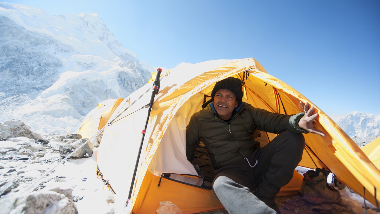
From permits to teahouses, here's everything you need to know about trekking to Everest Base Camp © Mint Images / Getty Images
Top of many people's travel bucket lists, the trek to Everest Base Camp is often the first thing people think about when they start dreaming of a trip to Nepal .
The walk takes trekkers past Sherpa villages and Tibetan-style monasteries, right up into the heart of the high Himalaya, into a breathtaking world (literally) of iconic glaciers, lakes and the tallest peaks on earth. It's probably the world's most famous trek.
But what is it actually like to trek to Base Camp? Is it something within your capabilities or budget? What should you bring? And, most importantly, can you get a proper coffee en route?
I just returned from trekking to Everest Base Camp for Lonely Planet's Nepal guide . Here’s what I think you need to know.
What's so great about the Everest Base Camp (EBC) trek anyway?
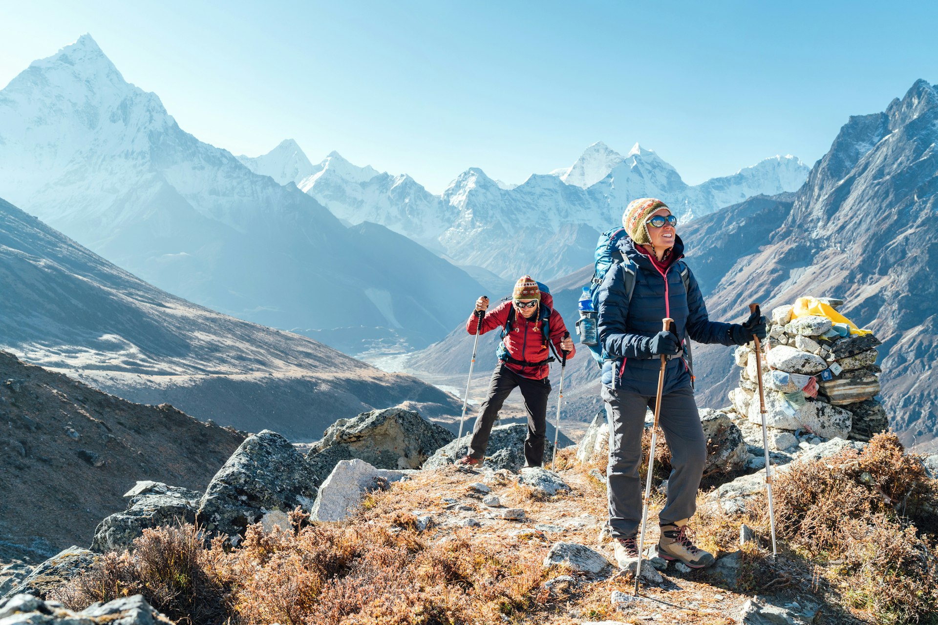
Firstly, the mountain scenery surrounding the world's highest peak is truly spectacular. The sublime views of Ama Dablam, Pumori, Nuptse and Thamserku peaks are unbeatable and constantly change as you progress along the walk. The Sherpa villages and monasteries are fascinating places to visit and the lodges (called teahouses) are the best in the world.
The knowledge that you are walking in the expedition footsteps of Hillary, Tenzing, Messner and others is a thrill. Anyone who has read Into Thin Air will be moved by the memorial stupas of Rob Hall, Scott Fischer and others who have lost their lives on the mountain. And then there's the fact that you will have reached the base of the world's highest peak; whether you call it Chomolongma (Tibetan), Sagarmatha (Nepali) or Everest, it’s a rush all the same.
And what’s not so great about the Everest Base Camp trek?
Well, if you force us to play devil's advocate… EBC is one of the busiest trails in Nepal. In the high season months of October and November you'll be walking with thousands of other trekkers, competing with them to get a bed, a lunch order or an airplane seat. There will be lines at checkpoints and even at moments on the trail itself. In bad weather you might be stranded at Lukla airport with hundreds of other trekkers, all trying to get on the first flight out. It's not quite the Zen-like wilderness experience you may have been imagining.
Bear in mind also that even after a solid week of walking, your view of Everest will be partial at best (for infinitely more dramatic Everest views visit the northern Everest Base Camp in Tibet ). If you trek outside of May's expedition weather window you won’t actually find much to see at Base Camp beyond a boulder hastily spray-painted with "Everest Base Camp".
If this has put you off, don’t worry; there are dozens of other fantastic treks in Nepal .
How long does it take to trek to Everest Base Camp?
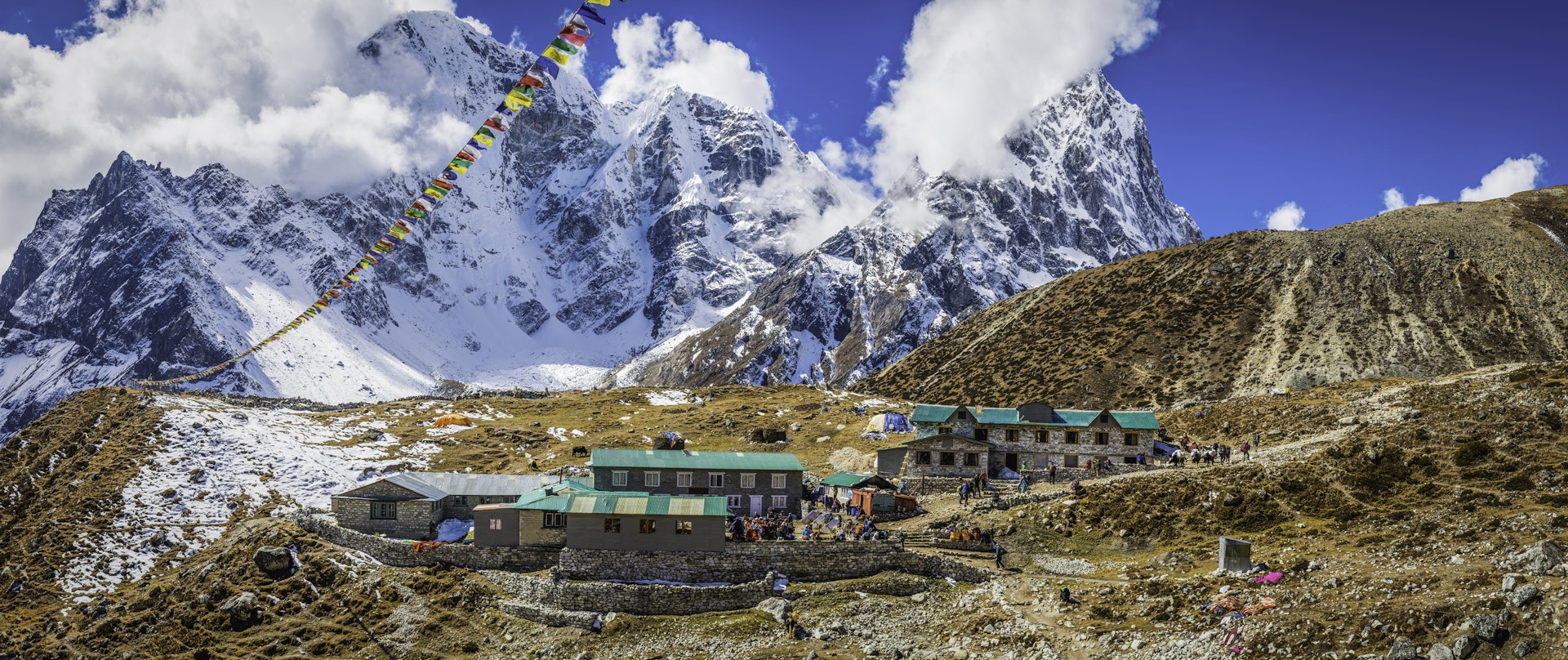
The walk from the airport at Lukla to Everest Base Camp and back takes a minimum of 15 days. Several of the days are surprisingly short, but this is because you have to figure in time to acclimatize to the high altitudes.
If you can, it's definitely worth adding on a couple of extra days to this basic itinerary. Some of the most dramatic (and least visited) views are from detours off the main trail. I always add two days to visit Thame, two days to visit Chhukung and, if possible, three or four days to visit the lakes of the Gokyo Valley – probably the most beautiful scenery in the Everest region.
Be sure to also budget an extra day or two as a transport buffer. Weather-related flight delays in and out of Lukla are not uncommon (I had to wait six days for a flight to Lukla on my recent trip) so you need some buffer time if heading back for an international flight home.
How challenging is the trek to EBC?
In terms of physical effort, the EBC trek itself is not especially tough. There are only a couple of steep climbs, lasting about an hour each, and most days involve less than four hours of walking.
The thing that makes the EBC trek tough is the altitude. Base Camp is at 5600m (18,373ft) and you will need to spend one or two nights above 5000m (16,404ft). Above 4000m (13,123ft) you are going to feel increasingly lethargic and out of breath as the amount of oxygen in the air decreases. Combine this with the cold, the discomfort of being at altitude and the compounded tiredness from walking for two weeks straight, and you can see why the whole trek experience is definitely a physical challenge.
While you don't need to be an athlete to walk to EBC it is still a good idea to start a fitness regime in the weeks leading up to your trek. You'll enjoy the walk so much more if you are in decent shape.
When is the best time to trek to Everest Base Camp?
October and November bring the best weather and the clearest skies but these are also the most popular months. The second most popular season is April to early May, when spring blooms and expedition traffic bring extra interest to the trail. To avoid the crowds but still enjoy clear views, pack an extra thermal layer and come in December or March.
What can I do to avoid altitude sickness?
The majority of people who fail to reach Base Camp do so because they failed to acclimatize properly to the altitude. It's essential not to gain altitude too quickly by following the recommended overnight stops and limiting your daily altitude gain to a maximum of 400m (1312ft) when above 3000m (9843ft).
Be sure to add in acclimatization days at both Namche Bazaar and Dingboche, during which it's a good idea to hike to higher altitudes during the day, returning to sleep lower at night.
What are the teahouses like?
At lower altitudes the Everest lodges are the most comfortable in Nepal. Private rooms are the norm, many of which have private bathrooms. Showers are available at most places, though the hot water supply can be patchy. All have cozy dining rooms with tables arranged around a central dung-fueled stove. There are even a few luxury lodges along the trail.
In budget lodges, or when you get above Dingboche, things get simpler, with rooms offering little more than a collection of plywood walls, a solar light and a foam mattress. Toilets are a mixture of seats and squatters; sometimes outdoors, always freezing. A blanket is normally supplied but be sure to bring a four-season sleeping bag rated to well below 0°C (32°F).
What's the food like?
Menus in teahouses range from pasta and pizza to spring rolls, fried potatoes and soups, though the most popular meal is a daal bhaat , a set Nepali meal of rice, lentil soup and fried vegetables, normally served with a papad and pickle, and with a refill included. It's the most filling and environmentally sustainable meal you can order.
In villages such as Namche Bazaar and Dingboche you will also find bakery-cafes serving espresso and slices of delicious apple pie, plus shops selling everything from Snickers bars to bottles of beer. This is one trek where you might actually gain weight!
Can I get wi-fi or phone coverage?
Most lodges offer wi-fi, either free of charge or for a few dollars per day (at higher elevations). Above Namche Bazaar you will likely have to buy a scratch card, giving you unlimited data for twelve hours (AirCell) or a specific amount of data over a month (Everestlink). Depending on your network provider you'll likely get data and a phone signal at lower elevations, and possibly even at Everest Base Camp, but not at other high altitudes. So yes, in theory, you can Skype all your friends from Base Camp!
What should I bring?
Warm clothes are a must, and you should pack thermal underwear, a down jacket and fleece hat. Comfortable hiking boots and good, padded socks are also essential. Sun block, a sun hat with a brim and good sunglasses are important against the strong high-altitude light.
Morale-boosting snacks like chocolate and salami are always helpful, as is a book and smartphone with mapping software like Maps.me. Bring water purification of some sort. If you forget something, don’t worry, you can buy almost anything you might want in Namche Bazaar these days (from ice axes to cans of Pringles), though at prices higher than in Kathmandu .
Do I need a porter and guide?
In terms of finding your way you don't need a guide if you are an experienced walker, as the route is clearly marked and well-trod. A guide can be useful for smoothing your way at teahouses, making sure you get your food on time and helping you pay your bill. It's important not to trek alone, so solo trekkers should find a companion or take a guide or porter.
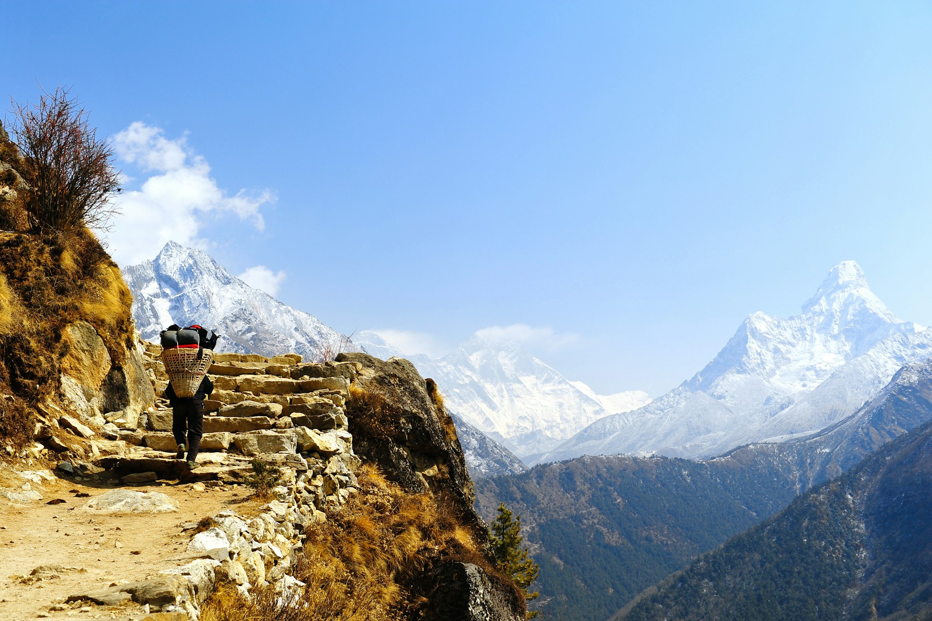
A porter will carry a bag of around 15kg, freeing you up to pack a few extra chocolate bars and enjoy the walk with little more than a day pack. Not having the strain of carrying a full pack is worth its weight in gold for anyone over the age of 50. Trust me.
How much does the Everest Base Camp trek cost?
For a room in a lodge and three meals a day, figure on US$20–25 per person per day, a bit more if you want a room with a private bathroom and the occasional slice of apple pie. Add on another US$5 every time you want a shower. Figure on an additional US$20 per day for a porter, and US$25–30 for a guide, and budget 10–15% of that fee for an end-of-trip tip.
You'll pay a bit more to have a Kathmandu-based trekking company arrange your entire trek, and a lot more for the convenience and backup of an international trekking tour.
Do I need any permits?
You will need to buy an Everest region permit (US$20) at Lukla, as well as a Sagarmatha National Park entry ticket (US$30) at Monjo. Currently that's all you need.
How can I trek more sustainably?
With 60,000 trekkers and guides headed to the Everest region, it’s important to minimize your impact on the region. Firstly, don't buy bottled water on the trek, as the bottles are nonrecyclable and are a huge problem throughout the region. Bring a system of water purification, like a Lifestraw or Sawyer filter, a Steripen or chemical purification.
Secondly, carry all your trash out (especially batteries), and sign up for the Carry Me Back program, whereby you carry a 1kg bag of trash from Namche Bazaar to Lukla, for it to be recycled in Kathmandu.
Finally, be polite to the Sherpas and porters you meet en route, as well as your fellow trekkers. Walk clockwise around stupas and be respectful at monasteries and shrines.
How do I get to Lukla to start the trek?
Flights run multiple times daily between Kathmandu and Lukla, taking around 30 minutes. During high season however you may have to drive five hours from Kathmandu to Ramechhap airport to catch your Lukla flight there.
It's also possible to fly or drive to Phaplu and walk two days to Lukla from there, or walk from Shivalaya to Lukla in seven days as an excellent pre-trek warm-up.
This article was first published January 2013 and updated June 2023
Explore related stories
Mar 14, 2023 • 4 min read
To reduce accidents and promote jobs, Nepalese authorities recently announced a ban on solo trekking in national parks and conservation areas.
Jul 13, 2022 • 8 min read
Jan 31, 2022 • 6 min read
Jan 9, 2022 • 8 min read

Sep 14, 2021 • 11 min read

Jan 28, 2021 • 5 min read
Jan 12, 2021 • 7 min read
Dec 10, 2020 • 6 min read
Jan 7, 2020 • 6 min read
Oct 10, 2019 • 9 min read
- Tips & Tricks
- Tales from the Trails

The Ultimate Insider’s Guide to Trekking Everest Base Camp
CAMPING TIPS & TRICKS , Hiking / Camping / Tour Companies , TRAVEL | 0 comments

At 8,848 meters, 29,029 feet above sea level, Mt. Everest is the tallest mountain in the world, towering over the surrounding peaks in the Himalayas mountain range on the border between Nepal and Tibet.

Even if you’re not a diehard mountaineer, you can still explore this beautiful region of Nepal with a trek to Everest base camp (EBC).
Not only will you get lifelong bragging rights for completing the trek to base camp, but it’s also a beautiful trek in its own right. Amazing vista can be seen passing through the Sagarmatha National Park and the awe-inspiring Himalayas .
Although the trek takes about two weeks, it’s surprisingly accessible and has been completed by many first-time trekkers.
Everest Base Camp: A Brief Overview
Since the first successful summit in 1953 by Sir Edmund Hillary and Sherpa Tenzing Norgay, the imposing peak has attracted decades of adrenaline-seekers wishing to add their name to the list of successful summiteers. A good portion of these climbers never returned .
Despite the intimidating statistics, the sister trek through the picturesque Khumbu Valley to the base camp used by professional mountaineers is an attainable goal for many people.

Located at an altitude of 5,361 meters, 17,590 feet above sea level, you don’t need fancy equipment or mountaineering skills to reach EBC. Certainly, it takes just a positive attitude and a reasonable level of fitness.
There’s a sense of camaraderie and a tangible buzz in the air as the adrenaline of the would-be Everest summiteers infects everybody around them.
The scenery at these altitudes is breathtaking and varied, ranging from rhododendrons and pine fields to rivers; suspension bridges strung with prayer flags; glaciers, lakes, valleys, high mountain passes, and finally, the spectacular Himalayan mountain peaks!
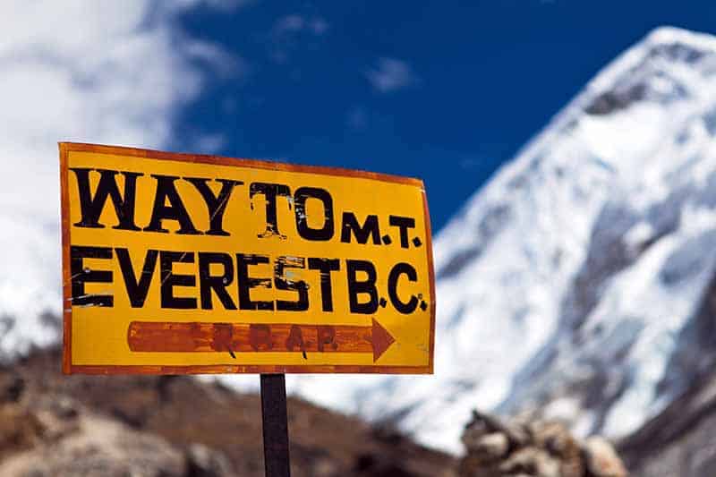
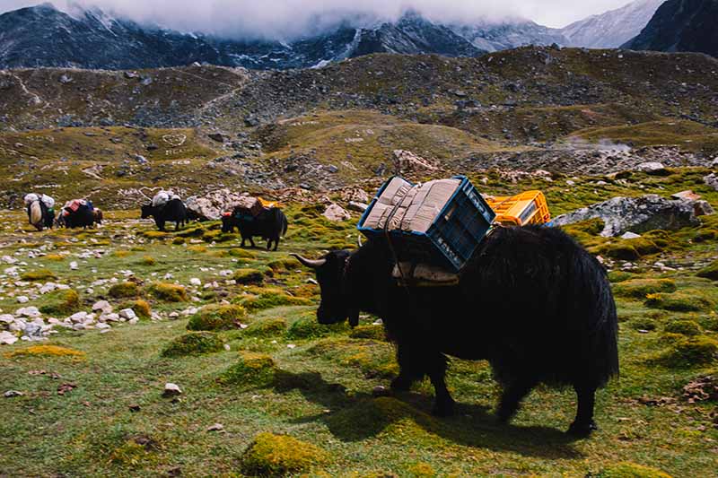
The Sagarmatha National Park is home to rare animal species such as snow leopards and red pandas – though it’s very unlikely you’ll encounter them. You’ll frequently have to step aside (to the uphill side!) as you encounter yaks on the trail.
Whether you choose to follow the traditional EBC route or one of the alternative trails, it’s guaranteed to be an experience you’ll never forget.
In contrast to most multi-day treks where you’d be camping in a tent, trekkers to base camp stay in cozy tea houses. You can find several available in a range of budgets, which function as both hotels and restaurants.
The trek is dotted with Buddhist monasteries and tiny villages almost all the way up. The relaxed pace of the trek allows plenty of time for you to explore the villages and get to know the local Sherpa culture.
Mt. Everest is increasingly covered in garbage left behind by the hordes of people who have set out to conquer its lofty heights. When you go, please respect the environment and do your best to minimize waste.
The most popular time of year to do the Everest base camp trek is between February and May – the pre-monsoon season.
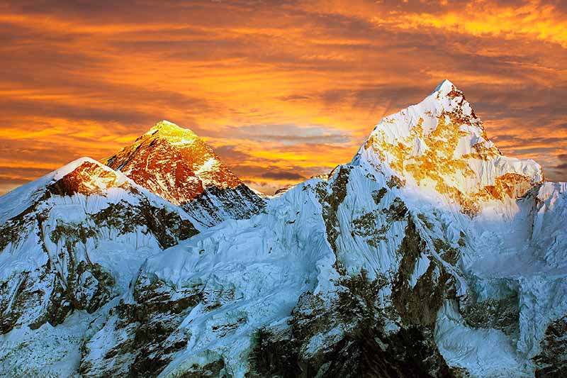
During these spring months, the weather is typically warm and dry and the mountains will be ablaze with colorful rhododendrons.
This is also peak season and while you’re unlikely to have the trails to yourself, you’ll enjoy a buzzing atmosphere at the tea houses on the way. This is also when most Everest climbers make their summit attempts.
The summer months bring the monsoon rains, resulting in slippery trails and a heightened risk of landslides. If that doesn’t deter you, the leeches and foggy weather might! It’s not recommended to attempt the trek in the summer.
It can also be difficult to fly into Lukla during the monsoon. Indeed, this is a good time to pick the Jiri trek over the classic EBC trek.

If you want fewer crowds, try going in September or October, the post-monsoon months, when you have the highest chance of clear skies, although temperatures are slightly colder.
You can even do the trek in the winter but be prepared for sub-zero temperatures most days and lots of snow.
Whenever you go, make sure you pack for unpredictable weather in case a snowstorm takes you by surprise.
Trekkers interested in the local culture might want to plan their trip dates around traditional holidays with celebrations in Kathmandu, such as Holi (February/March) or Indra Jatra (September).
Another thing to consider when planning your trip is flight prices, which can vary considerably. Check flights before booking as this might have a huge impact on when you want to go.
Lastly, be aware that it might be harder to find tour operators who provide treks in off-season months. Also, some of the paths might be closed.
Conversely, if you want a stab at actually sleeping in Everest Base Camp, then late spring is your best option. It will be rare to find tour operators who might be able to wrangle this.
Everest Base Camp Packing list
If this is your first multi-day trek, don’t forget to budget for all the equipment you’ll have to take with you.
You can choose between renting or buying your gear. Hikers who plan on doing more multi-day treks might want to invest in their own equipment.
If you’re doing a two-week trek, it makes more sense to rent your sleeping bag and down jacket. For trekkers who plan on trekking for a whole month, it makes more financial sense to buy.
The neighborhood of Thamel in Kathmandu offers plenty of options for buying and renting. However, the products on offer may be of questionable quality.
Further on, Namche Bazaar is a last-resort option if you find you’ve forgotten to pack any essentials. If you keep your receipts, then talk it over with the shop when buying. Some shops will buy your gear back from you, at the end of your trek, for a reduced price.
Almost everything available for sale along the trek has been carried up the mountain, either by yaks or people. This means things get more expensive the higher you go.
Packing strategically. This means bringing the items you can’t live without while avoiding overloading your backpack. Whether you hire a porter or decide to go solo, somebody will be lugging your things up the mountain. Indeed,think twice before including unnecessary items like an extra book or five spare shirts!
Aim to pack around 10kg if you’re carrying everything yourself, and 20-25kg if you’re getting help from a porter. Don’t forget that your water adds extra weight. Try packing your bag with full water bottles, to get a more accurate idea of how much you can bring.
This list is aimed at trekkers who will be sleeping in tea houses every night. Be aware that if you don’t book early enough, the tea houses may be sold out in high season.
If you think you might end up having to camp, Then you’ll need more supplies not covered on this list. Such as a winter insulated tent , sleeping pad , etc.
What to Wear
The clothes you pack will depend on which season you’re visiting in. Make sure you have enough clothing to keep warm, especially in the evenings.

Layers are crucial, as temperatures and weather conditions will change drastically between day and night and as you ascend and descend in altitude.
Tea houses often only heat the common areas, and then only in the evenings, so bring warm clothes for lounging around at night.
The higher you get, the less likely you are to have power in your tea house, or only for a few hours as they’re run off solar power .
Base layers: Your base layer should be comfortable and moisture-wicking. Stay away from cotton; go for merino wool or synthetics .
Pack a long-sleeved shirt (avoid short sleeves as you’re more likely to get sunburnt) and long underwear, if only for the cold evenings.
Fleece mid-layer: You’ll probably be putting this on and taking it off with every mountain pass. Indeed, try to find one that will fit easily into your day pack.
Outer layer: Get a down jacket with a good warmth-to-weight ratio, as you’ll be carrying it much of the time.
Waterproof windbreaker and pants.
Hiking pants: Well-insulated trekking pants , or trekking pants that can turn into shorts.
Waterproof hiking boots. We can’t stress enough how important it is to break your hiking boots in properly before your trek.
Don’t forget to bring a pair of comfortable sneakers or sandals for the evenings and for bathroom runs.
Socks: Woollen hiking socks are worth the investment – bring a few pairs that can handle very cold temperatures for the higher altitudes, and look for flat seams and padded spots to reduce blisters.
Sock liners and Vaseline are two other good ways to prevent blisters . You should also bring a pair of warm socks for base camp.
Gaiters: These will be especially useful during the rainier months.
Gloves : Pack a thin pair of “inner” gloves and a very warm pair of outer gloves. There will be at least one or two days where your fingers will freeze otherwise – for example, the day you summit Kala Patthar.
Scarf/balaclava/buff: The trail to EBC gets infamously dusty, provoking the “ Khumbu cough ” that plagues many hikers. A buff or something similar will keep you warm as well as provide you with a layer to breathe through to minimize the amount of dust in your lungs.
Beanie and sun hat , preferably with neck cover, to protect against the sun .
Underwear and sports bras: You’ll probably be reusing these, so get good-quality, non-cotton ones.
Accessories
Drinking water: Most tour operators provide purified water. Avoid bottled water, as this is expensive on top of being an environmental disaster.

We recommend bringing two big reusable water bottles (or a water bladder for drinking on the go). Tablets take a while to work and it’s nice to have one water bottle ready to drink while the other one is getting purified.
You can also fill a bottle with hot water and sleep with it in your sleeping bag if you’re cold during the night. If you’re purifying your own water, bring water purification tablets , LifeStraw , or a Steri-pen. But remember, these need charging, and charging on the trail costs money.
You may wish to add flavor enhancers to your water. Unfortunately, at Gorak Shep the water is very mineralized so you’ll need to buy bottled water.
Showering: Whether or not you shower is up to you. Expect to pay around $5 for a hot shower. Some people rely on wet or backpacking body wipes , especially since wet hair is no fun in negative temperatures!
Sunglasses: The combination of snow and altitude is brutal on your eyes, so invest in good polarized sunglasses with wraparound arms.
Sleeping bag : The teahouses will provide blankets and pillows but you’ll want your own sleeping bag and pillowcase.
Find a mummy sleeping bag rated to -20° C – or colder, depending on the season. Consider bringing a silk liner , especially if you’re renting your sleeping bag.
Toiletries: Sunscreen , SPF chapstick (this is better than lip balm as there’s no need to smear it on with your grubby fingers), quick-drying towel, tissue, baby wipes, period supplies, compressed toilet paper tablets or biodegradable toilet paper (remove cardboard and keep in ziptop bag), hand sanitizer, toothbrush and toothpaste, etc.
Always bring toilet paper with you. Most bathrooms are squat toilets and are located only in villages.
Tip : wet wipes are more expensive than toilet paper on the trail, so if you have to choose, stock up on wet wipes and buy toilet paper when you run out.
Shewee: Ladies, you’ll be glad not to have to pull your pants down in the freezing high-altitude weather. If you need to pee, then I recommend using a portable pee device, like PeeBuddy Reusable Female Urination Device . You stand and use the portable pee funnel, so you don’t need to squat.
If you get your period on the trail and you’re not comfortable with using the DivaCup, another good option is to keep used pads/tampons in a ziptop bag and dispose of them in the next garbage can.
Personal first-aid kit: Bring diarrhea meds, altitude meds, antibiotics, ibuprofen, paracetamol, aspirin, bandaids, blister plasters, tape/trekker’s wool, Vaseline, cough drops (to beat the Khumbu cough), cold medicine, rehydration salts.
Tour operators should provide the rest. Don’t forget to get your travel vaccines before you go.
TSA approved padlock for your luggage.
Backpack: What you pack your gear in will depend on whether you’re using porters. Most porters prefer you to pack your things in a soft-sided duffel bag. Check with the tour operator in case they provide these for you.
If you have a porter, then you’ll only need a daypack for yourself. If you’re not hiring a porter, then bring a collapsible daypack anyway in addition to your backpack. This is so you can leave your big backpack in the tea house during the one-day acclimatization hikes.

Try to get a backpack with straps for hiking poles and zippers to open it from the sides. Not to mention, you won’t have to dig everything out of your bag whenever you want to access something.
Dry bag or plastic cover for your backpack and daypack to prevent water ingress.
Hiking poles : These are a must! All the treks listed here will take you uphill, downhill, uphill and downhill again. Hiking poles will save your knees, and they’ll come in handy on slippery trails during the wet season.
Headlamp or flashlight : You’ll be glad to have this in the evenings after the power goes out, and during early-morning or late-night hikes. Remember to bring extra batteries.
Trekking map: If you’re going independently, a good trekking guidebook is essential – Lonely Planet is highly recommended.
Ziptop bags: These always come in handy for protecting electronics, etc.
Camera or GoPro with memory card and extra batteries.
Money: There are ATMs at select points such as Lukla and Namche Bazaar. But these have low daily withdrawal limits and high commission fees. What’s more, they have been known to take money out of your account without actually dispensing it to you.
Since currency exchange rates on the trail are sky-high, it’s best to bring a stash of local rupees with you. You’ll need rupees to pay for meals, showers, tips, etc.
Wi-Fi: A good option for staying connected is to buy a local sim card. It will give you data to about 4000m altitudes, and sometimes in EBC itself.
You can also check Everest Link for Wi-Fi data packages. The connection is supposedly available in most teahouses along the way, but it can be slow and unreliable so don’t depend on it too much.
Top Tip : Beware of phone updates. These will eat through your Wi-Fi and data limits before you realize what just happened!

Entertainment: EBC treks usually only schedule a few hours of hiking a day, to allow you time to acclimatize. Bring books, a Kindle , cards or other games for the many hours of downtime. Certainly, bring a journal so you can remember this once-in-a-lifetime experience!
Solar charger : Many teahouses offer power points where you can charge your devices for a nominal fee. Also, don’t forget to bring an adapter. It’s a good idea to bring your own solar-powered charger and extra batteries to minimize costs.
Tip : Keep batteries, base layers , and anything else you don’t want freezing in your sleeping bag with you overnight. Keep your phone in flight mode to save power.
Important documents: Bring printouts of your travel insurance information. And make sure one of your travel buddies knows what to do and whom to contact in case of an emergency.
Bring your passport, visas, money, etc. – I always keep these documents in a zip-top bag.
Trekking solo? Bring a safety whistle , compass , pocket knife , & duct tape, especially on the less-crowded trails
High-calorie snacks: These will make a huge difference to your experience. Snacks are exceedingly expensive on the trail, and they provide welcome calories on tough trekking days.
You’ll have to decide how many you want to bring and which ones you want to buy along the trail.
Cloth bags : Many trekkers use these to separate dirty laundry and organize different outfits.
Earplugs: You’ll be glad for these when the tea houses are alive with the sound of Khumbu coughs.
A Note on Trekking Insurance
Be very careful when purchasing travel insurance, because regular policies usually stop covering you once you ascend higher than 3,000m/9,840ft.

At these altitudes, you have a higher chance of getting Acute Mountain Sickness. Also, there’s a pretty good chance you’ll have to be airlifted out to a hospital for injuries . To clarify, injuries like a pulled muscle or twisted ankle at sea level can be more serious at higher altitudes.
Because of these higher costs and risks , insurance companies will charge you a premium for high-altitude trekking insurance.
Luckily, there’s no shortage of insurance companies that offer travel insurance specifically tailored to Everest Base Camp trekkers.
When purchasing a policy, make sure you’re covered for trekking up to altitudes of 6,000m/19,685ft. In addition, ensure it has search and rescue costs, preferably by helicopter.
Don’t forget to check if you’re covered for different travel-related illnesses (and make sure you get your vaccinations before going!).
It’s also nice to have compensation for delayed or canceled flights and repatriation in case of death (hopefully you won’t be needing this one).
Check the clause about lost, stolen or damaged luggage to see if it will cover most of the cost of your hiking gear.

If you’re traveling in winter or shoulder season, then check for trip cancelation insurance. This is to ensure you’re covered if your trek is canceled due to weather.
You’ll likely have other considerations depending on your personal situation. Don’t just take our advice for it – remember to do your research, ask questions and read the fine print of your travel insurance policy before you purchase.
I always keep my travel insurance information handy while on the trek. Additionally, I pass it along to someone else in my group. This is so they know whom to contact in case of an emergency.
Some travel insurance providers require you to confirm with them before ordering a helicopter. Check out this option on getting trekking travel insurance for more information.
How to Avoid Altitude Sickness
Most tour operators organize a relaxed trekking schedule and follow the mantra “climb high, sleep low”. In essence, this is to avoid the risk of altitude sickness.
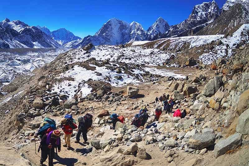
Take it slow – once you finish hiking for the day you’ll have a lot of dead hours in the teahouse. For this reason there’s really no point in racing there.
It’s important to respect the acclimatization days. The acclimatization hikes are designed to help you adjust to tomorrow’s altitude.
Try to drink 3-4 liters of water a day, as dehydration will make the altitude sickness way worse. It also goes without saying that you shouldn’t drink caffeine or alcohol or smoke during your trek.
If you can, then cut out these vices about a week before you start hiking. So that you won’t suffer from withdrawal headaches.
Many people swear by Diamox as a preventative drug against AMS. It’s your choice whether to take this or not. I personally found the tingling fingers and toes to be very off-putting, but it probably helped me acclimatize.
Altitude sickness is unpredictable and doesn’t discriminate based on fitness or age. Listen to your body and descend immediately if you think you have signs of Acute Mountain Sickness.
Check out our article on altitude sickness for a more detailed overview.
Choosing a Tour Operator
Every year there are rumors that the Nepali government will make it compulsory to go with a guide.. But so far, it’s still possible to undertake the trek to EBC on your own.

Unless you’re going in high season, you’ll can drop in at tea houses and get a bed without a reservation.
Independent trekkers can choose whether to hike all by themselves. While others choose between ring a porter, a guide, or a guide and a porter. A guide will speak some English and can help with booking accommodation. However, a porter probably won’t speak English and will only carry your bag.
You can also hire one person who acts as a guide and a porter. Another upside to hiring a guide is that you’ll be providing someone with a job. And in turn, you’ll get to immerse yourself in the Nepali culture.
Alternately, you can opt to join a guided trek with a tour operator. While this is pricier, it’s a good choice for people who have never done such a long, high-altitude trek before.
Tour operators typically arrange flights, airport transfers, accommodation, visas and permits, porters and guides. Western tour operators will usually charge more, but provide a more trustworthy service. You can expect to pay about twice as much for a Western tour operator.
Check to see if your tour operator is registered with the Trekking Agencies Association of Nepal (TAAN). TAAN regulates trekking agencies in Nepal to ensure fair treatment of employees, respect for local communities and preservation of the environment.
The Kilimanjaro Porters Assistance Project mission is to improve the working conditions of porters. They advocate for fair treatment and wages, lend free mountaineering clothing, and encourage them to work for only ethical companies. Through providing education and training opportunities, guides and porters have received classes on porters rights, Leave No Trace and are certified in First Aid.
Please make every effort to ensure the porters and guides are dressed properly, stay within the weight limit including their own luggage. Also, ensure they have adequate sleeping arrangements and insurance and are paid a fair wage.
It’s better to go with companies that employ their porters and guides full-time instead of freelance because there’s a better chance the company is providing them with benefits, sick days and health insurance.
Tipping is always a tricky subject and suggested rates will depend on whom you ask. Aim for around 15 percent of salary (if you’re traveling in a group, this number refers to the total pooled tip) per porter and/or guide, and adjust accordingly.
The classic Everest Base Camp trek winds through the Khumbu valley; once reaching Everest Base Camp, you’ll retrace your steps back down to Lukla for the return flight to Kathmandu.

If you’re interested in escaping the crowds or doing circular routes that don’t involve retracing your steps, there’s a variety of alternate routes to choose from.
You can also opt to tack small detours onto your classic EBC trek. This is especially doable if you’re traveling independently or in a small group.
You shouldn’t have any trouble booking your trek, even on the classic EBC trek.
Classic Everest Base Camp trek
The classic Everest Base Camp trek takes about 14 days, including time in Kathmandu before and after.
From Kathmandu, you’ll fly into Lukla Airport (2,860m/9,383ft) with its famously short runway – try to sit on the left side of the plane so you can catch your first views of Mt. Everest.
It’s a good idea to leave yourself a few buffer days, as Lukla flights are often delayed due to weather. Flights should be included in your tour price; otherwise they’re about USD 300, plus USD 100 for your guide’s ticket.
From the airport, you’ll trek to Phakding for the night.
The next day you’ll set out from Phakding and follow the Dudh Koshi River, crossing suspension bridges and pine forests until you reach the Namche Bazaar (3,440m/11,286ft), in the Sagarmatha National Park UNESCO World Heritage Site .
Namche Bazaar is the region’s principal trading point, so use this opportunity to stock up on supplies you might have forgotten. If you’re there on Saturday, then don’t miss the market. From here you can also catch a peak of Everest.
You’ll take a day to acclimatize in Namche Bazaar – you can make the most of the Wi-Fi, stock up on any supplies you forgot, check out the Sherpa museum or just tool around the village.
The day after you’ll follow the former Tibet-Nepal trading route via Thame to Tengboche. These villages are known for legendary views, where you can visit one of the region’s biggest monasteries .
Next you’ll hike through Phangboche to Pheriche while admiring the views of Ama Dablam. You might be interested to know that Pheriche is where the Himalayan Rescue Association makes its base – but hopefully you won’t need to use this information!
Most people stay in Pheriche for a day to acclimatize and visit local attractions like the Imja Lake or Dingboche village, which boasts views of Lhotse and Island Peak.
Now that you’re rested, you’ll be ready to tackle the trek to Lobuche, which features a 600m/1,969ft elevation gain. You’ll skirt the perilous Khumbu Glacier and witness the many memorials to sherpas and climbers who perished in their attempt to climb Everest.
From Lobuche you’ll set out towards Gorak Shep, which is the world’s highest permanently inhabited village.
Finally, it’s time to push on through the moraine towards Everest Base Camp! Since actual summiteers of Everest have priority, don’t expect to spend too long there or even be allowed inside the base camp itself.
But don’t worry, the adrenaline-filled atmosphere extends all the way down to the trekker stop point! From here you’ll go back down to Gorak Shep for the night.
You can’t actually see the peak of Mt. Everest from Everest Base Camp, so the next day you’ll make a steep ascent up to the summit of Kala Patthar (5545m/ 18,192ft) to catch amazing views of Everest, Nuptse (7,861m/25,791ft) and Lhotse (8,516m/27,940ft).
Most groups try to do this at sunset on the same day as they reach EBC, or at sunrise the next morning, when Mt. Everest sometimes turns pink in the early-morning light.
Forging on ahead, you’ll descend to Dingboche or Pheriche, and from there past Tengboche and back to Namche Bazaar the next day. Keep an eye out for the massive fields of wild rhododendrons if you’re visiting in the spring!
Your last day of trekking will take you back to Lukla, where you’ll spend the night before catching the flight to Kathmandu.
- Pros : Comparatively gentle altitude profile, can be done independently
- Cons : Have to retrace steps on the way down, can be crowded
- Length : ~130km (12-14 days)
- Highest point : Kala Patthar (5545m/ 18,192ft)
Gokyo Lakes Trek
The Gokyo Lakes Trek is popular for its beautiful glacial lakes , nestled in the quiet Gokyo valley.
Like the classic Everest Base Camp trek, the Gokyo Lakes trek starts at Lukla, breaking off towards the northwest at the Namche Bazaar.
This trek is considered slightly more challenging than the classic EBC trek, with steeper ascents and more time spent at high altitudes.
It takes 2-3 days longer, detouring around some of the most crowded sections of the classic base camp trek but still finishing at Everest Base Camp.
You’ll see glacial lakes and summit Gokyo Ri (5,357m/17,575ft) where you’ll earn views of Everest, Lhotse and Cho Oyu (8,201m/26,906ft).
Fly into Kathmandu, spend a few days acclimatizing and then take another flight to Lukla. The next day, you’ll trek down through the Dudh Koshi Valley to Phakding past several Buddhist sites.
Hiking through pine forests and along the Dudh Koshi River, you’ll cross several suspension bridges including the Hillary Suspension Bridge. After entering the Sagarmatha National Park, you’ll continue hiking until the Namche Bazaar.
You’ll then separate from the classic EBC trek and head northwest towards Dole along the Dudh Koshi valley. You’ll get some of the first views of Everest, Lhotse and Ama Dablam today.
The next day brings a steep climb towards Machhermo, which is populated with yaks in the summer.
Allow yourself a day to acclimatize and enjoy views of Ngozumpa Glacier (the biggest glacier in the Himalayas). Once you’ve enjoyed the glacier, trek to the Gokyo lakes and you’ll eventually reach Gokyo village. If you are tired by now, you’re in luck because this is where you’ll bed down for the night.
This is another popular time to take an acclimatization rest day and explore the surrounding lakes, or summit Gokyo Ri, which stands almost 5,500m/18,045ft above sea level.
Stop to take in the stunning views of Everest, Lhotse and Cho Oyu, then continue back down to the Ngozumpa glacier and on into Dragnag.
The next day is a tough one. You’ll traverse Cho La, one of the “Three Passes” (5,420m/17,782ft), cross a glacier and then spend the night in Zonglha.
Joining up with the classic EBC trek, you’ll stop for a moment of reflection at the memorials to sherpas and climbers who perished in their attempts to climb Everest, and then continue on to Lobuche for the night.
From Lobuche, you’ll skirt the Khumbu glacier, hiking up past Gorak Shep and finally you’ll reach Everest Base Camp! Enjoy it while it lasts, because the priority at EBC is the Everest summiteers, especially in the spring months.
You’ll hike back down to Gorak Shep alongside views of the Khumbu icefall . Part of the highest glacier on Earth, the icefall’s deadly crevasses, unstable seracs and unpredictable avalanches have taken dozens of lives.
The next day you’ll hike up Kala Patthar, with more views of Everest and the neighboring mountain peaks, and then down to Dingboche along the classic EBC route.
It’s time to return to Namche Bazaar. The day after you’ll hike back to Lukla through the Dudh Koshi valley, and then fly into Kathmandu.
Because the trek is longer, expect to pay more than you would for the classic EBC trek. Trekkers are advised not to attempt this trek independently, due to the increased difficulty and the fact that there are fewer people on the routes.
Like the classic EBC trek, the best time to go is during spring or fall. Because the trek isn’t as popular, you shouldn’t have to worry about crowds for most of the way, so feel free to go during peak season.
- Pros : Fewer crowds, more challenging, more sights, get to summit a peak, see the world’s highest freshwater lake system, prettier landscapes than classic trek, circular route so no need to retrace steps
- Cons : More expensive than classic EBC trek
- Length : ~220km/136 miles (16-17 days, including a few days in Kathmandu before and after)
- Highest point : Kala Patthar (5545m/18,192ft)
Jiri to Everest Base Camp
This old-school route mirrors the route taken by the first Everest summiteers in the 1950’s, starting with an 8-hour bus ride from Kathmandu to Jiri instead of flying into Lukla.
From Jiri, you’ll pass through the towns of Sete, Junbesi and Numtala in the Solu Khumbu region.
After reaching Lukla, you’ll join up with the classic EBC trek, passing through Phakding, Namche Bazaar, Tengboche, Pheriche and Gorak Shep.
In total, the Jiri route takes about 5-6 days longer than the classic route.
Jiri route trekkers will have the chance to spend a lot more time with the locals. You’ll also spend more time at low altitudes – the route starts at just 1,800m/5,905ft above sea level – meaning landscapes will forests and streams with actual running water.
Much of the trek is off the beaten path, with fewer crowds than the EBC classic trek.
Tool around Kathmandu for a day and then take an 8-hour (190km/118 mile) bus ride, following the Sun Koshi River to Jiri and then Shivalaya.
The next day, you’ll cross a suspension bridge over the river and then explore several tea houses. Go through the Deorali Pass, taking a moment to check out the prayer flags and decorated walls, and then head down to Bhandar for the night.
From Bhandar, you’ll walk through fields and forests before embarking on a steep descent t
owards the village of Kenja. Uphill again, you’ll traverse the Lamjura Pass and arrive at the town of Sete.
The next day, you’ll return to the Lamjura Pass and pass through magnificent fields of pine trees, magnolia and rhododendrons. Without a doubt, you’ll appreciate the stunning mountain views. Next,hike down the other side and you’ll arrive at the town of Junbesi.
Back into the forest, you’ll see Mt. Everest for the first time. You’ll then cross the Ringmo Khola suspension bridge and arrive at the village of Ringmo with its gorgeous Tibetan architecture. Another forest and you’ll be at Nunthala.
In the morning, you’ll head out towards the Dudh Koshi River, crossing another impressive suspension bridge on your way to Bupsa.
The next few days will take you to higher altitudes as you pass through forests with monkeys and several small villages.
Arriving in Lukla, you’ll join up with the classic EBC trek. After reaching Everest Base Camp, you’ll summit Kala Patthar for the obligatory views of Mt. Everest at dawn and then return through Gorak Shep, Namche Bazaar and finally Lukla, for your flight back to Kathmandu.
Like the classic Everest trek, the Jiri route is best undertaken in spring or fall. Caution: some parts of the Jiri trek may be closed in the winter, so we don’t recommend going during this season.
The Jiri route is only slightly more difficult than the classic Everest Base Camp route, due to its longer duration.
The average day of hiking comprises 5-6 hours, covering about 15km/9 miles. On the bright side, due to the more gradual ascent compared with the classic trek, you’re less likely to get altitude sickness.
- Pros : More authentic, less touristy, chance to see Solo Khumbu landscapes (terraced farmland, forests, Dudh Koshi river, sherpas), gradual acclimatization
- Cons : 8-hour bus ride (but scenic!)
- Length : ~250km/155 miles (22 days, of which 18 days of trekking)
- Highest point : Kala Patthar (5,545m/ 18,192ft)
Three Passes Trek
As you might infer from the name, the Three Passes trek takes you across three high mountain passes (all higher than 5,000m/16,400ft). Thus, making it more difficult than the classic EBC trek.
After reaching Namche Bazaar, the Three Passes trek splits off from the classic trek. This takes you towards Thame and the Nangpa Valley. The trek takes around 19 days in total, of which 14-15 will be spent trekking. Getting a guide is highly recommended.
After flying into Lukla from Kathmandu, you’ll work your way down to Phakding.
The next day will take you across several suspension bridges on the way to Namche Bazaar. You’ll be there for a day of acclimatizing. After which you’ll split off from the classic EBC route and head to Thame.
Crossing the Bhote Koshi river, you’ll reach Lumde and catch your first good views of the mountain peaks. The next day, you’ll tackle the first pass.
The Renjo La (5,360m/17,585ft) lies near the Dudh Koshi valley and will reward you with views of Everest. Then you’ll pass the Gokyo lakes and the village of Gokyo, where you’ll summit Gokyo Ri and catch sight of Cho Oyu.
After spending some time acclimatizing in Gokyo, you’ll walk across the Ngozumpa Glacier. This is Nepal’s largest glacier, and you’ll then spend the night in Dragnag.
The next day is notorious. You’ll traverse the next pass, Cho La (5,420m/17,782 ft), which has a glacier and prayer flags at the top. On the other side of the pass lies Zonglha.
Joining back up with the base camp trek, you’ll visit Lobuche and Gorak Shep and take in views of the Khumbu Glacier, Everest, Lhotse and Nuptse.
You’ll explore Everest Base Camp and summit Kala Patthar before retracing your steps back through Gorak Shep and Lobuche.
The trek keeps on going, past the Kongma La pass (5,535m/18,159ft), down into the Chukkung valley and up to the summit of Chukking Ri (5,550m/18,209ft) with more mountain views.
You’ll trek through Dingboche, with its views over the Khumbu Valley. Eventually, you hike down through the rhododendron fields and the village of Khumjung, ending back at the Namche Bazaar.
From here you’ll cross the Dudh Koshi, following the classic EBC route back down to Lukla.
This trek can also be done backwards; it’s up to you whether you want to head clockwise or counter-clockwise after the Namche Bazaar.
Many people recommend doing the trek counter-clockwise to avoid crossing the difficult Renjo La Pass right off the bat.
You’re best off doing this trek with a tour operator, as it’s quite off the beaten path.
- Pros : See a little bit of everything, uncrowded trails, challenging elevation profile
- Cons : Riskier terrain than classic EBC trail, long stretches with no facilities
- Length : ~21 days (150km/90 miles)
- Highest point : Chukking Ri (5,550m/18,209ft)
Island Peak (Imja Tse)
Experienced trekkers who wish to try their hand at mountaineering might be interested in summiting Island Peak (6,189 m/20,305 ft).

To master the glaciers and icy headwall during the ascent of these peaks, you’ll need to use crampons, an ice ax and potentially a ladder and ropes to cross the crevasses, depending on the weather.
Tour operators claim you can learn these skills on the fly, but it’s better to have some prior mountaineering experience before you tackle these routes, which are significantly more challenging.
That being said, Island Peak is a relatively “easy” climb as far as climbs go, so it’s a good option if you’re looking to expand your repertoire.
Since a detailed itinerary of Island Peak is outside the scope of this article, be aware that the general packing list doesn’t include the specialized mountaineering equipment you need for this trek.
Likewise, ascending Island Peak takes you above 6,000m and will probably not be covered by standard travel insurance providers, so check with your local mountaineering association for options.
Practical Information
What will I eat? How much will the trip cost? These are the questions most frequently asked.
As a general rule, the tea house lodgings themselves are very, very cheap with the condition that you eat dinner and breakfast in the same lodge.
This is where your costs will really add up – food is very expensive – so check with your tour operator when booking to see if meals are included.
Food on the trek is repetitive but nourishing. The meals are carb-heavy – think pasta dishes, dahl baht or “sherpa stew” with veggies and noodles.
What other trek offers the convenience of stopping in at a tea house or bakery for a hot lunch or freshly baked pastry? Just be prepared for stretches where you won’t see a tea house for several hours.
Hot drinks are readily available, and a popular treat is a deep-fried Mars bar. Don’t leave without trying one!
Most people recommend going vegetarian during the trek. Sagarmatha National Park has a no-kill policy so all meat has to be carried up by porters or yaks and is never very fresh, so there’s a real risk of getting sick.
Much of the garbage that’s disposed of in the villages ends up getting burned on-site, which really makes you consider the impact of your waste.
Before wantonly throwing plastic into the garbage cans, try to reduce what you use and pack out as much as you can.
The budget for your trip will vary widely depending on whether you’re trekking independently or going with a tour operator.
If you are booking with a tour operator, the flight price and permit prices should be included – usually you’ll have to pay for your guide’s flight as well.
Tour prices run from about USD 1000 to 3000 depending whether you go local or get a Western tour operator.
Budget around USD 400 for the flight from Kathmandu to Lukla Airport, including your guide’s ticket. If you go independently, consider getting help from a local agency for buying your flight tickets.
Flights have a way of being overbooked and you’re more likely to get on the plane if a local agent is vouching for you. On this note, factor in a few buffer days for your flight from Lukla back to Kathmandu, in case of weather or overbooking delays.
Nationals of all countries except India will need a visa to enter Nepal, which costs USD 25 for 15 days, USD 40 for 30 days and USD 100 for 90 days.
You’re best off getting the 30-day visa even if your trek is only scheduled to take two weeks, as weather and other factors might extend the trip unexpectedly. For the most part, you can get your visa when you land in Nepal.
It used to be mandatory to purchase a Trekkers Information Management System (TIMS) card, but the laws on this are constantly changing and there is a new local tax being charged, so check before you go unless your tour operator is arranging paperwork for you.
You will need a Sagarmatha National Park entry permit, which you can get ahead of time or at Monjo, when entering the park.
The price of the permits will normally be included in the trip price if going with a tour operator. Bring several passport photos for the permits.
All Set: Are You Ready?
The name “Everest” may sound intimidating, but this is actually one of the more approachable multi-day treks out there.

If you have a reasonable fitness level and are comfortable walking uphill for several hours a day carrying a heavy backpack, then you should be able to complete the trek. The key is to go slowly to avoid altitude sickness.
You don’t need special mountaineering know-how or an incredible level of fitness. The hike to EBC is a relaxed one, as hikes go.
The pace is slow, to allow you the time to acclimatize, so you’ll have plenty of free hours to peruse the village cafés, tuck into a slice of apple pie and snuggle up with a good book or make friends over a game of cards back at the teahouse.
That being said, of course it’s a good idea to prepare for the trek by hitting the gym in the months prior to your departure, and plenty of practice hikes starting two months before you go.
Don’t forget to practice hiking with a heavy backpack on! Check out this article for more tips on preparing for an uphill hike .
In total, the trek is around 130km/81 miles round trip, with an elevation gain of 2,685m/8,809ft between Lukla (2,860 m) and Kala Patthar (5,545 m).
It’s usually done in just under two weeks, including rest days for acclimatization. The outward leg will take longer and you can expect to trek 5-6 hours per trekking day, covering an average of 15km/9 miles.
The hike from EBC back to Lukla will go much faster since you’ll already be acclimatized.
Plenty of people with no prior trekking experience manage to complete the EBC trek and you can too! Like any non-technical trek at altitude , the key is a proper pace, a decent level of fitness and most of all, a good attitude!
Have you been trekking in Nepal? Let us know about it in the comments section below!
Disclaimer : This post is for information only and is not intended to replace the advice of an experienced guide. Always do your research and check with local weather stations, etc. before attempting to undertake treks in the wild. Distances are approximate and routes may vary depending on your tour operator.
Photos via Depositphotos.
Recommended Reading: 21 Best Camping Games for Adults For a Memorable Trip
- Insider’s Guide to Hiking Machu Picchu
- Inspirational Mountains: Exciting Summits for Ordinary Hikers
- Climbing Kilimanjaro: Everything you Need to Know
- Four Pass Loop (This Hiking Trail Should Be at the Top of Your List)

How to Choose the Best Camp Shower According to Campers

Best Insulated Tents for Winter Camping

Top Picks for 2024: Discovering the Best Camping Kettle for Your Outdoor Brews

Kilimanjaro Packing List

Hiking Gear for Women – 7 Essential Items Every Woman Needs on A Hike

How to Choose a Bivy Sack for Your Next Adventure

How to Wash Dishes While Camping
Top 10 Portable Grills for Camping in 2024: Unveil the Best Outdoor Cooking Companions

Best Mess Kits for Backpacking and Camping
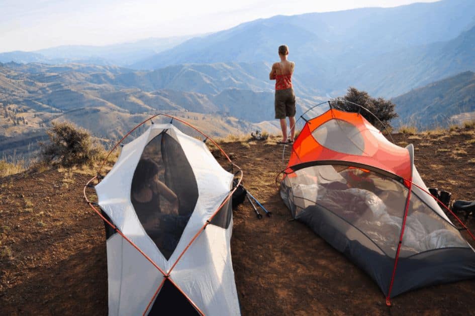
Best Lightweight Tent for Backpacking for 2024

Footprint Tent vs Tarp – Which One Holds Up Better?

The Best Campfire Cooking Kit – Master The Outdoors

The Ultimate Guide to Choosing the Best Backpacking Towel for Your Next Trip
Last update on 2024-04-25 / Affiliate links / Images from Amazon Product Advertising API
Submit a Comment Cancel reply
Your email address will not be published. Required fields are marked *
Save my name, email, and website in this browser for the next time I comment.
This site uses Akismet to reduce spam. Learn how your comment data is processed .

- Best Hikes In The World
- Appalachian Trail
- European Hikes
- Nepal Hikes
- Patagonia Hikes
- See All Hikes
- Mount Kenya
- Mount Kilimanjaro
- Mount Toubkal
- See All Mountains
- South Africa
- New Zealand
- Switzerland
- United Kingdom
- Packing Lists
Everest Base Camp Trek – Nepal’s Most Famous Trek
Asia , Nepal
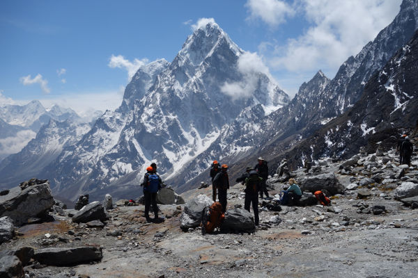
The Everest Base Camp Trek is one of the most popular and best treks in Nepal .
Home to four of the six highest mountains in the world – Mt. Everest (8,848 meters), Mt. Lhotse (8,516 meters), Mt. Makalu (8,470 meters) and Cho Oyu (8,201 meters) – the Everest (or Khumbu) region affords trekkers the opportunity to hike in one of the grandest and most awe-inspiring trekking areas in the world.
Trekkers get to retrace the footsteps taken by Sir Edmund Hillary and Tenzing Norgay on their historic Everest expedition in 1953.
On this page, you will find a comprehensive and impartial guide to the Everest Base Camp Trek.
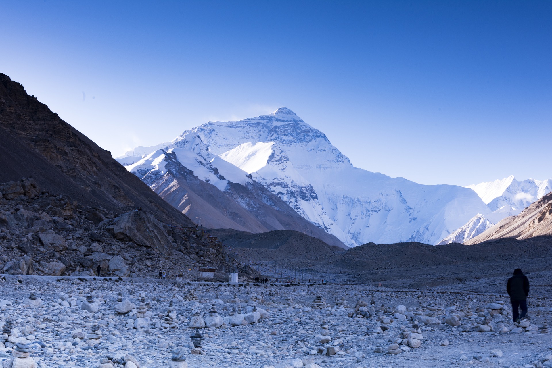
Everest Base Camp Trek
Ebc hike overview.
In this detailed Everest Base Camp trek article, you will find information on the typical route and its variations; a day-by-day itinerary breakdown of the trek; practical information on accommodation, meals, permits, equipment and insurance; as well as guidance on the best time to trek Everest Base Camp.
Key Highlights
Highlights on the trek include: unforgettable mountain views from Kala Patther , including Mt. Everest; the chance to see the famous Everest region Sherpas and Sherpa town – Namche Bazaar; sightseeing in the Sagarmatha National Park – a World Heritage Site; glimpses of the highest Buddhist monasteries in the world; and a sneak preview into the inner workings of the base camp to the world’s highest mountain.
Everest Regional Map
The Everest Base Camp trek is situated in the Everest, or Khumbu region of Nepal (see map below). It is the most popular trek in the region, if not the country.
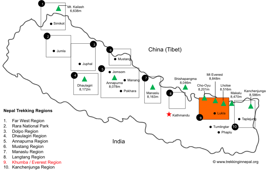
EBC Recommended Map
This map is one of the better representational schematics of the Everest Base Camp trail (we believe it is from GlobeTrekker but can’t be certain as there are many maps scattered across Google Images).
The map above shows the classic Everest Base Camp trek running up from Lukla to Namche Bazaar and then veering North-east up to Periche / Dingboche. From Dingboche / Periche the trail turns North-west to Lobuche before heading north gain to Gorak Shep. From here Everest Base Camp can be seen to the East and Kala Patthar in the North-west.
The map also shows the route to Island Peak in the East, via Dingboche and Chhukung, and the Gokyo Lakes in the West.
Please Note: The above recommended map is not to scale and should not be used as an accurate representation of the Everest Base Camp trek route. We provide links below to excellent maps of the Everest region.
EBC Trek Itinerary
Most trekkers fly from Kathmandu to Lukla Airport to begin their Everest Base Camp trek. The ‘classic’ or typical route follows straight up the Khumba Valley and through the Sagarmatha National Park to Everest Base Camp.
Variations via Gokyo Lakes or Chhukhung Valley are also popular (see the variations section below).
The typical Everest Base Camp trek duration is between 14-16 days (including transfers between Kathmandu and Lukla). The trek itself (excluding sightseeing in Kathmandu and transfers) usually lasts about 12 days with acclimatisation days at Namche Bazaar and Pheriche.
Here is a brief overview of a typical itinerary on an EBC trek, with approximate trekking times and altitudes.
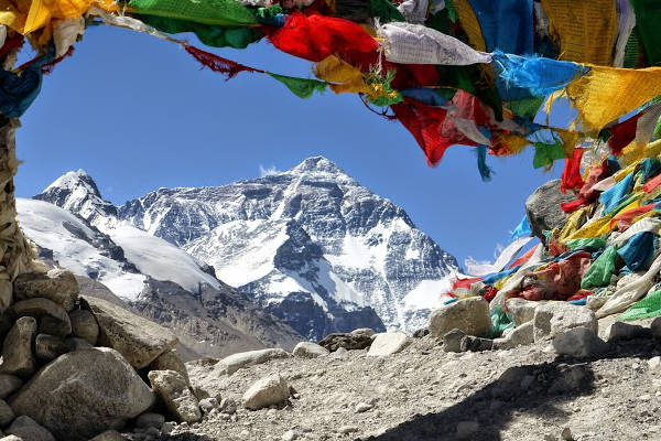
Day 1: Arrive Kathmandu
Arrive in Kathmandu. Rest and tour Kathmandu (often your tour operator will have pre-organised tours around Kathmandu).
See more in our guide on things to do in Kathmandu .
Day 2: Fly Kathmandu to Lukla. Trek to Phakding
Fly from Kathmandu to Lukla (expect a slightly scary landing at Lukla but rest assured the pilots are very experienced!). Weather can sometimes be a problem, so delays are common.
The flights afford great views of the Everest region, so have your camera ready. Try to sit on the right side of the plane to see Mt Everest. Upon arrival you will be transported to the trailhead and take a relatively easy trek from Lukla (2,800 meters) to Phakding (2,652 meters).
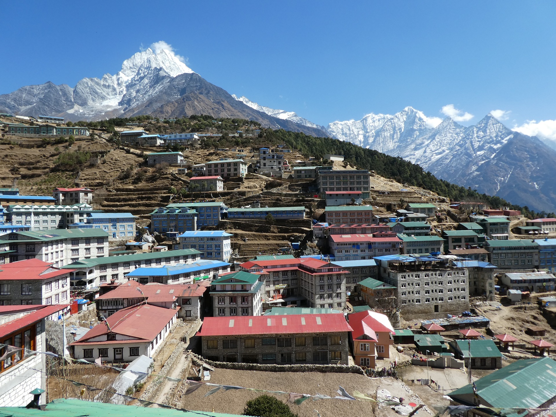
Namche Bazaar, Khumbu District
Day 3: Trek from Phakding to Namche Bazaar
Phakding (2,652 meters) to Namche Bazaar (3,440 meters) via Monjo (2,840 meters) and the beginning of Sagarmatha National Park. Weather permitting you might get your first glimpses of Mt Everest from the steep trail to Namche.
Day 4: Acclimatisation in Namche
This is usually a rest acclimatisation day in Namche (3,440 meters). If you are lucky enough to be in Namche on a Saturday, then make sure to visit the weekly market. Most operators will encourage you to take an acclimatisation trek to the Everest View Hotel (3,880 meters) where you can have lunch and capture views of Mt. Everest.
Day 5: Trek from Namche to Tengboche
Trek from Namche (3,440 meters) to Tengboche – also written Thyangboche (3,860 meters), home to the largest gompo (a Buddhist ecclesiastical fortification of learning). The trek is an undulating one which provides great views of beautiful mountains including Everest, Nuptse, Lhotse and Ama Dablam. Some treks go via Thame to visit the Thame Monastery, before continuing to Tengboche.
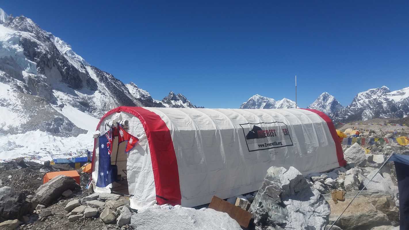
Day 6: Trek from Tengboche to Periche
Trek from Tengboche (3,860 meters) to Periche (4,280 meters) via the town of Pangboche. The Himalaya Rescue Association are based here, and it is well worth visiting them if your operator hasn’t already organised a tour.
Day 7: Acclimatisation day in Periche
Periche (4,280 meters) is usually used as the location for your second rest and acclimatisation day. Depending on your operator you will likely visit the Tshola Tsho Lake and then take a short trek towards Dingboche (4,360 meters) where you will get great views of the south face of Mt. Lhotse and Island Peak.
Day 8: Trek from Periche to Lobuche
A fairly long and steep trek from Periche (4,280 meters) to Lobuche (4,940 meters) via the Khumbu Glacier. You will see Sherpa Memorials built of stone cairns in remembrance to the many Sherpas and climbers that have died climbing Everest.
Day 9: Trek from Lobuche to Gorak Shep
Trek from Lobuche (4,940 meters) to Gorak Shep (5,170 meters) where you will have lunch and then onto Everest Base Camp (5,364 meters).
Most treks are not allowed to stay at Everest Base Camp without specific permission. The rules and regulations have changed around this issue over recent years, so it is worthwhile checking with your tour operator.
Visits to the icefall require mountaineering permits and are usually not part of a standard Everest Base Camp trek. After visiting Everest Base Camp you will return to Gorak Shep for the night.
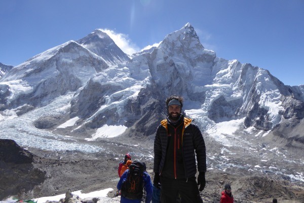
Kala Patthar
Day 10: Trek from Gorak Shep to Kala Patthar and EBC (Return to Dingboche)
A trek from Gorak Shep (5,170 meters) up the steep slopes to Kala Patthar (5,554 meters), a peak west of the Everest Base Camp which affords the best views of Mt. Everest, Nuptse Nup II and Changtse; as well as the northern flank and summit of Lhotse. You will leave Gorak Shep early to reach Kala Patther before the clouds roll in.
On a typical Everest Base Camp trek, Kala Patthar will be the highest altitude you will reach. It is also home to the worlds highest webcam – Mount Everest Webcam. From Kala Patthar, you then descend all the way back to Dingboche (4,360 meters).
Day 11: Trek from Dingboche to Namche
Trek from Dingboche (4,360 meters) to Namche (3,440 meters) via the rhododendron forests around Tengboche.
Day 12: Trek from Namche to Lukla
Trek from Namche (3,440 meters) all the way back to Lukla (2,800 meters) – a long and tiring walk to finish what is an incredible Himalaya trek.
Day 13: Fly from Lukla to Kathmandu
Fly from Lukla to Kathmandu.
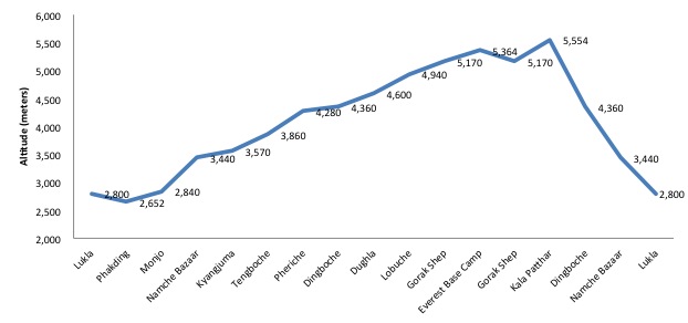
EBC Route Altitude Profile
Above is an altitude profile chart for a typical Everest Base Camp hike. The highest peak is Kala Patthar, at a staggering altitude of 5,554m.
Everest Route Variations
Below are typical route variations for the Everest BC hike.
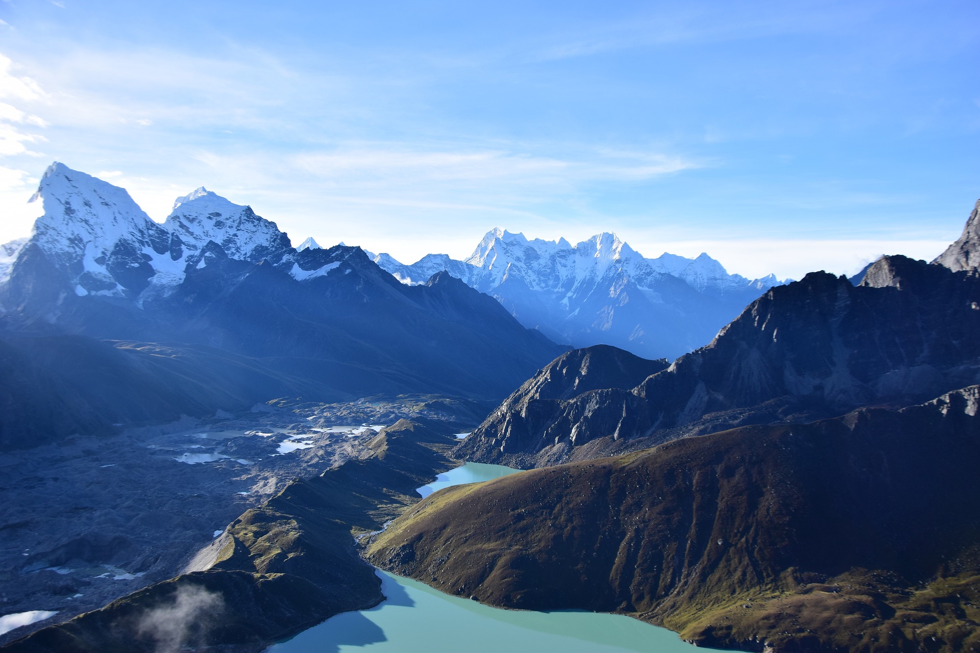
Gokyo-Ri glacier
Gokyo Lakes
The Gokyo Lakes or Gokyo Ri Trek is a fantastic variation on the Everest Base Trek. The route begins in Lukla and follows the traditional EBC trek itinerary for the first three days up to Namche Bazaar. Here it veers off to the North-west via the towns of Dole and Machemo, up to the stunningly beautiful Gokyo Lakes . The trail then ascends Gokyo Ri (5,483 meters) and traverses Cho La Pass (5,420 meters) before joining back up with the classic base camp trek at Lobuche.
The variation adds 2-3 days to an average Everest Base Camp trek but provides an excellent opportunity to avoid the crowds on the busy everest trail, as well as gives one the opportunity to trek up and down on different routes.
Chhukhung Valley
The Chhukhung Valley sits east of Dingboche and provides an alternative and longer passage to Lobuche than the traditional Everest Base Camp trail. Trekkers stay a night in Chhukhung (4,730 meters) before returning to Lobuche via Kongma La Pass (5,535 meters), an epic Himalayan pass .
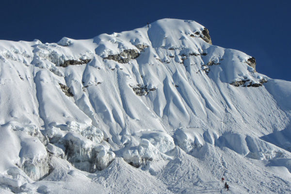
Island Peak headwall
Island Peak
Island Peak is one of Nepal’s 33 trekking peaks. Standing at 6,189 meters, Island Peak is a real challenge in terms of altitude, but only requires beginner level climbing skills (you will need to be comfortable with ice axes and crampons though). Most climbers use the traditional Everest Base Camp trek to acclimatise for Island Peak.
Returning from Everest Base Camp, you can either trek to Cchukhung via Dingboche from Lobuche or veer South-east from Lobuche traversing the Kongma La Pass to Cchukhung (4,730 meters). From here you can trek to Island Peak Base Camp (5,120 meters) in preparation for their trek / climb up to Island Peaks summit. The summit typically takes 2 days and the total trip, including Everest Base Camo, between 18-20 days.
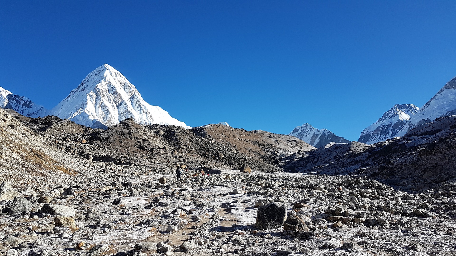
Everest Base Camp Trek FAQ
How much does the ebc trek cost.
Like many treks in Nepal, there are three ways you can plan your Everest Base Camp trek. See more in our guide on a detailed breakdown on the cost of an Everest Base Trek .
Below are four options for Everest Base Camp treks and their estimated costs.
Independent Trekking
Here you organise your trek. You will need to get yourself from Kathmandu to Lukla (a flight is the fastest and easiest; there are buses but these are rather unpleasant). You can employ the services of a porter or guide in Lukla or indeed in Namche, but it is important to note that as an independent trekker, it is illegal to use a guide or porter that is not licensed as a trekking agent through TAAN, or affiliated with a licensed trekking agent. You will need a Green TIMS card (costing NPR 2,000), money to buy food and water, a reliable and accurate map, and negotiations skills to book teahouse accommodation.
The estimated cost for an independent trek excluding flights is between $500-$800.
Local Tour Operator
There are many local tour operators in Kathmandu who organise guided Everest Base Camp treks. Generally local Nepal trekking companies are quite good. You will join a group of trekkers (up to 15 people) and have a team of porters, assistant guides and lead guides (who can speak English) of a similar size to the trekking group.
It is important to check that your local operator is a licensed trekking agent. We recommend shopping around and asking for recommendations from other trekkers. The cheap local operators tend to be the least reliable, often only providing tent accommodation or access to old and poorly run teahouses. Their ethical standards towards staff and the local environment may not be to the highest standard as well.
The estimated cost for an Everest Base Camp trek organised by a local tour operator is between $800-$2,000.
Western Run / Operated Tours
There are many Western run companies that offer Everest Base Camp treks. Most of these Western companies have their own ground teams or strong relationships with the best local tour operators who they outsource their on-the-ground operation to, whilst managing the overall tour experience.
The best Western companies own their on-the-ground operations. Expect a well-run tour with either a Western guide or a very well-trained local guide who understands the subtle service nuances expected of a Western trekker.
The estimated cost for an Everest Base Camp trek organised by a Western run tour operator is between $1,200-3,000.
Everest Climbing Expedition
A fourth option of joining an Everest climbing expedition is also possible. Major climbing operators like Adventure Consultants, Jagged Globe or Alpine Ascents usually offer Everest Base Camp trekking spaces on their Everest climbing expeditions. Securing a trekking space can be a little pricey but offers one an incredible insight into an Everest expedition as well as the chance to spend a night or two at Everest Base Camp.
If you think a base camp trek is expensive, wait till you hear how much it costs to Climb Mount Everest !
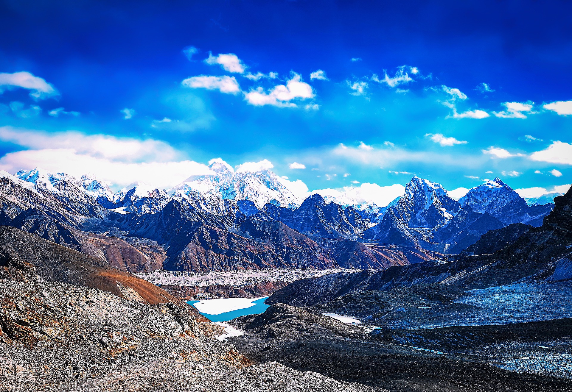
Are permits required for the EBC trek?
Yes, there are two permits you require for standard treks from Lukla to EBC. They are:
1. Trekkers Information Management System (TIMS Card)
TIMS cards are issued by the Tourism Agency Association of Nepal (TAAN). There are three different types:
- Organised TIMS Card (Blue in colour, USD 10). If you are trekking with an organised tour these will be arranged for you. You will need to provide your passport number and one passport photograph
- Individual TIMS Card (Green in colour, USD 20). If you are trekking independently (without support) you will need to get one of these TIMS cards from the Nepal Tourism Board in Kathmandu
- SAARC Country TIMS Card (Red in colour, USD 3). These cards are for nationals from the South Asian Association for Regional Cooperation, i.e. India, Bhutan, Pakistan, Sri Lanka, Maldives, Bangladesh and Afghanistan.
2. Sagarmatha National Park Entry Permit (USD 30 + 13% Govt. Tax)
The Sagarmatha National Park or Solukhumbu is the region through which the EBC trek runs. A National Park entry permit is required to enter Sagarmatha. Permits can be acquired at the first checkpoint along the route, north of Lukla called Monjo. The cost is US$30 + 13% tax for trekkers using a trek operator or agency, as well as for independent trekkers. Permits can also be acquired in Kathmandu, but we recommend getting it in Monjo as it is more straightforward.
For treks from Jiri to Everest Base Camp, there is another permit required called the Gaurishankar Conservation Area Project permit. It costs US$20 (no discount for independent trekkers or SAAEC nationals). The checkpoint is at at Shivalaya (just after Jiri). We recommend getting the permit in Kathmandu before departing as the cost is double if they have to issue the permit in Shivalaya.
As a rule of thumb, we recommend bringing at least 4 passport size photographs for all your permit requirements.
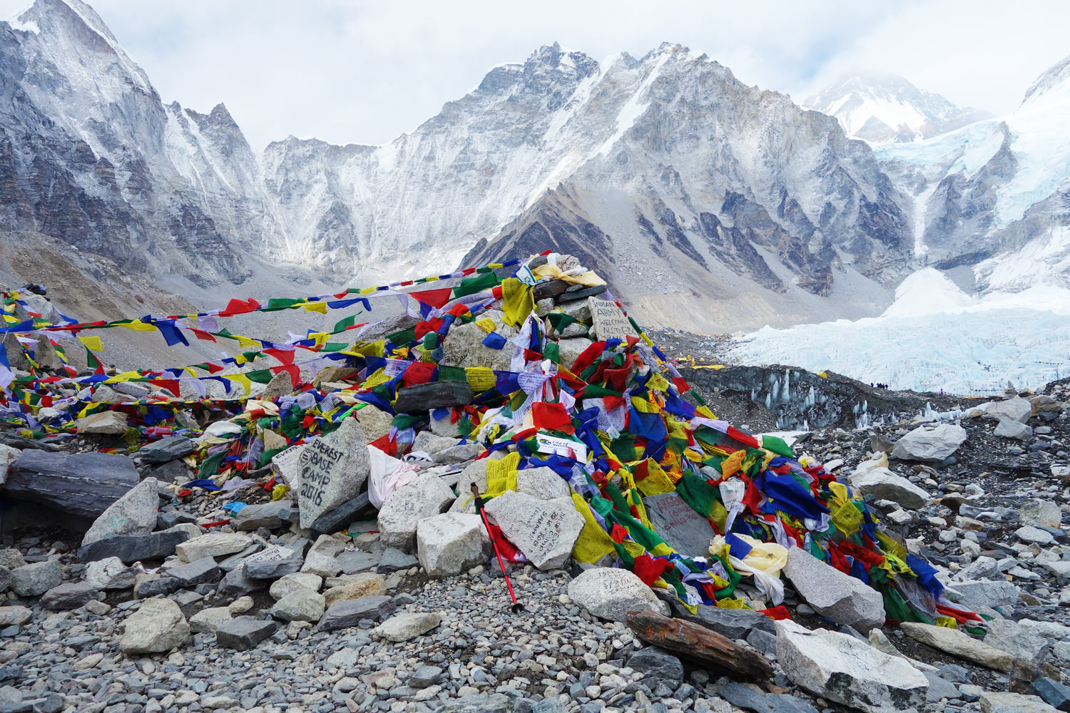
When is the best time to trek to Everest Base Camp?
The best time to trek Everest Base Camp is during the dry and warm months of September through November of March through late May / Early June.
The monsoon rains arrive in mid-late June and get into full swing for the months of July and August (as seen in the average rainfall map below). The route is really too wet for trekking and you would be better placed to explore treks in rain shadow areas like the Upper Manang, Mustang, Annapurna or Dolpo region.
December, January and early February are very cold. Treks run during these periods but be prepared for freezing temperatures and possible snow flurries. The upside is that the route is a lot quieter than in the peak seasons.
The chart shows average temperatures and rainfall in Nepal (data from 1960-1990 compliments of the Climate Change Knowledge Portal at the World Bank ).

Is altitude sickness a risk on the Everest Base Camp hike?
Yes, altitude sickness is a risk on the Everest Base Camp route. The trek takes one from a moderately high altitude, 2,800 meters in Lukla, to high altitude, over 5,300 meters at Everest Base Camp and over 5,500 meters at Kala Patthar. At these higher altitudes, the body needs to have acclimatised to the lower saturation of oxygen in the air in order to avoid the symptoms of altitude sickness (or what is sometimes referred to as Acute Mountain Sickness – AMS).
The good news is that a typical Everest Base Camp hike has a slow ascent profile which maximises the amount of time available to acclimatise. Nonetheless, every year 100s of people suffer altitude sickness symptoms and some need to cut their trek short due to more severe complications.
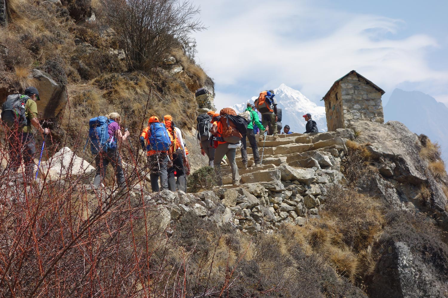
How difficult is the Everest Base Camp Trek?
The difficulty of the Everest Base Camp Trek is relatively low. It should be noted that the Everest Base Camp trek requires no climbing expertise and there are certainly no technical climbing sections. With determination and a basic fitness level, you should be able to trek the route. We have seen old and young, overweight and underweight complete the trek – all with a smile on their face!
With that being said, there are certainly some factors that should be considered prior to your trek, such as altitude, length and training that will enable you to better understand what you are getting yourself into before deciding.
What gear do I need for the EBC Trek?
One of the most frequent questions that we get asked is what gear should be packed for an Everest Base Camp trek.
To make your life a lot easier we have written a very detailed Everest Base Camp packing list article. The list is fairly exhaustive but includes all the absolutely necessary items of clothing and outdoor gear that you should bring with you.
You will have the opportunity to either buy or rent gear in Kathmandu, Lukla or even in Namche Bazaar, but in general we recommend you bring with you the main items (i.e. hiking daypack , hiking boots, warm down jacket, sleeping bag and sleeping mat , trekking poles , appropriate trekking clothes, headgear and headlamp and gloves etc.)
What travel insurance do I need for the EBC hike?
Trekking Everest Base Camp comes with obvious risks. We recommend you get travel and trekking insurance for all treks in Nepal .
On the Everest Base Camp route, you will reach a maximum altitude of 5,416 meters, so it is important you choose an insurance package that covers you up to that altitude.

Are there any recommended guidebooks for the Everest Base Camp Trek?
Absolutely. There are some great guidebooks and trekking maps to choose from when doing the Everest Base Camp Trek.
The classic EBC trail itself is well-worn, but there are many smaller yak trails that can confuse people.
We recommend taking a detailed trekking map. The region is sparse, and it is possible to get lost in the many valleys that lie on either side of the main trail. The most recent Lonely Planet Trekking in the Nepal Himalaya provides the most up to date information and maps of the region.
Sian Pritchard-Jones and Bob Gibbons’s book: A Trekking Guide to Everest is also rather good.
For a more general guide to Nepal, you may want to check out the Nepal Lonely Planet Travel Guide .
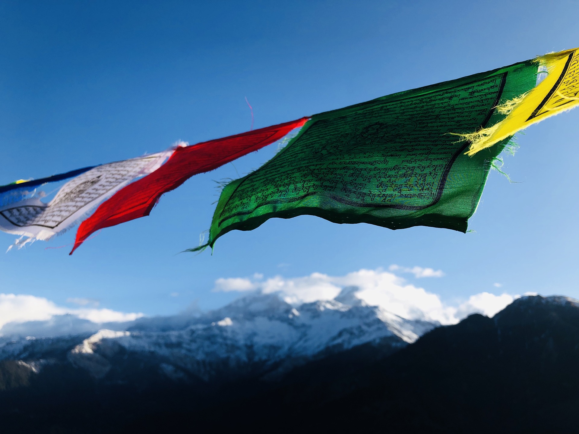
Are there any other hikes in Nepal you would recommend?
Yes, there are many other hikes in Nepal that I love.
Some of the most popular alternative Nepal trekking routes are the Annapurna Circuit Trek , the Langtang Valley Trek and the Manaslu Circuit Trek . If you're looking for some easy Nepal hikes , then check out the Poon hill hike or the Royal hike . For short Nepal hiking routes see the Helambu hike , which is near Kathmandu.
Continue browsing
See more information on Nepal . Or check out these other Everest/Nepal articles:
- Best Climbing Mount Everest Tips
- Food on the Everest hike
- Internet Access on EBC hike
- Everest Base Camp Trek Deaths and Statistics
- Best Places to Visit in Nepal
- What to Expect in Nepal Tea Houses
About the author
Mark Whitman
Mark has trekked extensively in Asia, Europe, South America and Africa. He founded Mountain IQ in 2014 with the sole aim to be the best online information portal to some of the most popular mountain destinations around the world. When not writing for Mountain IQ, Mark is out exploring the outdoors with his wife!
Leave a Reply
Your email address will not be published. Required fields are marked
Nice article. Full of true information and very supportive for new trekkers.
We work with local guides to offer great value adventures at unbeatable prices

- Why Do you Choose with Us?
- Everest Trekking Routes
- Legal Document
- Term & Condition
- Ghorepani Poon Hill Trek 4 Days
- Ghorepani Poon Hill Trek
- Annapurna Base Camp Trek 5 Days
- Annapurna Base Camp Trek 7 Days
- Annapurna Base Camp Short Trek
- Annapurna Base Camp Trek
- Annapurna Base Camp Trek 12 Days
- Annapurna Base Camp Trek Solo
- Annapurna Circuit Trek
- Mardi Himal Trek 5 Days
- Mardi Himal Trek
- Khopra Ridge Trek
- Annapurna Tilicho Lake Trek
- Jomsom Muktinath Trek
- Australian Camp Hike
- Dhampush Sarangkot Trek
- Ghale Gaun Trek
- Budget Annapurna Base Camp Trek
- Nar Phu Valley Short Trek
- Nar Phu Valley Trek
- Langtang Trek 7 Days
- Langtang Valley Trek
- Langtang Gosaikunda Trek
- Langtang Tamang Heritage Trek
- Langtang Valley Solo Trek
- Langtang Ganja la Pass Trek
- Helambu Circuit Trek
- Shivapuri Nagarkot Trek
- 12 Days Manaslu Circuit Trek
- Manaslu Circuit Trek
- Short Manaslu Circuit Trek
- Manaslu Circuit Trek Solo
- Manaslu Tsum Valley Trek
- Everest view Trek 7 Days
Everest Base Camp Trek 10 Days
Everest gokyo lake trek.
- Everest Base Camp Trek
- Everest Base Camp Trek 12 Days
Everest Cho la Pass Trek
Everest three pass trek.
- Everest Base Camp Trek 14 Days
- Everest Base Camp Trek Budget
- Everest Base Camp Helicopter Tour
- Phaplu to Everest Base Camp Trek
- Upper Mustang Trek
- Upper Mustang Jeep Tour
- Kanchenjunga Base Camp Trek
- Ruby Valley Trek
- Rara Lake Trek
- Lower Dolpo Trek
- Upper Dolpo Trek
- Manaslu Annapurna Circuit Trek
- Arun Valley Trek
- Chepang Hill trek
- Dhaulagiri Round Trek
- Ganesh Himal Trek
- Guerrilla Trek
- Makalu Base Camp Trek
- Manaslu Rupina La Pass Trek
- Rolwaling Tashi Lapcha Pass Trek
- Sherpeni Col Pass Trek
- Kathmandu valley Sightseeing
- Pokhara Day Tour
- Kathmandu Chitwan Tour
- Kathmandu Chitwan Lumbini Tour
- Kathmandu Pokhara Bandipur Tour
- Kathmandu Nagarkot Dhulikhel Tour
- Annapurna Base Camp Helicopter Tour
- Pokhara Muktinath overland tour
- Bungee Jumping in Nepal
- Dhorpatan Hunting Tour
- Family Tour in Nepal
- Helicopter Tour in Nepal
- Mountain Flight in Nepal
- Island Peak Climbing
- Chhukung to Island Peak Climbing
- Lobuche Peak Climbing
- Dingboche Lobuche Peak Climbing
- Mera Peak Climbing
- Chulu West Peak Climbing
- Chulu East Peak Climbing
- Tent Peak Climbing
- Nayakang Peak Climbing
- Amadablam Expedition
- Pokalde Peak Climbing
- Tourist Visa for Nepal
- Trekking Equipment List
- Jeep Scorpio Rental Service in Nepal

- [52+ booked]
- Share the trip
Message for Travelers flight to Lukla!
During the main season (March-May and September-November ) , all the Lukla flights will be held via Manthali Airport in Ramechhap due to the air traffic and in Kathmandu domestic airport.
which after the other month’s regular flights from Kathmandu to Lukla and Lukla to Kathmandu.
Due to Bad Weather Conditions in Lukla
During the Monsoon season from June to September is weather forecast big change. So, this situation needs to wait another day or take a helicopter from Kathmandu to Lukla or Lukla to Kathmandu. Therefore you need to take some extra days to use that bad weather situation.
The Ultimate Guide to Conquering the Everest Base Camp Trek
Are you ready for the adventure of a lifetime? The Everest Base Camp Trek is a bucket-list experience that draws thousands of adventurers each year. But conquering this challenging feat requires more than just physical endurance; it takes careful planning, preparation, and knowledge of the terrain and weather conditions. That’s where this ultimate guide comes in. As a seasoned trekker and expert in all things Everest, I’ve put together a comprehensive resource that covers every aspect of the trek, from choosing the right gear to navigating the trails to acclimatizing to the high altitude. Whether you’re a seasoned hiker or a first-time trekker, this guide will provide you with the tools and information you need to successfully summit the base camp of the world’s highest peak. So, strap on your boots, grab your backpack, and get ready to embark on an unforgettable journey to the top of the world!
– Experienced guides and porters – Fully supported trek with all meals and accommodation included – Trek through the Sagarmatha National Park, a UNESCO World Heritage Site – Visit the famous Namche Bazaar and Tengboche Monastery – Trek to the base camp of Mount Everest at 5,364 meters (17,598 feet)
– Experience the adventure of a lifetime – Challenge yourself physically and mentally – Immerse yourself in the unique culture and hospitality of Nepal – See some of the most stunning mountain landscapes in the world – Create memories that will last a lifetime
Food and water on the Trek
Food and water are essential for your energy and hydration during the trek. Most teahouses and lodges offer a variety of meals, including Nepali, Tibetan, and Western cuisine. The meals are usually hearty and filling, with plenty of carbohydrates and proteins to sustain you during the long hours of walking.
It is advisable to carry water purification tablets or a water filter to purify the water before drinking. You can also buy bottled water, but it is not environmentally friendly and can get expensive.
Altitude sickness and how to prevent it
Altitude sickness is a common condition that affects trekkers at high altitudes. It can cause symptoms like headache, nausea, dizziness, and shortness of breath. To prevent altitude sickness, it is essential to acclimatize properly by following a gradual ascent and taking rest days to allow your body to adjust to the altitude.
You can also take medication like acetazolamide to prevent altitude sickness. However, it is advisable to consult a doctor before taking any medication.
Packing for the Trek
Packing for the Everest Base Camp Trek can be overwhelming, but it is crucial to pack wisely to ensure that you have everything you need for the journey. Here are some essentials you should pack:
- Hiking boots: Invest in a good pair of hiking boots that are comfortable and provide adequate support and traction.
- Warm clothing: Temperatures can drop significantly at high altitudes, so pack warm layers, including a down jacket, fleece, and thermal wear.
- Sleeping bag: You will need a good quality sleeping bag suitable for cold weather conditions.
- Backpack: Choose a backpack that is lightweight and has ample space to carry your essentials.
- Headlamp: A headlamp is essential for navigating in the dark.
- Water bottle: Carry a reusable water bottle to stay hydrated throughout the trek.
Remember to pack light and carry only the essentials. You will be carrying your backpack for long hours, so avoid overpacking.
Best time to trek to the Everest Base Camp
The best time to trek to the Everest Base Camp is from March to May and September to November. These are the peak trekking seasons when the weather is stable, and the skies are clear, allowing for stunning views of the Himalayas.
During the peak seasons, the trails can get crowded, and the accommodation can get fully booked. Therefore, it is advisable to book your trek well in advance to secure your spot.
If you prefer a quieter trek and don’t mind the colder weather, you can also trek during the winter months of December to February. However, be prepared for colder temperatures and possible snowfall, which can make the trek more challenging.
Safety and emergency procedures on the Trek
The Everest Base Camp Trek can be dangerous, and it is essential to take safety precautions and be prepared for emergencies. Always trek with a guide or a porter who knows the terrain and can help you in case of an emergency.
Carry a first aid kit with basic medication and supplies like bandages, antiseptic cream, and pain relievers. It is also advisable to have travel insurance that covers emergency medical ev
HOW TO PREPARE YOURSELF FOR THE TREKKING AND EBC TREK?
Preparing yourself physically and mentally for the trek to Everest Base Camp is essential to ensure a safe and enjoyable experience. Here are some tips to help you prepare for the trek:
- Start training early: The Everest Base Camp Trek is a physically demanding one, so it is important to start preparing yourself well in advance. You can start with regular cardio exercises, such as jogging, cycling, and hiking, to build your endurance and stamina.
- Strength training: Strengthen your leg muscles with exercises like squats, lunges, and calf raises, as they will be the primary muscles used during the trek. Also, work on your core and upper body strength with exercises like push-ups, planks, and dumbbell rows.
- Acclimatize: The altitude can be a challenge during the trek, so it is important to acclimatize properly. Plan your itinerary to allow for a gradual increase in altitude, and take rest days to help your body adjust to the altitude.
- Eat a healthy diet: A nutritious and balanced diet will help you build your energy levels and strength for the trek. Focus on high-carbohydrate and high-protein foods, such as whole grains, lean meats, fruits, and vegetables.
- Stay hydrated: Drinking plenty of fluids, especially water, is essential to stay hydrated during the trek. Carry a water bottle with you and drink at least 3-4 liters of water per day.
- Pack smart: Pack light but with essential items for the trek, including proper hiking boots, warm and comfortable clothing, rain gear, and a good quality sleeping bag.
- Mental preparation: The trek can be physically and mentally challenging, so it is important to prepare yourself mentally. Set realistic goals, maintain a positive attitude, and be mentally prepared to handle unpredictable weather and challenging terrain.
- Consult a doctor: Before embarking on the trek, it is important to consult with a doctor, particularly if you have a pre-existing medical condition. Get any necessary vaccinations and carry essential medication for the trek.
By following these tips and taking the time to prepare yourself physically and mentally, you can increase your chances of having a safe and enjoyable trek to Everest Base Camp.
Tips for a successful Everest Base Camp Trek
Here are some tips to help you have a successful Everest Base Camp Trek:
- Trek with a guide or a porter who knows the terrain and can help you in case of an emergency.
- Follow a gradual ascent and take rest days for acclimatization.
- Stay hydrated and eat well.
- Pack light and carry only the essentials.
- Familiarize yourself with the terrain, weather conditions, and altitude.
- Be prepared for emergencies and carry a first aid kit and travel insurance.
Relatate Picture Gallery

Trip Itinerary
Outline itinerary, day 01: arrival in kathmandu transfer to hotel, day 02: fly to lukla, trek to phakding (2,651m/8,700ft) 3 – 4 hours, day 03: phakding to namche bazaar (3,438m/11,280 ft): 11km, 5 – 6 hours, day 04: acclimatization day – namche bazaar: (3,440m/11,284ft), day 05: namche bazaar to phortse (3,870m/12,694ft): 10km, 5- 6 hours, day 06: phortse to dingboche (4,360 m/14,300 ft): 9km, 5 – 6 hours, day 07: dingboche acclimatization day, day 08: dingboche to lobuche (4910 m) 5/6 hours, day 09: lobuche to gorak shep (5170 m/16,961ft), visit everest base camp (5364 m/17,594 ft), day 10: gorak shep to kala patthar (5,545m/18,192ft) to pheriche (4,288m/14,070ft) 7-8 hours, day 11: pheriche to namche bazaar (3,440m/11,280 ft): 20km, 6 – 7 hours, day 12: namche bazaar to lukla (2,800m/9,186ft): 19km, 6 – 7 hours, day 13: fly to kathmandu 30 minutes.
- DAY 14: FINAL INTERNATIONAL DEPARTURE BACK TO HOME
Details Itinerary
After arriving in Kathmandu, a delegate from Everest Trekking Routes will meet you at the airport and transfer you to your hotel. In the afternoon, you may take a rest or visit the Everest Trekking Routes office. In the evening there will be a welcome dinner given by Everest Trekking Routes where you will be served Nepalese food which will introduce you to the country’s food culture.
Our Guide will transfer to Domestic airport and short Lukla flight 30 minute and introduce our local mountain porters. Kick off your beautiful trek through larges village Chourikharka and demented towards Dudhkoshi River and continue to Phakding (2652m. 8700ft.) we will have to stay acclimatization and we will stay overnight at lodge.
We trek to Namche Bazaar, the biggest village of Khumbu region, which is the most popular Himalayan city Touristic area same as Kathmandu and Pokhara. Trekking toward to Monjo Entering Sagarmatha National Park and Trekkers Information Management System Main Gate. Flow up Dudhkoshi River and crossing highest bridge bottom of the Namche. We have changed to see mt. everest on the trail and continue to Namche. Stay overnight at lodge.
Today Explore and Acclimatization day, after breakfast visit to Sherpa Museum which is popular by Khumbu region about the Sherpa culture and history and will have the hike to the top of the Everest viewpoint take the cup of tea or coffee at Everest View lodge. If the weather is perfect then will see Mt. Everest, Lhotse, Island Peak, Amadablam and Many Others Trekking peak. When we return from Everest Viewpoint visit to Khumjung Village and Admon Hillary high school take lunch and back to Namche, Little sightseeing stay overnight at lodge.
We will continue trek to Phortse medium beautiful Sherpa village. Beginning part flat and easy. after Sanasa moderate slide and stepping to Mongla situate 4000m. During the time of trekking, we will pass through the lush forest of Rhododendron, pine, and oak forest. We will have our lunch on the way and we will move towards Phortse. Take lunch that depends on choice and extremely descending to Phortse Tenga pass the bridge and end of our destination and we will stay overnight at lodge.
Today our destination is Dingboche, which is the massive viewpoint and chance to see lots of wild animals as Blue sheep, dear, Himalayan Thar, and Many of Domestic Yaks browsing grass. The Phortse to Dingboche is the most beautiful trail select by Everest Trekking Routes. Take lunch at Upper Pangboche or Somare and slowly trek to Dingboche and we will stay overnight at lodge.
Today is Acclimatization day at Dingboche just a light hike to Little Pick or a hike to Chhukung just a combination of acute mountain sickness and visit Dingboche Sherpa Villages. Will have to wear warm clothes and take lots of drinking water. Make sure could reach our Destination to EBC and stay the extra night at the lodge.
We start our trek towards Lobuche, over 4000 meters, have to most care health because before Lobuche slowly toward Thukla and take lunch and rest for while and hard part stepping and amazing Lobuche peak, Ama Dablam peak, Lobuche peak, Primary peak, and Nupse Peak. During the time of trekking, we will pass through the lush forest of Rhododendron, pine, and oak. Its make us enjoy and we will stay overnight at the lodge.
From Lobuche to Gorakshep takes more than 2 hours and must leave early morning, because take the hot drink as tea or coffee continue to Gorakshep and get accommodation to leave the bag. Before the visit to Everest Base Camp, we have to Breakfast and take with us light food. It is the hard and long day all most 8 to 10 hours. Return from EBC and we will stay overnight at lodge.
Early morning hike to Kala Patthar peak 5545m. We can see the world’s tallest mountain Everest along with other mighty Himalayan peaks. Which is our main destination sunrise and panoramic views front of Mt Everest and Pumori Expedition, the Magnificent Himalayan range return to Gorakshep take breakfast after that continue to trek to Pheriche or Pangboche and we will stay overnight at lodge.
Leaving Pheriche to Namche Bazaar after breakfast early in the morning. We trek toward the Hillary Suspension Bridge and then pass through several local villages toward to old Buddhist Tengboche monastery. We walk on winding trails followed by another walking through a forest before reaching Namche Bazaar. It takes 7/8 hour easy downhill and more traffic yaks and Porters Continue trek to Namche and stay overnight at lodge.
We leave Namche Bazaar for Lukla after having breakfast in the hotel and us easy downhill but more traffic yak, Jhopkyo, Porters toward to manjo. Before Lukla take light lunch and continue to Lukla, finally we will complete our trip and warm up with all team to say goodbye for local porters waiting for the flight to Kathmandu stay overnight at lodge.
We will be driven towards the local airport of Lukla to fly towards Kathmandu valley. Because some time very hard to get a flight and lots of people waiting. We must reservation for flight before our trip. When we arrived in Kathmandu explore and shopping souvenirs for your family. We will spend one night in Kathmandu valley.
Cost Details
Cost includes.
- Airport / Hotel / Airport pick up and Drop by private car/van/bus.
- Both Way Domestic Air Ticket Kathmandu to Lukla and Lukla to Kathmandu
- All standard meals: (12 breakfasts, 12 lunches, and 11 dinners ) during the trek
- All Trekking Permit (Sagarmatha National Park Permit) and Local Permit.
- All Tea House Accommodation : 11 Nights Lodge to Lodge Accommodation in trekking,
- Trekking Guide License Holder : Government License Holder Trekking Guide An experienced, helpful, friendly, and English-speaking Trekking Guide. His well-paid salary, meals, accommodation insurance, Flight ticket, etc.
- Trekking porter ( one porter for two members) No Porter for Solo Trekkers
- After the successful trip, Everest Trekking Routes will Provide an Adventure Certificate.
- Arrangement of Emergency Helicopter service which will be paid for by your Travel insurance company.
- All Government Taxes and Service charges.
Cost Excludes
- All Meals & Hotel in Kathmandu (If you need we arrange you)
- personal expenses (bar bills, beer, coke, a bottle of water, hot water, phone call, laundry service, Helicopter rescue, Electronic device recharge such as Mobile, Camera, etc.)
- Tips for guide, porters, and driver.

What is the Everest Base Camp Trek?
The Everest Base Camp Trek is a renowned trekking route in the Everest region of Nepal, leading trekkers to the base camp of Mount Everest. It offers stunning views of the Himalayan peaks and provides an opportunity to experience the Sherpa culture.
How long does the trek take?
The trek typically takes around 10 to 12 days, depending on the route chosen and the pace of the trekker. This duration includes acclimatization days to prevent altitude sickness.
What is the best time to do the trek?
The best time for the Everest Base Camp Trek is during the spring (March to May) and autumn (September to November) seasons. These periods offer stable weather and clear skies, providing excellent views of the mountains.
Do I need prior trekking experience?
Prior trekking experience is not necessary, but it’s recommended to have a reasonable level of fitness and stamina. The trek involves walking for several hours each day at a high altitude, so some level of physical preparation is advisable.
What permits do I need for the trek?
Trekkers require two permits: the Sagarmatha National Park Entry Permit and the Khumbu Pasang Lhamu Rural Municipality Entrance Permit. These permits can be obtained in Kathmandu or directly in the Everest region.
Is altitude sickness a concern?
Yes, altitude sickness is a potential risk due to the high altitude of the trek. It’s essential to acclimatize properly by ascending gradually and staying hydrated. Trekkers should be aware of the symptoms of altitude sickness and be prepared to descend if necessary.
What is the accommodation like on the trek?
Accommodation options along the trekking route range from basic tea houses to more comfortable lodges. Tea houses provide simple rooms with shared facilities, while some lodges offer private rooms and attached bathrooms. It’s advisable to book accommodation in advance during the peak trekking seasons.
What should I pack for the trek?
Essential items include trekking boots , warm clothing layers , a sleeping bag , a waterproof jacket , sunscreen , sunglasses , a first aid kit , and personal toiletries . It’s also crucial to carry sufficient snacks and water bottles during the trek.
Are there any communication facilities along the trek?
Mobile phone coverage is available in some parts of the trekking route, but it can be unreliable. Many tea houses and lodges offer Wi-Fi for a fee, but the connection may be slow or intermittent.
Do I need a guide/porter for the trek?
While it’s possible to trek independently, hiring a trekking guide and/or porter is recommended for safety and convenience, especially for those without prior trekking experience. Guides provide valuable assistance with navigation, cultural insights, and emergency support, while porters can help carry heavy backpacks, allowing trekkers to focus on enjoying the journey.
Join Upcoming Trips 2024
Latest customer reviews.

Mark Gamboa
Vancouver, british columbia,, everest base camp trek with suk bahadur gurung.
Searching for the perfect company to embark on the EBC trek was not easy when doing research on who to go with. I happen to have really lucked out by choosing to go with Everest Trekking Routes, because they were great, through and through.
I did the trek in November but started inquiring with them back in February. Rabin is the CEO of the company, and he has helped me in every way possible. He was prompt in answering my questions via email and meticulously arranged the EBC trek , which felt customized to all my needs. In person, he was kind and courteous. And my guide Suk was friendly and helpful throughout the hike. He had brought all the necessary medication for me and asked every day how I was feeling. Suk is also a very good card player and was grateful for his company on the 12-day hike/ Kathmandu City Hike.
I’m sure most of you reading this have gone with some tour company elsewhere in the world, and perhaps you might agree that most of them have treated you as simply a commodity in the assembly line. By going with Everest Trekking Routes, I never felt that. Rabin and Suk took care of me from beginning to end, and I sing all their praises for getting me to Everest Base Camp, which was a major deal for me and my friends and Family. Rabin and Suk became family to me. Thank you for everything, guys!

Antonia Carol Suning
Sabah malaysia,, everest base camp & lobuche peak with rabin gurung.
It was such a hard fight to join this trip. Because I had to work hard to find funding for this training. It is the first summit I attended team NOBAT ( No Boundary Adventurers Association Sabah ) to the Himalayas with AMG ( Adventure Mountain Guide Rabin Gurung ), I gained a great experience, which Mr. Rabin Gurung was very friendly and kind as a mountain guide who experience he made this trip so enjoyable, and build a better friendship.
I would like to thank him for giving the best service to us, this is the first time I walk for 21 days hahaha. In every step, he remained faithful to accompany and not leave us, even though there are 2 people in our group who did not succeed, and he sent us back to our high camp Lobuche to support the spirit reaching the summit of Lobuche Peak Climbing .
Nice trip and good services such as tents, food, and stories you tell about your family, it is good, and I enjoyed the trip because you protected me and my team so much.
Keep up the good work you AMG! I am happy to see and to know you! Good luck! * extra bonus able to speak Bahasa Melayu! hehe

Jaistin Tamin
Everest base camp, island peak, lobuche peak & chulu west peak with rabin gurung.
Sewaktu saya ditugaskan oleh persatuan NOBAT untuk mendapatkan khidmat ‘trekking guide’ bagi ekspedisi NOBAT Himalaya 2013, saya telah menghubungi beberapa ‘trekking agent’ di Kathmandu melalui emel. Saya tertarik dengan laman web Rabin Gurung dan ‘testimonial’ dari beberapa individu yang penat mendapatkan khidmatnya. Rabin memberikan tawaran kos yang paling berpatutan. Dari raut wajahnya saja saya yakin dia adalah orang yang jujur dan’friendly’. Satu kelebihan lain ialah dia boleh berbahasa Malaysia.
Apabila bertemu dengan Rabin buat pertama kalinya di Kathmandu, memang sah bahawa kami telah membuat pilihan yang tepat. Sepanjang trekking, Rabin sangat professional dalam khidmatnya. Beliau flexible dan mudah diajak berunding. Kami tidak lagi menganggapnya sebagai pemandu jalan tetapi sebagai sahabat..kepada sesiapa yang ingin trekking di Himalaya, sila dapatkan khidmat Rabin. Saya percaya anda bakal membuat pilihan yang tepat. Email: [email protected]

Henry Leung
Hongkong china,, everest base camp trekking with rabin gurung.
A professional guide with a passion brought us going to EBC , Kala Patthar and Island Peak Summit. He can manage all the matter letting us trek with no worry. There were three days no flight from Lukla back to Kathmandu due to bad weather, but we can still on schedule. Thanks for his help and made this trip memorable. He is Rabin Gurung.
Visited April 2017
Email: [email protected]

Everest Base Camp and Island Peak Climbing

Christopher Masson
London, uk,, everest base camp trek 12 days including kala patthar.
This was my first time trekking and the whole experience was unforgettable thanks to the help of my guide phul and organised by Rabin gurung from Everest trekking routes . Anything I needed he was more than happy to help. I would recommend this trek to anyone wanting a once in a lifetime experience in Nepal.
Source by: TripAdvisor

Breathtaking! - in every possible way Everest Base Camp
My once-in-a-lifetime experience with colleagues from Everest Trekking Routes Pvt. Ltd. started in the early season in 2023 in mid-February. After planning the trip without any problems and answering all the necessary questions via email or WhatsApp, I was met by Rabin (the boss of the trekking agency) at the airport in Kathmandu and then taken to the hotel, where I was finally able to meet my guide for the 12-day tour to Mount Everest Base Camp. Su Sil is an ideal hiking companion who, in addition to his profound knowledge of the region around Mount Everest, has a friendly and cheerful manner. The hotel, where I stayed the first night, left nothing to be desired and corresponded to an upper class hotel by Napalese standards.
The next morning, the flight left for Lukla at 7am as planned, Su Sil -my travel guide- had all the necessary documents for the flight ready and the adventure towards Mount Everest began…
My booking included an all-inclusive service, so you got 3 meals a day plus a fruit plate to cover your vitamin needs. The accommodation (tea houses) was chosen by the guide in a sensible and appropriate way along the way. In addition, Su Sil always had all the necessary documents for entering the national park at hand. From an altitude of 5000m above sea level, the altitude slowly began to affect me and I suffered extremely badly from altitude sickness, which manifested itself in headaches, loss of appetite and sleeplessness. However, Su Sil had all the necessary medication with him to reduce the effects of altitude sickness to a minimum. Su Sil could speak and understand English without any problems and could also respond to deep thought processes and follow other conversations without any problems. I also came into contact with other trekking groups, as the open-hearted nature of the trekking guides, often in the evenings by the fireplace in the tea house, led to conversations with people from all over the world, which were intensified by the positive mood of the guides among themselves.
At the end of the almost 2-week trek and after successfully climbing the first base camp of Mount Everest and Kala Patthar (5644m), I was again accommodated in the hotel from the first night for one last night. The hotel also has a spa and wellness area, which was logically used directly. The trekkers’ massage is highly recommended!
All in all, the 12-day trip was an absolutely incredible experience. After having been around the world a lot, my expectations were initially a bit low, but in the middle of the trip they were completely fulfilled by the friendliness of the people, the Nepalese culture and the incomparable beauty of the mountain ranges. I was also able to build up a very friendly relationship with my guide, in which we support each other, talk positively to each other and use every conceivable minute for the most diverse conversations.
Thank you for this experience and I will definitely be back!
Source by: Tripadvidor

Christin Kunath
An unforgettable trip with a perfect team with everest base camp trek.
The english communication per E-Mail an WhatsApp with Rabin was obviously struktured. The Time schedule was individually created to our needs. Possible Additions to the Trip were disscussed and added, if they are possible. The Services, which are inclueded on the Trip, are clearly defined, so no misunderstandings could arise. Our Guide Sushil was so courteous and very helpful. All in all an unforgettable Trip with a perfect Team.
We could recommend the relaxed Offseason at EBC in February/March.
Source by: Tripadvisor

Judith Janoschka
Beste agentur.
Rabin kümmert sich von der ersten Kontaktaufnahme bis zur Verabschiedung am Flughafen außergewöhnlich gut und verlässlich um seine Gäste. Er ist bei Fragen immer erreichbar und kümmert sich um individuelle Planänderungen. Seine Freundlichkeit und seine Versorgung der Gäste ist ganz besonders hervorzuheben. Mit dem Guide Samuel hatte ich eine tolle und professionelle Begleitung auf meiner Tour. Ich würde immer wieder über Rabin und seine Agentur buchen. Danke Rabin!
Sources by: Tripadvisor

Patrick Peh
Ebc trekking with family.
We did a 12 days EBC trek with our guide Dhansingh Gurung (his whatsapp number is +977-984-34512310 on 17 Nov to 29 Nov 2023. We would like to thanks Dhansingh for making this trip possible because we are a family of 2 adults and 3 children, aged between 14-16 years old. Dhansingh had make our trekking more pleasant and easier by encouraging and taking care of the younger trekkers. I strongly recommended those people who intends to bring their younger family members to engage Dhansingh as your guide. Prior to the trip, many people discouraged me from bringing the young ones to trek 12 days to EBC! But I did not adhere to their advises and carry on the plan. Dhansingh and his team were to professional and attentive to our needs, even on the first day of arrival to Kathumuda. I reckon that there is no regrets to bring the young ones to explore the truly nature of Nepal during the 12 days EBC trek. Please contact Dhansingh if you have any questions and doubts about travelling with young family members to EBC.

Related Trips

- Challenging/high Pass

- Moderate/Hiking

- Moderate/Challenging

- Challenging/High Pass


Base Camp Adventure

- Email: [email protected]
Everest Base Camp Trek Map

Everest Base Camp Trek is one of the major attractions of Nepal. Visiting the highest peak of the world at an altitude of 8848 meters so up close is on everyone’s bucket list. But only a few adventurous brave people can commit to embark on the adventure.
Embarking on any journey requires detailed information about the place. For any journey, the main requirement is always a map. Getting lost in a strange place is a nightmare. To avoid such a nightmare from becoming reality, you should always carry a map with you.
With the Everest Base Camp Trek map , the chances of you getting lost are reduced. The age of technology does make it seem like maps are pretty useless. But with the trekking being in a remote area, a physical Everest Base Camp Trek map would seem like the most useful and important item.
With a challenging adventure as the Everest Base Camp Trek , you can never be too careful. You will always need an Everest Base Camp Trek map with you in case of any uncertainties. Also, wherever you go, it’s a smart move to do a little research about where you will be reaching or what you will be doing there.

With the map of Everest Base Camp Trek, you will not only be able to find the routes easily, but you will also know where you are at the moment and what the main attraction of the place is. For example, with a map, you will know that a certain monastery or religious landmark is nearing and prepare yourself accordingly.
Trek Route Summary
Standard everest base camp route.
The 15 days Everest Base Camp Trek is the most popular route taken by trekkers. The trek starts with a flight from Kathmandu to Lukla. From Lukla, you will trek most of the day with around 5-6 hours of trekking every day. Passing through Namche bazaar on Day 4th for acclimatization , you will travel through religious monuments like Tengboche. Another acclimatization point at Dingboche is used during the trip.
You will reach the base camp on the ninth day of the trek. Taking the same way back, retracing your steps, you will return to Kathmandu on a flight from Lukla. This will mark the end of your Everest Base camp trek. This route is marked In blue in the map provided above.
Helicopter return (optional)
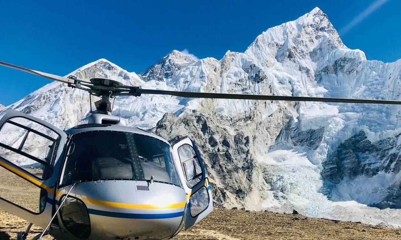
Another route for Everest Base Camp Trek is returning by helicopter. This allows you to have a clear view of the mountains from a higher altitude. The Everest Base Camp Trek with helicopter return includes all the same routes and stops as the base camp trek of 15 days. You will catch a flight from Kathmandu to Lukla and travel through Namche bazaar to the Everest Base Camp. The only difference is that you will be returning from Kala Patthar to Kathmandu by helicopter . Here you will enjoy the superb view of the mountains, the valleys, and the trails.
Three pass trek (optional)
The path in grey in the Everest Base Camp Trek map is the one that takes us through the three passes to reach our final destination i.e, the Everest Base Camp. This route takes us for a challenging adventure through the Valley of death. The three pass route takes us to the Gokyo village and Gokyo Ri to witness the glorious mountains standing tall in their full beauty.
This route takes you to a mystical journey through the three passes: Kongma-la Pass, Cho La Pass, and Renjo La Pass . This place provides the best view of the Everest Base Camp. The three pass trek provides the trekkers with a solidarity trek on the way back. This trek route takes a total of 18 days , unlike the classical trekking route.
Related Articles
- 15 Days Everest Base Camp Trek
- Everest Base Camp Trek with Helicopter Return
Everest Three Pass Trek
- Full Name *
- Contact Number
- Your Message/Inquiry *
Details as per the Everest Base Camp Trek Map
As per the Everest Base Camp Trek Map, the route for the classic Everest Base Camp trek follows the following routes making the stops below:
Kathmandu to Phakding
Lukla – Phakding Distance: 6.2 km | Max altitude: 2,610 m | Estimated Trek hours: 4 – 5 hrs
The main route shown as per the Everest Base Camp Trek Map is the classical Everest Base Camp Trek route. The trek starts from a flight from Kathmandu to Lukla and ends the day at Phakding.
Phakding to Namche: Rest one day for acclimatizing
Distance: 7.4 km | Max altitude: 3440 m | Estimated Trek hours: 6-7 hours
From Phakding, this route leads us to Namche Bazaar through Manjoo. This stop is an acclimatization point where you will rest for the day to help better adapt to the altitude.
Namche to Tengboche
Distance: 5.9 km | Max altitude: 3867 m | Estimated Trek hours: 5-6 hours
The next stop on this route is Tengboche. This is a Buddhist monastery worshipped by the sherpas. The map clearly shows how to reach the monastery from Namche Bazaar.
Tengboche to Dingboche – rest one day for acclimatizing
Distance: 9.1 km| Max altitude: 4260 m | Estimated Trek hours: 5-6 hours
From the monastery in Tengboche, the route leads you to Dingboche. This is a small village on the way. You will rest at this spot for the day acclimatizing and head to the next stop the next day.
Dingboche to Lobuche
Distance: 6.6 km | Max altitude: 4930 m | Estimated Trek hours: 5-6 hours
Lobuche is the next stop from Dingboche. There are two routes to reaching Lobuche. On the map, we can clearly see the routes we can take.
Lobuche to Everest Base Camp – Gorakshep
Distance: 12.1 km to Everest Base camp 1.7 km to Gorakshep: | Max altitude: 5364 m| Estimated Trek hours: 3-4 hours
From Lobuche, we can reach Everest Base Camp. At an altitude of 5364 meters, we will reach Everest Base Camp and enjoy the view of the breathtaking mountains. After the achievement of a lifetime, you will descend to Gorakshep.
Gorak Shep to Kala Patthar to Periche
Distance: 1.2 km to Kalapatthar 10 km to Pheriche | Max altitude: 5545 m | Estimated Trek hours: 6-7 hours
The way back is now all descents. Only today, you will hike up to Kalapatthar in the morning. The view of the mountains in the early sunrise is to die for. This is one of the main attractions of the entire trek. Then you can descend to Pheriche.
Pheriche to Namche Bazaar
Distance: 14.2 km| Max altitude: 4243 m | Estimated Trek hours: 7-8 hours
The return route is the same as the one you took to get up to the base camp. You will follow the same route you took from Pheriche to Namche Bazaar.
Namche Bazaar to Lukla
Distance: 13.5 km | Max altitude: 3440 m | Estimated Trek hours: 6-8 hours
From Namche, you will return to Lukla through Manjoo and Phakding through the same trails as before. The only difference is that the way will no long be uphill.
Flight from Lukla to Kathmandu
Distance: 138 km | Max altitude: 2886 m| Estimated hours: 40 minutes
Your journey finally ends with the almost-cinematic view of the mountains and the valley. All this from your comfortable flight from Lukla to Kathmandu.
This trek takes only 15 days to take the daring journey and come back.
Alternative Route Map from Base Camp

This route is similar to the classic Everest Base Camp Trek. The way up is the same. However, the way back has a lot in store for you. After reaching Diboche from Namche Bazaar, you will reach the first pass of the three- Kongma-la pass . This provides spectacular views of the Khumbu glaciers.
You will reach Everest Base Camp from the pass soon. On the way back you will trek to Gokyo lakes via Cho La Pass . Here, you will see awestruck views of the religious Dudh Koshi river and the valleys around it. the pass lets you see the majestic view of the highest peaks like Cho-Oyu, Chola, Lhotse, etc.
Unlike the classic Everest Base Camp Trek route, this route is remote and of a higher difficulty level so be careful on the descent. On the way back from Gokyo to Namche, you will pass through the last pass i.e, Renjo La Pass at an altitude of 5360 meters.
The rest of the trek is the same as before. You will follow the trail back from Namche to Lukla and fly to Kathmandu. This trek takes you 18 days to reach the base camp and return back to your flight.
Return by Helicopter
Apart from the strenuous treks to and back from the base camp, there is an alternative route for your convenience. If you aren’t really good with descents or don’t want to walk back the same route, the same way you came up, you can always opt to choose the return by helicopter choice. There are many reasons to choose Everest Base Camp Helicopter Tour .
This route takes you through the classic Everest Base Camp trek route letting you experience all the trekking adventure while giving you the opportunity to end the trek with a unique Helicopter return to Kathmandu. This reduces your travel time and provides you a great opportunity to enjoy the view of the mountains from a helicopter without straining yourself more.
This route allows you to reach the base camp and enjoy the majestic view from Kalapattar. The helicopter return route picks you up from Kalapatthar and takes you t o Kathmandu straight through the mind blowing view of the mountains, valleys, and the glaciers and rivers.
The difficulty of the routes
15 days classic everest base camp trek.
The venturesome trek to the Everest Base Camp is one of the most popular and daring treks in Nepal. The trekkers do face some difficulties to overcome this daring journey.
The uncertainty of the Lukla flight is one of the major difficulties faced by trekkers here. The Lukla flight is one of the main attractions of the flight with the tempting view of the valley and the mountains. But his flight is heavily affected by the weather. Unexpected changes in weather have known to cause many cancellations so make sure to check the weather carefully.
Being at an altitude of 5364 meters , you will have to hike up a lot. Altitude sickness is probable in the high mountains. So take your time to acclimatize in the stops as per the maps guidance and enjoy the trek without any problems.
Three Pass Trek Difficulty

Among the three routes mentioned above and shown in the map, the Three Passes Trek Route is the most challenging one. There are many things to consider before embarking on this journey. This route is often chosen by people to avoid human traffic on the way. The difficulty of this trek is higher than the classic route due to the sudden uphill on the way to EBC.
You can take this route to go to the base camp which will help you in reaching the base camp fast instead of taking this route on the way back. The alternative route is filled with glorious views but the trail is kind of steep and the altitude suddenly increases.
The difficulty almost everyone faces in this route to go to Everest Base Camp is the difficulty to acclimatize in the Gokyo valley . The route seems to take only a few hours of walking so the trekkers usually rush in without proper acclimatization leading to altitude sickness.
Als, you should be careful to choose the best season to travel through this road.
Seasons are important for both ascending and descending the route. If you travel during the rainy season, there are many chances of landslides or you sliding down the slippery roads. So keep in mind to check the season and the climate before booking your trip.
Helicopter Return
The trek to Everest Base camp with helicopter return is a deal stealer as the package provides you with so many different routes and a spectacular view of the mountains and the valleys. The only difficulty that can arise on this magnificent trip is the unpredictable weather changes .
Helicopter rides are fun and exquisite, especially in the mountain range. But they aren’t advisable in bad weather conditions. The safety is in question in bad weather. So before you decide to plan a helicopter ride home from Everest Base Camp, please keep in mind that weather affects your ride a lot.
Best Time to go to Everest Base Camp Trek
Everest Base Camp Trek is a challenging trek that takes you through uphills and rocky roads. The best time to go to Everest Base Camp in the spring season during the months of February to May. The routes to reach the base camp are dry during these months.
The winter season through December to February can also be a good time but the temperature is obviously low.
The rainy season, however, is not a good time. You should avoid embarking on the Everest Base Camp Trek during the rainy season. Especially during the Gokyo route, the roads are very steep and unsafe in the rainy seasons. So best keep yourself out of the route during the rainy season to avoid any mishaps.
Before setting on an adventurous trek to Everest Base Camp, you should research the best time to go trekking to get the most out of your journey.
Why Do You Need Everest Base Camp Trek Map?
Stay on track.
Traveling through the steep snowy roads of Everest Base Camp trek, it’s easy to lose your way. Awestruck with the beauty of the place, you can get distracted from the route sometimes. These are the time maps come in handy. In the remote villages, charging your phones may be difficult. Also, wifi at such an altitude is rare. At such a time, carrying a map will be very handy.
Discover New Routes
With the Everest Base Camp Trek map, you can find out new routes to reach your destination. Discussing with your guide or your group, you can decide to take new routes to your destination. The map contains all the possible routes you can take to reach your destination and different attractions and stops on that particular stop. With the map, your Everest Base Camp Trek can be a surprising adventure with different attractions with you in control.
A Basic Necessity For A Solo Trek
Many adventurous trekkers embark on a solo trek for Everest Base Camp Trek. These trekkers are passionate about reaching the destination with their own efforts. If you are one of these passionate adventurous daredevils, you should get yourself an Everest Base Camp Trek map and initiate the adventure.
Other essentials for the Trek
Apart from the map of the Everest Base Camp Trek to guide you through the different routes of the Trek, there are other essentials for the trek like:
- Trekking boots and hiking poles
- Warm clothes like down jacket and fleece trousers
- Personal medical kit
- Portable chargers
- Toiletries and water bottles
Similar Treks
- Gokyo Valley Trek
- Mustang Trek
- Annapurna Base Camp Trek with Helicopter Return
- 4+3=? * Solve above and submit button will appear!!!
You may also like...

Everest Base Camp Training Plan

Packing List for Everest Base Camp

What to Expect in Everest Base Camp (EBC) Trek?
Find Your Tour

Main Navigation
Everest trekking.
- Everest Base Camp Trek With Heli Return
- Short Everest Base Camp Trek
- Everest Base Camp Trek
- Everest Cho-la Pass Trek
- Everest Three High Pass Trek
- Luxury Everest Base Camp Trek
- Gokyo Ri Trek
- Everest View Trek
Helicopter Tours
- Everest Short Trek with Helicopter Return
- Everest Base Camp Helicopter Tour
Peak Climbing
- Island Peak Climbing
- Mera Peak Climbing
- Lobuche Peak Climbing

Any Question? Email Us
Request to call (Puru)

Everest Base Camp Trek Route Map

The Everest Base Camp Trek is a legendary adventure taking you through the Nepalese Himalayas' heart . For a good reason, the trek is one of the most popular worldwide. It offers stunning scenery, challenging terrain, and a chance to experience the unique culture of the Sherpa people. If you plan on embarking on this epic journey, it's essential to understand the Everest Base Camp Trek Route Map . In this blog post, we'll take a closer look at the trek route, highlight some of the key landmarks and features along the way, and provide some tips and advice for those planning their own Everest Base Camp Trek.
Table of Contents
The Everest Base Camp Trek Route Map is divided into three main sections: the Kathmandu to Lukla flight, the trek from Lukla to Namche Bazaar, and the trek from Namche Bazaar to Everest Base Camp. Let's take a closer look at each of these sections.
Kathmandu to Lukla Flight
The Everest Base Camp Trek begins with a flight from Kathmandu to Lukla , a small mountain town in Nepal's Khumbu region . The flight is short but scenic, offering breathtaking views of the Himalayas. The landing at Lukla airport is an adventure in itself, as the runway is short, and the airport is located on the side of a mountain. Once you arrive in Lukla, you'll begin your trek towards Namche Bazaar.
Trek from Lukla to Namche Bazaar
The trek from Lukla to Namche Bazaar is around 10 kilometres and takes about 6-7 hours. The route is steep and challenging, but the scenery is stunning. You'll pass through small mountain villages, cross suspension bridges over rushing rivers, and climb steep hillsides. Along the way, you'll have your first views of the Himalayan peaks, including Ama Dablam and Thamserku. Once you arrive in Namche Bazaar, you'll have a chance to rest and acclimatize before continuing your trek towards Everest Base Camp.
Trek from Namche Bazaar to Everest Base Camp
The trek from Namche Bazaar to Everest Base Camp is the route's longest and most challenging section . It takes about 10-12 days to complete and covers a distance of around 65 kilometres. Along the way, you'll pass through various landscapes, from lush forests to high-altitude deserts. You'll also pass through several small mountain villages, including Tengboche , Dingboche , and Gorak Shep . These villages offer a chance to experience the unique culture and hospitality of the Sherpa people. You'll also be able to visit monasteries, including the famous Tengboche Monastery, and witness traditional Buddhist ceremonies.
One of the highlights of the trek is reaching Everest Base Camp itself. The base camp is located at an altitude of 5,364 meters and offers stunning views of the Khumbu Icefall and surrounding peaks. The journey to base camp is challenging, but the sense of accomplishment you'll feel when you arrive is well worth it.
Tips and Advice for the Everest Base Camp Trek
The Everest Base Camp Trek is a challenging adventure that requires a good level of fitness and preparation.
Here are some tips and advice for those planning their trek:
Train for the trek: The Everest Base Camp Trek involves long days of hiking and steep climbs. It's essential to prepare your body by doing regular exercise and building up your endurance.
Pack appropriately: Make sure you have the right gear for the trek, including warm clothing, a good quality sleeping bag, and sturdy hiking boots.
Take time to acclimatize: Altitude sickness can be a severe problem on the Everest Base Camp Trek. Take time to acclimatize and allow your body to adjust to the altitude. This may involve taking rest days or trekking at a slower pace.
Stay hydrated: It's essential to drink plenty of water to stay hydrated at high altitudes. Ensure you carry enough water, and consider using water purification tablets or a water filtration system.
Respect the local culture: The Sherpa people have a unique and rich culture. Show respect by learning about their customs and traditions and dressing modestly and appropriately.
Hire a local guide: Hiring a local guide is a great way to support the local economy and enhance your experience by providing valuable insights into the local culture and environment.
In conclusion, the Everest Base Camp Trek is a once-in-a-lifetime adventure that offers stunning scenery, challenging terrain, and a chance to experience the unique culture of the Sherpa people. Understanding the Everest Base Camp Trek Route Map is an essential part of planning for this adventure , and we hope this blog post has provided a helpful overview of the route. With proper preparation and a sense of adventure, the Everest Base Camp Trek is an experience you'll never forget.
Recent From Blog

30th Nov, 2022

28th Dec, 2022

30th Dec, 2022

18th Jan, 2023

30th Jan, 2023

26th Feb, 2023

27th Feb, 2023

3rd Apr, 2023

4th Apr, 2023

7th Feb, 2024

8th Feb, 2024

9th Feb, 2024

4th Apr, 2024

ASSOCIATED WITH
Find & follow us on.
© 2011 - 2024 All rights reserved. Hike To Everest
Notice. This site uses cookies to optimize your user experience. By using this site, you are consenting to our use of these cookies. Check out our Privacy Policy and our Cookies Policy.

Eagle Eye Treks And Expeditions

Everest Base Camp Trek Map

The Everest Base Camp trek is an incredible trek in the Everest region of Nepal. This spectacular trek is one of the most popular trekking routes in the world. The trails of the Everest Base Camp pass through the majestic foothills of the highest mountain in the world, Mt. Everest (8848m).
This accurate Everest Base Camp trek map is an essential piece of information for Everest region treks. You will get in-depth information about the major landmarks and the trekking trails of the Everest region. Thousands of trekkers have followed this trek map to complete their trek in the Everest region successfully.
Furthermore, the Everest Base Camp trek map provides you with clear and accurate descriptions of the trails. You will also get enough information about the side and alternate trips for acclimatization and exploration purposes. Moreover, it will also help you find the best accommodation facilities along the trail.
Besides that, the trek map also includes details such as maximum altitude, total distance covered, and the time taken for the treks. There are many routes for the Everest Base Camp trek. This Everest Base Camp trek detailed map provides you with the best possible route for the trek.
You can use this map of trek from Lukla to Everest Base Camp to plan your trek in advance and enjoy your trek without any hassle . Read further for the detailed description of the Everest Base Camp trek map.
Related Trips:
- Everest Base Camp Trek via Gokyo Lake
- Everest Base Camp Trek Through Salleri
- Everest Base Camp Trek with Island Peak

A Summary of the Trek Route
Our journey in the mountains starts with an adventurous flight from Kathmandu to Lukla. The trek journey begins from Lukla and takes you to the various village settlements of the Everest region. The Everest Base Camp trek map provides the trekking route with accurate details .
We will start trekking from Lukla to Phakding as soon as you land in Lukla. From Phakding, we trek to the commercial hub of Namche Bazaar. Namche is a great tourist town with many acclimatization spots. You will acclimatize at Namche for a day before resuming the trek to Everest Base Camp .
We will then trek to the village settlements of Tengboche and then to Dingboche where we acclimatize for a day. From Dingboche, you will trek to Lobuche the following day. We then arrive at the spectacular Everest Base Camp via the frozen sand bed of Gorakshep.
After exploring the stunning landscapes of Everest Base Camp, we will descend to Periche. We also hike to the majestic Kala Patthar and observe the beautiful sunrise overlooking the pristine Himalayas.
The trek from Pheriche to Namche is one of the longest sections of our trekking journey. Our trek will come to an end as we trek back from Namche to Lukla. We will fly back to Kathmandu from Lukla on an adventurous flight and celebrate the success of our trek in the evening.
Do you have any question or Confusion?
- Full Name *
- Your Email *
- Contact No.
- Nationality
- Your Message *
Everest Base Camp Trek Map Details
Kathmandu – lukla – phakding.
Flight duration: 35 minutes
Maximum altitude: 2,845 m
Trek duration: 5 to 6 hours
Trekking distance: 10 Km
An early morning flight will take you to Lukla from Kathmandu. The airstrip in Lukla is one of the smallest in the world. After the adventurous flight, we arrive at Lukla from where we can observe the magnificent views of the incredible snow-capped mountains.
Lukla is the main gateway in the Everest region. Our trekking journey starts from Lukla and moves towards Phakding, crossing several suspension bridges. We arrive at Phakding after a journey of several hours and stay overnight.

Phakding – Namche Bazaar
Maximum altitude: 3,440 m
Trek duration: 3 to 4 hours
Trekking distance: 4 Km
We start our uphill trek from Phakding to Namche Bazaar. The trail passes through the forested area with alpine trees. We will come across many natural terrains, pristine rivers, and waterfalls during our trek. Namche Bazaar is the commercial hub of the entire Khumbu region.
The beautiful tourist town has many cafes, restaurants, lodges, pubs, and even a bakery. There are many acclimatization spots around Namche. You can take a short hike to Khunde or Khumjung villages or the Syangboche airstrip.
There is also a Sherpa cultural museum with important Sherpa heritage and monuments. You can stay overnight at a lodge in Namche and acclimatize in the next day.
Namche – Tengboche
Maximum altitude: 3,870 m
Trek duration: 5 hours
Trekking distance: 9.5 Km
After acclimatizing at Namche, you will start your trek to Tengboche. We will gradually towards the northeast side of Namche. The friendly locals and their incredible hospitality will melt your heart.
After trekking for some hours, we arrive at a dense pine forest along the trail. We walk further for two and a half hours through the dense forest before arriving at Tengboche. Tengboche monastery is one of the oldest monasteries in the Khumbu region. It is also the spiritual hub of the local people. We will stay overnight at a lodge in Tengboche.
Tengboche – Dingboche
Maximum altitude: 4,410 m
Trekking distance: 11 Km
We start our trek to Dingboche from Tengboche early in the morning. The uphill trek to Dingboche has a different landscape as compared to other sections of the trek. The barren desert-like landscapes of the region have no vegetation and trees.
After a trek of a few hours, we arrive at the village of Dingboche. The incredible views of the mountains from the Dingboche viewpoint will enthrall you. We will acclimatize for the second time at Dingboche to tackle altitude sickness. You will stay overnight at a lodge in Dingboche.
Dingboche – Lobuche
Maximum altitude: 4,940 m
After acclimatizing for a day, we start our trek from Dingboche to Lobuche. This section of the trek is harder than before. We arrive at Dughla after 2 hours straight uphill climb. The breathtaking views of the snow-capped mountains from Dughla will enchant you.
After further climbing uphill, we will come across the memorial shrines of Scott Fischer and Rob Hall, who perished in the expedition to Mt. Everest. We move past the memorial shrine and trek for 45 minutes until we arrive at a junction.
The trail ahead from the junction leads us to Dzongla. After trekking for around 30 minutes, you will arrive at Lobuche. We stay overnight at a teahouse in Lobuche.
Lobuche – Gorak shep – Everest Base Camp – Gorak shep

Maximum altitude: 5,363 m
Trek duration: 7 hours
Trekking distance: 15 Km
We start our trek to Everest Base Camp via the frozen sand bed of Gorakshep. After trekking on a smooth and easy path for some time, the trail turns uphill, and we arrive at Gorak Shep after a trek of 2 hours. The trail to Everest Base Camp from Gorakshep has many ups and downs. You need to hike on a rough gravel top track to arrive at the stunning Everest Base Camp .
The majestic up-close views of the snow-capped mountains from the Everest Base Camp will enchant you. You will get to observe the 360-degree panoramic views of the Himalayas. We explore the awe-inspiring landscapes and take plenty of pictures before returning to Gorak Shep. We will stay overnight at a lodge in Gorak Shep.
Gorak shep – Kala Patthar – Pheriche
Maximum altitude: 5,545 m
Trek duration: 8 hours
Trekking distance: 13 Km
We wake up early in the morning and hike to Kala Patthar, located to the west of Everest Base Camp. Kalapathar is in the Northwest direction from Gorak shep and is also the highest point of the trek. Moreover, the climb is tough and requires an incredible effort from the trekkers.
The 2 hours climb over the rocky mountain trails leads you to Kala Patthar. The Kala Patthar hike is challenging but provides trekkers with an incredible sunrise view overlooking the snow-capped mountains. The beautiful pictures of Mt. Everest is mostly clicked from the Kalapathar viewpoint.
After observing the beautiful sunrise, and exploring around the region for around 45 minutes, you will return to Gorak Shep. We then resume our trek back to Lobuche. The trail then heads towards the south before arriving at a junction.
We use a different route for the trek to Pheriche that passes through Lobuche. This route is longer and gives you a different perspective of the region . You will stay overnight at a teahouse in Pheriche.
Pheriche – Namche
Maximum altitude: 4,280 m
Trek duration: 9 hours
Trekking distance: 23 Km
We start our trek from Pheriche to Namche early in the morning. We will pass through the same route of Tengboche and Dingboche as earlier. The trail passes through the pine forest after crossing the Tengboche village. The 9-hour walk is one of the longest journeys of our trek.
The beautiful landscapes of the Everest region will spellbind you. The natural flora and fauna of the area is the prime attraction of the trek. You will arrive at a junction in Sansa, from where you will trek towards the Khumjung village. The Khumjung village is an excellent acclimatization point from where you can get incredible views of the snow-capped mountains.
The trail goes uphill towards Namche from here onwards. You can observe the beautiful landscapes and snow capped mountains and the gorgeous village of Namche from the top of a hill in Khumjung. Finally, after a steep descent from the hill, we will arrive at Namche and stay overnight at a local lodge.
Namche – Lukla
Maximum altitude: 3,440 m
Trek duration: 4 hours
We start our trek from Namche to Lukla early in the morning. We can encounter waterfalls and streams along the path. The trails also pass through many suspension bridges and monasteries of the region.
After a trek of a few hours, you will arrive at Lukla, passing through the village of Phakding. Our trekking journey comes to an official end in Lukla. We will stay overnight at a lodge in Lukla.
Lukla to Kathmandu
We will take an adventurous flight from Lukla to Kathmandu early in the morning. You can observe the majestic views of the mountains for one last time from the flight. We will celebrate the success of the Everest Base Camp Trek in the evening at Kathmandu.

Why is Everest Base Camp Trek Map Important?
Everest Base Camp trek map is of great importance. This piece of information will prove to be of immense help to trekkers who wish to trek the challenging trails of the Everest region.
The most interesting aspect of the map of trek from Lukla to Everest Base Camp is that it provides you with various information like the maximum elevation, trekking distance , time taken, and others. The Everest Base Camp trek map is important for the following reasons:
1. Planning the trek in advance
The Everest Base Camp trek map helps plan the trek in advance. It provides detailed information regarding the trek, including the maximum altitude, trek distance, time duration, etc.
Furthermore, the map of trek from Lukla to Everest Base Camp also provides trekkers with the destination point, arrival point, and other trek details. This detail is essential for planning the trek.
2. An ideal guide for individual trekkers
The Everest Base Camp trek map is perfect for solo or individual trekkers . Solo trekkers can use this map as a guide for their trekking adventure. Furthermore, trekkers can learn about no entry or the restricted zones in advance and be safe from any hassle. It also protects solo trekkers from losing the way and getting lost in the wild.
3. Helpful for taking side trips
The Everest Base Camp trek map provides you with the information regarding the side trips and acclimatization point during the trek. These side trips or acclimatization points are necessary because they help you avoid altitude sickness to a great extent.
You can use this information to explore the Everest region. Furthermore, the map of trek from Lukla to Everest Base Camp also provides trekkers with the lesser-known routes in the Everest region.
The Final Say
The Everest region is a trekker’s paradise. There are numerous routes along the foothills of the Himalayas that provide incredible trekking experience. The Everest Base Camp trek map is an essential piece of information for your trekking adventure in the Everest region.
You can also get the map from Lukla to Everest Base Camp in a pdf format. This Everest Base Camp trek map pdf version is ideal for those who do not want to carry a piece of paper. You will also do not have to worry about the trek to Everest Base Camp map getting misplaced or lost.
Trekkers can use this accurate map of trek from Lukla to Everest Base Camp to estimate and plan their trek. Moreover, you can also calculate the time taken, maximum altitude, trekking distance, and other details. Overall, the Everest Base Camp trek map helps trekkers immensely during their trekking adventure in the Everest region.
For any inquiry regarding the packages please free to contact us .
- Nationality *
You may also like...

Everest Base Camp Trek in March

Everest Base Camp Trek 14 Days

Everest Base Camp Trek in August

An Everest Base Camp Trek Overview & Guide
By: Author Charles
Posted on February 3, 2023
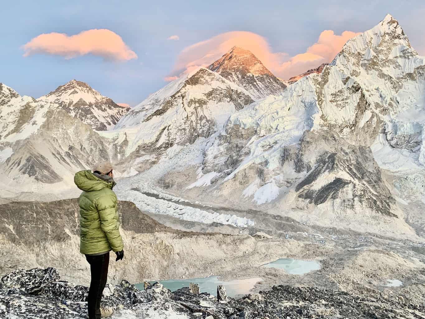
The Mount Everest Base Camp trek is undoubtedly one of the most popular multi day treks in the world.
The 11 day hike takes you from the mountainside village of Lukla to Everest Base Camp and back, as you take in some of the most scenic landscapes that the Himalayas have to offer.
This guide will go over everything (yes, literally everything) you will need to know about the Everest Base Camp trek experience, how to prepare for it, and what to expect along the way.
* Affiliate Disclosure : This post may contain affiliate links, which means I may receive a commission if you make a purchase through the links provided, at no additional cost to you. Thanks for supporting the work I put into TripTins!
1) Everest Base Camp Trek Introduction
The Everest Base Camp trek (also known as the EBC trek), is an 11 day out and back route that makes its way through Sagarmatha National Park of the Himalayas, where you will experience first-hand some of the best trekking that the world has to offer.
You will begin the trek in the village of Lukla at an elevation of 9,318 feet / 2,840 meters. Over the course of the first 8 days, you will slowly make your way further into the national park as you hike during the day and sleep in local villages at night.
Sometime on day 8 you will reach your final destination of Mount Everest Base Camp at an elevation of 17,598 feet / 5,364 meters.
Here is where the top climbers from around the world begin their ascent up the tallest mountain in the world – Mount Everest (29,029 feet / 8,848 meters).
On the final three days of the trek, you will retrace your route back down towards Lukla. Since this will be mostly downhill and you won’t need to spend time acclimatizing (more on that later), you will be able to complete the return journey in less than half the time.
To give you a high-level overview, here is a day by day breakdown of the Everest Base Camp trek , which I will dive further into throughout the guide.
Day 1 : Fly to Lukla | Hike to Phakding Day 2 : Phakding to Namche Bazaar Day 3 : Acclimatization Day | Hotel Everest View Day 4 : Namche Bazaar to Tengboche Day 5 : Tengoche to Dingboche Day 6 : Acclimatization Day | Nangkartshang Peak Day 7 : Dingboche to Lobuche Day 8 : Lobuche to Gorak Shep to Everest Base Camp to Gorak Shep Day 9 : Kalapattar Trek | Gorak Shep to Pheriche Day 10 : Pheriche to Namche Bazaar Day 11 : Namche Bazaar to Lukla Day 12 : Morning flight to Kathmandu
→ There are alternative villages to stay in during the trek, which could alter the route slightly. The above route is a pretty standard trek over the 11 days.
This is not just a simple trek though, which is why I wanted to lay out a complete and helpful guide to better prepare you for the experience, and answer any and all questions you may have about the route.
The remainder of this guide will do just that, so read on for everything you need to know about the Everest Base Camp trek.
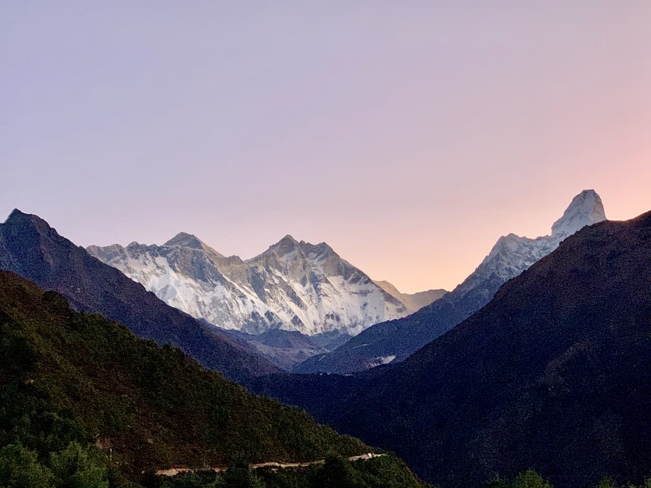
2) EBC Distance, Elevation Gain & Duration
I thought it may be helpful to first breakdown the stats of the Everest Base Camp trek.
Yes, it is an 11 day trek and yes, you do hike from 9,318 feet to 17,598 feet in elevation, but there is SO much more behind those numbers. Let’s dive into distance, elevation gain, and duration:
You will see a few different numbers thrown around here but I calculated the entire 11 day trek at 62 miles / 123 kilometers long.
That averages out to 7 miles / 11 kilometers per day, with the shortest days being in the 3 mile / 5 km range and the longest days around 12 miles / 19 km in length.
These numbers do include several additional highly recommended add-ons to the trek:
1) Day 3 round trip acclimatization hike up to the Hotel Everest View (from Namche Bazaar)
2) Day 6 round trip acclimatization hike up to Nangkartshang Peak (from Dingboche)
3) Day 9 round trip hike up to Kalapathar (from Gorak Shep)
Elevation Gain
For me, elevation gain is the most important number to look at when figuring out the difficulty of a hike.
A hike could be 20 miles long, but if it is all flat, then that can be a pretty easy trail to walk. On the other hand, there could be a hike at just 5 miles long, but it gains 5,000+ feet of elevation. A hike like that is going to be much tougher for most people.
During the Everest Base Camp trek, the total elevation gain is not just calculated as the difference in elevation between Everest Base Camp and Lukla (8,280 feet by the way), rather it is calculated by understanding the exact elevation profile of the entire journey.
Throughout a day’s hike, you may go down, go up, go down again, and then go up again. By adding up all of these inclines is how you will get to that true total elevation gain number.
With that said, the total elevation gain during the 11 day trek (including those three additional side hikes mentioned above), comes out to +24,000 feet / +7,300 meters.
You read that right, the actual elevation gain is nearly 3 times the number calculated by just looking at the difference between Lukla and EBC.
Below is a helpful Everest Base Camp elevation profile that shows the ups and downs that you will encounter during the trek. Note that the charts does not include the 3 additional hikes from above.
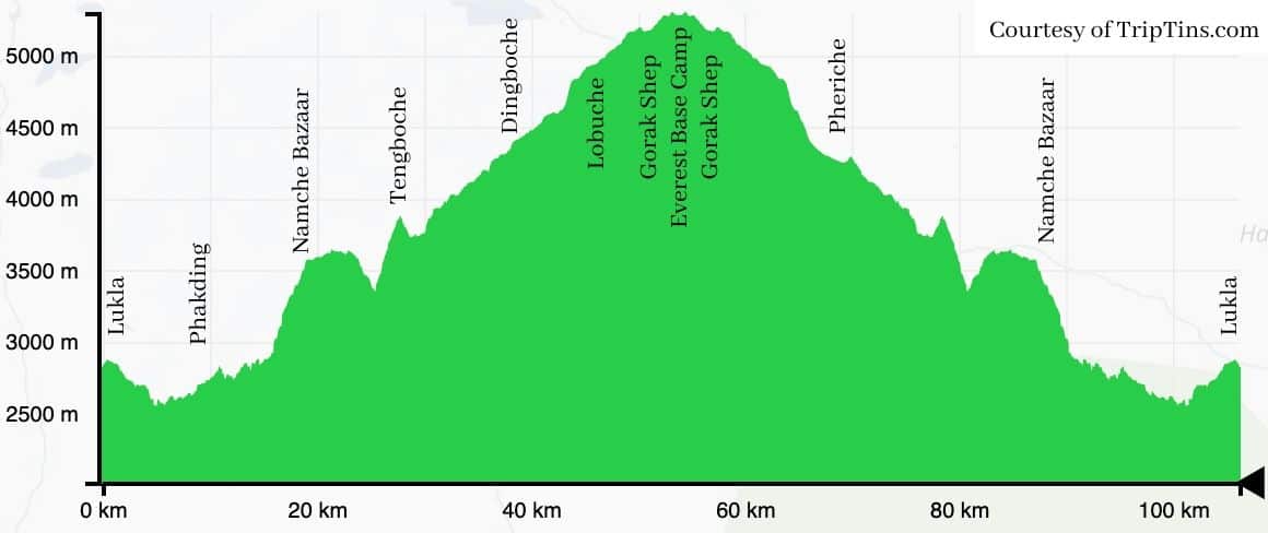
So, now that you understand the distances and elevation gains, how does that determine how much time you will actually spend trekking on a daily basis?
Well, on average you will be hiking around 5-6 hours per day. The shortest days will be around 3 hours long while the longest days can reach up to 8 hours on the trail.
This is not necessarily because the distances are so long, but it is more so the slow pace that you will be required to trek at due to the high altitude of the hike.
On the way up, on average, you should expect to hike around 1 mile (0.6 km) per hour. Yes, it does seem quite slow but when dealing with the incline and lower oxygen levels, that is where the average will be.
Of course, if you are an above average trekker, you can shave plenty of time off of those numbers. But either way, I would advise to go slower rather than faster due to the high altitude.
The chart below breaks down the day by day data behind distance, elevation gain, and duration throughout the entirety of the trek.
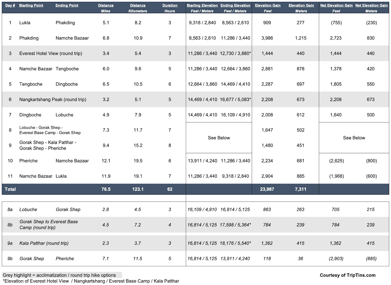
3) EBC Trekking Map
It may also be helpful to get a sense of what the Everest Base Camp layout looks like.
Below is a map with the various villages that you will be staying overnight in throughout the duration of the trail.
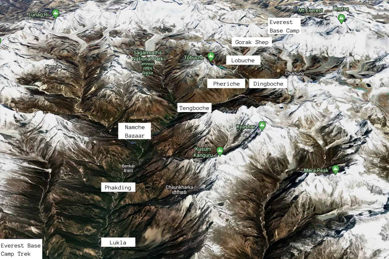
4) When is the Best Time to Trek to Everest Base Camp?
Now that you have a better background on the Everest Base Camp trek, your next step is to figure out exactly when to head out on your own.
Well, there are really only two main seasons that you will want to complete the trek – in the Spring from mid-March to May or in the Fall from mid-September to November/beginning of December.
Outside of these months the weather is either going to be too rainy, cloudy, cold or snowy, and it just would not make for optimal trekking conditions.
The Spring time period is a great season to go since that is when mountaineers will actually be attempting to climb Mount Everest itself.
They usually make their way on the same EBC route as normal trekkers do in mid/late March and then summit Everest in mid/late May. So, you may see climbers on the trail with you and you are likely to see an active base camp when you arrive there on day 8.
The weather also begins to warm up during this time period, as the snow tapers off from the winter and visibility is decent as well.
This is the more comfortable time of year to trek from a temperature perspective but you will have cloudier days and less visibility compared to the late Fall.
After the Spring trekking period ends, the rain then begins as it drenches the region during the Summer.
Starting in mid-September, the weather begins to improve and trekkers once again begin to flock to the region.
October and November are both great months to visit when it comes to visibility, with less clouds, and little to no rain.
As you move farther along into the Fall, it does get colder but it is arguably the best time of year to visit when it comes to visibility.
Once December rolls around, you will still have some people on the trail but the temperatures will drop significantly, snowfall will arrive, and many teahouses will close down for the Winter.
The most popular months (according to 2018/2019 data from the Sagarmatha National Park entry point office) are going to be April (12,386 visitors) and October (12,452 visitors), followed by November (8,869 visitors) and March (5,598 visitors).
At the end of the day, I wanted my experience to be all about the enjoying the landscape every day as much as possible.
That landed me with a mid-November trek, when visitors began to taper off but visibility was at an all-time high.
» Learn more in the article I wrote that dives deeper into why I choose a November EBC trek
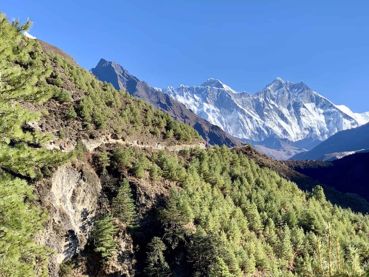
5) What is Acclimatization
I have mentioned it several times already, so it is time to talk about what acclimatization actually is.
For most people out there, to be 10,000+ feet above sea level is not what the body is used to on a day to day basis. The higher you ascend, the less oxygen there will be in the atmosphere.
This means that your body will need to adapt itself slowly over time to operate efficiently at these higher altitudes.
At Lukla for example, the starting point of the trek, oxygen saturation levels are already at just 73% of normal levels, while at Everest Base Camp, oxygen saturation drops to 50%!
Going up in elevation too quickly can result in altitude sickness (dizziness, headaches, nausea) and potentially even more dangerous complications like cerebral and pulmonary edema.
To help prevent altitude sickness on the Everest Base Camp trek, it is common that acclimatization begins around 11,500-foot mark. Since Namche Bazaar (arrive on day 2) is just below that altitude, most people spend 2 or even 3 nights in the village to get their body better prepared for the rest of the journey.
Essentially the two main rules here to follow include:
» You should increase your altitude by no more than 1,000-1,600 feet / 300-500 meters per day (most days are just within this level)
» For every 3,000 feet / 915 meters of altitude gained, you should take a day off from going upwards (this will occur by days 2 and 5 of the trek, which is why days 3 and 6 are acclimatization days)
One way to help acclimatize in a more efficient way is to take part of acclimatization hikes during your “days off”.
Essentially, this means hiking up to a higher altitude so your body gets accustomed to the lower oxygen saturation, and then heading back down to sleep at a lower elevation to rest and recover.
So on day 3 for example, it is popular to head from Namche Bazaar (11,286 feet / 3,440 meters) to Hotel Everest View (12,730 feet / 3,880 meters), and then back to Namche.
On day 6, a similar hike is recommended by heading up from Dingboche (14,469 feet / 4,410 meters) to Nangkartshang Peak (16,677 feet / 5,083 feet) and back down.
While these hikes are by no means easy to do, they offer both 1) a safe way to better acclimatize yourself for the remainder of the journey and 2) incredible views of the surrounding Himalayan landscape that you certainly do not want to miss out on.
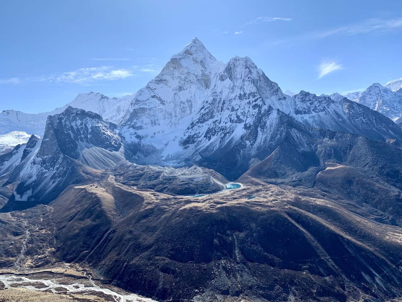
6) Altitude Sickness
Going off of acclimatization, it is important to also talk about the side of effects of altitude sickness and what it does to the body.
Even the most well-built athletes can experience altitude sickness on a trek like this. If your body is not used to these high altitudes, you must take it slowly and give it time to get accustomed.
Altitude sickness (or Acute Mountain Sickness – AMS) can come with a variety of symptoms, with the main ones including headaches, fatigue, dizziness, shortness of breath, nausea, insomnia, and lack of appetite.
These can start out pretty mild but if you continue along without letting your body recover, then the symptoms can continue to get more severe.
At the onset of any of these mild symptoms, it is important to just take 1-2 days to rest and not continue along the route.
If the symptoms completely disappear and you are back at full strength you should be able to continue. If they don’t improve though or begin to get worse, then it is time to head down to a lower altitude.
You should never continue upwards unless you are symptom free!
The higher you get, the higher the chance you have for worsening symptoms, which can get quite severe.
Two extremely dangerous forms of altitude sickness include high altitude cerebral edema and high-altitude pulmonary edema (HACE and HAPE).
HACE is when your brain begins to swell with fluids and HAPE is when your lungs begin to swell with fluid.
Symptoms for HACE and HAPE can include loss of coordination, memory issues, chest tightness, severe cough, among several other troubling signs.
If any of these begin to happen, you must descend immediately or even opt for a helicopter rescue back to Kathmandu.
These are potentially deadly symptoms to have so do be aware of how your body feels throughout the trek.
Besides for acclimatization to help prevent altitude sickness, many trekkers opt to take Diamox medication during the climb up.
Diamox helps prevent altitude sickness – it does not cure altitude sickness. So, if your doctor recommends it and you don’t have any side effects, you can take Diamox for the EBC trek (starting 1-2 days before the trek begins).
EBC Tip – take a dose or two of Diamox before heading out to Nepal under normal conditions to see if you have any of the more severe side effects from the medication (vomiting, drowsiness, blurred vision). From there you will know if it is safe for you to take on the trail itself.
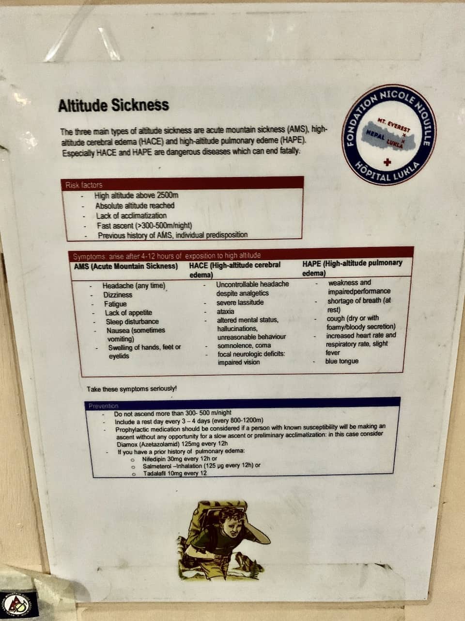
7) Everest Base Camp Trek Cost
The cost of the Everest Base Camp trek will fully depend on what type of experience you are looking for. I like to break it down into three main options: Fully Guided Trek , Independent Trek , or an Independent Trek with a Guide / Porter Guide / Porter.
Fully Guided Trek
These are your most high end trekking experiences to choose from. You can either join a larger group or opt for a private trekking tour, where everything from beginning to end will be taken care of for you.
There will be no worrying where to go or what to do. At every step of the way you will have English speaking locals and potentially Westerners, guiding you all along the way.
These treks can cost anywhere from $1,200 to $4,000+ depending on group vs. private and local vs. Western tours. They usually include the following but that can differ from tour to tour:
› Transportation to and from Kathmandu Airport
› Accommodation in Kathmandu before and after the trek
› Day tour in Kathmandu before or after the trek
› Flights to Lukla
› Trekking Permits
› English speaking guides
› Porters to carry your bags
› Teahouse accommodation and food
These types of treks can be booked with local Kathmandu tour agencies (on the lower end of the price scale) or with Western companies like REI, National Geographic, etc. (on the high end of the scale).
Independent / Do It Yourself
Instead of opting for the all-inclusive type tours, you can also just complete the trek on your own and care take of any logistics yourself. The main cost considerations to take in account for the 11 day trek include:
Teahouse Accommodation : $5 per night | $55 total
Food & Drinks : $7 per meal / 3 meals per day | $231 total
Trekking Permits : $17 (Khumbu Permit) + $25 (Sagarmatha Permit) | $42 total
Lukla Round Trip Flight : $360 total
Total Cost: ~$690 per person
The total for a DIY trip from a basic standpoint can come out to just around $690. So if you are on a budget then this is a great experience to take part of that keeps costs low.
This is assuming you come prepared with things like a power bank and water sterilizer, and don’t spend money on things like hot showers. More on all of that soon.
Guide / Porter Guide / Porter
Now, if you want a mix between a guided tour and a DIY option you can also opt to have a local guide, porter guide, or porter along with you on the trek. You still will have someone to guide you along the trail, but the price point will be lower than an all inclusive option.
In addition to the $690 above for the DIY option, you will want to add $30, $20 or $15 per day depending on which option you go with. The bolded number is the total cost including the $690.
Local Guide (+$30 per day / $1,020 total ): these will be English speaking locals who will walk alongside you for the duration of the trail. They will not carry your bags, but they will be able to answer your questions and teach you more about the region along the way.
Porter Guide (+$20 per day / $910 total ): a porter guide is a mix between a guide and a porter. They do not speak great English – just enough to get by, but they will carry your bag throughout the duration of the trail.
Porter (+$15 per day / $855 total ): porters will simply carry your bag for you during the trek. They speak little to no English and will not understand questions you may try to ask them.
A few things to note when hiring these locals for your trek:
» I would advise at least a 20%+ tip if you hire a local during your trip. This can be added to the daily prices above depending on how much you decide on.
» You can get connected with these locals by a Kathmandu tour operator or you could meet one in Lukla or Namche Bazaar .
» Many Kathmandu tour operators will give you the option to have a more all-inclusive price (includes accommodation and food), or just an option with the guide/porter guide/porter.
» You can also hire both a porter and a guide if you want to have your bags carried for you and have an English speaking local alongside you during the trek.
So, to wrap up you are looking at the following estimated breakdown:
Independent DIY : $690
Independent w/ Porter : $855
Independent w/ Porter Guide : $910
Independent w/ Guide : $1,020
All Inclusive Tour : $1,200+
→ To learn more, take a look at the Everest Base Camp Trek Cost breakdown that goes into detail about the above costs as well as additional costs to consider when in Nepal
Since we just got off the topic of costs, we might as well jump into the main considerations to expect along the trail. The following several sections will breakdown the main costs to consider along the way.
8) Trekking Permit
To take part of the Everest Base Camp trek you will need to purchase two trekking permits.
Both of these permits will be purchased on the trail itself. There is no need to purchase any sort of permit prior to Lukla.
Be sure to keep your permits in a safe spot as there are checkpoint spots during the trail, where you must show your permits – both at the start and end of the trek.
1) The Khumbu Pasanglhamu Rural Municipality Permit costs Rs 2000 / $17 USD and will be purchased on your first day on the trail just as you are leaving Lukla.
2) The Sagarmatha National Park Permit costs Rs 3000 / $25 USD and will be purchased on your second day on the trail between Phakding and Namche Bazaar.
You do not need to purchase a TIMS card for this trek in Kathmandu or on the trail. This was previously required but that is no longer the case.
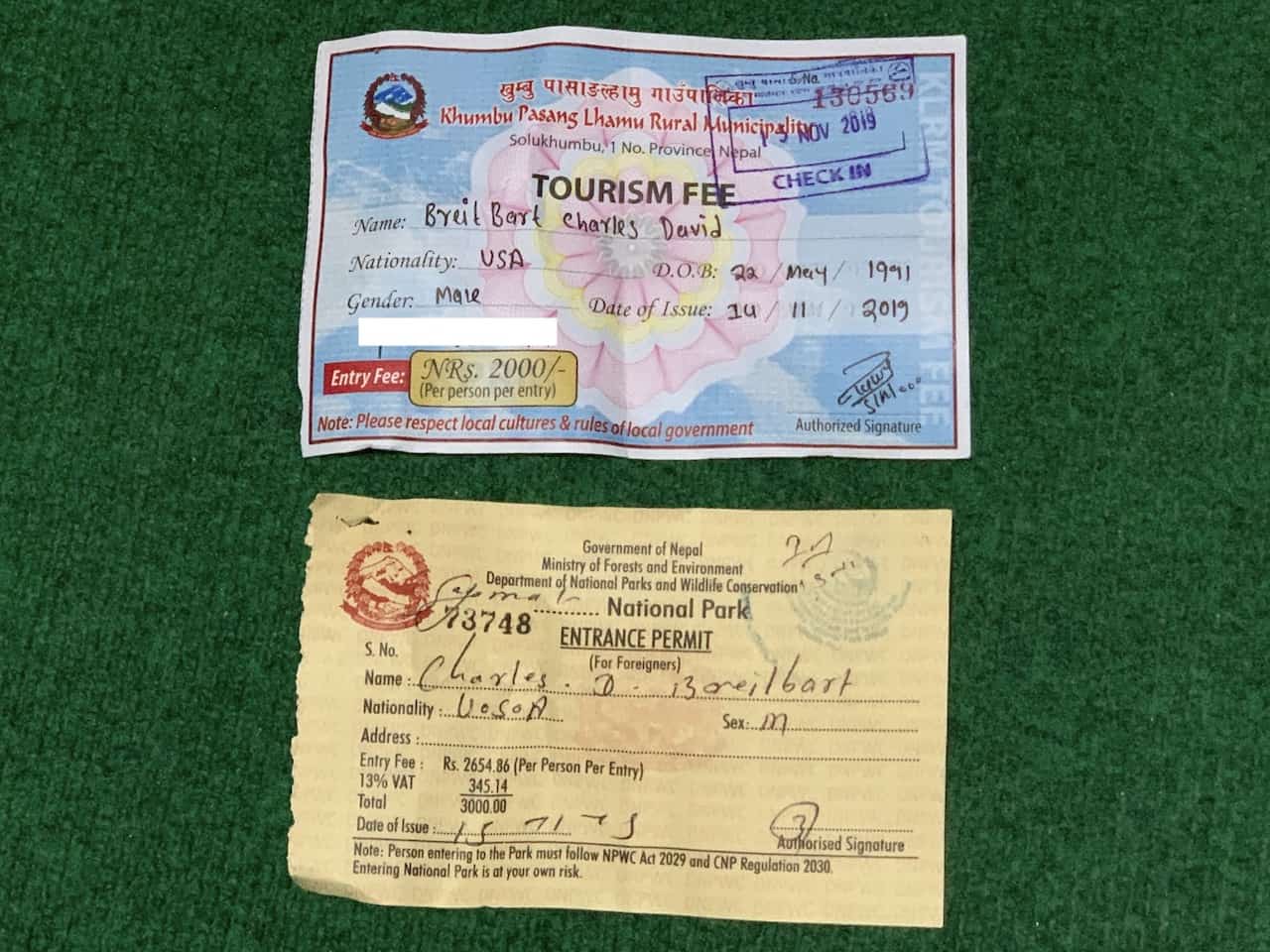
9) Teahouse Accommodation
During the duration of the trek, you will be sleeping in teahouse accommodations in the various villages.
These teahouses offer basic accommodation options that cost around $5 per night (Rs 500). The only place where prices were a couple dollars more was in Lobuche (night 7).
Note: these prices are based on the fact that you eat your meals in the teahouse. If you decide to not eat your meals in the teahouse, then they will charge you extra.
While some teahouses may be slightly nicer than others, I found for the most part that they offered very similar services and amenities.
You will have a small room with 1-2 beds (some places may offer 3+ bed option too), with a thin mattress, some hooks to hang clothes on, and a garbage basket. Besides that you won’t find much else in them.
The main hangout spot in these teahouses will be the common dining room area. Here is where all meals will be served and also where you will find the most important part of the teahouse – the fireplace.
In the early mornings and in the evenings, they will have the fire going to help warm you up as you eat your meals (and maybe as you play some card games after dinner).
On each floor of the teahouse you will find several restrooms. These may be just western toilets, just squat toilets, or a mixture of both. Outside of the restroom area, there will be 1-2 sinks to wash your hands in.
Below are some shots I took from the various teahouses I stayed in throughout the trek.
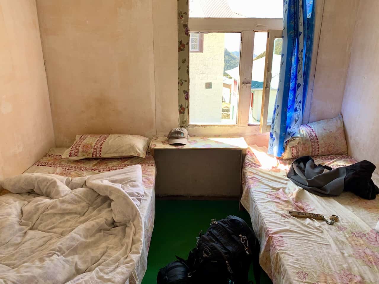
10) Food on the Trek
The great thing about teahouses is that they offer 3 meals a day with a whole variety of food options. I was pleasantly surprised by the selection of food that I got to choose from on a daily basis and how good it all tasted. Some of the classic options include:
Breakfast : different style of eggs, French toast, pancakes, porridge and toasts
Lunch/Dinner : Soups, Noodles, Potatoes, Momos (dumplings), Pizza, Rice, Spring Rolls, Steak, Burgers and of course the famous Dal Bhat.
→ Dal Bhat by the way is a local dish comprising of rice, veggies, and lentils. You can get a free refill on it as well making it a favorite among trekkers.
→ You will also find plenty of drinks to choose from included a wide variety of tea, soft drinks, beer, and water.
Water is one of the most important parts of an Everest Base Camp trek .
You will want to make sure you stay well hydrated throughout the trek, especially due to the high elevations. While you can purchase water throughout the trek for $2-$4 per bottle, I would highly recommend bringing along a SteriPEN UV Water Purifier .
Bringing along a purifier will allow you to fill up a water bottle using water from the teahouse (tap or kitchen) and then sterilize it using the pen.
So, instead of spending money every day on water, you simply can invest in a purifier and fill up for free all along the trail.
I would usually get a tea and a main course dish, which would come out to around $5-$9 (Rs 600 – Rs 1000) depending on meal.
Sometimes it was a bit more, sometimes a bit less. Below are a couple menus pics that you can browse through to get a better idea on prices as well as some photos of dishes I tried on the trail.
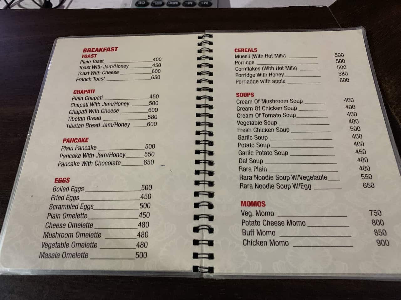
11) Showering / Hygiene
If you didn’t realize before, I never mentioned showers when I spoke about teahouses. That is because teahouses don’t have (free) public showers available.
Many, but not all teahouses will have one or two hot showers (from solar power) that cost around $5 – $10 or so depending on where on the trail you are.
So, if you want to stay clean all throughout the duration of the trek, you will want to add an additional $70 or so to your budget.
While hot showers are great, it is also important to note that some showers may not be hot per se, but more so warm showers. You should also be prepared to be quite cold right after the shower, as you will be then exposed to some frigid temperatures once done.
And lastly, the hot showers won’t always be available as they are based on solar energy. If there isn’t enough juice to keep the teahouse running then showering may not be a possibility.
» A quick drying towel is a must (I have been using the Rainleaf Microfiber Towel during my travels). No other towels will stand a chance of drying at those low temperatures.
» Shower / wash up right when you get to the teahouse. As the day goes on, it just gets colder and you will feel less and less inclined to get wet.
If you are wondering how to stay clean without showering then here are some helpful tips:
» Bring along body deodorizing wipes ( Alcala Bamboo Deodorizing Body Wipes recommended ), that remove all the dirt and sweat from your skin, leaving you feeling much more refreshed after a day of hiking.
» You can use the sink water (can purify it with your water sterilizer if you would like) to wash your face.
» Some teahouses offer the chance to purchase a “warm water washing bowl” for $2-$3, that can be used to wash your face and other parts of your body.
12) WiFi / Cell Coverage
Staying connected is something many people think about when heading out on long treks like this one. To help solve that, there is an Everest WiFi system in place that many teahouses are a part of.
This WiFi system is called Everestlink , and all you need to do is connect to the teahouse WiFi, input your username and password from the receipt, and you should be good to go. It worked surprisingly well on the trail and was great to use to get weather updates and connect with family.
Prices can fluctuate a bit for the WiFi, but expect around $6 for 1 GB, $20 for 10 GB, and $25 for 20 GB.
You can buy these directly at teahouses along the trail. By inputting the username and password each time, the network will be able to track how much data you are using.
You can also get connected by purchasing an Ncell SIM card in Kathmandu prior to heading to Lukla. I paid $10 or so for one at the airport, and had great service up until the Tengboche / Pangboche area. Once past there though, I barely got any service at all.

13) Charging Electronics
Another thing that I did not mention you will find in your teahouse rooms are outlets. That is because outlets are not offered in teahouse rooms.
If you want to charge your electronics, you must give them to the teahouse, who will then charge your devices for you (and charge you a price for doing so).
This will also vary based on where you are on the trail but expect to pay around $4 for a phone charge, $6 for a camera charge, and $8 for a power bank charge.
Charging your electronics daily can certainly add up in cost depending on what you bring along on the trail. Due to this, I would highly recommend purchasing a power bank solar charger prior to heading out on your trip.
My recommended solar charger is this Anker 20,000mAh Solar Power Bank
I had the charger fully charged and ready to go prior to the trek and it lasted me the entire trail without needing to recharge it or pay extra for charging any of my devices.
Two helpful tips about bringing along a solar charger – 1) be sure to hook it onto your backpack during the day using a carabiner so it can charge while you are trekking. 2) Once you get to the teahouse, leave the charger in the sun to continue its charge.
Note: you may find that your teahouse in Namche Bazaar offers free charging which can be great to help your electronics recharge for no cost on days 2,3, and 10 of the trail.
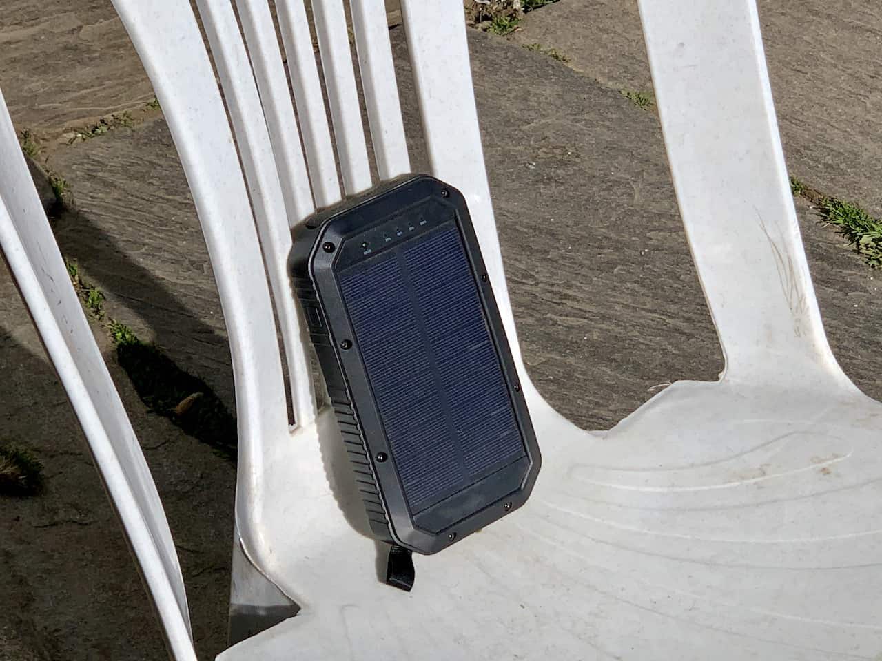
14) Lukla Flights
The most expensive part of the Everest Base Camp trek is most likely going to be the flights to/from Lukla.
It is pretty standard that the main airlines who run the Kathmandu to Lukla route (Tara Air / Yeti Airlines, Summit Air and Sita Air), charge $180 each way, or $360 total.
Important Note : Flights sometimes only depart from Ramechhap, a 5-6 hour drive from Kathmandu. Be sure to check the latest flight schedules to better understand if Kathmandu offers departures during your trip.
If you are trekking during high season, I highly recommend booking your flights as soon as you know your dates. These are very small planes with only 15 or so available seats, so availability can be at a minimum here.
Another important note to point out is that these flights do get cancelled often. If the weather conditions are not perfect, the flights will not take off due to the dangerous landscape of the Lukla Airport.
For this reason, it is always good to leave some additional buffer days at the beginning and end of your trek in the chance that your flight does get cancelled.
Below are some helpful tips to know about the Kathmandu to Lukla flight:
↔ The flight lasts just about 30 minutes from take off to landing , covering 85 miles / 136 km.
↔ Be sure to sit at a window seat on the left side of the plane from Kathmandu to Lukla and the right side of the plane from Lukla to Kathmandu .
Also depending on aircraft, be sure to avoid the middle of the plane, where the wings can block some of your view. Note that you cannot book a seat beforehand – it is just first come first serve.
↔ The weight restriction is 15 kg / 33 lb (10 kg of check in / 5 kg of carry on) to bring onto the aircraft . You will need to pay some hefty fees per kilo if you go over the restrictions.
↔ Take the earliest flight of the day you can find . This will give you the best chance of not having your flight be cancelled by weather.
Note 1 : You can also opt for a helicopter ride in one or both directions. These run around $500 per person each way. By opting for a helicopter, you will not need to worry as much about your flight being cancelled due to the weather.
Note 2 : You can avoid the helicopters and flights altogether by adding several more days of hiking. You can do so by taking an 8 hour bus to either Jiri or Salleri followed by a 4+ day trek to Lukla.
» Learn plenty more about it all in the Kathmandu to Lukla Flight Overview on the site
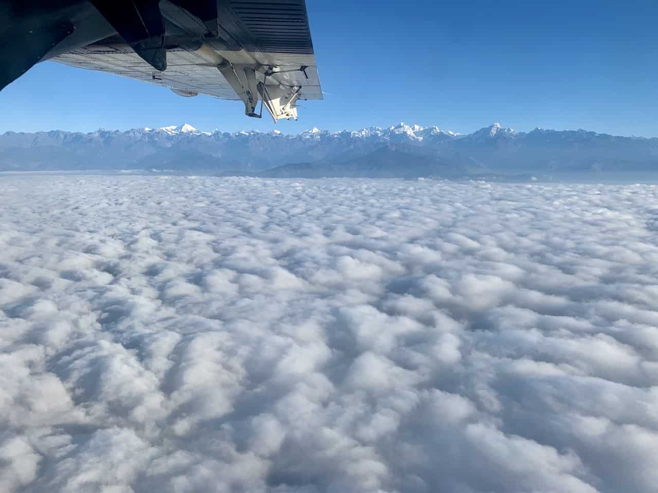
15) Travel Insurance
In a situation where you get altitude sickness and need to be medically evacuated, you sure don’t want to be stuck with a $2,500+ bill.
Instead, all you need to do is purchase travel insurance that covers you up to 20,000 feet in elevation.
That’s right, you will need to make sure that your specific travel insurance covers “extreme / high altitudes”. Be sure to check beforehand when purchasing insurance because many options do not cover these types of activities.
Considering travel insurance for the Everest Base Camp Trek? World Nomads offers coverage for more than 150 adventure activities as well as emergency medical, lost luggage, trip cancellation and more. For years, World Nomads has been protecting, connecting & inspiring independent travelers, offering travel insurance & safety advice to help you travel confidently. Their mission is to support and encourage travelers to explore their boundaries . World Nomads has simple and flexible travel insurance that has been designed by travelers for travelers. Even if you leave home without travel insurance or your policy runs out, you can buy or extend out on the road. Get a quote for a World Nomads travel insurance policy today!
16) Everest Base Camp Packing List
To have a successful Everest Base Camp trek, you will need to come prepared with the right gear.
Remember, this is an 11 day trek and it will very likely include some cold conditions along the way. By utilizing the packing list below, you should be in great shape with all necessary gear and other essentials.
The Everest Base Camp Trek Packing List I put together goes into detail about everything to bring along and will explain more thoroughly why certain items are recommended.
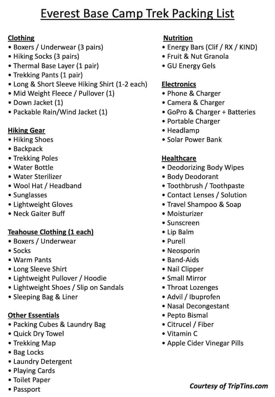
Here are a few additional tips when it comes to the packing list:
» All of your clothing should be made of moisture wicking materials such as Dri FIT, polyester, or wool. These types of materials do not trap moisture and instead keep you dry and comfortable as you are hiking the trails.
» Be sure to keep your electronics in your sleeping bag at night . If you did not know, leaving electronics out in the cold kills their batteries much faster than normal.
If you keep all your electronics / batteries in your sleeping bag at night, you have a better chance to preserve those much needed charges during the duration of the hike.
» You can rent a down jacket and sleeping bag in Kathmandu if you do not want to bring those two larger items with you from abroad.
If you are missing any other items, you should also be able to find most of them in Kathmandu before you head off to Lukla.
» Bring along more cash than you will need .
Cash is king on the EBC trek and you will need to pay for all your food, accommodations, tips, and other purchases with local Nepalese Rupees (you may be able to pay with USD for permits but rupees will be needed otherwise). Be sure to bring enough cash (and then some) from Kathmandu.
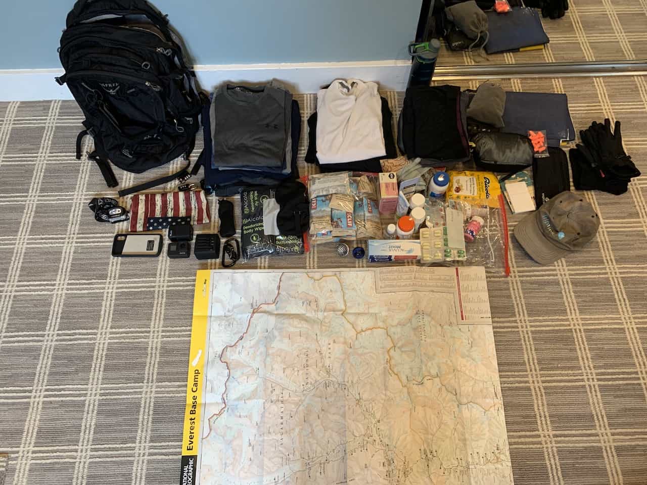
17) The Everest Base Camp Trek
Now that you have a ton of background on the trek and how to best prepare for it, let’s talk a bit about the trek itself.
There are 11 days of beautiful trekking that awaits you, and below are some tips followed by a breakout of those 11 days along with some data, short descriptions, and images of the trail.
Hiking Tips & Notes
» If you are trekking during high season and are not taking part of an all inclusive tour, then be sure to get an early start to your days .
Teahouses in smaller villages like Lobuche and Gorak Shep can run out of space. It is common for people to sleep in the dining area during high season because of this, so starting your day early can better guarantee that you get a room.
» If you are hiring a porter or guide, they can also help out by calling teahouses ahead of time to reserve a spot for you.
» There are a ton of animals making their way on the trail in both directions – yaks, horses, donkeys, etc. You not only will need to watch out for them as you are trekking but you also will need to watch out for all their bodily waste.
» The terrain on the trail will be a mix of stone, dirt, rocks, and sand so be prepared for a bit of everything during your time on the trek.
You will have some easy flat sections combined with some more technical inclines and declines. Each day will offer something new.
Below are the day by day stats and info for the EBC trek. I won’t go into so much detail here because I have already put together separate guides for each and every day of the trail.
You can click on those links as you are reading through if you would like to learn more about a certain day and what to expect out there.
Everest Base Camp Trek Day 1: Lukla to Phakding
Duration : 3 Hours
Distance : 5.1 miles / 8.2 km
Starting Elevation : 9,318 ft / 2,840 m
Ending Elevation : 8,563 ft / 2,610 m
True Elevation Gain : 909 ft / 277 m
Net Elevation Gain : -755 ft / -230 m
Learn More → Lukla to Phakding Day 1
After flying in from Kathmandu, you will arrive in the mountainside town of Lukla. Once landed you can have a small breakfast, and then begin your Mount Everest Base Camp Trek!
The first day of trekking is a relatively easy one. You will start in Lukla, make your way through town, get the first of your two permits and be on your way to Phakding from there.
This will actually be a net loss elevation day as Phakding is lower than Lukla, however you will have some inclines sprawled throughout as well.
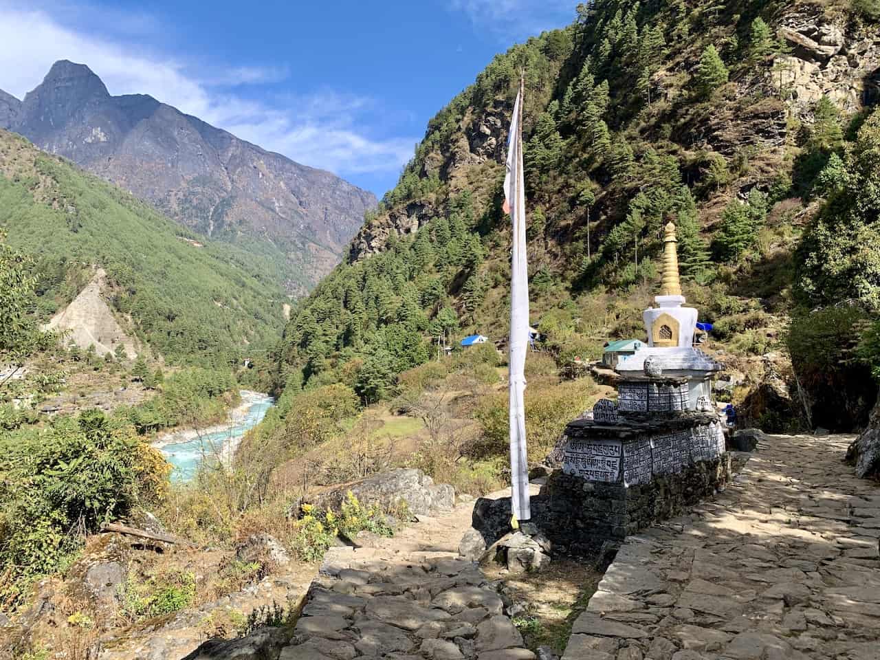
Everest Base Camp Trek Day 2: Phakding to Namche Bazaar
Duration : 7 Hours
Distance : 6.8 miles / 10.9 km
Starting Elevation : 8,563 ft / 2,610 m
Ending Elevation : 11,286 ft / 3,440 m
True Elevation Gain : 3,986 ft / 1,125 m
Net Elevation Gain : 2,723 ft / 830 m
Learn More → Phakding to Namche Bazaar Day 2
Day 2 will bring you from Phakding to Namche Bazaar and is one of the most demanding on the trek from an elevation gain perspective.
You will pass by several small villages throughout the journey as you make your way across suspension bridges and along the river as you inch closer to Namche.
Along the way you will need to purchase the second of the two permits as you officially enter Sagarmatha National Park. Towards the end of the trek, you will also get your first glimpse of Mount Everest (on a clear day that is).
After a long day of hiking, you will arrive in the largest and most eventful village of the trek – Namche Bazaar.
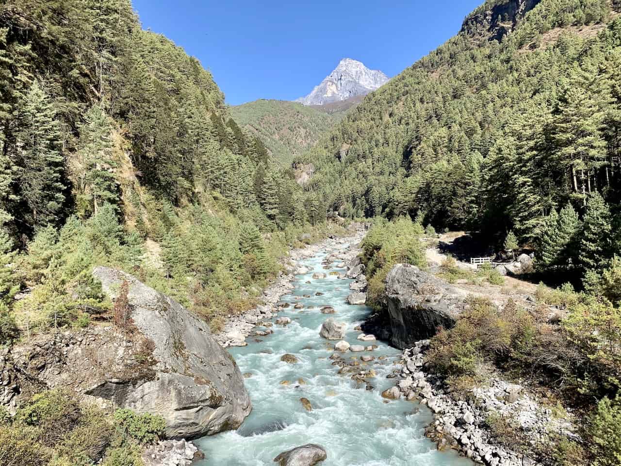
Everest Base Camp Trek Day 3: Namche Bazaar Acclimatization Hike – Everest Hotel View
Distance : 3.4 miles / 5.4 km
Starting Elevation : 11,286 ft / 3,440 m
Ending Elevation : 12,730 ft / 3,880 m
True Elevation Gain : 1,444 f / 440 m
Net Elevation Gain : 1,444 f / 440 m
Learn More → Namche Bazaar Acclimatization Day 3
If you remember from earlier on in this guide, day 3 is going to be an acclimatization day. So, you can leave your bags behind in the teahouse and just bring along a daypack as you head up to Hotel Everest View.
This hotel is located up in the mountain above Namche, and it makes for the perfect hike to get your body acclimatized to the altitude. Once you reach the hotel, you can head on back to the outdoor deck, have some food/drinks and enjoy the view of the Everest Mountain Range.
Note: I would also recommend a visit to the Sagarmatha National Park Museum, which you can visit before (potentially for sunrise) or after the trek up to the hotel.
From the museum you will get a great view of the valley with Everest and the surrounding mountains out in the distance.
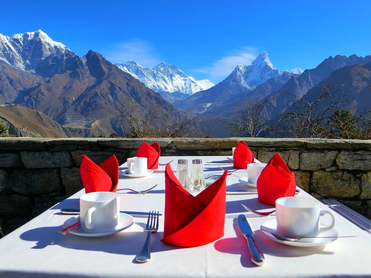
Everest Base Camp Trek Day 4: Namche Bazaar to Tengboche
Duration : 5 Hours
Distance : 6.0 miles / 9.6 km
Ending Elevation : 12,664 ft / 3,860 m
True Elevation Gain : 2,881 ft / 878 m
Net Elevation Gain : 1,378 ft / 420 m
Learn More → Namche Bazaar to Tengboche Day 4
After spending two nights in Namche, it is off to the village of Tengboche. This is another one of those days where looking at just the net elevation gain between the two villages is a bit misleading.
Although the two are just 1,800 feet / 550 meters apart in elevation, you will actually be gaining closer to 2,300 feet / 700 meters of elevation. This is because there are some longer up and down sections during this portion of trail.
While you will begin the hike along the valley wall with the river down below and Everest out in the distance alongside Nuptse and Lhotse (and Ama Dablam off to the side), the trail will then head downwards closer to the river.
After that it is back up towards Tengboche as you zig zag your way along the terrain.
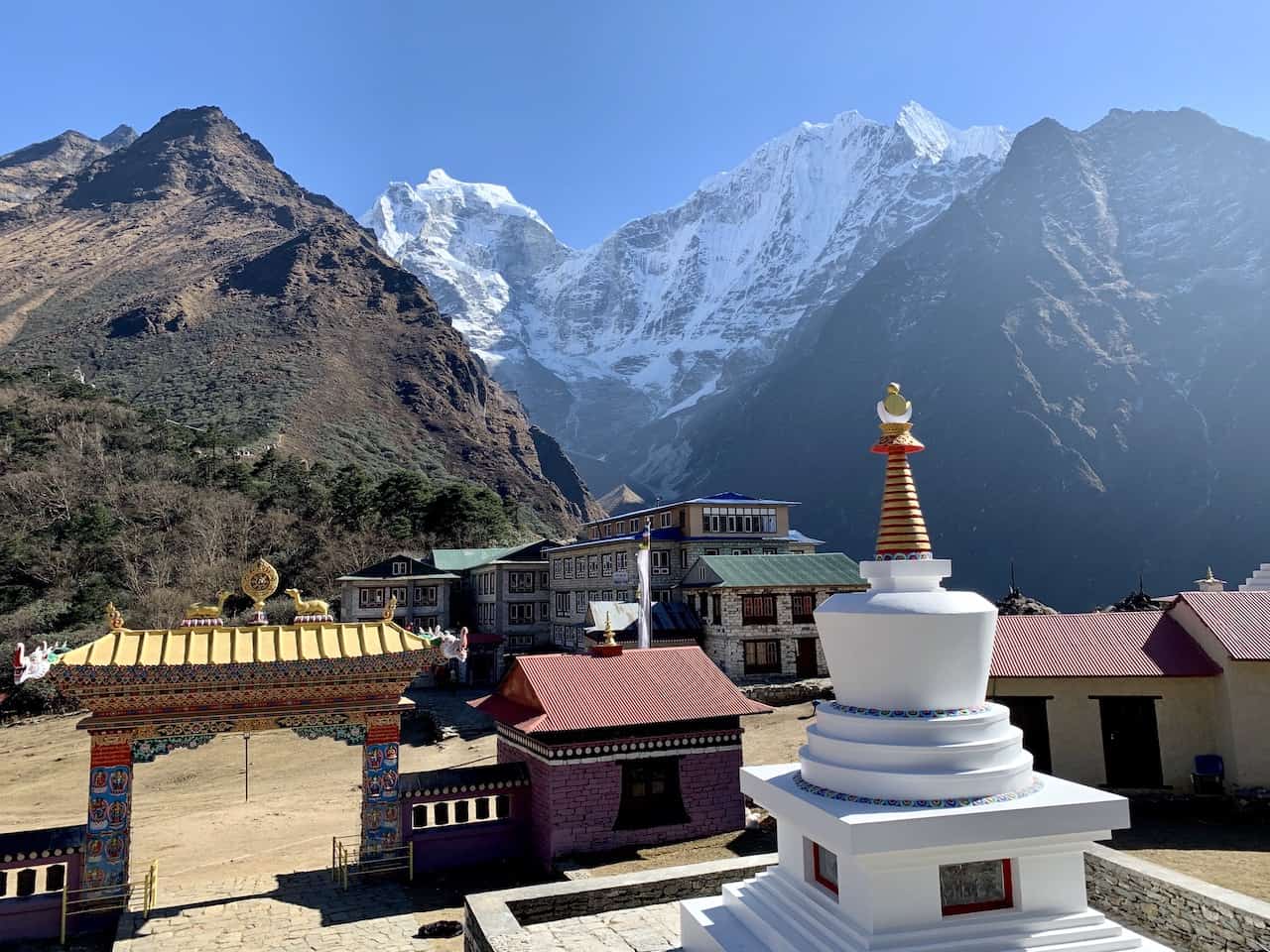
Everest Base Camp Trek Day 5: Tengboche to Dingboche
Duration : 6 Hours
Distance : 6.5 miles / 10.5 km
Starting Elevation : 12,664 ft / 3,860 m
Ending Elevation : 14,469 ft / 4,410 m
True Elevation Gain : 2,287 ft / 697 m
Net Elevation Gain : 1,805 ft / 550 m
Learn More → Tengboche to Dingboche Day 5
Before heading out to Dingboche, be sure to check out the Tengboche Monastery in the village (either in the afternoon of day 4 or the morning of day 5).
After leaving Tengboche it is a scenic hike mostly done on the valley wall, as you continuously head higher up the valley.
Ama Dablam will be getting closer and closer on your right hand side, and you will pass through the village of Pangboche along the way.
Continue to follow the etched pathway in the mountainside before crossing over the river and then up to Dingboche to end your day.
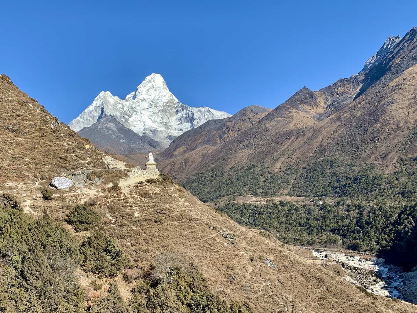
Everest Base Camp Trek Day 6: Dingboche Acclimatization Hike – Nangkartshang Peak
Distance : 3.2 miles / 5.1 km
Starting Elevation : 14,469 ft / 4,410 m
Ending Elevation : 16,677 ft / 5,083 m
True Elevation Gain : 2,208 ft / 673 m
Net Elevation Gain : 2,208 ft / 673 m
Learn More → Dingboche Acclimatization Day 6
Similar to day 3 of the trek, day 6 will be your second acclimatization day to take part of. This time you will get the chance to hike up Nangkartshang Peak, the mountain that sits right behind Dingboche village.
It is no easy climb to the top as you make your way up 2,208 ft / 673 m, but the views along the way and at the summit are some of the best you will get on the trail.
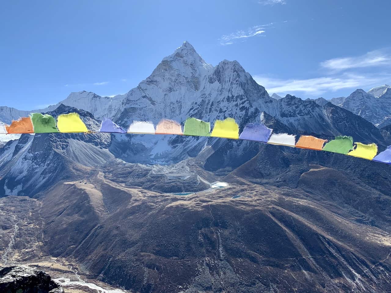
Everest Base Camp Trek Day 7: Dingboche to Lobuche
Distance : 4.9 miles / 7.9 km
Ending Elevation : 16,109 ft / 4,910 m
True Elevation Gain : 2,008 ft / 612 m
Net Elevation Gain : 1,640 ft / 500 m
Learn More → Dingboche to Lobuche Day 7
Now that you are better acclimatized to the altitude, you will continue the trek up the valley to the village of Lobuche.
Today is a relatively easy day as you won’t be dealing with much steep/technical terrain, as you hike alongside the mountainside towards the Khumbu glacier out in front of you.
During the trek, you will pass by the small village of Thukla before climbing the Thukla pass (the toughest section of today’s climb), and then walking alongside the Khumbu glacier to Lobuche.
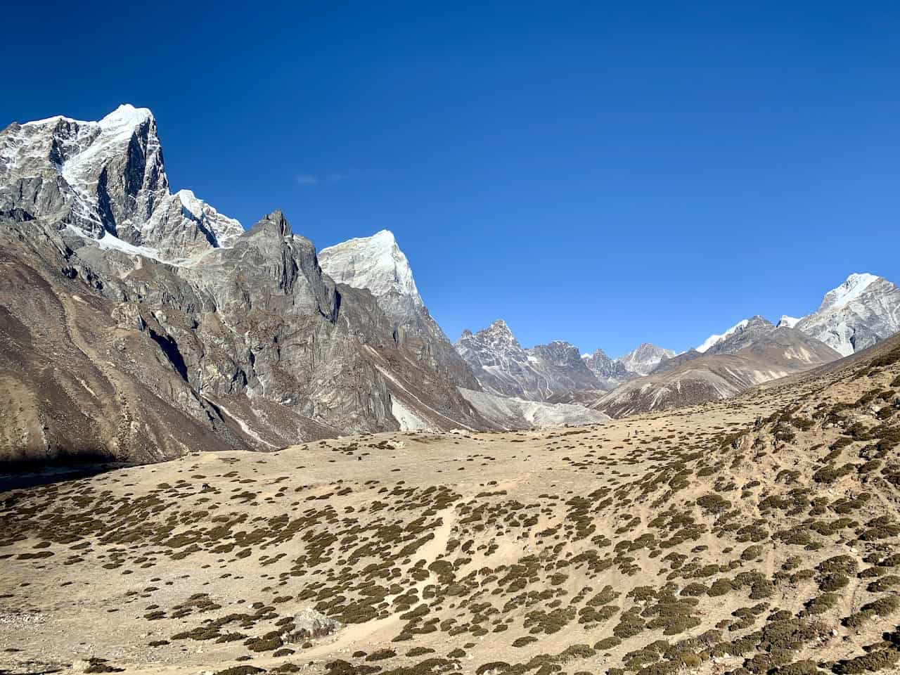
Everest Base Camp Trek Day 8: Lobuche to Gorak Shep + Everest Base Camp
Distance : 7.3 miles / 11.7 km
Starting Elevation : 16,109 ft / 4,910 m (Pheriche)
EBC Elevation : 17,598 ft / 5,364 m
Ending Elevation : 16,814 ft / 5,125 m (Gorak Shep)
True Elevation Gain : 1,647 ft / 502 m
Net Elevation Gain : 1,489 ft / 454 m (Lobuche to EBC)
Learn More → Lobuche to Gorak Shep & Gorak Shep to EBC Day 8
Day 8 is a big one on the Everest Base Camp trek as you will be heading to the highest village of the trek – Gorak Shep, followed by an afternoon of visiting Everest Base Camp itself.
You will begin the day early leaving Lobuche and hiking the 3 hour trail alongside the Khumbu glacier towards Gorak Shep.
Once you arrive in Gorak Shep, you can head to your teahouse, drop off your bags, have some lunch, and then begin the second part of the day.
Once you are all set, it is time to set off for Everest Base Camp. This 4 hour round trip hike, will take you from Gorak Shep, right alongside the Khumbu Glacier and ultimately to the final destination of Everest Base Camp.
At Everest Base Camp, you can enjoy the views of the Khumbu icefall that sits below Mount Everest alongside the surrounding mountains and landscape. You will be able to see just the tip of Everest from base camp, as you sit back and take in the views.
Once done, it is just right back to Gorak Shep, where you will spend the night before heading back towards Lukla on day 9.
Hiking Tip: If it is a clear day in the afternoon of day 8 I would recommend switching Everest Base Camp to day 9 and Kala Patthar to day 8 for sunset.
The clouds usually build up as the day goes on which can ruin sunsets over Everest, and is why most people just opt for Kala Patthar on the morning of day 9. If it does happen to be clear though in the afternoon of day 8, then I would opt for the switch.
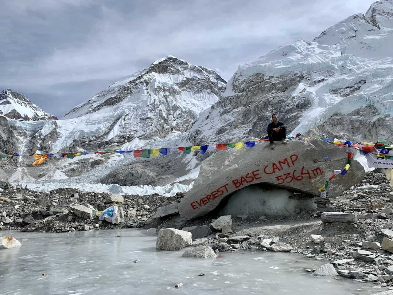
Everest Base Camp Trek Day 9: Kala Patthar + Gorak Shep to Pheriche
Duration : 8 Hours
Distance : 9.4 miles / 15.2 km
Starting Elevation : 16,814 ft / 5,125 m (Gorak Shep)
Kala Patthar Elevation : 18,176 ft / 5,540 m
Ending Elevation : 13,911 ft / 4,240 m (Pheriche)
True Elevation Gain : 1,480 ft / 451 m
Net Elevation Gain : -2,903 ft / -885 m (Gorak Shep to Pheriche)
Learn More → Kalapathar Trek & Gorak to Pheriche Day 9
Before heading back towards Lukla, you will have the chance to climb to the highest point of the Everest Base Camp trek – Kala Patthar. At 18,176 ft / 5,540 m, it not only is the highest point of the trek, but it also offers the best views of Mount Everest.
If you didn’t head there for sunset on day 8, you can opt for a sunrise or early morning trek on day 9 to the summit. Throughout the climb up, the views will just get better and better until you reach the peak.
From there you will have a good chunk of Everest out in front of you with the icefall, glacier, lakes, and surrounding mountains completing the landscape.
Once complete with your time up on Kala Patthar, it is back to Gorak Shep, where you will pack up and begin the trek back. The rest of the day will be spent heading from Gorak Shep to Pheriche as you retrace your route through the Khumbu.
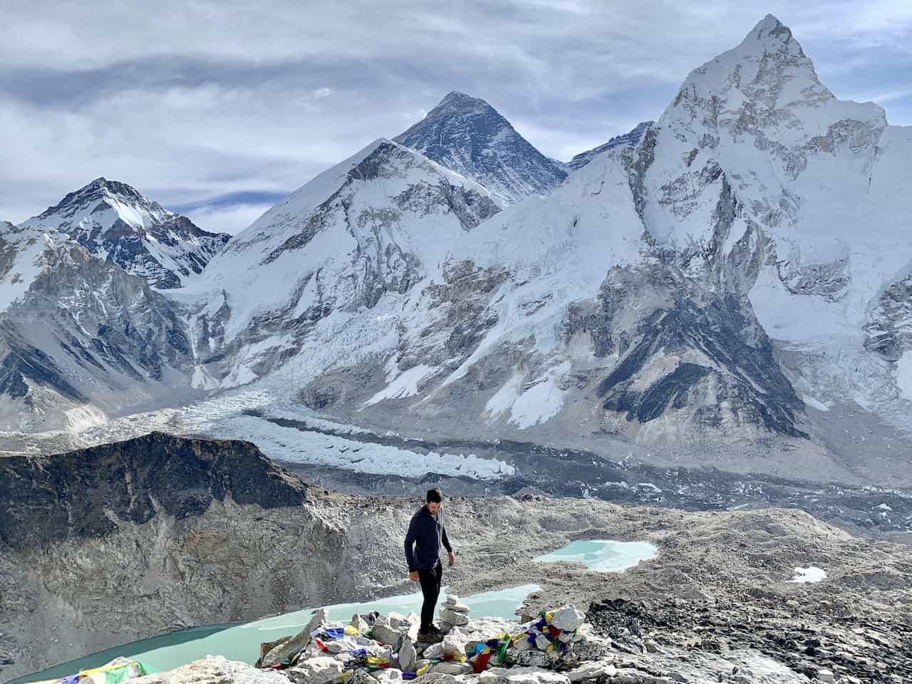
Everest Base Camp Trek Day 10: Pheriche to Namche Bazaar
Distance : 12.1 miles / 19.5 km
Starting Elevation : 13,911 ft / 4,240 m
True Elevation Gain : 2,234 ft / 681 m
Net Elevation Gain : -2,625 ft / -800 m
Learn More → Pheriche to Namche Bazaar Day 10
Day 10 will have you continuing that route back to Lukla as you make the long 12.1 miles / 19.5 km trek from Pheriche to Namche Bazaar. Most of the day will be similar to days 4 & 5 as you just head in the opposite direction.
While this is a day where you will be losing a lot of elevation, there will still be some strenuous uphill sections throughout the trek. At day’s end though you will be right back in Namche Bazaar, where you will spend the night.
Tip: if you did not visit the Sagarmatha National Park Museum above the village earlier on in your trek, I would recommend heading there when you arrive in Namche on day 10 or on day 11.
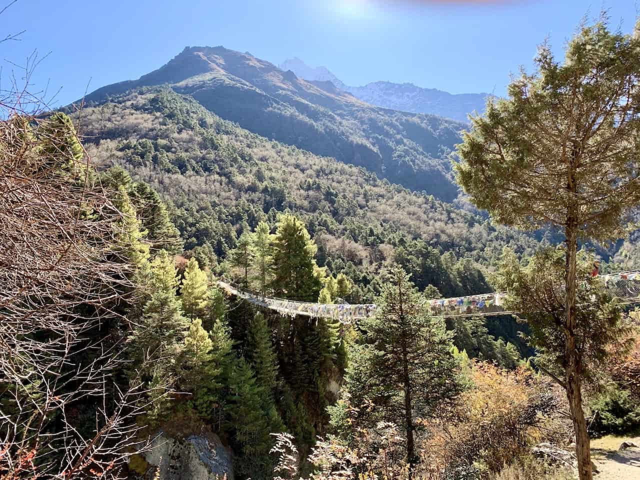
Everest Base Camp Trek Day 11: Namche Bazaar to Lukla
Distance : 11.9 miles / 19.1 km
Ending Elevation : 9,318 ft / 2,840 m
True Elevation Gain : 2,904 ft / 885 m
Net Elevation Gain : -1,968 ft / -600 m
Learn More → Namche Bazaar to Lukla Day 11
The final day of the Everest Base Camp trek takes you from Namche Bazaar back down to Lukla. This will be the same route as days 1 and 2 as you retrace your steps and make your way to the starting point of the trail.
Along the way you will pass by that first initial viewpoint area (day 2), where you can get a final glimpse of Mount Everest before losing a good amount of elevation towards Phakding. There will be plenty of suspension bridges, river views, and small villages to enjoy along the way.
Once you arrive in Phakding, you can take a nice break before finishing up the last portion of trail towards Lukla. This final section from Phakding to Lukla will be an uphill climb as you complete 11 days of trekking the Himalayas.
After arriving back in Lukla on day 11, it is just one more overnight in a teahouse before catching your flight back to Kathmandu on day 12.
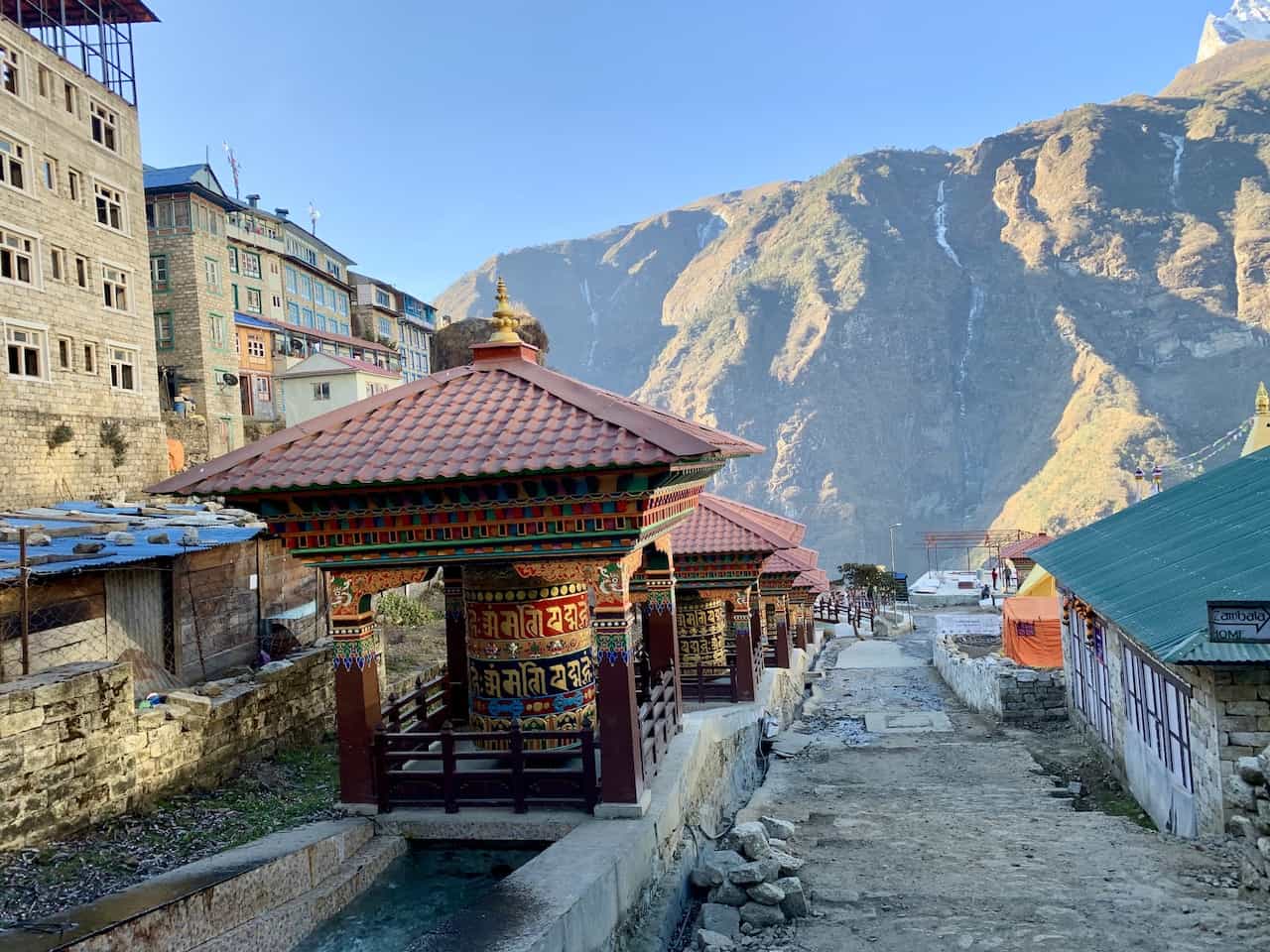
18) Additions to the Trek
While the Everest Base Camp trek is the fan favorite here, there are many other additions that can be added to your time on the trail if you would like to spend even more time exploring the Himalayas. Below are a few of those options:
Three Passes Trek
The Three Passes trek is a longer 16+ day journey that takes you up and down three strenuous mountain passes as you make more of a loop around the region.
There will be plenty of overlap with the normal EBC route, but you will also get to enjoy highlights such as Chhukung Ri, Kongma La Pass, Cho La Pass, Renjo La Pass, Gokyo Lakes, and Gokyo Ri.
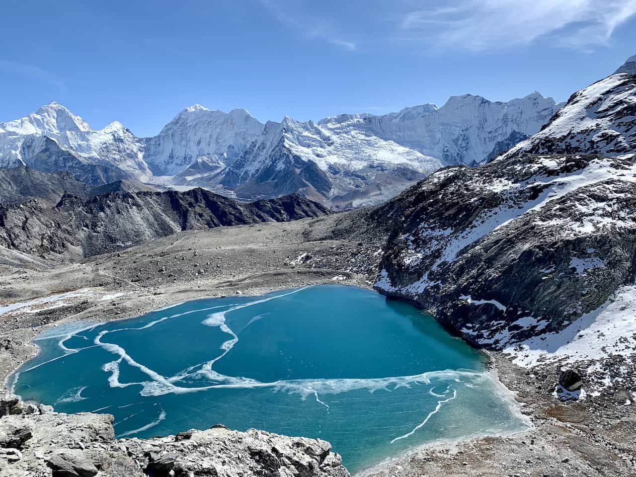
Gokyo Lakes
Another option here is to just add in the Gokyo Lakes on top of Everest Base Camp.
This can be done in a few ways but one of the most popular choices is to visit EBC, then head towards the Cho La Pass to Gokyo, and then back to Namche, which can be done via the Renjo La Pass if you choose.
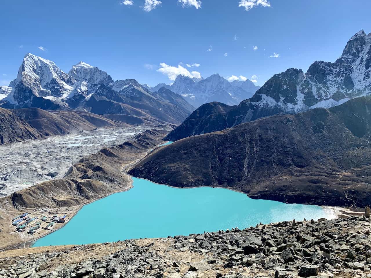
Island Peak
For the more intense climbers, there is an option to climb up Island Peak (20,305 ft / 6,189 meters) from the village of Chhukung.
While it is a high climb, it is not the most technical one, and could be a great option for those that want to finally cross the 20,000 feet / 6,000 meter threshold.
Jiri/Salleri
You also have the chance to avoid the flights to and from Kathmandu. Instead of flying in, you could take an 8 hour bus ride to either Jiri or Salleri.
From these two towns you are looking at a 4+ day route that takes you up to (or down from) Lukla as you explore a much less frequented region of the Himalayas.
19) Everest FAQs
By now you should be a full-on expert about the EBC trek. But I thought it may also be helpful to answer some of the most frequently asked questions regarding the trek in general (many of which can be found somewhere in the guide).
How Long Does It Take to Trek to Everest Base Camp?
11 days is the standard amount of time for the Everest Base Camp trek (as this guide has laid out).
However, you can extend the trek by a couple days if you would like to better acclimatize on the way up by spending 3 nights in Namche instead of 2. You can also add a day on the way down to better spread out some of the longer hiking days.
How Hard is it to Trek to Everest Base Camp?
It really depends on your hiking experience and your general fitness. For some people, this can be a walk in the park.
For others, it can be extremely difficult and an unattainable goal. In general, this is considered a more difficult trek than other multi day hiking routes you may have come across.
This is mostly due to the fact that you are not only hiking 5+ hours and gaining a couple thousand feet of elevation per day, but you also are doing it all above 10,000+ feet of altitude.
How Fit Do I Have to be to Trek to Everest Base Camp?
As just mentioned above, you do need to be relatively fit and have some solid hiking experience to complete the trek to Everest Base Camp.
It is not only about spending so much time on your feet each day, but it is also the large amount of elevation gain and loss that you will come across throughout the entirety of the trek.
I would be sure to spend time training, whether that be at the gym on a stairmaster or out in your local mountains.
Is the Trek to Everest Base Camp Dangerous?
From a terrain standpoint, the Everest Base Camp trek is no more dangerous than any other hike around. However, from an altitude standpoint, the trek can be quite dangerous for those who do not acclimatize well.
During my time on the trail I came across several groups of people, who had fellow hikers evacuated out by helicopter to Kathmandu or by foot down to Lukla.
You may be as fit as can be, but if your body does not react well to the altitude then you will be putting yourself in more danger.
When is the Best Time to Trek to Everest Base Camp?
In my eyes, November is the best time to trek to Everest Base Camp. This is mainly due to two reasons – the weather and the crowds.
In order to truly enjoy the Himalayan landscape, you will want the weather to be as clear as possible. You will also want to enjoy a less crowded trail and not worry about teahouses filling up.
A trek in November works for both these reasons and I would highly recommend heading there during that time. If that doesn’t work for you then a Spring visit would be my next recommendation.
Is Everest Base Camp Worth It?
The trek to Everest Base Camp is 100% worth the effort. From the natural beauty of the Himalayas to sleeping at local teahouses, the EBC trek offers it all and more.
Not only that but you also get to hike near the highest mountain in the world! No other trek can offer such an opportunity.
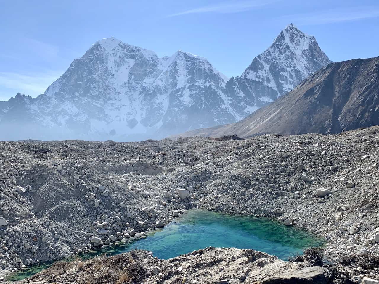
I hope this guide has given you a good sense of how to prepare for the experience and what to expect on the Everest Base Camp trek.
If you have any questions/comments about any of the above feel free to write them in below. I am happy to help out with any and all questions regarding the EBC trek.
All the guides linked throughout the article can be found on the Nepal itineraries and guides page up on the site.
Have fun out there and safe travels!
Related posts:
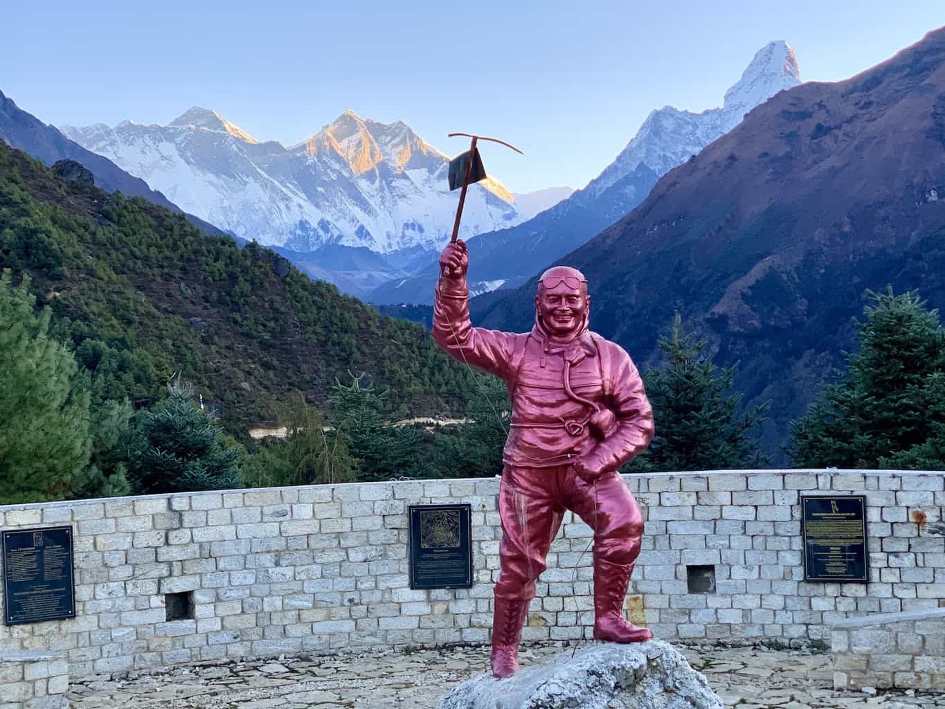
Sharing is caring!
Chitra Ghosh
Wednesday 31st of May 2023
Hi TripTins,
Kindly share your mail id for further communication about The Everest Base Camp Trek.
Thanks, Chitra
Monday 20th of March 2023
Hello. I have a (small) fear of heights. I have trekked over bridges and paths with drop offs, but am wondering if there are any (or many) sections of the trek on paths with particularly large drop offs to the side of the trail. Thank you.
Wednesday 22nd of March 2023
Hi Victoria - there is nothing I can remember about the trail that included large drop offs. You will have very high suspension bridges to cross over, and there will be instances where you are hiking along the mountainside. But the trail is certainly wide enough to have a safe enough area to hike without being close to the edge. If you are hiking up the side hikes such as Nangkartshang / Kala Patthar, you will expect some steeper inclines where a fear of height may come more into play.
Sunday 26th of February 2023
Hi there, thank you for all the great information. Do you have a tip how and where to book accommodation upfront? I found lots of places on Google maps, but most of them don't have a website. We are planning to go there in April (EBC and Gokyo without agency)
Monday 27th of February 2023
Hi Lars - there really isnt a way to book teahouses ahead of time (unless you have a local agency help you out). You really should have no problem finding availability once you arrive. The one spot where accommodation may be an issue would be Gorak Shep. But as long as you get a head start on the day and arrive on the earlier side there, you should not have an issue. Hope you have a great time!
Nepal Footprint Holiday
Thank you for such a great information and guidelines of this beautiful trek in the earth which is a dream for every nature and adventure lovers.
Every year thousand of people heading to this trek from Kathmandu. I do hope this information will be extra ordinary for every one.
Thanks keep posting updates. Bashu Thapaliya -and avid explorer from Nepal
Nimmy George
Thursday 18th of August 2022
Thank u so much…
Everest Base Camp Trek

- 1.1 Hiring guides/porters
- 3.1 Mount Everest
- 5 Sleep and buy
- 6 Stay safe
- 7 Stay healthy
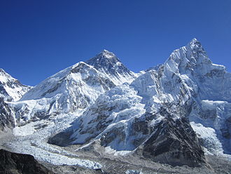
Everest Base Camp Trek is a famous challenging trek in Khumbu , Nepal .
For information on preparing for this trek, including when to go, what to bring, what permits are required, and safety precautions including altitude sickness, and water contamination, see Trekking in Nepal .
Understand [ edit ]
Famous for its spectacular mountain peaks and the loyalty and friendliness of its inhabitants (the Sherpas), the Everest region (Khumbu) is one of the most popular destinations for tourists in Nepal. While many of the routes through the mountains are arduous, there are ample places to rest and enjoy a meal along the way. Furthermore, don't worry about getting lost. Just ask a local the way to the next village on your route, and they will direct you. Most Sherpas under the age of 50 can at least understand basic English, and many speak it fluently.
While trekking is possible in this area the whole year round, the best times to visit are from the beginning of March to mid May and from the beginning of September to mid November. The winters are very cold and snow may make it difficult to travel higher than Tengboche , and also lodges may be closed above this altitude. Summers, on the other hand, are wet, and the spectacular peaks are often lost in the clouds. April and early May is a good time to see the hedgerows and trees bursting into bloom, with rhododendrons, in particular, adding a spectacular splash of colour to the landscape. However, dust from the plains of India during the spring routinely provide less than ideal conditions for clear mountain views. The views are much better after the summer monsoons have cleared the atmosphere of dust, but the days are shorter and cooler.
Hiring guides/porters [ edit ]

Do you need a guide and porter for the journey? If you are strong, then a porter is not required, although hiring one does provide welcome income for poor families and gives you more flexibility. If you do hire a porter, keep your valuables with you. The vast majority of porters are honest, but it only takes one who is not to ruin a holiday. Expect to pay around Rs. 2,500-4,500 a day (more if your load is very heavy) for a porter's services, and as far as Namche Bazaar you are not expected to pay for their accommodation and meals. However, due to the high price of food and lack of provisions for porters above Namche, meals should be provided. (Namche has a cheap and clean lodge specially for porters). Anyway, ensure that your terms are clear at the time of hiring to avoid trouble later.
Guides are definitely not necessary if you are travelling no higher that Tengboche or Pangboche . Above that, you might consider hiring one. Not only can they guide you on the right path and explain local sights, but they can also be invaluable should you fall ill. Guides speak English (and often other languages: specify your choice when hiring) and need an official licence to operate. They command a much higher rate than porters (negotiate), and carrying your bags is not part of their service. Like porters, they will find their own accommodation and meals unless you invite them.
In general, guides are local Sherpas or Tamangs, while porters are Rai or belong to ethnic groups from other areas.
Guides and porters can be hired for a fee through trekking operators in Kathmandu or you can inquire at lodges in Lukla or Namche. At Lukla airport, there are always hopeful porters milling around the exit, but it is better to use a lodge owner as an intermediary. They can help you negotiate a good deal and translate your specific needs. Eco Paradise in Lukla or Namche Hotel in Namche are convenient and good places to do this.
Get in [ edit ]
Fly to Lukla Airport from Kathmandu . There are several airlines operating dozens of flights every day. Tara Air is generally considered the most reliable. Sita Air also operates two flights every morning from Kathmandu to Lukla at 07:00 and 08:20. The flight takes around 25 minutes. During the summer rainy season, there may be substantial delays, even a wait of a week is not unheard of. For the return journey, the flights leave Lukla at 07:40 and 09:00. Helicopter charter service is also available on demand and is mostly used for rescue operations. Be aware that airline safety regulations in Nepal are poor, and as a result the country has more than its fair share of plane crashes.
Alternatives are to fly to Phaplu airport, 2-3 trekking days south of Lukla , or to walk in from Jiri , which is 5-7 trekking days west of Lukla. These alternatives take more time and therefore are less popular, but are very peaceful and pleasant, and safer than flying into Lukla.
Just after the village of Monju , there is check point for entering the Sagarmatha National Park . You will need to show your passport and pay a Rs. 3,000 entry fee.

Walk [ edit ]

Khumbu is an area for trekking. The trek can be as short as a two day walk from Lukla to Namche Bazaar or an eight to ten day trip to Everest Base Camp. Irrespective of the length of the journey, as there are no roads in the area, it will definitely involve putting on hiking boots and walking the mountain paths. Below is an itinerary from Lukla Airport to Everest Base Camp and all points in between.
Day two – 27.772222 86.722778 2 Monju to Namche : After passing through the Sagarmatha Park entrance (3,390 Rs for foreigners), the trail passes through the village of Jorsale and then along the river. You will cross two bridges before beginning the steep ascent to Namche , which can take up to three hours to complete. Be aware that there are no tea houses or lodges on this path, so ensure that you have ample water to get you to the top. In addition, you are now heading into a high altitude area, so take it easy. Even the fittest people are prone to altitude sickness . Monju to Namche 3 miles and 3 to 4 hours, almost all uphill.

Days three and four – 27.804444 86.71 3 Namche Bazaar (3,440 m): It is recommended to take an altitude acclimatisation rest day in Namche . Although no more than a village, the Sherpa capital has two museums, several internet cafes, and, at last count, two pizza parlours and three cafes (locally known as bakeries), so there is much to keep you occupied during your stay here. Namche also has two official money changers, so it is a good place to stock up on local currency for the days ahead. (Lodges and restaurants in Khumbu only accept Nepali rupees.) There is also a reasonable selection of English books, though the prices are higher than in Kathmandu .

During your acclimatisation rest day , you might like to visit neighbouring villages. 27.82386 86.71745 1 Khumjung (3790m) is over the hill directly behind Namche , and takes 1½-2 hours to reach. There are several sights in the village (See listings below) and a few lodges and cafes. Khunde is a short walk from Khumjung . Getting there: Take the Tengboche trail, then at the top of the hill above Namche , near the huge mani stone and just past the bank, head straight up the mountain; the wider path to the right goes to Tengboche . After a steep climb, you will arrive at an airstrip. Cross this and rejoin the path at the other side. After a short distance you'll pass a stupa. From there, take the paved path down the hill. Soon you will see the playground and school buildings of Khumjung Hillary School. 27.83 86.65 2 Thame (3750m) is a more traditional village that is about a 2 1/2- to 3-hour walk from Namche . Getting there: Leave Namche on the path that passes the ochre coloured Namche Monastery (Namche Gompa). From here, it is a relatively flat walk that takes in some very pleasant scenery. The first hamlet on the route is 'Phurte,' identified by the forest nursery, and then 'Tesho.' The water that runs through 'Tesho' comes directly from 'Mount Khumbi Yui Lha', the most sacred mountain to the Sherpas, so there are several retreat huts built into the niches. Thame is the next village on the trail, and a good place to take lunch. Thame has a few lodges and is home to one of Khumbu's oldest monasteries. This trail is also the traditional route to Tibet, so don't be surprised to encounter caravans of yaks led by long-haired Tibetan merchants on your walk.

Day five – Namche to 27.836 86.763944 4 Tengboche (3,870 m/12,696 ft): After a short but steep climb out of Namche Bazaar, then walk on a fairly level trail to the villages of Kenjuma and Sanasa . Here there are extensive displays of souvenirs to tempt you and food and drinks. The Ama Dablam Lodge in Kanjuma has some good food and the sitting area out front offers uninhibited views of Ama Dablam. In addition, the lodge reputedly has the best selection of jewellery for sale in Khumbu, so if you don't plan to return this way, pick out a few light souvenirs; they will forever remind you of this sun-blessed place and the sparkling snow capped peak of Ama Dablam. After a short while, the trail descends to the level of the Dudh Koshi River, and you will pass a few hamlets and cross several bridges. Then at the hamlet of Phunki Thanga (marked by its water driven prayer wheels), the trail ascends steeply. There are no tea houses or lodges on this stretch, so take some refreshment in Phunki Thanga and stock up on water for the one and a half to two hour climb to Tengboche . Take it easy going up here. The air is thinner than you are aware! You want to avoid mountain sickness.
Day six : For those heading for Everest , the trail passes through the villages of Deboche (here, there is a small nunnery on the left – definitely worth a visit), 27.856389 86.789722 5 Pangboche (3,860 m (12,660 ft)), 27.8919 86.8297 6 Dingboche and finally 27.893561 86.819876 7 Periche (4,240 m (13,910 ft)). All these villages offer food and lodgings. Pangboche (especially Upper-Pangboche, where the local monastery is located) is, however, probably the most pleasant as it is surrounded by trees. So, if you decide to take the journey slowly, this is the best place to rest and relax. For those heading for Island Peak Trek and/or the Lhotse Glacier , your final destination will be Chukhung . As this is further than Periche , you will definitely need to stop the night in Pangboche or Dingboche .
Day seven : In Periche , you will need to take a day to acclimatise to the high altitude. Take short, slow walks around the village, marvel at the peaks and dig out the book you bought in Namche , but whatever you do, don't push it at this point. If you begin to feel unwell, inform your guide or lodge owner and return as quickly as possible to a lower altitude. The experts say hike high sleep low. So some Nepal experts recommend that if you are feeling well, to hike each day to a higher elevation than you will sleep.
Alternate return trip : From Lobuche, the trail via the pass 27.961725 86.751637 12 Cho La (5,370 m) to the wonderful 27.954088 86.694588 13 Gokyo valley with its glacier lakes and fine views offers some stunning scenery and is not as crowded as that to Everest .
Mount Everest [ edit ]
Mount Everest is the highest mountain in the world. Its height is 8,848 m (29,028 ft). Its alternate names are Qomolangma, Sagarmatha, and Chomolungma. Mount Everest lies on the border of Nepal and China, with about half of the mountain lying on each side of the border. Sir Edmund Hillary and Tenzing Norgay first climbed it in 1953, with Hillary taking the famous photograph of Tenzing Norgay on the summit.
There are several bodies still lying on the upper portions of the mountain above the South Col on the Nepal side and the North East ridge on the Tibetan side. The Governments of Nepal and China requires all prospective climbers to purchase a permit. The fees depend on the route and season of the climb. A standard Nepali permit is $USD 50,000 for 7 climbers. There are also additional bonds to ensure refuse is removed from the mountain.
There are two main routes, Southeast and Northeast, for climbing Mt. Everest. Southeast is the most frequently-used route because it is generally considered safer and has easier access.
The ascent via the southeast ridge begins with a trek to Base Camp at 5,380 m (17,600 ft) on the south side of Everest in Nepal. Expedition members usually fly into Lukla (2,860 m) from Kathmandu and pass through Namche Bazaar. Climbers then hike to Base Camp, which usually takes six to eight days, allowing for proper altitude acclimatisation in order to prevent altitude sickness. Climbing equipment and supplies are carried by yaks, dzopkyos (yak hybrids) and human porters to Base Camp on the Khumbu Glacier.
When Hillary and Tenzing climbed Everest in 1953, they started from Kathmandu Valley, as there were no roads further east at that time.
Everest base Camp
At Everest Base Camp, climbers will often spend 4 - 8 weeks, acclimatising to the altitude. During that time, the "Icefall Doctors" will set up ropes and ladders in the notoriously unstable Khumbu Icefall. Seracs, crevasses and shifting blocks of ice make the icefall one of the most dangerous sections of the route. Many climbers and Sherpas have been killed in this section. To reduce the risk, climbers will usually begin their ascent well before sunrise when the freezing temperatures glue ice blocks in place. Above the icefall is Camp I at 6,065 m (19,900 ft) Camp 1 is mostly a temporary camp with most climbers just spending one night at this camp.
Base Camp II, Advanced Base Camp (ABC) is established at 6,400 m (21,300 ft). The Western Cwm is a relatively flat, gently rising glacial valley, marked by huge lateral crevasses in the centre which prevent direct access to the upper reaches of the Cwm. Climbers are forced to cross on the far right near the base of Nuptse to a small passageway known as the "Nuptse corner". The Western Cwm as the topography of the area generally cuts off wind from the climbing route. The high altitude and a clear, windless day can make the Western Cwm unbearably hot for climbers.
From ABC, climbers ascend the Lhotse face on set ropes up to Camp III, situated on small ledges at approximately 7,200 m to 7,400 m. From there, it is another 500 metres to Camp IV on the South Col at 7,920 m (26,000 ft). From Camp III to Camp IV, mountaineers are faced with two additional obstacles: The “Geneva Spur” and The “Yellow Band”. The Geneva Spur is an anvil shaped rib of black rock named by a 1952 Swiss expedition. Fixed ropes help climbers in scrambling over this snow covered rock band. The Yellow Band is a section of sedimentary sandstone. The route from the base of the Lhotse face to the Summit is almost always completely fixed with static line.
On the South Col, climbers are very close to 8,000 m and can only spend limited time at those altitudes even with supplemental oxygen. Climbers typically only have a maximum of two or three days they can tolerate at this altitude for making peak bids. Clear weather and low winds are important factors when deciding on a summit attempt. If weather does not cooperate within these short few days, climbers are forced to move down, many all the way back to Base Camp.
From Camp IV, mountaineers will start their summit push from 20:00 to 02:00 with the hope of reaching the summit (still another 1,000 m above) within 10 to 12 hours. Climbers will first reach "The Balcony" at 8,400 m (27,700 ft), a small platform where they can rest and gaze at peaks to the south and east in the early dawn light. Continuing up the ridge, climbers are then faced with a series of impressive rock steps which usually forces them to the east into waist deep snow. At 8,750 m (28,700 ft), a small table-sized area of ice and snow marks the South Summit (Peak).
From the South Peak, climbers ascend the knife-edge southeast ridge, known as the "Cornice traverse" where snow covers irregular rock. This is the most exposed part of the climb, as a misstep to the left would send one 2,400 m (8,000 ft) down the southwest face, while to the immediate right is the 3,050 m (10,000 ft) Kangshung face. At the end of this traverse is an imposing 12 m (40 ft) rock wall called the "Hillary Step" at 8,760 m (28,750 ft).
Tenzing and Hillary were the first mountaineers to rise to this step and they did it with early ice climbing equipment and without fixed ropes. Now, climbers will ascend this step using fixed ropes previously set up by Sherpas. Once above the step, it is a comparatively easy climb to the top on fairly angled snow slopes although the exposure on the ridge is extreme especially while traversing very large cornices of snow. After the Hillary Step climbers also must traverse a very loose and rocky section that has a very large entanglement of fixed ropes that can be troublesome in bad weather. Climbers will typically spend less than a half-hour on "top of the world" as they realise the need to descend to Camp IV before darkness sets in, afternoon weather becomes a serious problem, or supplemental oxygen tanks run out.
Currency [ edit ]
Major currencies (AUD, EUR, GBP & USD) are accepted to obtain a visa. There are ATMs in both Kathmandu and Pokhara and credit cards are accepted in limited shops and many restaurants in Kathmandu and Pokhra. Outside the cities, credit and debit cards are difficult to use owing to the lack of card-reading machines. It is recommended to convert currency to Nepali rupees (Rs.) in Kathmandu or before, as it is accepted everywhere in Nepal.
Sleep and buy [ edit ]
Lodges and restaurants in Khumbu only accept Nepalese rupees. Budget Rs. 3500-4500 per person per day for food and accommodation: prices rise with the altitude, and you may spend more in Namche because there is more on offer.
Prices are as follows:
- Lodges, basic room Rs. 700-1200
- Water Rs. 250-450
- Coke Rs. 150-400
- Meals Rs. 700-1500
- Hot Shower Rs. 400-800
- Candy Rs. 120-280
- Battery Charging Rs. 100-300 per hour.
Stay safe [ edit ]

Khumbu is a very safe region and violent crime is almost unheard of. However, due to the number of people flowing through the area on treks, it is advisable to always keep your valuables in sight.
Altitude sickness affects even young and healthy people and is a genuine problem in Khumbu. If you feel dizzy, suffer palpitations or severe headaches, return immediately to lower altitude . Do not take altitude sickness lightly. It can and does kill!
Yaks may be photogenic, but they are aggressive and unpredictable. Always stand on the upper slope (i.e., above the path, away from the drop-off) to let yaks pass. Every Sherpa has a tale about Westerners who have stood on the lower side of a trail to let a herd of yaks pass and been killed after being pushed off.
Oxygen bottle thefts have been reported on the mountain; bottles are stolen for use or for resale at the base camp.
There is an emergency rescue centre based in Namgyal’s lodge in the village of Machhermo in the Gokyo Valley manned by two volunteer doctors. Note: This is purely an emergency rescue centre, and the doctors will not treat common ailments.
You should also be careful about the scam involving helicopter evacuation for people suffering from altitude sickness. The opportunist trekking operators will either inflate the cost of heli evacuation by charging single-trip prices for a full helicopter or persuade the trekkers to take pre-arranged helicopter by misinforming that they've already guaranteed payments with insurers.
Stay healthy [ edit ]
Clinics are a sparse resource in Khumbu. However, should you require medical attention there are two possibilities:
Contemporary medicine - Kunde Clinic, in Kunde Village (above Namche) has Western trained doctors and is a surprisingly well equipped facility; they even have a decompression chamber for those suffering with severe altitude sickness. On your return journey, you might like to donate your unused medicines, although ensure that they are clearly labelled in English as even the most valuable medicine is useless if there are no instructions on its use.
The Himalayan Rescue Association operates a clinic staffed by western physicians in Pheriche. They give a daily lecture on taking care of your health in the Khumbu region, and, for Rs. 100, check your blood oxygen content and pulse rate. This is a good place to stop at even if you are not experiencing any health problems. Sales of t-shirts, scarfs and hats go towards operating the clinic.
Traditional Tibetan medicine - the Healing Centre [dead link] in Namche offers treatments using natural formulas. It is next to the Camp de Base hotel, but entered from the path in front of the library. The clinic provides free treatment for porters and others on low income. In order to continue this service, donations are greatly appreciated.
Along the trail are small medical stations. These stations generally have very rudimentary facilities and can only realistically offer treatment for very minor ailments, such as cuts and bruises and (non-altitude sickness related) headaches etc.
Namche also has a dental clinic , on the right side slope of the village when looking up.
Don't drink the water no matter how pristine it appears. Use iodine tablets as a purifier or purchase boiled water. Exceptions: Namche and Phortse have clean water supplies that the locals drink directly from the tap. However, this may not be a good idea for outsiders lacking immunity to local bacteria, but it may be OK for brushing teeth.
Connect [ edit ]
There are no telephone lines or mailing addresses in the Everest region.
Namche has a post office , but there are mixed reports of letters reaching their destinations. Postage stamps are also available in local shops.
International phone calls can be made in Namche and many of the other villages in the region, however this is very expensive compared to Kathmandu . The cheapest place is the one-phone government telephone office, on the second floor of the nondescript wooden building behind Hotel Buddha, identified with an official yellow sign in Nepalese with a faded paper sign in English stuck on to it. Expect a lengthy queue on Saturdays, which is market day.
LTE service is available at the summit through China Mobile, but mobile phone service elsewhere in the region is uncertain at best.
Namche also has several Internet cafes. A good one is Namche Cyber Cafe next to Everest Bakery. They also have Wi-Fi. Rs. 100 Rs per half hour, Rs. 200 an hour.
Tengboche has an Internet cafe, its Rs. 20 per min.
Dingboche has an Internet cafe called Peak 38th with fast satellite Internet laptops at Rs. 20 per min.
Gorak Shep Internet cafe is Rs. 25 per min, and is very slow.
See also [ edit ]
- Trekking in Nepal
- Articles without Wikipedia links (via Wikidata)
- Has custom banner
- Has mapframe
- Has map markers
- Marker with Wikivoyage article but no wikilink
- Has warning box
- Articles with dead external links
- Usable itineraries
- Usable articles
- South Asia itineraries
- Itineraries
- Pages with maps
Navigation menu
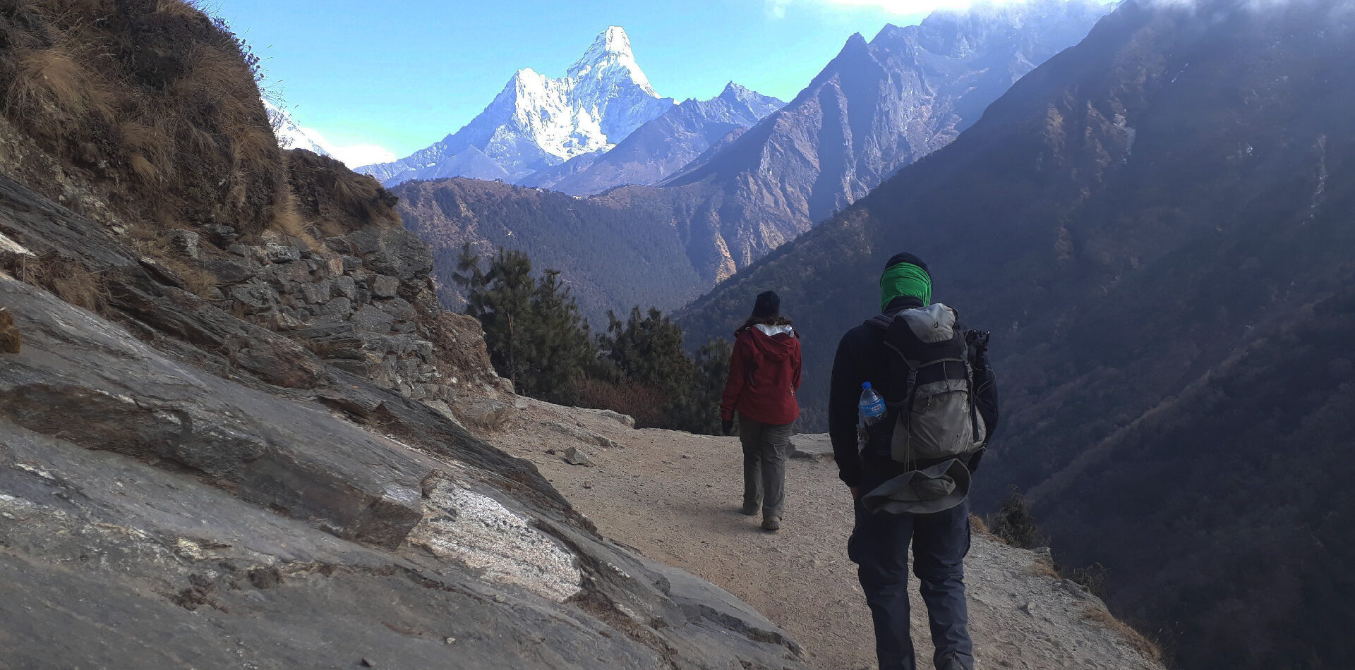
Everest Base Camp Trek – A complete Guide
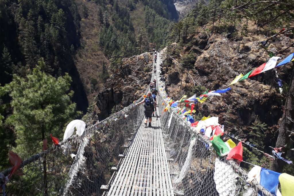
For Everest Base Camp Trek, take a short spooky flight above the mountain hill to Lukla, and follow the footsteps of legendary trekkers and climbers to achieve this uniquely distinctive and iconic adventure journey.
Everest Base Camp Trek Facts
- Required Trip Duration : 12 days
- Trek Difficulty: Moderate
- Highest Altitude : 5545m (Kalapathar viewpoint)
- Distance : 120 km/75 miles
- Accommodation: Teahouse
- Guide and Porter: Both are not mandatory. You can go independently or can hire a guide and porter to support you and make your trip easy and joyful
- Required permits: Local government tax and Sagarmatha National Park Permit
- Best Time to Trek to EBC : March to May(Spring) and September to November(Autumn)
- Start and End Point: Kathmandu to Kathmandu
Highlights of EBC Trek
- Explore lifestyles and culture of Local sherpa communities
- Astounding mountain views of Towering peaks including the highest Mt Everest (8848m), Lhotse (8,516m), Makalu (8,463m), and Cho Oyo (8,201m)
- Explore Sagarmatha National Park, Mani wall, Gompas, Prayers flags, Prayers wheels, and high suspension bridges
- Visit Ancient Tengboche Monastery – the biggest monastery in the region
- Highest glacier on Earth – Khumbu Glacier
- Diversity of flora and fauna along with wildlife – Colorful Pheasants, Musk Deer, Himalayan Thar, and Snow Leopard
Everest Base Camp Trek Overview
Everest Base Camp Trek has been a goal of thousands of novice, independent and anxious trekkers all around the world. Here you can get the genuine and honest facts of this trek before you come to achieve it. So, feel easy to ask if you have any queries regarding this trek.
In this article, you’ll get general ideas of the overview of Everest Base Camp Trek along with itinerary, health requirements, packing list, permits, and frequently asked questions. Indeed, this article is especially for backpackers who want to trek to Everest Base Camp on their own path.
Basically, Mt Everest has two base camps – one is on the Nepal side and another is on Tibet, China side. But Everest Base Camp Trek is a wonderful trip that begins from Lukla to approach Mt. Everest closer to reaching Everest Base Camp (5364 m) and Kala Pathar (5545 m). It literally means the trek lies in Nepal and reaches to South Base Camp of Mt Everest. This iconic journey leads you through a few Sherpa villages in Khumbu, offering the beauty of the Sagarmatha National Park. Meanwhile, you will be delighted with a mesmerizing view of the dignified mountains above 8000 m. Mt Lhotse, Mt Nuptse, Mt Cho Oyu, Mt Makalu, and Mt Ama Dablam are the major peaks that you can observe on this trek. You can also observe the customs and traditions of Local Sherpa people along with their lifestyle.
The trek covers a distance of 130 Kilometers beginning and ending in Lukla. To find out more, you can visit our article Everest Base Camp Trek Distance .
To reach Kalapathar is this trek’s ultimate destination, which is elevated 5545 m above sea level. Therefore, Everest Base Camp Trek is also known as Everest Kalapathar Trek .
The trip begins from Kathmandu, however, the trek starts from Lukla. Alternatively, one can choose Jiri to EBC route to avoid the Lukla flight. But it requires 4-5 more days than Lukla to EBC route.
If you don’t wish to do such a long exhausting journey but want to see Mt Everest from closer, then Everest Base Camp Helicopter Tour can be another best alternative way to see Mt Everest for you.
Check out 5 different trekking itineraries for Everest Base Camp
Everest Base Camp Trek Route Map
Below, you can view an overall map of Everest Base Camp Trek.
There are several maps you can get on premium online. Instead, you can buy it after you arrive in Kathmandu.
Click here to see the pictorial map
Detailed itinerary of EBC Trek
Day 01 arrival in kathmandu (1350m/4429feet).
If you have booked your trip with us or any tour operator either local or international, there will be one of their members to pick you up as per your and the tour operator’s understanding. If not, then you can find a Taxi there. But you have to do an agreement on the price before getting into the Taxi. Meter is rarely used by them.
We can suggest you book a hotel around Thamel as there are many hotels that range from Budget to Standard level. If you arrive in Kathmandu earlier, then you can even visit around Thamel .
Elevation Gain: 1310 m
Day 02 Fly to Lukla (2880m/9448feet), then trek to Phakding (2610m/8563feet)
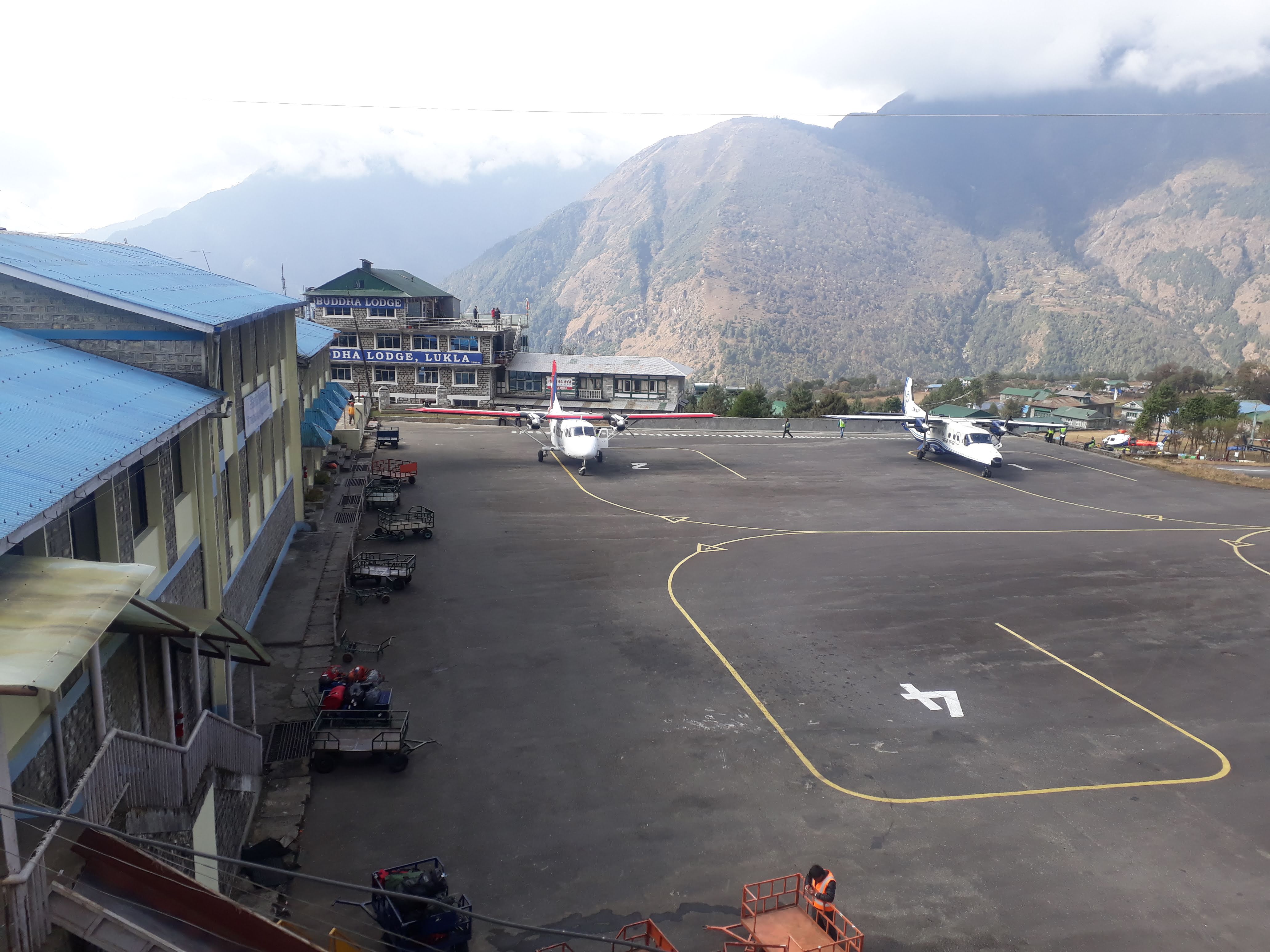
Flying in a short scary domestic flight to Lukla and following the bank of Dhudhkoshi River crossing a few quizzical suspension bridges, you arrive at a small Sherpa Village called Phakding by 2-3 hours walk. Here it will be your first mountain overnight.
Either your tour operator will arrange the flight ticket for you or you should purchase the tickets at the airport. However, the ticket can be unavailable during peak trekking and climbing seasons. So, it would be better to buy tickets earlier either through a travel agency or directly from the airline’s website. Basically, the Lukla flight ticket costs around 280 USD which includes a return ticket as well.
There are chances of cancellation of Lukla’s flight due to bad weather. So, we recommend you make a flexible itinerary as much as it is possible. Having one or two spare days would be better.
Elevation Gain: 2880 m Lukla, and 2610 m Phakding
Day 03 Trek to Namche Bazaar (3440m/11286feet)
Today, you will be trekking through some local villages like Monjo, Jorsalle, etc till reaching Namche Bazaar – The biggest Sherpa town in the region. You can cut your lunchtime in Monjo as many trekkers do. From here, you will be entering Sagarmatha National Park which is home to many endangered wild animals. It has been also enlisted in UNESCO WORLD Heritage Site.
You will take a steep hike to Namche Bazaar after passing Jorsalle. It will take you 2 hours approx to reach Namche Bazaar. You will have enough time to visit Namche Bazaar and see the small markets.
From Namche Bazaar, the Everest Three High Passes Trekking route separates and moves toward Thame village which follows the path to Renjo La Pass, while the EBC route goes to Tengboche.
Elevation Gain: 3440 m
Day 04 Acclimatization day in Namche Bazaar
Reaching 3440 m altitude above sea level, anyone could suffer from altitude sickness problems. So, Namche is a great stop for acclimatization for Everest Trekkers. It will offer an opportunity to explore the village from near.
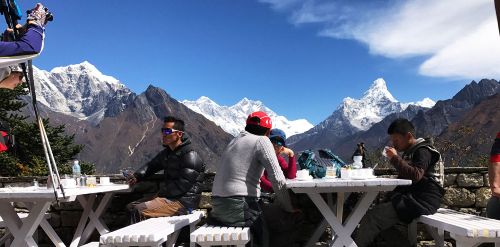
In addition, many love to hike to Everest View Hotel to see a glimpse of Mt Everest and the surrounding mountains. You can chill here by having a cup of tea or coffee ; you also can snap awe-inspiring pictures of Mt Ama Dablam in the foreground while Mt Everest will be in the background if the sky is crystal clear. Besides that, the hotel provides WiFi that enables you to contact your relatives and share how you are feeling.
Day 05 Trek to Tengboche (2860m/12664feet)
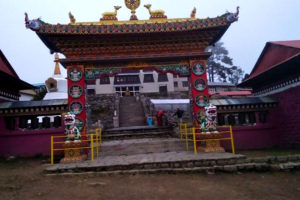
Today, you will be heading toward Tengboche, the home of one of the largest monasteries in Khumbu i.e Thyangboche Monastery. It is a mixture of great architecture and color that has a history of over 500 years.
Elevation Gain: 3860 m
Day 06 Trek to Dingboche (4410m/14468feet)
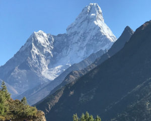
On the 6th day, either you will head to Dingboche or Pheriche. The way follows the same path until it reaches Worshyo Village. It then separates – one way goes to Pheriche and another to Dingboche. I always advise choosing Dingboche when you are going toward EBC. If you are coming down, then staying in Pheruche would be good. From Dingboche, Ama Dablam mountain is very closer. A way goes toward Chhukung from Dingboche that traces a path to Island Peak Climbing . However, the next day, we will not take our path to Chhukung because the EBC trek moves toward Lobuche.
In fact, the EBC route from Dingboche or Pheriche, both meet at the same point i.e Dughla, then approach the Lobuche where you will spend your 7th overnight stay at the mountain.
Elevation Gain: 4410 m
Day 07 Trek to Lobuche (4940m/16207feet)
As I already mentioned that your path from Pheriche or Dingboche meets at Dughla village, and head toward Lobuche having extraordinary scenery of mountains. Within 5-6 hours, you will be at Lobuche village.
Elevation Gain: 4940 m
Day 08 Trek to Everest Base Camp (5364m/17598feet)
From Lobuche, you walk through a rough rocky terrain path passing Gorakshep. You will spend 40 minutes approx in EBC enjoying and collecting the view of Nuptse, Lhotse, Pumori, etc mountains. Thereafter you come back to Gorakshep for an overnight stay.
Elevation Gain: 5364 m
Day 09 Kalapathar Hike (5545m/18192feet) and trek back to Pheruche
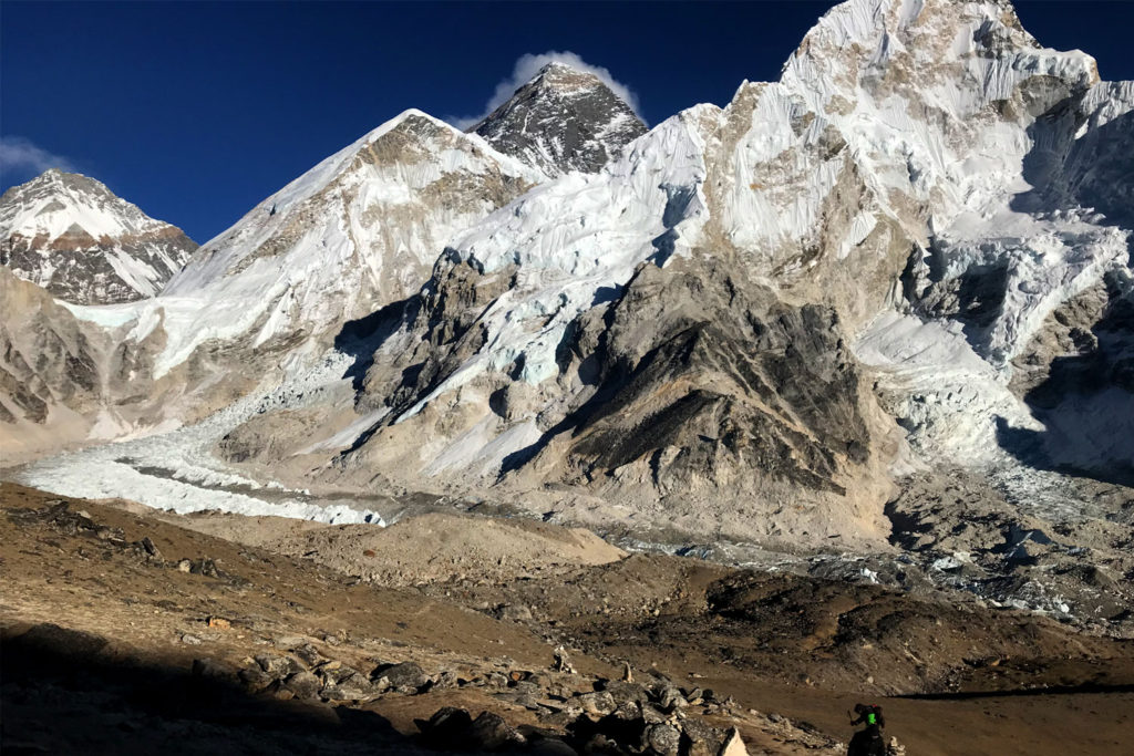
Approximately 2 hours hike to Kalapathar will wonder you today when you reach there. Kalapathar is the optimal viewpoint of Mt Everest and its neighboring mountains. After spending 30 minutes, you then will come down to Gorakshep and may have lunch before moving down to Pheriche.
Elevation Gain: 5545 m
Day 10 Trek back to Namche Bazaar
When you will be coming down to Namche via Tengboche, keep your camera ready to capture beautiful photos of rhododendron forests.
Day 11 Trek back to Lukla
You will walk approximately 6 hours today to come back to Lukla. Then you may celebrate the night with your team as you succeed in the EBC trek.
Day 12 Fly back to Kathmandu
Take a short flight from Lukla to Kathmandu in the morning and the rest of the day will be on your hand. You can spend how you want to. You may visit around Thamel or may go for 1-day heritage sightseeing in Kathmandu valley.
Everest Base Camp Transport
Generally, you will take either taxi or a private vehicle to go to Tribhuvan International Airport as it is the only airport that conducts a Lukla flight. However, the roads of Kathmandu are very congested, so as you can say it is badly regulated and has the poor condition of transportation. In case you choose to trek Everest Base Camp via Jiri Route, then you need a standard vehicle and driver for all your transfers. In the monsoon season, the hilly roads of Nepal are prone to landslides and accidents.
Foods and Accommodation for EBC Trek
Unlike the luxury hotel in a city like Kathmandu, you will not get a wide variety of meal menus during the Everest Base Camp Trek.
You get to have a few options of food while Dal Bhat Tarakari will be the favorite of many people as it is also a common and national meal in Nepal. Dal Bhat is provided by a teahouse that also serves as accommodation for trekkers. Basically, they provide a twin-shared room with separate beds. Likewise, some lodge base teahouses do also provide hot showers, and can also serve laundry service charging a small fee.
What type of hotel can we find in Kathmandu city?
There is a wide variety of hotels ranging from 2 star – to 5-star in Kathmandu valley. Even you can get a very normal hotel around Thamel – a tourist center of Kathmandu.
Is it possible to book a tea house room by yourself?
It is a little bit hard to book a teahouse room in advance by an independent trekker. There are a few reasons behind these conditions:
- Trekkers might not have enough contact information about the teahouses
- If trekkers try booking the room by contacting teahouses, there is no guarantee of room booking. Because it is a remote area where almost all of the teahouses do not have an online booking system. So, they can’t be sure whether it is an original or fake booking.
On the contrary, trekking companies and guides do have more and better relationships with teahouses. Hence, they can arrange teahouses in a better way.
Note: You can’t expect high facilities in the tea house.
EBC Trek difficulty and health requirements
It is considered to be a moderate trek although it accesses Kalapathar which is 5545 m above sea level. Nevertheless, you should not take it so easily as many people have got altitude sickness while trekking in Everest.
To overcome the chances of altitude sickness , you need to do some physical activities at least 10-15 days prior to the trek. It would have been far better if you have already hiked some mountains. It may be applicable for those people who have been living just close to the height of sea level.
Basically, you need to be physically and mentally fit to trekking to Everest Base Camp. It does not require any mountaineering skills as it only passes through terrain land and hikes to the steep hill.
Kathmandu to Lukla Flight Cancellation
Since the classic Everest Trail begins from Lukla, we need to take a short flight to Lukla from Kathmandu. It only takes 40 minutes approx to arrive at Lukla from Kathmandu. Nevertheless, no one can be 100% sure about the weather in the Himalayas. It might be changed anytime. Consequently, the Lukla flight may be canceled or can not be landed on Lukla.
Therefore, I would like to suggest everyone add 1 or 2 spare days in order to ensure your trekking on Everest. Alternatively, there is the possibility of helicopter service in a group joining spending some money. The helicopter service charges may range from $300 to $500 for each of the members. In a helicopter, there will be a maximum of 5 members at a time.
Everest Base Camp Trek Permits
The basic required permits for Everest Base Camp Trek are listed below:
Khumbu Pasang Lhamu Rural Municipality Entrance Fee
Sagarmatha National Park Entry Fee
- TIMS (Trekking Information Management System) fee
The first two permits are now the must-require permits. However, about the third permit – TIMS, there are a lot of controversies still going on. But you are allowed to trek just having Khumbu Pasang Lhamu Rural Municipality Entrance and Sagarmatha National Park Entry permits.
You can’t get this permit in Kathmandu. It is like a replacement of a TIMS permit which is directly collected by Khumbu Pasang Lhamu Rural Municipality. It can be obtained either in Lukla or in Monjo Village.
Cost: Rs 2000 per person
It is another must-required permit that can be obtained in Kathmandu at Nepal Tourism Board or in Monjo village just prior to entering the National Park.
Cost: Rs 3000 per person
Note: If you are planning to trek from Jiri to Everest, then you need an additional permit i.e Gaurishankar Conservation Area Permit. Because you will be passing through Gaurishankar Conservation Area which also costs Rs. 3000 and it also can be obtained in Kathmandu.
What documents are required to issue Everest Base Camp Trek permits?
It is enough to have valid passport details to issue the permits to trek to Everest. But all permits are only for a single entry and once the permits are issued, they can not be refunded.
FAQs of Everest Base Camp Trek
How safe is it to trek to Everest Base Camp?
Safety concern on EBC Trek depends upon a variety of aspects. But In comparison to Everest Climbing, Everest Base Camp Trek is very safe. However, it still poses some risks due to the high altitude as written above.
Apart from the geographical scenarios, the political situation also matters in your safety zone while you are traveling to a particular place.
Before 2008, there used to be a Maoist problem – a form of a political party. But now they are also a part of the Nepali Government. After the comprehensive peace agreement, they are now in parliament. So that this problem no longer exists.
What to pack for trekking in Everest Base Camp?
Normally, you need to bring basic hiking gear, such as walking poles, hiking boots (preferably shoes), lightweight t-shirts, hiking pants, a down jacket, sleeping bags, and so on. For detail about the gears, just click here .
What is the Best time to trek to Everest Base Camp?
Basically, trekking in EBC is open all the time year. However, March to May and September to November are the best time to trek in Everest Base Camp because, in these months, the weather and climate in EBC become as good as a trip requires.
Why hire a local guide for Everest Base Camp Trek?
An interpretive local guide will enhance your valuable time in the mountain. They are very knowledgeable about mountain conditions, weather, avalanches, and other potential hazards. In order to keep you safe on the mountain, they will be passionate about sharing their knowledge of your surroundings.
Is Travel Insurance necessary for Everest Base Camp Trek?
To protect your travel investment, you must have travel insurance for Everest Base Camp Trek ; it should cover helicopter evacuation and medical repatriation. Although it is a moderate trek, it goes up to 5545 m above sea level. In such conditions, some trekkers can suffer from high altitude sickness which can be life-threatening too. Sometimes, trekkers need helicopter rescue. So, if you have travel insurance, it will save you money.
Will there be access to any communication medium in Everest Base Camp?
Definitely, you can take Nepali SIM cards – NCELL or NTC. It often works in most areas. You can enable Internet Data Service on your sim card which makes you unable to communicate with your international friends. In remote areas, the data service of NCELL is better than NTC. Otherwise, Paid WIFI service is available in some of the teahouses. They take nearly $1 USD to use the internet service.
“But keep in mind not to forget to bring a power bank for your mobile phone” Although teahouses do have the facility of electronic device charging, they may charge a few amounts for it.
Is a private trip possible for Everest Base Camp Trek?
Yes, you can book your private trip. But it may cost a little bit higher than the group trek. Almost all of the trekking agencies do organize private trips to Everest Base Camp.
Is it necessary to hire a guide and porter to trek to Everest Base Camp?
No, it is not compulsory to hire a guide and porter for Everest Base Camp Trek. However, a guide and porter can be good company for the whole trip as they will take care of you; help you to get safe, and get better teahouses and food. They can give detailed information and safety precaution about the trail and region. Even some of the guides and porters entertain tourists by singing and dancing.
A Porter will carry your luggage weight of up to 15 – 20 kg. It is not a joke to carry that much weight in such a king of rough trails and altitude.
Note: In Nepal, a guide is a must only for those trails which lie in certain areas called restricted zones by the government of Nepal. Such as Manaslu Circuit Trek , Upper Mustang Trek, etc.
Do I need a porter for the trek to Everest?
I never say that a porter is a must needed for the EBC trek. However, having a porter may let you enjoy the trip twice better than a porter-less trip. A porter will carry your luggage and let you enjoy your journey pleasantly.
Small earnings from you become helpful for them and it improves the income of local communities of the mountain area.
How much does it cost to hire a guide and porter?
The basic salary of a guide ranges from USD $15 – $25 per day. Likewise, it costs $12 – $15 per day to hire a porter. If you buy a complete package trip from a trekking agency, then they will provide a guide and porter accordingly.
Is natural water drinkable on Everest Trail?
We don’t suggest you drink tap water or any water from natural streams. However, you can use a water purifier if you really want to drink that. Instead, mineral water can be found in teahouses on the trail but that is nearly 10 times more expensive to buy than in Kathmandu.
What is the right cost to trek Everest Base Camp?
The cost of an EBC trek varies on the trip type, trekking trails, and the trekker’s own behavior. But the best reasonable cost of Everest Base Camp Trek is about $1400 – $1600. This cost can cover all your food, accommodation, guide and porter, permits, and domestic flights to Lukla. Follow this link for a detailed cost estimation of the Everest Base Camp Trek .
How much does it cost to trek to Everest Base Camp for Indians?
For Indians, it is not the budget of Everest Base Camp Trek that far different than any other nation. However, Indian nationals will get Kathmandu to Lukla flights at a cheaper price than any other nationals. And Sagarmatha National Park Entry fees are only Rs 1500 for an Indian citizen, whereas it costs Rs 3390 for each person.
Can I sleep at Everest Base Camp?
No, you can’t sleep in Everest Base Camp. There is no tea house in Everest Base Camp. On the other hand, trekkers are not allowed to stay at base camp. Only climbers who are summiting Everest can stay at Everest Base Camp.
Do I need to take Oxygen on this trek?
Generally, it is not necessary to take oxygen for this trek. You just need to walk at your own pace and should not get horrid while trekking to Everest Base Camp. However, a well-managed trekking company always brings oxygen as a medical backup to ensure first-aid support for their clients.
What is the temperature at Everest Base Camp?
The weather and temperature of Everest Base Camp are extreme. It ranges from 20 degrees Celsius in summer to -5 degrees Celsius in winter in the daytime throughout the year. But at night, it can reach up to -20 degrees in winter and 4 degrees in summer.
Once you reach Lukla, you will feel a decrease in temperature in the air as you are already at the height of 2800 m above sea level. Again when you go up and up, then the temperature further drops.
Is there any age limit to trek to Everest Base Camp?
Not exactly, the government of Nepal has not defined any age limit for Everest Base Camp Trek. All can plan to trek to Everest Base Camp. However, considering the high altitude and difficulty level of the trek, it is most probably best doable for those who are 14 to 65 years old.
Is there road access to South Everest Base Camp?
There are only trekking trails that take you to the Everest Base Camp. The road access has not reached to Khumbu region yet instead it only reaches the Solu region.
Can Everest Base Camp Trek be an educational trip?
Yes, it can be an educational trip because Everest Base Camp Trek is not only an adventure journey, but it also covers cultural and traditional aspects of the Khumbu region, Nepal. The region is the home of Sherpa communities. Throughout this journey, travelers can explore a few Sherpa inhabitants and the museum of Khumbu Region – Sagarmatha National Park Museum. Moreover, you can study the lifestyle of mountain people before and now.
How to book Everest Base Camp Trek?
To book Everest Base Camp Trek, you can contact us . We provide budget and luxurious both sort of Everest Base Camp Trek. We assure you that you will definitely love our service.
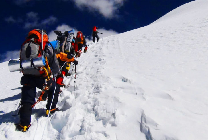
Podcast of EBC Trek
Latest features.
The latest articles, galleries, quizzes and videos.
Island Peak Climbing – A Complete Guide
Island Peak Climbing is an expedition of glacier travel, snow and ice climbing and trekking in the Khumbu region which goes through some tiny ethnic Sherpa villages with Sagarmatha National Park. Highlights of Island Peak Climbing Climbing Island Peak also known as Imja Tse offers a great opportunity to experience the worlds’ impressive mountain range…
Everest Base Camp Trek in April
In April, the Everest Base Camp Trek continues to offer a spectacular experience, building on the favorable conditions of March. Here’s what you can expect: Weather April falls within the Spring season in Nepal, offering pleasant and stable weather conditions. Temperatures are mild, ranging from around 9 to -4 degrees Celsius. While the lower altitudes…
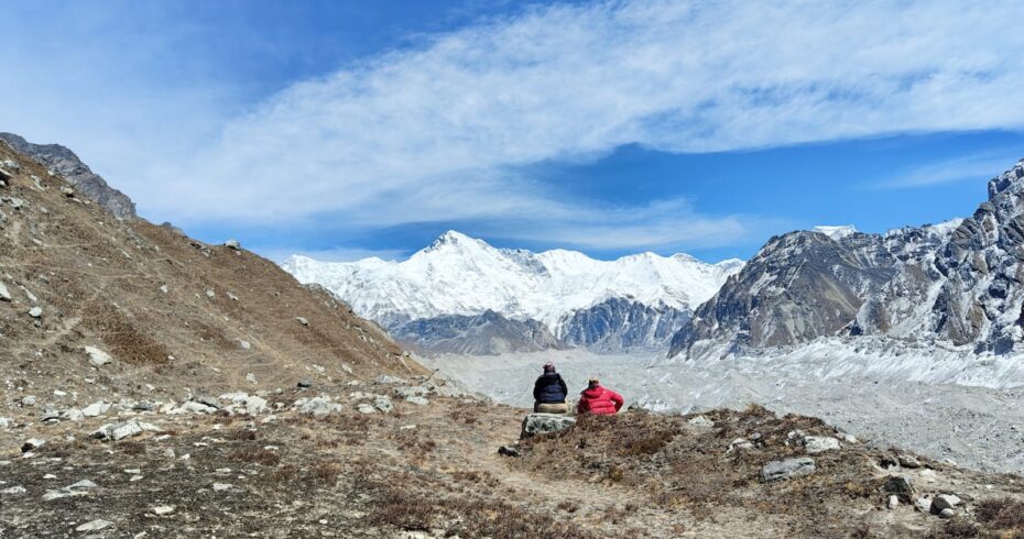
Everest Base Camp Trek in January
Everest Base Camp Trek in January can be a memorable trip for those who prepare better for winter and cold since it is a peaceful time, the trails get empty, and the sky looks clear. Everest Base Camp Weather in January Generally, the weather in Everest in January gets colder as the temperature can go…
Everest Base Camp Trek in February
February is considered to be Off-season for trekking in Nepal due to cold temperatures and foggy weather in the whole country. If you are thinking of Everest Base Camp Trek in February but have some dilemma on your mind, this is the right place where you will get all your answers. Why trek Everest Base…
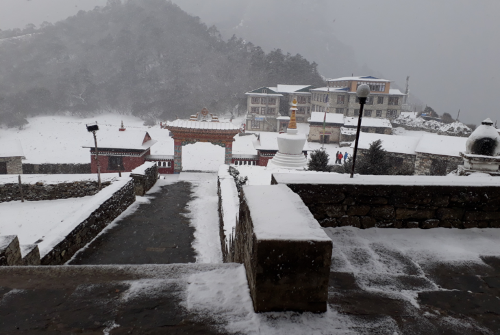
Sign up for trip deals, inspirations and competitions.
.webp)
Everest Base Camp Trek
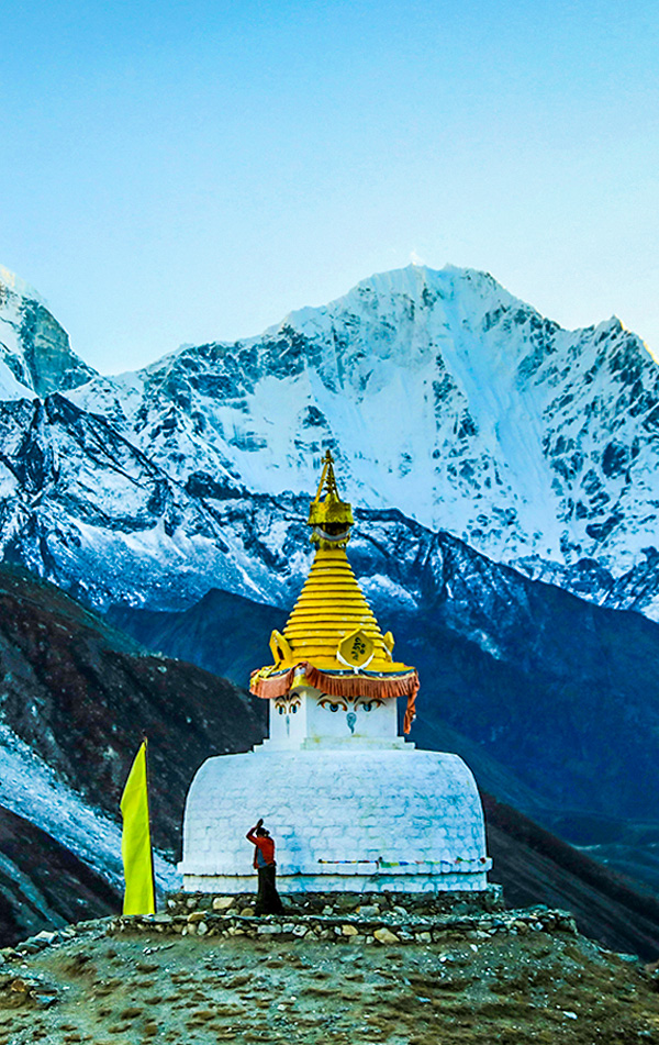
Kathmandu |
Kathmandu | Nepal
Max Altitude
Trekking Km
Help & Support
67000 /person $ /person.
- October-2024
- November-2024
- +5% GST (Goods and Services Tax)
- USD 1500 +5% GST for Non-Indians
- Services Kathmandu to Kathmandu
- Lukla flight, Food & Stay in Kathmandu included
Offload 5300
Backpack offload is optional
Choose add-ons during booking. If missed, log in and add them later.
Book off-load at least 10 days before the trek.
For offline bookings at the base camp, a convenience fee of Rs. 6000 applies.
Cancellations made before the trip date will receive a full refund.
For more information. Please complete this form.
Help & Support
Trek Name: Everest Base Camp Trek
Adventure Type: Trekking
Base Camp: Kathmandu
Season: Summer | Autumn |
Month: March | April | May | September | October | November |
Country: Nepal
Altitude: 18200 Ft.
Grade: Difficult
Rail Head: Kathmandu is not connected to any Railways
Stay: Hotel and teahouse
Food: Meals while on trek & at Hotel/Guesthouse (Veg & Eggs)
Location: Kathmandu
Distance: 108 Km.
Trail Type: One way trail | Camping in various locations, starting and ending at the different point.
AirPort: Kathmandu (Tribhuvan International Airport)
Why Everest Base Camp Is A Must-Do Trek
When it comes to trekking in the Himalayas, Mt. Everest is the most celebrated peak and not just in our country but all across the globe. For avid trekkers and mountaineers, getting up close to the highest mountain peak in the world is a once-in-a-lifetime experience. This classic trek takes place in the Bagmati Zone of Nepal and allows you to experience the immense beauty of the surroundings. Along your trek, you will get to witness 4 of the 6 highest mountain peaks in the world — Cho Oyu (8,201 m), Mt. Makalu (8,470 m), Mt. Lhotse (8,516 m), and Mt. Everest (8,848 m).
Everest Base Camp is a teahouse trek, which means you will stay at some of the highest villages in the world and get a close look at their cultures and traditions, and life in the remote corners of the Himalayas. Staying at the Sherpa villages you will get to learn a lot about the mountain lifestyle and how inextricably the people are connected to the mountains. There are many notable junctures throughout the trek and Kala Patthar is one such point. Standing at an altitude of 5,500 m it offers an astonishing view of Mt. Everest . EBC trek presents a wonderful opportunity to experience the grandeur of the Himalayas, the imposing challenge and thrill of the climb, and the charming culture of Nepal.
Trekking in Nepal is all about trekking amidst the biggest mountain ranges and on this trek, you will see mountains surrounding you. All along the way, you can feel the sense of legacy left behind by the greatest mountaineers. Crossing the route beyond Namche Bazaar, you will come across, Tenzing Norgay Stupa, a tribute to the great mountaineer, who was the first to scale Mt. Everest along with fellow mountaineer Edmund Hillary. Also, just near Dughla on Everest highway, there are memorials for distinguished mountaineers who dedicated their lives on the slopes.
Reaching Everest Base Camp means trekking through the traditional Sherpa villages, with warm and friendly villagers, hidden Gompas, picturesque mountain views, and exceptional natural beauty. Those who take part in such a trek will never forget the amazing experience.
About The Trek
Your journey will start at Kathmandu from where you will take a short flight to Lukla. The iconic trek starts at Lukla in the southern part and the trail weaves towards Namche Bazaar in the north. We will stay a day here, acclimatizing to the higher altitudes. It then diverges in the northeast direction towards Pheriche and Dingboche. Once we reach Dingboche, we will spend a day at Dingboche as a rest day. From Dingboche, the route continues to Lobuche. Everest Base Camp is a little further east from here and the Kala Patthar viewpoint can be seen towards the west.
There are other variations to the trek route as well, where the trek bifurcates towards Gyoko Ri early on at Namche Bazaar. The route then follows the left side to arrive at the Base Camp. Sometimes people also prefer trekking from Jiri village instead of Lukla, Jiri is a short bus ride away from Kathmandu. However, trekking from Jiri adds a couple of days to the trek as Jiri is considerably further away from Lukla. The EBC trek follows a gradual ascent up to the base camp, following which there is a steep descent. The entire journey lasts for 13 days and in between, we also have acclimatization days as well.
What Can You Expect At The Trek
It is a difficult grade trek. Trekking to the Everest Base Camp requires exceptionally high physical fitness and while the trek is not dangerous, you need to prepare well for it. A variety of factors add to the difficulty of the trek like the terrain, the duration of the trek, the distance covered every day, and the number of days spent at high altitude and a difficult exit in case of emergencies. While all trek is not especially tricky but it is surely an endurance test.
It is a high altitude trek and as such chances of AMS are quite high but with adequate hydration, proper rest, and a well-planned itinerary taking into consideration the acclimatization criteria will help counter such issues. Our trek leaders are mountaineering-certified individuals with a keen understanding of AMS and other high-altitude issues. They can detect the signs of AMS early on and adopt necessary measures for the prevention of the same. Our Trek Leaders are also all Wilderness First Aid Responders, who are diligent in handling emergencies.
The trek from Lukla to Everest Base Camp is 50 km and it takes 13 days to complete the trek starting from Kathmandu. To mitigate the risks of being at a higher altitude for such a long time, we have incorporated acclimatization and rest days in the itinerary. Mt. Everest can be spotted multiple times on the trek even in the initial part of the trial.
In cold conditions, batteries drain pretty quickly be it phones, cameras, or Kindles. Make sure to bring spare batteries with you. Some teahouses allow you to charge your phone and other electronics but they will charge you for it.
Be prepared for extreme weather conditions as the weather at high altitudes is unpredictable. Layer properly to regulate your body temperature and stay comfortable while trekking. When its sunny, the weather can get quite warm and you may even have to discard a couple of layers in the first few days of trekking, however, the temperature at night drops pretty quickly. Make sure to drink a lot of water to stay hydrated and avoid altitude sickness. Also, remember that sunburn happens much quicker at higher altitudes so always wear sunscreen and keep your sunglasses ready.
Accommodations at Everest Base Camp will be in teahouses in Sherpa villages or mountain lodges. Also, keep enough cash with you as there are no ATMs in Lukla. Also, if you want to do some last-minute shopping for trekking gear and equipment, Kathmandu is a good place to do so.
- Who can Participate
- Important Links
- How to Reach
- Trek Essential
Who Can Participate
Age; 15 years.
Experience of any high altitude trek, at least 1 treks of 4,000m/13,100ft.
The climber must be fit and have sufficient stamina to cover 5 km of distance in 30 minutes without stress.
The climber should be able to carry a 12-16 kg backpack.
Pulse rate at rest must be in between (60 to 90 beats per minute)
Blood Pressure Reading must be in between (DIASTOLIC 70 – 90, SYSTOLIC 100 - 140 mm Hg)
Respiratory rate at rest must be in between (12 to 20 breaths per minute)
Should not have Liver and kidney issues
Should not have Diabetes Mellitus, Bronchial Asthma, Heart problems, Hypertension etc
No pacemaker implant
People with the Sinus issues, Epilepsy please contact to trek coordinator before booking the trek
If your BMI is not normal, Please contact our Trek coordinator before Trek booking.
Medical & Disclaimer Form (Mandatory Documents) Click here to download Medical & Disclaimer Form
- Government Employees can avail the benefit of Special Casual Leave (SCL) when you join us for a trekking expedition. As per the rules of the Pay Commission, Special Casual Leave can be availed for up to 30 days in a calendar year for trekking/mountaineering expeditions through a registered organization. Trek The Himalayas is a registered adventure tour operator by Indian Mountaineering Foundation (IMF) and Ministry Of Tourism (MOT)
- Trekkers have to apply for leave at least 20 days before trek departure date,
- This service is exclusive to Indian government employees and is applicable only for treks within India.
- Do mail at info@trekthehimalayas to apply and mention your booked trek date and trek name.
Junior trekkers (below 15 years) should have a company of parents/guardians.
Trekkers between 15 to 18 years can come solo with the disclaimer form signed by parent/guardian.
- Medical & Disclaimer Form (Mandatory Documents) Click here to download Medical & Disclaimer Form
Exercise For Difficult
Fitness Regime For:
Calculate Your Bmi
Your BMI value is
Congratulations, your body is in good conditions!
Arrive At Kathmandu
- Altitude: 1,400 m/ 4.600 ft.
- Spend the day exploring Kathmandu.
- A short briefing session in the evening.
- Stay: in hotel (included in cost).
Welcome to trekkers’ paradise, Nepal. Nepal is characterized by beautiful Himalayan summits, rich natural biodiversity, and beautiful culture and history. Once you arrive at Kathmandu airport, you can take a taxi to the booked hotel in Kathmandu. There are loads of taxis available at the airport and you can easily find one to drop you off at the hotel. Once you check-in to the hotel, you can freshen up, and in the evening, you will receive a briefing session where you will learn about the trek and your schedule for the upcoming days. If you have any questions about the trek, then you can clear them at the time of the briefing session. Post the briefing session, you can explore Kathmandu and do some last-minute gear and equipment shopping if you want.
Note that, from April 2019 most flights have been diverted to Ramechhap airport due to construction and crowding at Kathmandu Airport. Ramechhap is a small Airport Ramecchap in Manthali and 4 hrs drive away from Kathmandu. In this case, your flight will be booked for the next day. So take an early night flight to Kathmandu and get ready to leave Kathmandu City by 1 o’clock so that you can take an early morning flight from Ramechhap airport.
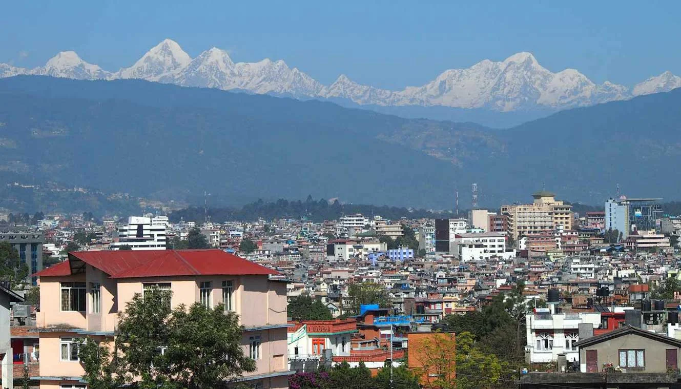
Fly to Lukla, Trek To Phakding | Enjoy A Scenic Flight Journey
- Altitude: Lukla - 2,850 m/ 9,350 ft; Phakding - 2,600 m/ 8,500 ft.
- Altitude Gain: 1200 m/ 3,900 ft.
- Early morning flight to Lukla (30 minutes).
- Trek to Phakding: 9 km | Duration: 4 to 5 hrs.
- Easy and gradual descent.
- Cheplung village lies en route from where you can see Mt. Khumbila.
- You can buy or refill your water bottles from teahouses on the way.
Get ready for a beautiful flight from kathmandu or ramechap to Lukla. Its a short flight of about 35 minutes that will take you over a panoramic landscape. On these flights, the planes are quite small but the journey is quite scenic. Our representatives will meet you at Lukla airport and this is where your trek towards Everest Base Camp starts.
After arriving at Lukla, we will start our trek towards Phakding after some refreshments. The trail is 9 km long and passes through Nepali mountain villages, green mountains, suspension bridges, and forests to Phakding. It takes about 4 to 5 hrs to complete the trek. From Lukla, the trek begins with a gradual ascent, with a few ups and downs along the way. Along the route, you will witness amazing views of Kusum-Kanguru as you cross a suspension bridge on your way. After a short climb, you will arrive at Ghat Village and after another one and a half hours of gradual walking, you will arrive at Phkading. En route, you will also spot boulders that are carved with Buddhist Prayers. We will stay overnight in Phakding.
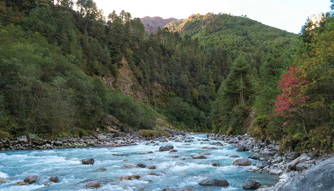
Phakding To Namche Bazaar | A Major Trading Hub In Khumbu
- Altitude: 3,450 m/ 11,300 ft
- Trek: 10 km | Duration: 7 hrs.
- Altitude Gain: 850 m/ 2,800 ft.
- Moderate level of climb and steep climb before Namche Bazaar.
- Namche Bazaar is the capital of the Khumbu region.
- You will get the first views of Mt. Everest today.
- You will spot Kongderei and Thamserku peak.
- Monjo village is the mid-point of the trek.
- A swiss suspension bridge on Dudhkosi River. It is one of the major attractions.
- Dudhkosi River is considered as the lifeline of the Khumbu Region.
- Today you will enter into the Sagarmatha National Park (a UNESCO World Heritage Site).
Post breakfast, we will start our trek towards Namche Bazaar. The route today is surrounded by green mountains and will take you through suspension bridges over the Dudh Koshi and Bhote Koshi rivers. Before entering the Sagarmatha National Park, you will have to obtain permits and then the trail follows a steep ascent before arriving at Namche Bazaar. Namche Bazaar is an important trading hub of the Khumbu region.
We will start our trek early in the morning from Phakding and soon you will cross a suspension bridge over the Dudh Koshi River, the walk from here is easy and pleasant with short uphill and downhill climbs. You will cross another suspension bridge over the Bhote-Koshi River. It is a busy area and you may notice a multitude of trekkers and porters here. After a 20 minute climb from this area, you will arrive at Monjo. Monjo is a pit stop for many trekkers and many people also camp here. At Monjo, you will see interesting watermills that are used to grind barley, a staple diet of the Sherpas. Monjo is situated right below the majestic Thermasarkhu peak (6,608 m) and quite close to this village is the entrance to the Sagarmatha National Park.
Treading along the Dudh Koshi River, you will arrive at the Sagarmatha National Park. At this point, your trekking permit will be checked and the officials will keep a record of all the trekkers going ahead. Sagarmatha is a UNESCO World Heritage Site that showcases stunning mountain views and rich biodiversity. Here, you may spot rare Himalayan species like snow leopard and the lesser panda. The presence of Sherpa settlements with their unique culture makes the trek even more interesting. A gradual walk from Sagarmatha National Park will lead you to Namche Bazaar. From Namche Bazaar, you will catch the first glimpses of Mt. Everest. Namche Bazaar is a historic trading center of the Khumbu area and you can stock up on essentials from this point. At night we will stay here at a guesthouse.
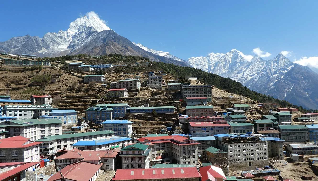
Acclimatization Day | Explore Namche Bazaar
Wake up to the beautiful views of the highest Himalayan peaks and enjoy a delicious breakfast. Today we will stay in Namche Bazaar allowing our bodies to acclimatize to high altitudes. You can spend the day exploring the surroundings and enjoy the culture and hospitality of Nepal. Namche Bazaar is a commercial hub so you can do any last-minute trek shopping from here. The market has a vibrant atmosphere and there are a couple of restaurants and coffee shops as well.
You can do a short hike to Sagarmatha National Park headquarters. From here, you can get a good view of Ama Dablam, Mt. Everest, and other Khumbu peaks. Sherpa Cultural Museum is close by and lies just above Namche Bazaar. The museum gives you a fair amount of details about the history of the Himalayas, the geographic and cultural aspects, mountaineering history, and information about the various flora and fauna in the region. You will see many pictures of Tenzing Norgay and Edmund Hillary from their climb and maps detailing their trails as well. In the evening, take acclimatization walks around the market, preparing your body for higher altitudes. Soak in the Nepalese Buddhist culture, food, and traditions. Namche Bazaar gained popularity during the time when Tibetan salt was traded for grains from Nepal\\s lowlands. Nowadays, you can see a roaring trade of rugs, clothing, dried meat, and salt in the village center. There are many shops that also offer locally made handicraft items, you can buy them as souvenirs or gifts for your friends and families. You will stay the night at a guesthouse in Namche Bazaar.
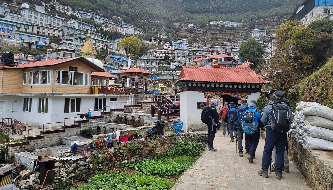
Namche Bazaar To Tengboche | Visit The Largest Buddhist Monastery Of Khumbu
- Altitude: 3,850 m/ 12,650 ft.
- Altitude Gain: 400 m/ 1,350 ft.
- Trek Distance: 8 km | Duration: 5 to 6 hrs.
- Mixed ascent till Phunki Tenga.
- Steep ascent after Phunki Tenga to Tengboche.
- Tengboche has the biggest monastery in the area.
- You can attend a prayer ceremony held by the monks to invoke protection on your expedition.
- Cross another high bridge at the village of Phunki Tenga.
Start your day with a delicious breakfast and get ready for your trek to Tengboche from Namche Bazaar. It’s an 8 km long trail and is a fairly easy trek accompanied by the views of the majestic Himalayas. You will also spot Himalayan Wildlife on the way as well.
Tengboche is a small alpine valley that is situated at an altitude of 3860 m and the trek starts with an easy walk. The trek from Namche Bazaar to Tengboche is extremely beautiful and along your trek, you will get a bird’s eye view of Dudh Koshi River down below and the epic mountain views as Thamserku (6,608 m), Kantega (6,782 m), Ama Dablam (6,812 m), Lhotse (8,516 m) and Everest (8,849 m) comes into view.
A 20-minute walk from Namche Bazaar will take you to the top of Namche Bazaar. From here the trek descends to Khumjung, a Sherpa village and then climbs up the sides of the mountains through some stairs and then diverges from the Everest Highway at Sanasa. You will be able to catch glimpses of Lhotse, Nuptse, and Mt. Everest from here. This is probably the best view of Mt. Everest you will get until you reach Gorakshep when climbing to Kala Patthar. Two hours of pleasant walking will bring you to Sanasa. Up to Sanasa, it is a walk-through forest covers of Oak and Rhododendrons. It is a great location for bird watching and you may spot the Danphe Pheasant, the national bird of Nepal. Musk-deer and Himalayan Tahr, a Himalayan goat that looks like an antelope are commonly spotted in these areas. You will also spot the Tengboche monastery from here which you will reach in the later part of your trek.
Next, following a gradual descent, you will reach the Imajtse River at Phungitenga at an altitude of 3,250 meters. Phunki Tenga is a small Himalayan settlement with teahouses and army posts. The climb down can be a little tougher as the terrain is rocky and uneven. You will reach a suspension bridge over the river and after you make the crossing, you will need to get permits at a checkpoint to proceed further in your trek. From here it is a strenuous climb of about an hour that will take you to a Buddhist monastery just before Tengboche and finally to Tengboche village. This is the last part of today’s trek and you can expect the trail to be rocky with a couple of switchbacks. Don’t push yourself too hard, take it slow and steady as you make your trek uphill.
Tengboche Monastery, locally known as Dawa Choling Gompa is the largest monastery in the Khumbu region. It overlooks the beautiful region and the mountain landscapes around. There are daily prayers that occur around 7:00 am and once around 3:30 pm. You can take part in the prayers if you truly want a cultural experience. It is one of the important cultural aspects of the EBC Trek. Enjoy the serenity at this revered place of worship and at night your stay will be in the guesthouses at Tengboche.
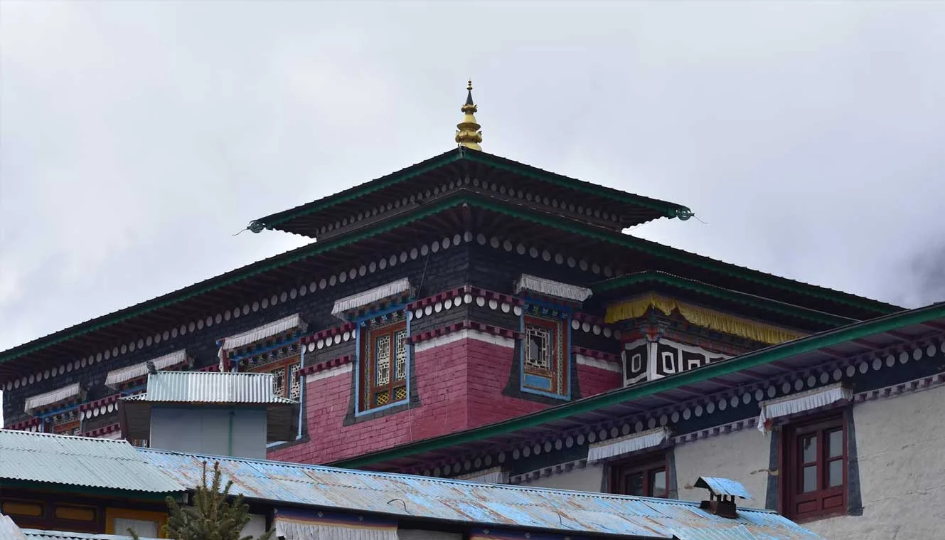
Tengboche To Dingboche | Stunning Views Of Ama Dablam
- Altitude: 4,350 m/ 14,250 ft.
- Altitude Gain: 500 m/ 1,600 ft.
- Trek Distance: 9 km | Duration: 6-7 hrs.
- Gradual descend and little bit of ascent after Lobuche River to Dingboche.
- The trail passes through lush forests of birch, conifer, and Rhododendron trees.
- The route offers amazing views of Ama Dablam standing over you.
- The trail crosses the Imja River to reach Pangboche.
- Continue along the Imja Valley and Lobuche River before ascending to Dingboche.
Today, we will begin our trek towards Dingboche. From Tengboche, cross bridges and rivers accompanied by beautiful mountain views all the way to Dingboche. Stone steps will lead you through forests of Rhododendrons, conifers, and birches, and at the bottom of the forest lies the Deboche village. From here, the trail rises up and enters into the alpine meadows and Dingboche. Dingboche is the only place in the entire Khumbu region where barley is grown. The views of the Himalayas are amazing from Dingboche. Start your trek from Tengboche and walk towards Pangboche Village, you will get to see some beautiful views of Mt. Ama Dablam and from Pangboche we will trek towards Pheriche and to Imja Valley. The beautiful Lobuche River passes through Imja Valley and from here a steep hike will take you to Dingboche. The trek takes about 6 to 7 hrs and for the most part, the difficulty is moderate.
At the beginning of the trail, you will first descend into a forest trail passing the small settlement of Deboche. As you trek from Tengboche to Dingboche, the scenery changes as you gain altitude, greenery slowly giving way to barren landscapes, and the trails gradually becoming more rugged and it will also start getting cold and windy. In the initial part of the trek, you will pass by a wall with stone inscriptions and a small stream will keep you company along the trail. You will have to cross the stream to the left-hand side of the valley. The majestic Ama Dablam dominates the skyline ahead of you. About two hours into the trek, you will arrive at Pangboche, a mountain village, where you get beautiful views of Mt. Everest. From Pangboche, you will hike upwards towards the valley and throughout the trek, you will slowly gain elevation. Although the trek is mostly uphill, the slope is relatively easy without extremely steep inclines. Ama Dablam continues to stay in view, however, you will only get to see a tiny silver of the top of Mt. Everest. Lhotse and Nuptse become quite prominent now.
Soon you will arrive at the village of Shomare, your last village before Dingboche. Ama Dablam still remains in view but now you will get to see a different angle of the mountain from what you have seen before. The trail continues winding to the valley side and you will cross another river before entering Dingboche village. Dingboche is a lovely Himalayan hamlet and you will see agricultural fields protected by stone walls. Once at the village, we will check into a guesthouse and we will stay the night in the guesthouse.
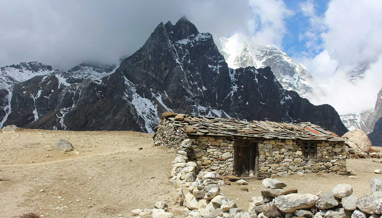
Dingboche (Rest Day) | Acclimatize To Higher Altitudes
Today is a rest day at Dingboche, which will help us acclimatize to the high altitude. As we exert a good deal of energy on the trek, our body needs to get accustomed to less oxygen at higher elevations. So instead of taking a rest day, if continue to gain elevation it can result in altitude sicknesses like dizziness, nausea, and headache or potentially even more dangerous conditions like cerebral or pulmonary edema. To prevent these issues, we start our acclimatization process at the 11,500 ft mark. Since Namche Bazaar is quite near that elevation, we start our acclimatization process from Namche Bazaar itself.
For acclimatization, you can walk around the village. Dingboche village has many farms and crop fields sparse across the village, native crops include barley, potatoes, and buckwheat. You can also do a short hike around the village to Chukung. Its a 3 - 5 hrs trek that takes you to an altitude of 4,730 m. Chukung lies in the Imjatse Valley towards the east. Although the trek is gradual you can feel the effects of thinning air. Chukung has a couple of teahouses as well and you get a superb view of the surrounding areas from here. Some of the views are exceptionally beautiful as you continue to climb higher and higher. Explore the valley and the surrounding areas, return back to the guesthouse. This hike will prepare your body for the next few days at higher altitudes.
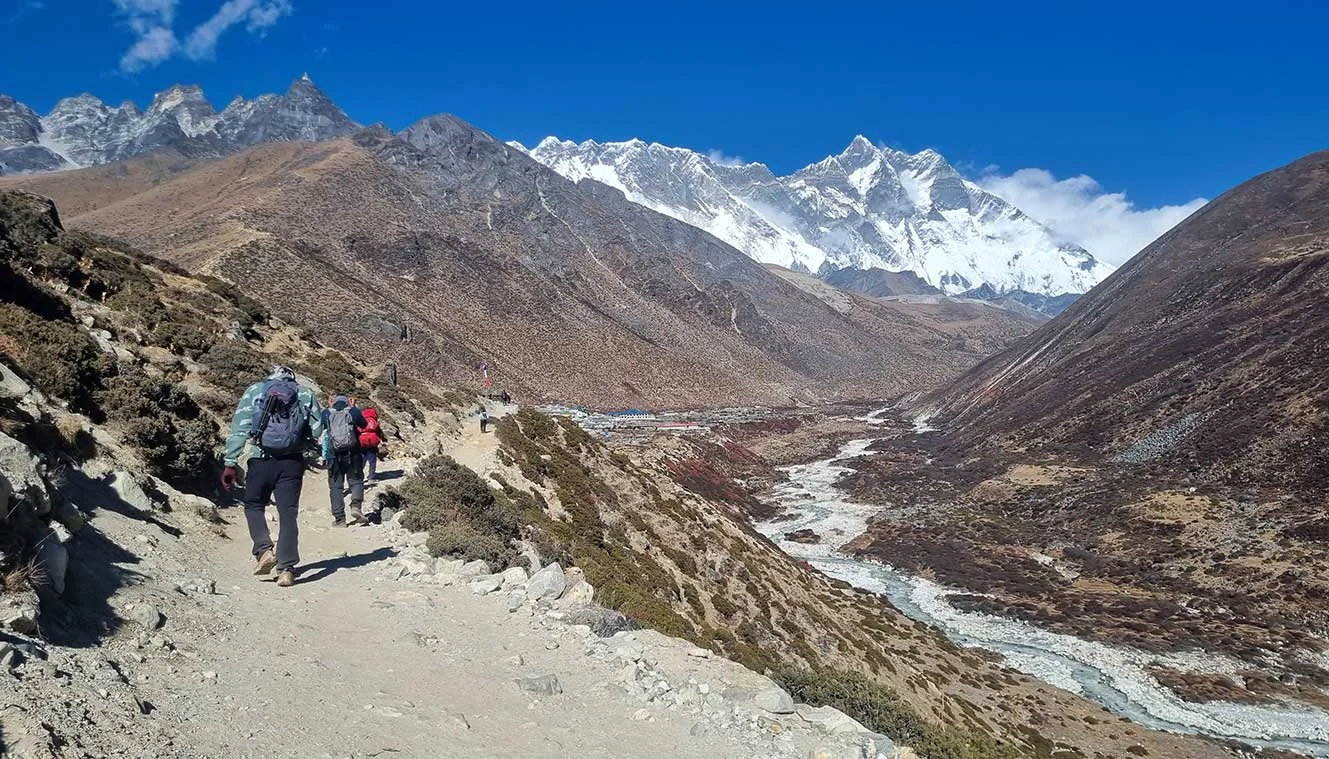
Dingboche To Lobuche | Pay Your Respects In Everest Memorial
- Altitude: 4,950 m/ 16,200 ft.
- Trek Distance: 7 km | Duration: 6 hrs.
- Altitude Gain: 600 m/ 1,950 ft.
- Tricky climb on moraine and rocky terrain.
- You can visit the memorial shrine.
- The top of the ridge is filled with prayer flags and stones which are memorial shrines for climbers who lost their lives on Mt. Everest.
- As you cross Khumbu Glacier, you will see Mt. Nuptse (7,861 m).
Today’s walk will take you from Dingboche to Lobuche through alpine pastures and in the summertime, you can see Yaks grazing in these pastures. You will trek towards the end of the moraine of the Khumbu Glacier offering spectacular views of Mt. Nuptse. At the moraine, you will see stone monuments, these are dedicated to six Sherpas who died in an avalanche along with monuments dedicated to other mountaineers. From here, it’s a steep climb towards Lobuche where you will get a magnificent view of Mt. Nuptse and the sunset over this mountain peak is even more spectacular. From Dingboche, you will have to ascend a small ridge behind the village, towards the north you can see Lobuche Peak (6119 m) and the snowfields of Cho La. Later you will cross Khumbu Khola, the huge glacier moraines of the Khumbu Glacier flowing from Everest. Crossing the memorial cairns, and following the valley stream, you will arrive at Lobuche in the early afternoon. The 6 hrs trek covers 7 km and brings us much closer to the Everest Base Camp.
Start the hike from Dingboche along the inclined path running alongside the mountain’s wall and go further into the valley. As you make your turn along the path and inside the valley, you arrive at the village of Pheriche, we will be staying here on our way back from the base camp. For the next 2 to 2.5 hrs, you will follow into the valley, while the incline is not very difficult but you are at a high altitude, so take it slow and steady and avoid using too much energy too quickly. A river lies in front of you and crossing the river, you will arrive at the village of Thukla. This is a great spot to rest for a couple of minutes, refuel yourself and continue on the trek.
The next part is going to be the toughest part of the trek today as you climb to Lobuche. The climb takes you along a zig-zag path all the way to the Thukla Pass and it becomes steeper and steeper as you climb until you reach the edge of the Khumbu Glacier and the Everest Memorial. The oxygen gets less and less from here and the temperature also starts to get lower. The remaining part of the trek follows the left side of the glacier as you reach the village of Lobuche and you will also gain a little elevation from the glacier as you arrive at Lobuche. In front of you, you get to see a beautiful view of Nuptse in front of you. Lobuche is a small Himalayan village with only a handful of teahouses. We will stay the night here before we head out to the last village on the trek tomorrow.
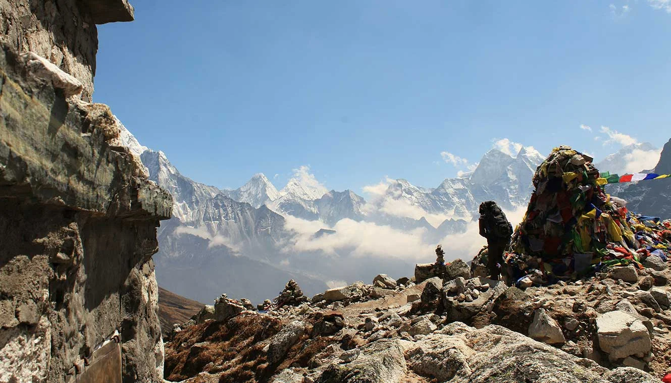
Lobuche To Gorkhashep | Excursion To Everest Base Camp
- Altitude: Gorakshep - 5,150 m/ 16,900 ft & highest point - 5,350 m/ 17,750 ft.
- Altitude Gain: 200 m/ 700 ft.
- Lobuche To Gorakshep: 6 km | Duration: 4 hrs.
- Gorakshep To EBC: 3 km away each.
- It’s Everest Base Camp Day Today.
- Good steep climb to Gorakshep.
- It takes about 3 to 4 hrs to reach Gorakshep.
- Lunch is at Gorak Shep.
- A steeper climb to Everest Base Camp.
- The trek to Everest Base Camp is not very difficult.
- Trekker\\\\\\\\s stop point is just below the actual base camp.
- Most tour groups are not allowed to enter or stay in EBC.
- Make sure you carry your day pack since you will need water.
- You can enjoy amazing views of Nuptse, Khumbutse, and Pumori mountains from the base camp.
- Overnight stay in Gorakshep.
Note: Drinking water in Gorakshep is chargeable. We don’t include drinking water on the trek which you can buy from a number of places between $1 to $3 a bottle (it gets more expensive towards the base camp). The better alternative is to buy water tablets in Kathmandu/Pokhra for around $2 and treat the water.
Today is the most exciting day of the trek as you make an excursion to the Everest Base Camp. An adventurous journey and a great trekking experience await you. Waking up early, have your breakfast, and gear yourself up. We will follow the trail from Lobuche through narrow gaps in the mountains and glacial moraines along the Khumbu glacier to Gorak Shep, the last village on the trek. Post lunch in Gorak Shep, we begin our trek to the Everest Base Camp, the ultimate adventure of this entire journey. We follow the lead of Sherpas as the trail changes every season as the glaciers move. It takes about 7 hrs of walking to reach Everest Base Camp. Spend some time at the base camp, celebrate your victory, capture some stills and descend back to Gorakshep. Overnight stay will be at Gorakshep.
The trek today can be broken down into two parts, the first part is the trek from Lobuche to Gorak Shep and the second part is an excursion to EBC and back to Gorak Shep. After breakfast at Lobuche campsite, we begin our trek towards Gorak Shep. It is a 6 km hike that takes about 4 hrs. Walking along the sandy and rocky parts, you will gradually gain elevation as you walk alongside the Khumbu Glacier. Mt. Nuptse looms on the horizon in front of you. Some sections of the trail are a little steeper than others. On the way, you will pass Sherpa flag monuments indicating that you are getting closer to the Everest Base Camp.
The last section of the trail directs into a glacier before you reach Gorak Shep. the terrain is rocky and uneven with inclines and declines. Be cautious and watch your step in this part and always pay heed to the trek leader\\\\\\\\s advice to complete the patch safely. You can see a sliver of the top of Mt. Everest from here, right behind Nuptse. Soon the village of Gorak Shep comes into view guarded by Kala Patthar and Pumori in the back. Make your way into the guest house have some lunch, reenergize yourself and get ready for the next part of the trek.
From Gorak Shep, you will walk right along the Khumbu Glacier, the Everest Range lies right behind it. It is a vast glacier and as you continue walking along the side of the glacier, you will constantly gain elevation until you reach the base camp. The incline is not very steep and is slightly moderate. A technical terrain lays ahead of you with a mixture of sand and rocks and it can get pretty slippery at some points as well. As long as you watch your steps, you will be good. Continue on and you will reach a point where the Khumbu icefall comes into better view as it winds down from the mountain to the valley. More Sherpa prayer flags mark the way to the base camp. In the final stretch of the trail, you will see numerous prayer flags flowing in the wind and the popular Everest Base Camp Rock. You have made it to the Base Camp, congratulations! While this is not the actual base camp, it is a trekker’s base camp. Most tour groups are not allowed to enter or stay in EBC. Once you have had enough time to enjoy the area around EBC, it is time to head back to Gorakshep. Follow the rocky trail back to Gorak Shep. We will stay the night in Gorak Shep.
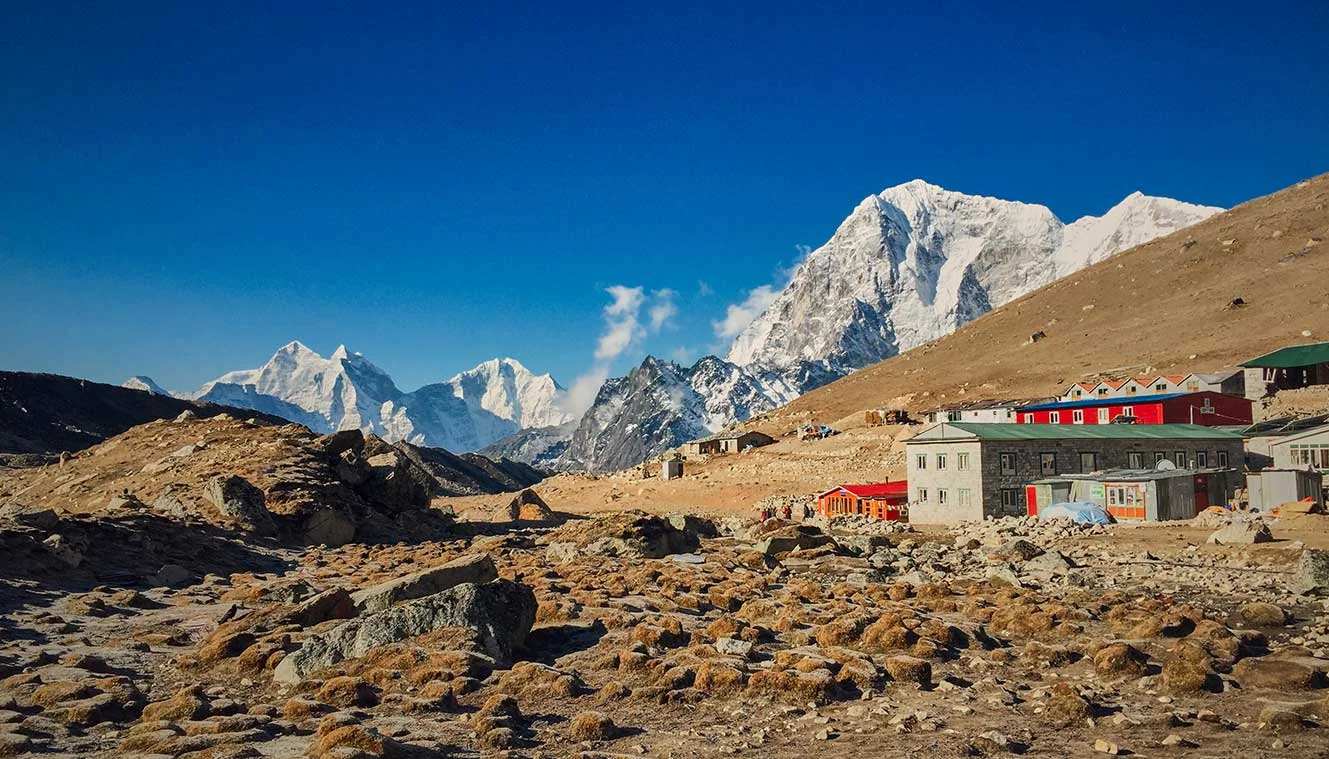
Hike To Kalapatthar And Retreat Trek To Pangboche | Enjoy Arresting Views Of Mt. Everest
- Altitude: Kalapatthar - 5,550 m/ 18,200 ft Pangboche - 4,300 m/ 14,100 ft.
- Gorakshep To Kalapatthar: 2 km each way | Duration: 3 to 4 hrs.
- Gorakshep To Pangboche: 25 km | Duration: 6 hrs.
- Altitude Loss: 850 m/ 2,800 ft
- Steep climb to Kalapatthar (difficult).
- Gradual descent to Pangboche.
- Start early in the morning to avoid early morning clouds.
- Kala Patthar is the rocky hilltop below Pumori.
- Views from the summit: Everest, South Col, Lhotse, Makalu, Khumbu Glacier & icefall, Pumori & Everest Base Camp.
- Breakfast at Gorakshep after Kalapatthar hike.
After your trek to EBC and back to Gorakshep, you are now ready to climb Kala Patthar. Gorakshep is also a good place to roam around, it has a couple of teahouses and it also used to be the base camp for climbing Mt. Everest in the 1950s. The trek starts with an easy walk from Gorakshep and you will be walking on sandy fields. After this, there is a steep climb of 45 minutes. After the strenuous climb, you will come to level fields and the walk is easy and gradual. You will have the comfort of walking for the next one hour, post which there is another steep climb to Kalapatthar for about half an hour. Mt. Everest from this point looks closer than you can imagine. From here, you will trek down to Pangboche.
Start your day early and leave your stuff at Gorakshep, only carry a daypack with the essentials as you will return to Gorakshep. As you cross the sandy trail and begin ascending, you will notice the Gorakshep village and Khumbu Glacier behind you including Ama Dablam. The top of Mt. Everest begins to peek out above the surrounding mountain ranges. The more you gain altitude the more Mt. Everest will come into view. The best part of today’s trek is that all along the trek you can enjoy the landscape of the surroundings and not just on the summit. The higher you get, the rockier and trickier the trail gets. Be mindful and watch your steps. The last patch is especially rocky.
The summit is a little difficult to navigate as well. You will know you are near the summit when the Sherpa prayer flags and weather reading device come into view. Take your time and dont rush to the summit to avoid any accidents. Once you reach the summit, you will get to see the breathtaking views of the entire Sagarmatha National Park but the main attraction is of course Mt. Everest itself. You will get the best view of Mt. Everest from here. Below Everest lies the Khumbu icefall that feeds into the Khumbu Glacier and to the right is the face of Mt. Nuptse. On the opposite side of the lake, you will see even more glaciers, lakes, and mountains, as far as your eyes can see. After spending some time at the top, descend the same path that you came in. When you are back in Gorakshep have a nice meal and refuel yourself as we will descend to Pangboche.
On the trek down, the first village will be Lobuche and throughout the trek, you will again be alongside the Khumbu Glacier. You have already completed this section while ascending up so you now have an idea of what to expect. The trek is a little tricky till Sagarmatha National Park sprawls out in front of you and the rest of the part is manageable. You can have some snacks at Lobuche before heading down to Pangboche.
As you descend, you will come to the intersection where one path diverges towards Dzonghla village, Cho la pass, and Gyoko Ri, and the one on the left heads towards Pangboche. Stay on the left side of the trail and you will come across another difficult patch of the trek. You will head down from the moraine wall of the Khumbu Glacier and descend to the Thukla Pass. Crossing the Everest Memorial, begin a tricky hike down to the river below and soon you will arrive at Pangboche.
Pheriche lies just below Dingboche so after crossing Thukla, you can take the lower path towards Pheriche instead of taking the higher path towards Dingboche. Once we arrive at Pangboche, you will check into a teahouse, have your dinner, and rest for the night before heading down to Namche Bazaar the next day.
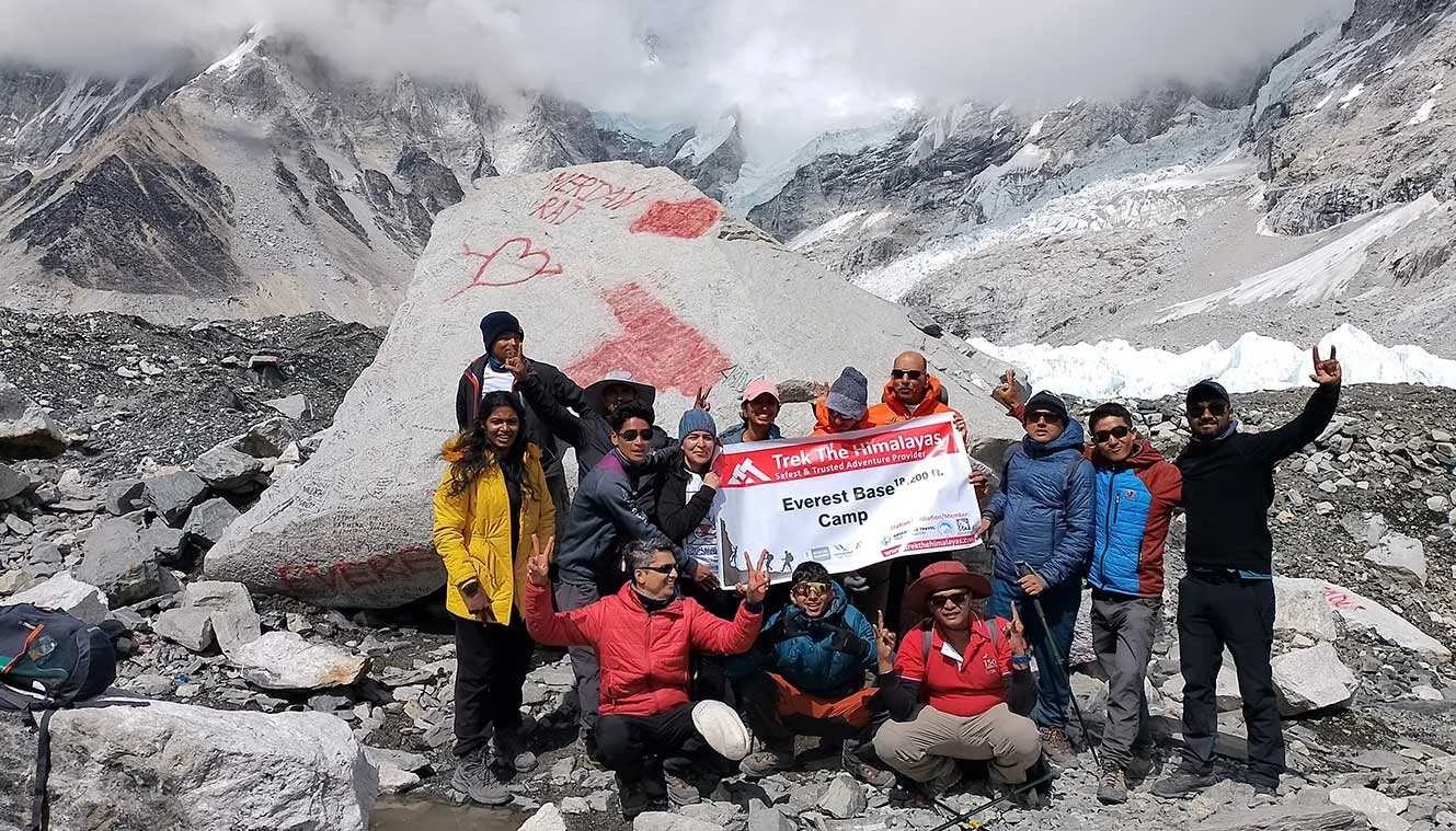
Pangboche To Namche Bazaar | Buy Some Souvenirs
- Altitude: 3,450 m/ 11,300 ft.
- Trek Distance: 15 km | Duration: 6 to 7 hrs.
- Altitude Loss: 850 m/ 2,800 ft.
- Moderately, continuous descent and short ascent just before Namche Bazaar.
After your descent to Namche Bazaar, the cumbersome part of the trekking is almost over. From here on the descent will be easy after having the Everest Base Camp trek. But we recommend starting early as it is a long walk. Start the journey by heading down to the village, across the river, and again climbing back up the valley wall. You can rest here for some time, catch your breath before resuming your decline down the valley.
Once you have declined the path, you will cross a suspension bridge followed by a 2 km incline along the valley wall. As you zig-zag up towards the trail, it becomes forested and once you have completed the uphill ascent, it is a fairly smooth walk for the remaining 5 km to Namche Bazaar. The path to Namche Bazaar is etched on a valley wall and there’s the river below. Soon the path bends inwards and you are welcomed with views of Namche Bazaar. Descend down to the village below and check into a teahouse. Rest well. Tomorrow will be the last day of your trek.
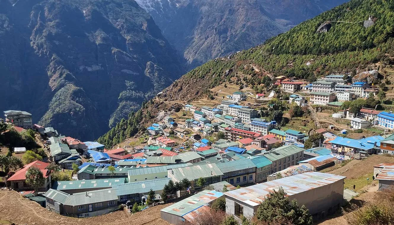
Namche Bazaar To Phakding To Lukla | Last Day Of Trekking
- Altitude: Phakding - 2,600 m/ 8,500 ft, Lukla - 2,850 m/ 9,350 ft.
- Altitude Loss: 600 m/ 1,950 ft.
- Trek Distance: 19 km | Duration: 7 to 8 hrs.
- Moderate, continuous descent till Phkading and gradual ascent to Lukla.
- Start your trek early in the morning as it is a long day trek.
- Stop at Phakding for lunch.
- Stay in Lukla.
Waking up to the lovely weather at Namche Bazaar, you can visit the place and roam around a little bit. You can explore the market and buy souvenirs from your trip to the Everest Base Camp and buy gifts for your friends and family. There are several local handicraft stores in Namche Bazaar as it is the biggest trade hub in the Khumbu region. You can also take a small walk-in around the Sagarmatha National Park and enjoy the local cuisine as well. Post which treks down to Phakding, it is an easy trek down to the village. The beauty of the distant mountains with several waterfalls adds to the beauty of your journey. This is the beauty of Nepal trekking, there will be a few uphill climbs but you will manage it very easily. The lush green beauty and forests will take your pain away. After this easy walk, you will reach Lukla. This will be your last day with the Sherpas and other crew members, so you would like to enjoy the day with a delicious dinner and a few drinks.
Right at the beginning of the trek, you will begin to lose elevation, after about 45 minutes of walking, you will arrive at a rest stop, the same that you came in on when ascending towards the basecamp. This is where you will get the last glimpses of Mt. Everest. After this point, there are no mountain views anymore only little peeks from behind the forest covers. You will cross a few suspension bridges and continue alongside the river as the initial steep decline eases into a more moderate decline. While most of the trek is downhill, there are a few uphill climbs as well. Pass by Sherpa stones into the village of Phakding. You are more than halfway to Lukla by now. We will stop at Phakding for lunch before descending further down the valley with river views, mountain ridges, and suspension bridges. You will also have several stair sections and an incline path all the way through. Passing by a few more villages, you will arrive at Lukla, your final stop for the day.
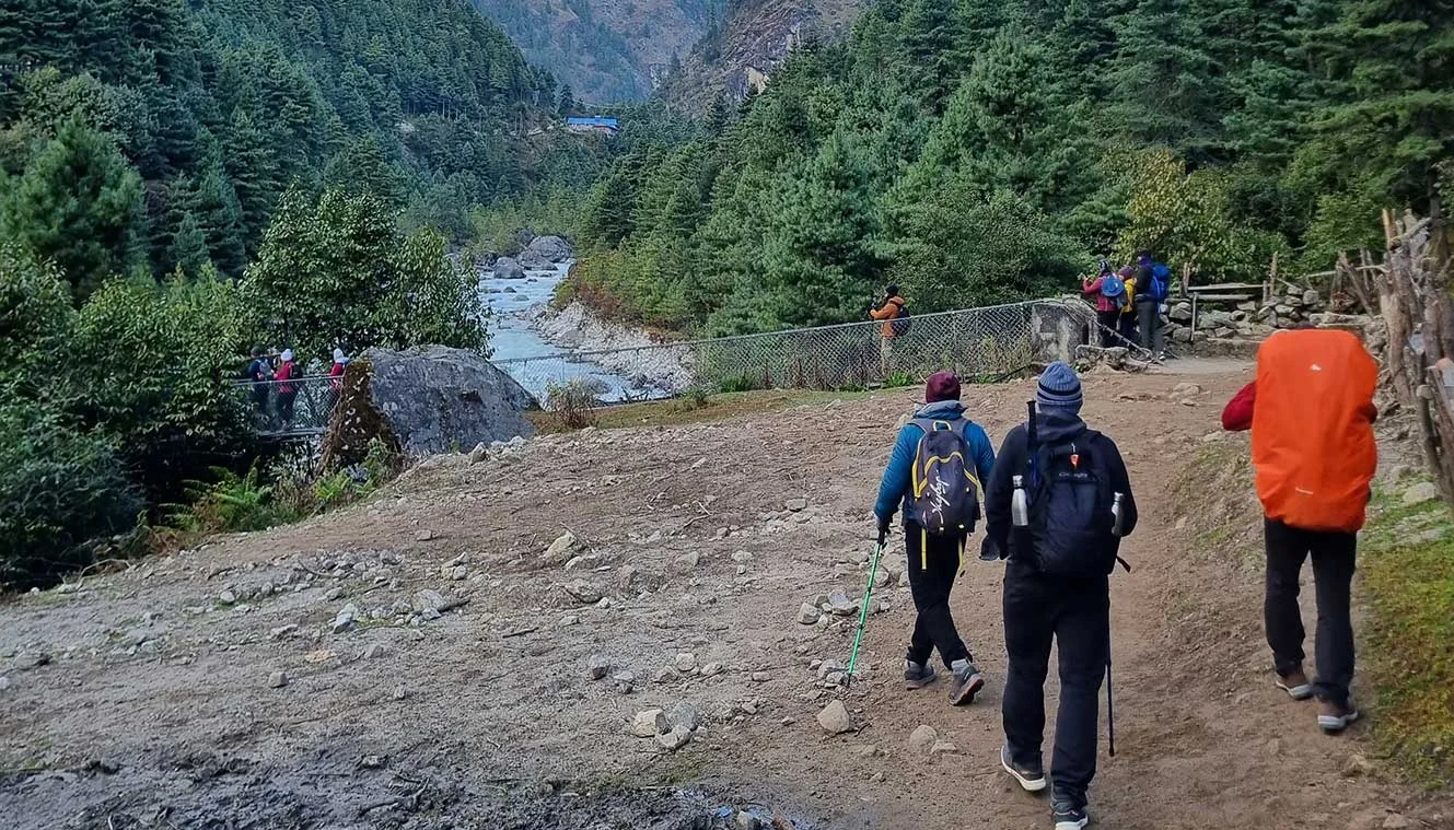
Fly Back To Kathmandu | Bid Adieu To The Mountains
Today you will have to wake up early as flights to Kathmandu are generally scheduled in the morning. This is because during the daytime, the weather is generally windy and there might be a delay in the flight timings. However, you can expect a slight delay in your early morning flight as well if the weather is not suitable. As you make your way through the security checks and your flight takes off from Lukla airport, you will have a magnanimous view of the surroundings. Drive back to Kathmandu from Ramechhap Airport and overnight stay in a hotel. You can book your further journey from here. We wish you a great journey towards your home with lots of memories.
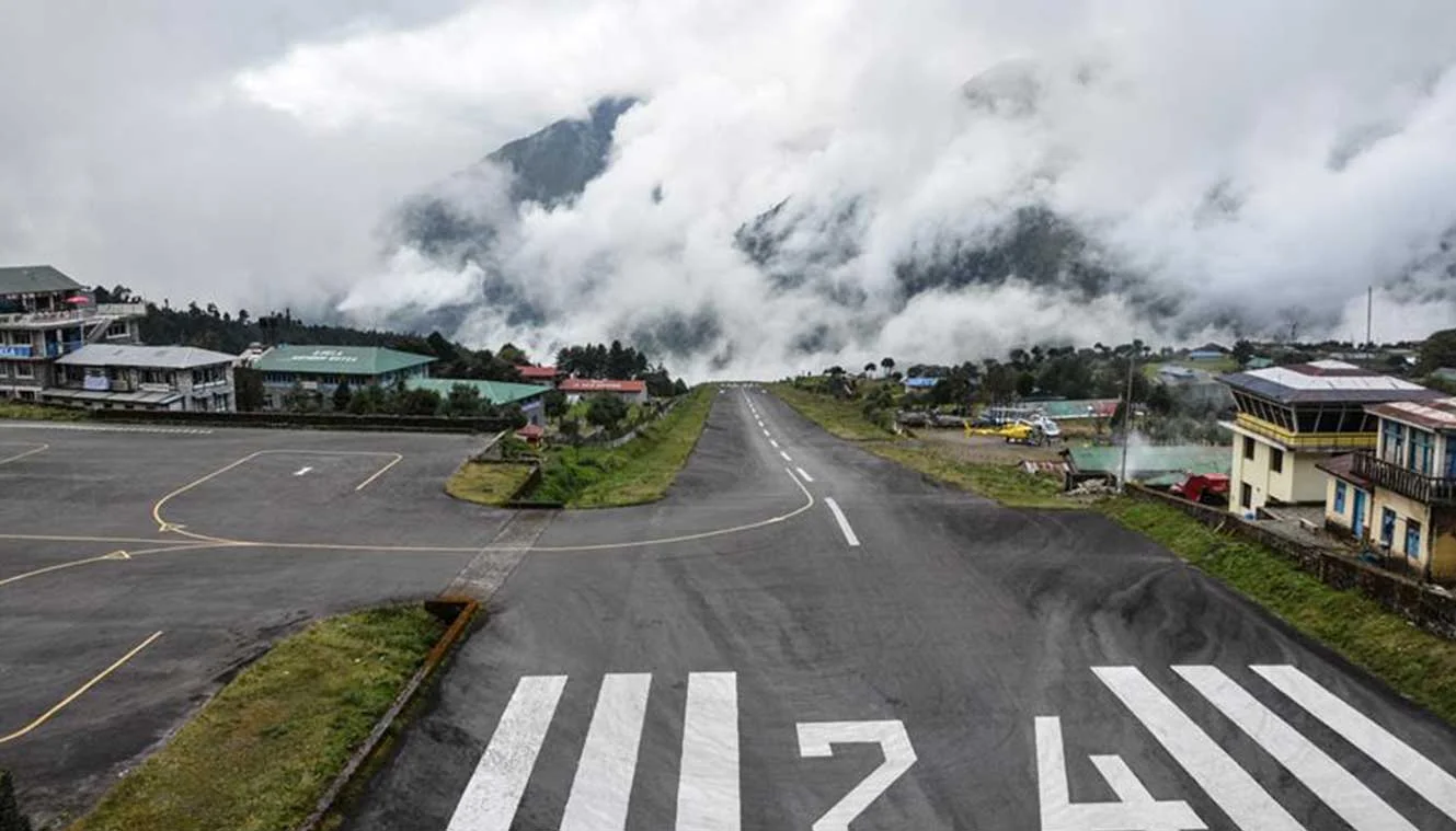
Day-1: Arrive At Kathmandu
Day-2: fly to lukla, trek to phakding | enjoy a scenic flight journey.
Note: Flights to Lukla are prone to delay due to weather, keep one or two buffer days in your plan.
Day-3: Phakding To Namche Bazaar | A Major Trading Hub In Khumbu
Day-4: acclimatization day | explore namche bazaar.
- Today is acclimatization day.
- You can hike up to Sherpa Cultural Museum to get a view of Everest and Ama Dablam.
- It’s worth exploring the town, a good place to buy trekking gear.
- ATMs, internet cafes, shops, and restaurants are available at extra cost.
- Stay in the guesthouse.
Day-5: Namche Bazaar To Tengboche | Visit The Largest Buddhist Monastery Of Khumbu
Day-6: tengboche to dingboche | stunning views of ama dablam, day-7: dingboche (rest day) | acclimatize to higher altitudes.
- Rest Day helps you acclimatize well to high altitudes.
- A small hike today will show you the world’s six tallest peaks including Lhotse (8,516 m), Makalu (8,463 m), and Cho Oyu (8,188 m).
- From another location, you can see the Imja Khola Valley and Dingboche Valley.
Day-8: Dingboche To Lobuche | Pay Your Respects In Everest Memorial
Day-9: lobuche to gorkhashep | excursion to everest base camp, day-10: hike to kalapatthar and retreat trek to pangboche | enjoy arresting views of mt. everest, day-11: pangboche to namche bazaar | buy some souvenirs, day-12: namche bazaar to phakding to lukla | last day of trekking, day-13: fly back to kathmandu | bid adieu to the mountains.
- Morning flight to Kathmandu.
- Your trek to Everest Base Camp is over.
- Spend the day in Kathmandu or fly back to your onwards destination.
- Hotel accommodation in Kathmandu is included in the cost.
Note: Weather conditions may cause flight cancellations. Delays are possible any time of the year but are more typical on summer departures. Keep one or two buffer days.
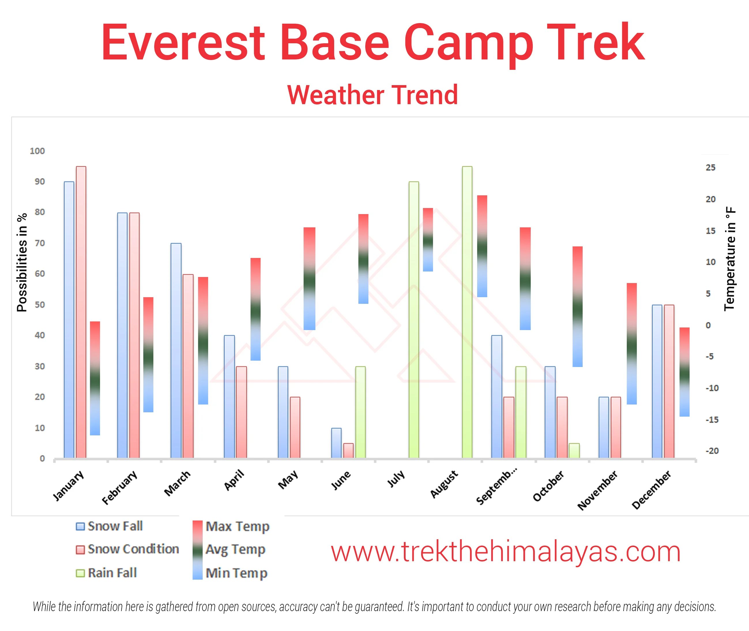
Medical & Disclaimer Form (Mandatory Documents) Click Here.
How To Reach
It is essential for everyone to arrive at Kathmandu (1:00 pm).
Upon booking the trek, you are required to come to our hotel. Your trek coordinator will provide you with details such as the name of the Kathmandu hotel, its location, and the contact person's number.
Options to reach Kathmandu.
The best way is to fly to Kathmandu Tribhuvan International Airport, which receives airlines mostly from South-east Asia and Europe. A number of direct flights fly from Delhi, Mumbai, Kolkata, Bangalore and Varanasi to Kathmandu. Popular airlines that operate regularly are Jet Airways, Air India, IndiGo and Nepal Airlines.
Delhi to Kathmandu by train + bus :-
Day 1: Take a train from Delhi to Gorakhpur. The Vaishali Express leaves Delhi at around 19:45 and arrives at Gorakhpur Junction at 09:10 next morning, or there's another train from New Delhi at 17:20 arriving Gorakhpur at 06:35 next morning. The fare is around Rs. 2440 (£35 or $54) in AC1, Rs. 1240 (£18 or $27) in AC2, Rs. 785 (£12 or $18) in AC3 or Rs. 315 in Sleeper Class - check current times and fares at www.indianrail.gov.in or www.irctc.co.in.
Day 2: Take a bus or jeep from Gorakhpur to the Nepalese frontier at Sunauli (Indian side) and Bhairawa (Nepalese side, often also called Sunauli). Journey time about 3 hours, Rs. 55 (£1 or $2).
Walk across the frontier, it's then a few minutes’ walk to the Bhairawa bus station. Take a bus or jeep on to Kathmandu. Buses take 9 to 12 hours, cost about 120 Nepalese Rupees or 230 Indian Rupees (£1 or $2). There are many buses daily, either daytime buses leaving regularly until about 11:00 or overnight buses leaving regularly from about 16:00 until 19:00. Indian rupees may be accepted here in Bhairawa, but not further into Nepal.
It's also possible to travel via Varanasi An overnight train links Delhi & Varanasi. Buses link Varanasi with the Nepalese border.
For your return journey from Kathmandu, you have the flexibility to choose between road or air transport options. Please note that our services extend only to the hotel, and the standard hotel check-out time is 11:00 am.
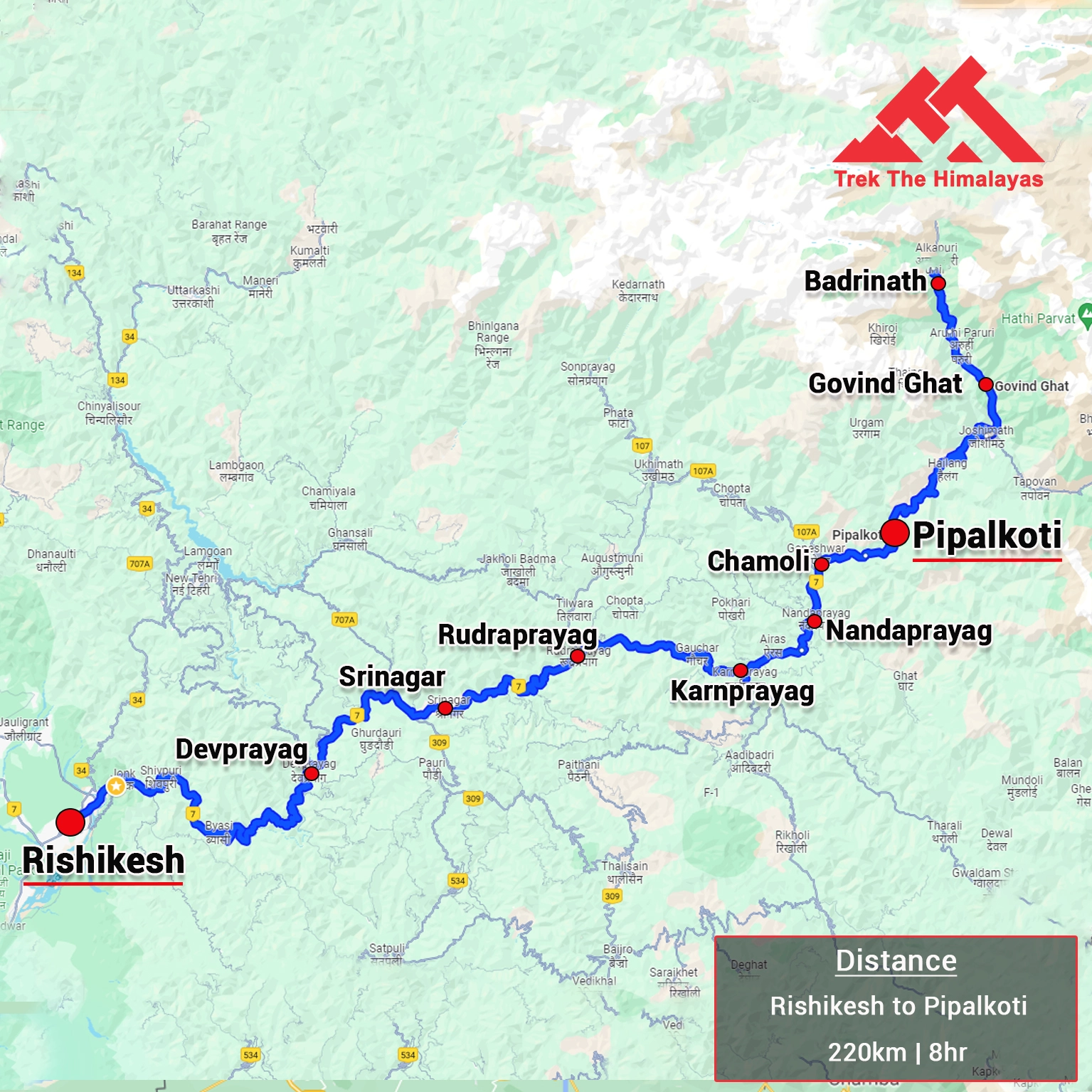
1. Accommodation (as per the itinerary):
- Day 1 and Day 13 Hotel Accommodation in 3 Star Hotel in Kathmandu with Bed & Breakfast.
- Day 2 to Day 12 Accommodation in Teahouse.
2. Meals (Veg + Egg):
- All meals Lukla to Lukla from Day 2 Lunch to Day 13 Breakfast
- Fresh fruit after dinner every day.
3. Support:
- 1 Versatile base camp manager: handles communication and deploys extra manpower in emergencies.
- 1 Mountaineering & First aid qualified professional trek Leader.
- 1 Experienced high altitude chef.
- Local experienced guides (Number of guides depending on the group size).
- Enough support staff.
4. Trek equipment:
- Sleeping bag, Sleeping liners (if required), Mattress, Utensils.
- 3 men all season trekker tent (twin sharing), Kitchen & Dining tent, Toilet tent.
- Camping stool, Walkie talkie.
- Ropes, Helmet, Ice axe, Harness, Gaiters & Crampon (if required).
5. First aid:
- Medical kit, Stretcher, Oxygen cylinder, Blood pressure monitor, Oximeter, Stethoscope.
6. Transportation (as per the itinerary):
- Arrival Departure Airport Transfer as per itinerary.
- Domestic airport transfers for Lukla.
- Kathmandu to Ramecchap /Lukla, and back.
7. Mules/porters to carry the central luggage.
8. Clock room facility available at the base camp for additional luggage.
9. All necessary permits and entry fees, Upto the amount charged for Indian.
10. Services from Kathmandu to Kathmandu .
11. TIMS card.
12. EBC Map.
13. Farewell Dinner in Kathmandu.
14. Trek Completion Certificate
15. Complementary Trekking Kit Bag (Duffle bag if opted for Porter facility).
1. Insurance (Mandatory).
2. Food during the transit.
3. Any kind of personal expenses.
4. Mule or porter to carry personal luggage.
5. Emergency evacuation, hospitalization charge or etc.
6. Anything not specifically mentioned under the head Inclusion.
8. Extra Expenses.
- Porters for the personal bag*.
- Wifi, charging batteries and hot showers.
- Customary gratuities for guides & porters.
9. Nepal entry visa (approximately $40 USD, Bring Two Passport Size photos) only for foreigners (Not for Indians).
10. Unforeseen costs due to flight cancellation, weather conditions etc.
11. Extra night accommodation Kathmandu.
Things can be provided on demand and availability (participant has to pay extra for these things).
1- Satellite phone/set phone - is a type of mobile phone that connects via radio links via satellites orbiting the Earth instead of terrestrial cell sites like cellphones. Therefore, they can operate in most geographic locations on the Earth's surface.
2- Gamow/PAC HAPO Bag (Portable Hyperbaric Bag) - is a unique, portable hyperbaric chamber for the treatment of acute mountain sickness (AMS), also known as altitude sickness.
3- AEDs (Automated External Defibrillators) - are portable life-saving devices designed to treat people experiencing sudden cardiac arrest, a medical condition in which the heart stops beating suddenly and unexpectedly.
Cancellation terms:
Cancellations prior to 25 days from the start of the Trip
Refund options
- 5% deduction of trek fee
- 100% cash voucher for any trip till one year
- Transfer your trek (any trek, any date) to your friend
Cancellation between 24 days and 15 days to the start of the Trip
- 30% deduction of trek fee
- 100% cash voucher for same trip till one year
- 85% cash voucher for any trip till one year
- Transfer your trek (same trek, any date) to your friend
Cancellation between 14 days and 10 days to the start of the Trip
- 50% deduction of trek fee
- 80% cash voucher for same trip till one year
- 70% cash voucher for any trip till one year
- Book the same trek, in the same season, with any other batch
Cancellation less than 9 days to the start of the trek
- No cash refund
- 20% cash voucher for the same trip till one year
- 10% cash voucher for any trip till one year
- Transfer your trek (same trek, same date) to your friend
Note- If a booking is made using a voucher or discount code, the policies related to vouchers and discounts cannot be modified.
In the unlikely event that TTH cancels a trek prior to the scheduled departure date:
While it is extremely rare for TTH to cancel a trek, we understand that unforeseen circumstances or natural disasters may occasionally require us to do so before the scheduled departure. These circumstances could include continuous rain or snow, thunderstorms, snowstorms, landslides, floods, earthquakes, or any other natural calamity that poses a risk to the safety of our trekkers. Additionally, unforeseeable events such as local riots, curfews, pandemics, lockdowns, government orders, or any similar situations that compromise the safety of the trekking experience may also necessitate a cancellation.
In the event of such a cancellation, TTH will provide you with a voucher equivalent to the amount you paid for the trek. This voucher can be redeemed for any of our treks within the next year, allowing you to still enjoy an adventure with us at a later date.
The issuance of a voucher is not applicable in situations where you are required to descend from the trek for any reason. The trek leader may make the decision to send you down from the trek due to factors such as insufficient fitness level, symptoms of Acute Mountain Sickness (AMS), high blood pressure, exceeding the designated turn-around-time, health concerns, or if you are found smoking, drinking, or violating the rules set for the trek. In such cases, the provision of a voucher does not apply.
In the rare event that TTH shifts a trek:
We would like to emphasize that weather conditions in high-altitude areas are highly unpredictable and can undergo sudden changes at any time, irrespective of the day. Additionally, circumstances beyond our control, such as natural disasters, political unrest, pandemics, and lockdowns, may impact the feasibility of conducting a trek. In cases where we are unable to proceed with an event due to such circumstances that are beyond our direct control, we will make every effort to provide you with an alternative trek that is safer and more suitable.
In such situations, we will issue a voucher to offset the cost difference between the originally scheduled trek and the alternative trek. This voucher can be redeemed at any time within one year from the date of issue. Please note that a refund fee or reimbursement of the cost difference is not applicable in these cases.
- Change of trek batch is dependent on the availability of seats in the batch
- In case of transferring a trek to a friend, he/she should satisfy all the mandatory requirements put forward by TTH
- TTH holds the right to change/cancel the policies, without prior notice
- Cash refund is applicable only in case of bookings made without using any promotional offer code or vouchers
Cash Voucher Terms:
- This is a non-transferable voucher
- The voucher cannot be merged with any other offer of Trek The Himalayas
- The voucher is valid for Trek booked directly with Trek The Himalayas in India
- To avail the voucher please use your register phone number or e-mail id
- All the other Terms of booking a trek with Trek The Himalayas are applicable to the voucher
- Trek The Himalayas holds rights to add/remove any of the Terms and Conditions without prior notice
Itineraries are based on information available at the time of planning and are subject to change. "Trek The Himalayas" reserves the right to change expedition dates, people or itineraries as conditions warrant. If a trip must be delayed or the itinerary changed due to bad weather, road conditions, transportation delays, government intervention, airline schedules, sickness, or other contingency for which TTH or its agents cannot make provision, the cost of delays and/or other changes are the responsibility of the participant. TTH reserves the right to decline, or accept, any individual as a trip member for any reason whatsoever.
Trek Essentials
PDF Of Trek Essential Download
Frequently Asked Questions(FAQ)
How to register/create an account with tth.
To register with TTH, visit our website - www.trekthehimalayas.com and create your account. To create your account you will need to use your email address and fill in all the details, set your unique password and your account is ready to use.
How to book a trek?
- To book a trek with TTH, you first need to register with us and create an account.
- Choose the trek that you want to do and click on available dates.
- You will land at the login page, fill in the required details.
- Add Participants, choose add-on services click on the Pay now button, choose your preferred payment method, and make the payment. TTH accepts multiple payment options, including credit/debit cards, net banking, and UPI.
- You will receive a confirmation email from TTH with all the necessary details about the trek, including the meeting point, transportation, accommodation, and other important instructions.
Made a payment but did not receive any confirmation.
please send an email to us at [email protected] or reach out to the numbers provided in the Help and Support section of your Trek Page. We will ensure that your issue is promptly resolved.
How to book off-load luggage and transportation?
To book services such as off-load luggage and transportation, you can find them listed as add-ons. These additional services can be booked at the time of your initial booking. If you miss booking add-ons during the initial reservation, you can log in anytime and easily book 4 days before the departure date add-ons through the platform.
If I have booked the wrong trek or date, how can I make changes?
In such a situation, please log in to your account and transfer your trek or date to the desired one within 12 hours or drop us an email at [email protected] 10 days before the departure date of the trek. After the initial 12-hour period, any changes will be processed according to the cancellation policy.
I am a beginner and confused which trek to book.
We recommend visiting our "Suggest Me a Trek" page. By filling out the form, our experts will contact you with the best possible trek options based on your preferences and experience level. Alternatively, you can reach out to us via email at [email protected] or give us a call using the numbers provided on our website for personalized assistance and recommendations.
How is family trek different from regular trek?
Family treks differ from regular treks by focusing on ease of difficulty, offering shorter durations for younger participants, Kid-friendly and easily digestible foods, child-friendly activities, maintaining a higher guide ratio for diverse age groups, and implementing additional safety measures for families.
Ideal treks for children.
Family Trek with Kids recommendation Only Dayara Bugyal and Chopta Chandrashila Trek.
Minimum age for children to trek with TTH.
Minimum age for TTH treks is typically 7 years, though this may vary depending on the specific trek.
Can we take children to high altitudes with their guardian?
Yes, you can take a kids to a high-altitude trek with a parent. Discuss with a trek expert before booking a trek.
Can we send kids without Parents/guardian?
Medical & Disclaimer Form (Mandatory Documents) Click here to download medical and disclaimer form
How to prepare a child for a high altitude trek?
Physical Fitness: Ensure your child is physically fit. Engage them in regular exercise, outdoor activities, and hikes to build stamina and endurance. Hydration: Emphasize the importance of staying hydrated at high altitudes. Encourage your child to drink water regularly, even if they don't feel thirsty. Proper Nutrition: Provide a well-balanced diet with sufficient carbohydrates for energy and foods rich in iron to prevent altitude sickness. Adequate Sleep: Ensure your child gets enough sleep in the days leading up to the trek. Quality rest is crucial for altitude adaptation. Educate on Altitude Sickness: Teach your child about the symptoms of altitude sickness, such as headache, nausea, and dizziness. Encourage them to communicate any discomfort immediately. Appropriate Clothing and Gear: Dress your child in layers to adjust to changing temperatures. Ensure they have appropriate trekking gear, including sturdy footwear. Positive Mindset: Foster a positive mindset. Encourage your child, and let them know it's okay to take breaks when needed. Medical Check-Up: Schedule a medical check-up before the trek to ensure your child is fit for high-altitude activities. Consult with a healthcare professional about any potential health concerns.
Kind of food will be served during the trek for children.
TTH takes special care to provide wholesome and nutritious food for children on treks. Here are some of the foods that are typically served for children: Breakfast: For breakfast, TTH serves a variety of options like porridge, cornflakes, bread, butter, jam, honey, boiled eggs, omelettes, and pancakes. Children can choose from these options to fuel themselves for the day's trek. Lunch: For lunch, TTH serves lunch which includes rotis, vegetables, rice, dal, and salad. The rotis are usually made fresh on the trek and are a good source of carbohydrates. The dal and vegetables provide protein and other essential nutrients. Snacks: TTH provides healthy snacks like fresh fruits, dry fruits, energy bars, cookies, and biscuits to keep the children energized throughout the day. Dinner: For dinner, TTH serves a hot and wholesome meal which includes soup, rice, dal, vegetables, and a non-vegetarian dish (if requested in advance). Children can also choose from a variety of desserts like custard, jelly, and fruit salad. Dietary requirements: If a child has any special dietary requirements, TTH can cater to those needs as well. For example, if a child is lactose intolerant or allergic to nuts, the kitchen staff can make arrangements to accommodate those requirements.
How to choose the right trek?
Choosing the right trek for a beginner can be a bit overwhelming as there are many factors to consider such as distance, elevation gain, terrain difficulty, weather, and time of year. Here are some tips that can help you choose the right trek for a beginner:
1. Determine fitness level: Assess the fitness level of the beginner to understand their physical capabilities. This will help you select a trek that is challenging but not too difficult.
2. Choose a well-traveled trail: A well-traveled trail will have more amenities such as signposts, water stations, and shelter. It is also safer as there will be other hikers on the trail.
3. Consider the length of the trek: For beginners, it is recommended to start with a shorter trek that can be completed in a day or two. This will help them get acclimatized to trekking and build their confidence.
4. Look for gradual elevation gain: Choose a trek with a gradual elevation gain rather than steep ascents. This will make the trek easier and more enjoyable.
5. Check the weather: Check the weather forecast before selecting a trek. Avoid treks during the monsoon season or winter when the trails can be slippery or dangerous.
6. Research the trail: Read about the trail to get an idea of the terrain, altitude, and difficulty level. This will help you select a trek that is suitable for the beginner.
7. Consult with an expert: If you are unsure about which trek to choose, consult our trek expert Mr. Nitin (+91 70600 59773) between 10 AM to 6 PM (Tuesday - Friday). Mr. Nitin will provide you valuable advice and guidance.
Overall, it is important to choose a trek that is enjoyable, challenging but not too difficult, and suitable for the beginner's fitness level and experience.
Can a beginner choose a tough trek?
It is not recommended for a beginner to choose a difficult Himalayan trek. Trekking in the Himalayas can be physically and mentally challenging, especially if you are not used to the high altitude, steep slopes, and rugged terrain. Choosing a difficult trek without the proper experience, fitness level, and preparation can be dangerous and put you at risk of altitude sickness, injury, and other hazards.
If you are a beginner, it is recommended to start with an easier trek and gradually build up your skills and experience. This will help you understand the challenges of trekking in the Himalayas, and also prepare you physically and mentally for a more difficult trek in the future. It is also important to choose a trek that matches your fitness level, experience, and interest.
What is the age limit for a beginner trekker?
There is no specific age limit for a beginner trekker. However, it is important to consider your physical fitness, health condition, and personal interests before embarking on a trek. Trekking in the Himalayas can be physically and mentally demanding, and requires a certain level of physical fitness and endurance.
If you have any pre-existing medical conditions or are above a certain age, it is recommended to consult with a doctor before embarking on a trek. It is also important to listen to your body and take breaks as needed during the trek to prevent exhaustion or injury.
If I am solo, can I join the trek in a group?
Yes, you can join the trek. We have fixed departure groups where you can simply book your trek and we will take care of curating a group.
How does my family get updated about my Trek?
Before you start the trek, it is recommended that you make all the necessary phone calls as during the trek you may or may not receive network coverage, once you come back to the Base Camp, you can reconnect with your family via phone once again. You can share your trek coordinator contact detail with your family members to get the latest updates about your trek batch.
What food can I expect?
At TTH, we provide wholesome and nutritious meals during the trek. The food is vegetarian and includes a variety of dishes such as rice, dal, vegetables, chapati, paratha, pasta, noodles, and soup. We also offer snacks such as biscuits, and salty, and dry fruits during the trek. Special dietary requirements such as vegan, gluten-free, or Jain food can also be arranged if informed in advance.
I am allergic to some foods.
If you are allergic to some foods, you need to let us know in advance so that we can make arrangements accordingly.
How safe is trekking with TTH?
TTH is a trekking company that prioritizes the safety of all its participants, including women trekkers. They have a comprehensive safety system in place, which includes a dedicated team of experienced and trained trek leaders and support staff who are equipped to handle emergency situations and provide first aid.
TTH also takes specific measures to ensure the safety and comfort of women trekkers. They have a separate tent accommodation for women trekkers, female trek leaders, and support staff. They also provide separate toilet facilities for women and encourage a safe and respectful environment for all trekkers.
Moreover, TTH has a strict policy against any kind of harassment and has a zero-tolerance policy towards such incidents. They have a designated Internal Complaints Committee (ICC) to investigate and address any complaints related to harassment or misconduct. Overall, TTH has a good reputation for safety and responsible trekking practices, and women can feel comfortable and safe while trekking with them.
How TTH will manage if I am the only woman in the group?
In case you are the only women in the group, we provide a single sleeping arrangement. Also, during the trek, the trek leader will always remain by your side to provide optimum safety and reassurance.
How can I know that other women are in the batch?
You can reach out to the trek coordinator to inquire about the number of female trekkers and their respective states who have booked the trek. Please note that the trek coordinator cannot disclose personal details of any trekker. Once you've confirmed your booking, a WhatsApp Group will be created for all the trekkers in your batch. This allows you to connect with fellow trekkers before the trek begins.
Can I know in advance, which trek is led by a women Trek Leader?
While many of our treks are led by female trek leaders, however, it is not possible to know which trek leader is assigned to which group. But nonetheless, whether the trek leader is male or female you can be completely assured of your safety and security with us.
Can I trek with periods? If yes, then where can I dispose of the sanitary pad?
Yes, it is possible to trek with periods. However, it is important to take some extra precautions and preparations to ensure a comfortable and safe trekking experience.
Here are some tips that can help you trek during your period:
1. Use menstrual hygiene products that you are comfortable with, such as tampons, pads, or menstrual cups. It is recommended to carry enough supplies for the entire duration of the trek.
2. Pack wet wipes, hand sanitizer, and plastic bags to dispose of used hygiene products.
3. Wear comfortable and breathable clothing that allows for easy movement and reduces friction. Avoid wearing tight or restrictive clothing that can cause discomfort.
4. Carry pain relief medication, such as ibuprofen or acetaminophen, in case of menstrual cramps.
5. Stay hydrated and maintain a balanced diet to support your energy levels and overall health.
6. Take breaks as needed and listen to your body. If you feel uncomfortable or experience any unusual symptoms, seek medical attention immediately.
It is also recommended to consult with a doctor before going on a trek during your period, especially if you have a pre-existing medical condition or are taking medication. By taking necessary precautions and being prepared, you can have a safe and comfortable trekking experience even during your period.
We provide proper disposal facilities for sanitary pad disposal during the trek.
How will the accommodation be during the trek?
We offer three person tents with twin-sharing for optimum comfort. A woman trekker will share a tent with another woman trekker and if you are the only woman in the group, you will be given a single accommodation for your comfort and privacy.
Are trek poles, Jackets and other equipment available for rent from Trek The Himalayas?
Yes, we do provide gears on rent. You can book it using you TTH account directly.
Who will be with us on the trek from Trek The Himalayas?
Mountaineering qualified Experienced and first aid certified Trek Leader, First Aid Certify local guide, Cook, helpers and supporting staff.
Who can not join the trek?
People suffering from Bronchitis, Asthma, High blood pressure, Epilepsy (got faints), TB , Heart problem or on higher BMI side are strictly not allowed to go on any Himalayan trek. Apart from this if you had any medical history, please let us know.
When it gets really cold can I consume alcohol?
No. Alcohol and smocking isn’t allowed while on trek. It is totally misconception that it will keep you warm. Your body need to acclimatize properly and for that eat properly and drink enough water; these things will keep you warm.
What type of toilet facility is TTH providing at the trek?
Toilet tents provide a convenient solution for answering nature's call in the great outdoors. Dry toilets, in particular, offer a highly sanitary approach. By digging a pit and utilizing mud and a shovel, you can easily cover up your waste. This method ensures cleanliness and hygiene while camping or exploring in the forest.
Remember to pack essential toiletries to complete your outdoor bathroom kit and maintain proper personal hygiene during your adventures. With these practices in place, you can enjoy nature while also respecting it.
How do I manage the negative temperatures on the trek at higher camps? Do I need special jackets?
Layer Up From Head To Toe Eat Full Meals, never sleep empty stomach You can keep warmee (if you’re more susceptible to cold). Use sleeping bag in right way and don’t leave free space in sleeping bag.
For upper body – Thermal layer – T-shirt (full-sleeves) – Fleece T-shirt (for extreme colds) – Fleece layer – Thick Jacket/Down Jacket – Waterproof or Windproof layer (outermost layer, when it is snowing or raining) - For Lower Body – Thermal layer – Hiking pants (normal) or Winter hiking pants
Based on how warm you feel you can skip any of the above layers. Your outer later should be windproof since it is windy at high altitude. The idea behind layering is that the more insulation you have the less cold you feel, and instead of wearing a very thick jacket if you wear multiple layers, your body will be better insulated against the cold.
Do you provide crampon/micro spikes and gaiters?
Yes, we provide micro spikes and gaiters, if required.
What documents need to carry on trek?
Mandatory documents: 2 xerox of ID having address (addhar card/driving license), 2 Passport size photographs, hard copy Medical form signed & sealed by doctor, disclaimer form sign by trekker and high altitude insurance.
If we come prior the trek date, Do you provide accommodation?
No. We don’t but we can suggest you good hotel/Stay nearby pick up location.
Do we get enough water for drinking?
Yes, trekker must carry 2 water bottles 1 litre each so they can refill it at campsite for drinking and keep themselves hydrate.
What kind of shoes we should buy for the trek?
You should buy shoes which has these three features –Good grip, Ankle Support and additional water resistant layers. Generally, we advise Quechua Trek 100, MH 500 and MH 100.
How do we get back after the trek?
Your return transport is also included in trek fee if you're opting for service Dehradun to Dehradun ; we use Tempo Traveller/ Tata Sumo/Max/Boloero kind of vehicle.
What happens if some members of the team need to turn back before the summit?
No one is forced to go on. There is always enough staff to split the party according to need and regroup later at the camp. Most people have no trouble reaching the highest campsite. If some members decide not to climb the final distance they can wait for the climbers to come back down the same way or take a lateral path to the descent route.
What kind of help is available in case of emergency?
We always have a first aid kit close at hand. Serious injuries are rare. Porters will assist injured climbers to the base of the mountain and onward to a clinic or hospital. Kilimanjaro International Airport is very near Marangu Gate if evacuation to the US or Europe is advisable.
What is Everest Base Camp Trek?
Everest Base Camp Trek (EBC) is a popular trekking destination located at the base of Mount Everest in the Khumbu region of Nepal. It serves as a starting point for many climbers who aim to summit Mount Everest and offers stunning views of the surrounding Himalayan mountain range.
Where is Everest Base Camp located?
Everest Base Camp is located in the Khumbu region of Nepal, at an altitude of approximately 18,200 ft above sea level.
What is the altitude of Everest Base Camp?
The altitude of Everest Base Camp is approximately 18,200 ft above sea level.
How do I get to Everest Base Camp?
To get to Everest Base Camp, you need to first fly to Lukla from Kathmandu and then trek for around 8-12 days through the Khumbu region of Nepal.
Do I need a permit to trek to Everest Base Camp?
Yes, you need to obtain a Sagarmatha National Park Permit and a TIMS (Trekkers' Information Management System) card to trek to Everest Base Camp.
How long does it take to trek to Everest Base Camp?
It takes 13 days to complete Everest Base Camp, depending on your fitness level and the route you take.
What is the best time to trek to Everest Base Camp?
The best time to trek to Everest Base Camp is during the spring (March-May) and autumn (September-November) seasons when the weather is dry and stable.
What is the weather like at Everest Base Camp?
The weather at Everest Base Camp can be unpredictable and harsh, with temperatures ranging from -20°C to 15°C (-4°F to 59°F) and strong winds.
What type of accommodations are available at Everest Base Camp?
There are teahouses and lodges available at Everest Base Camp that offer basic accommodations and food.
What kind of food is available at Everest Base Camp?
The food at Everest Base Camp mostly consists of Nepali and Tibetan cuisine, including dal bhat (rice and lentils), momos (dumplings), and noodle soup.
Is it safe to trek to Everest Base Camp?
Trekking to Everest Base Camp can be challenging and there are risks associated with high-altitude trekking, but with proper preparation and guidance from experienced guides, it can be a safe and rewarding experience.
What are the risks associated with trekking to Everest Base Camp?
The risks associated with trekking to Everest Base Camp include altitude sickness, hypothermia, falls, and avalanches.
Do I need any special gear to trek to Everest Base Camp?
Yes, you need to bring proper trekking gear, including warm clothing, trekking boots, a sleeping bag, and a backpack.
What physical fitness level is required for trekking to Everest Base Camp?
Trekking to Everest Base Camp requires a moderate to high level of physical fitness, as you will be trekking 8 for several days at a high altitude.
What are some other popular trekking destinations near Everest Base Camp?
Other popular trekking destinations near Everest Base Camp include Gokyo Lakes, Cho La Pass, and Island Peak.
- Date and Price
Rent A Gear
Trek Articles
Quick Links
Trekking & Hiking
Mountaineering
Multi Sports
Himalayan Pilgrimage
Website Privacy
Terms & Condition
Contact Info
Get in touch with us. E-mail us Monday-Saturday (10 AM to 6 PM)
Address: Trek The Himalayas, Kaintura Plaza, Badrinath Road Tapovan, Rishikesh - 249201 Uttarakhand
Phone: 8191004846
Email: [email protected]
2010 Trek The Himalayas. All rights reserved

Classic EBC Trek
- EBC + Gokyo Trek
- Jiri to EBC
- 3 Passes Trek to EBC
- Island Peak and EBC
- Acclimatisation
- Packing List
Get a Trek Quote
Jiri to everest base camp trek (expert guide) .
This article covers the Jiri variation to the Everest Base Camp by providing detailed maps, itinerary and by answering various question on the logistics of the trek, the best times to trek, what to pack and more.
The Jiri to Everest Base Camp Trek could be considered the ‘purest’ and most authentic trek in the region as it follows the same trails that the early pioneers in the 1950s would have used. Instead of taking the short flight from Kathmandu to Lukla , the Jiri variation starts with a 7-hour long bus ride to the town of Jiri where the trek begins.
Before the Lukla airport was built by the famous Sir Edmund Hillary and his associates, reaching what is now considered the starting point for most Everest treks involved hiking for a week through the countryside of the Solu Khumbu region. From Lukla, the trek follows the classic Everest Base Camp Trek through the towns of Phadking, Namche Bazaar, Tengboche, Pheriche and Gorak Shep before reaching Everest Base Camp situated on the south side of the mountain.
The trek is popular among individuals looking for an extended stay in the Himalayan countryside and a greater exposure to the real-life workings of the Sherpa people and their culture, untainted by the more popular tourist route that will be encountered later on the trek. The Jiri variation is also the only alternative to taking the nerve-racking flight into Lukla – not a flight for the easily unsettled!
Highlights of the trek include the first week spent chiefly in the Solu Khumbu region among pristine terraced farmlands, forests and the beautiful Dudh Koshi River. Most of the Sherpa people live in this region so expect to encounter the friendly hospitality of the locals while you learn about their culture and customs as you slowly acclimatise to the high altitude.
Past Lukla you will be greeted with breath-taking views of Everest and the surrounding peaks as you make your way up the Khumbu Valley towards base camp. Mingle with some potential summiteers at base camp before ascending Kala Patthar , the iconic viewpoint of the region.
We do not sell tours, we simply provide impartial advice . If you would like an exact quote from our recommended tour operator click Get a Quote.
[adinserter block="2"]
Jiri to Everest Base Camp
Regional map.
The Khumbu or Everest region of Nepal is indicated by the orange block on the map below. After flying into Kathmandu, the capital, a bus ride will take you to Jiri, which is located almost half way between Kathmandu and Lukla – close to the number 9 on the map.
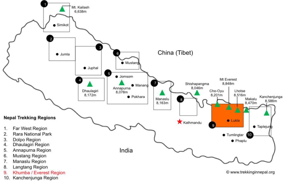
The Jiri to Everest Base Camp Trek takes you through the lower altitude region of Solu Khumbu up towards Lukla before joining up with the classic trek which heads north towards Everest Base Camp.
[adinserter block="3"]
Trekking Map
This not-to-scale map provides an overview of the Jiri to Everest Base Camp Trek by showing the main stops along the way and their respective altitudes. The trek starts at Jiri in the south-west before heading north-east through the Solu Khumbu region to Lukla, passing the towns of Sete, Junbesi and Numtala before reaching Surkhe, just below Lukla. From here the trek moves north to Phadking where it follows the classic Everest Base Camp Trek by hugging the right-most route on the map.
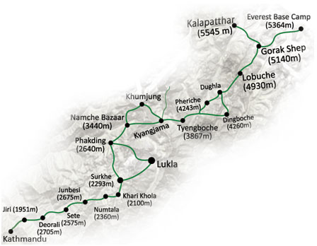
Once the high-points of Everest Base Camp and Kala Patthar have been reached, the trek backtracks on the same route down the Khumbu Valley to Lukla where a flight will take you back to Kathmandu. You only trek the Jiri-Lukla section on the outwards leg.
Recommended Guidebooks
It is a good idea to bring along a detailed guide for the trek as it is often hard to know which sights to check out or which routes to follow.
Even if you are going on a guided tour, most guide maps provide great background reading material that will help you get up to speed on the history of the region.
We recommend the Lonely Planet Trekking in Nepal Himalaya guide as it is updated regularly and contains information about a variety of treks in the region.
In terms of a map we recommend Nepa Maps 1:100,000 Jiri to EBC Map
[adinserter block="4"]
Detailed Itinerary
As with all treks in the Everest region, your journey will start in Kathmandu where the international airport is located. From there you will embark on a scenic bus ride through the hilly countryside. After 7 hours, you will have arrived in Jiri where the actual trekking begins.
Out of the 22-day journey, 18 days will be spent trekking for an average of 5/6 hours per day. The remaining days are spent travelling or acclimatizing to the high altitudes of the region.
The return leg of the trek follows the classic route back to Lukla where you will catch a flight back to Kathmandu, meaning the Jiri trek only varies from the classic trek in the outwards leg. The trek would become very long and tiring if you had to complete the Jiri-Lukla portion of the trek on both the outwards and inwards legs!
Day 1: Arrive in Kathmandu
Arrive in Kathmandu airport after a typically long flight from back home. Spend the rest of the day relaxing in your hotel or exploring the capital city of Nepal.
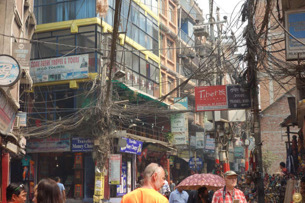
Vibrant streets of Thamel, Kathmandu
Day 2: Bus ride to Jiri
After an early-morning breakfast, depart on the 190km bus ride through the foothills of the Himalayas. After you leave the Kathmandu Valley you will be greeted with scenic views of the Sun Koshi River as you drive on the Swiss-built road to Jiri. The picturesque journey takes about 7-8 hours to complete on the mountain roads.
You will spend the night in the small riverside town of Shivalaya, just past Jiri.
Day 3: Jiri (Shivalaya) via Deorali Pass to Bhandar
The day starts with a river crossing on a suspension bridge before passing various tea houses that provide you with the opportunity to interact with the locals. As you proceed through the Deorali Pass you will see the many prayer flags and decorated walls that indicate your entry into a region of Tibetan culture.
After traversing the pass, you descend to Bhandar where you will sleep for the night.
Day 4: Bhandar to Sete via Lamjura Pass
The route takes you through some village fields before crossing a small stream that signifies the start of the forest. As you leave the forest, be sure to buy a walking stick from one of the local children as it can come in handy when tackling the steep descent you now face!
After the small Sherpa village of Kenja is reached, you start ascending the steep Lamjura Pass that brings you to the town of Sete.
Day 5: Onto Jumbesi
Another climb of the Lamjura Pass through forest of pine, magnolia and rhododendrons will provide you with great panoramic views of the region.
Descend the other side of the pass through fragrant forests full of fir and hemlock, which lead you to Junbesi, one of the largest towns in the area.
Day 6: Cross Ringmo Khola and hike to Nunthala
Head up the valley through the forest again, where you will catch your first sighting of Everest and the surrounding peaks. The closer mountains will appear much taller than Everest at first.
Cross the suspension bridge of Ringmo Khola then ascend to the village of Ringmo, where you will pass extraordinary examples of Tibetan architecture. Descend through one more dense forest packed full of life before reaching Nunthala where you will spend the night.
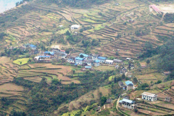
Day 7: Numthala to Bupsa
Shortly after leaving Nunthala you will reach the Dudh Koshi River – Milk River in Nepali. You will see why as you cross the suspension bridge above the foaming white rapids of the river.
From here you turn north and head towards the overnight destination of Bupsa – a gradual ascent up the valley.
Day 8: Finally you make your way to Lukla
From now the remainder of the trek will be largely uphill as you slowly make your way to the base camp. The day starts with an ascent through a forest bustling with monkeys and verdant foliage before reaching some barren hillside.
You will pass some small villages before you reach Surkhe, a small village located just below the Lukla airstrip.
Days 9-22 follow the same route as the classic Everest Base Camp Trek which can be found here .
[adinserter block="5"]
Jiri to EBC Trek FAQ
How much does the jiri to ebc trek cost.
The typical Jiri to Everest Base Camp Trek will cost in the region of £1,500 to £2,500. These are guided tour packages that will include all board and lodging, travel expenses, guides and porters and meals on the trip. We recommend using a western based guide that is charging around £2,000 per person, as packages cheaper than this are likely to be of a lesser quality due to cost cutting.
Tour packages will not include the cost of a Nepal visa – US$ 40 for a one month multi entry visa. They will also not cover and travel insurance expenses or personal expenses on the trip.
When is the best time to trek from Jiri to EBC?
The peak season for the Jiri to Everest Base Camp Trek will be the same as for the other Everest treks – February to May and September to October.
During these months either side of summer, the weather is likely to be stable and dry – making for great trekking conditions . The peak summer months will be extremely wet due to the coinciding monsoon season so we do not recommend trekking then. Winter treks are possible although some paths may be closed so it is not recommended to trek during winter.
How difficult is the trek?
The trek does not involve any technical climbing nor does it require any previous experience of climbing, meaning it is achievable for all. That being said, the Jiri variation is significant longer than the classic Everest Base Camp Trek, making it slightly more challenging .
Expect to trek 15km per day over the course of 5/6 hours. This is a number that can be achieved with a little bit of prior training and practice hikes. See our detailed training article for information on how to train .
Will I get altitude sickness?
The trek has been engineered to provide enough time to acclimatize to the higher than normal altitudes of the region. The first week of trekking to Lukla involves many days of ascent followed by descent, so that by the time you reach Lukla you would have been adequately acclimatized.
Altitude sickness can affect anyone regardless of age and fitness level so we still insist that you read up on the sickness and its symptoms before embarking on the trek. Our article on altitude sickness and acclimatization is sufficient preparation reading.
What gear should I pack for the Jiri Trek?
The packing list for a trek of this duration is quite extensive so we have compiled a complete packing list for Everest treks , in which we provide some brands that we recommend due to past experience trekking in the region.
What insurance do I need?
Yes, trekking at altitude in Nepal comes with various risks that will not be covered by typical travel insurance policies. We recommend taking out insurance that covers trekking up to altitudes of 6,000m as well as any trekking related injuries and altitude related sicknesses.
Read our detailed insurance guide that aims to help you find the best policy for this type of trek.
Alternatively, use the quote calculator below from our recommended partner, World Nomads. They offer insurance that covers guided hikes up to 6000m and include a premium for Helicopter Evacuation in Nepal.
Route Variations
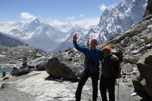
The most popular trek in the region, the classic Everest Base Camp Trek starts after a flight into Lukla. From there the hike begins with gradual ascents each day through various villages and small towns as you head north through the Khumbu Valley.
The trek takes you through the villages of Phadking, Namche Bazar, Tengboche, Pheriche and Gorak Shep before reaching the Everest Base Camp. You then retrace your footsteps as you head back down the valley, using the same route.
The trek is very popular during peak trekking season with over 30,000 people completing it annually. It typically lasts 14 days and covers 130km of trekking that involves covering an average of 15km per day over 5/6 hours.
Gokyo Lakes Trek
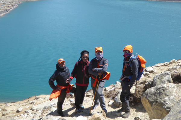
One of the more popular variations of the Everest Base Camp Trek, the Gokyo Lakes Trek, also starts at Lukla and follows the classic base camp trek to Namche Bazar where it forks north-west.
The trek proceeds through the towns of Dole and Machhermo before reaching the stunning Gokyo Lakes. From there you ascend to the peak of Gokyo Ri in the north, before traversing Cho La Pass and re-joining the classic trek at Lobuche.
The detour adds 2/3 days onto the trek but provides the wonderful opportunity to summit a peak while also avoiding some of the busier parts of the trek.
Three Passes Trek
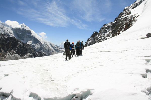
The Three Passes Trek is a tougher variation than the classic Everest Base Camp Trek because it involves crossing three very high passes as well as summiting some walking peaks which are not included on the classic trek.
The variation starts by following the classic trek from Lukla to Namche Bazar before veering west towards Thame and the remote Nangpa Valley. The first of the three passes encountered is the Renjo La, where you will be afforded magnificent views of Everest before descending to the idyllic Gokyo lakes.
The next pass, Cho La, involves walking up a fairly steep and icy trail before reaching a small glacier at the top. From here, you descend and re-join the main base camp trek where you summit Kala Patthar – the iconic viewpoint. You continue onto base camp itself before descending to Lobuche.
You then head east over the third pass of Kongma La and continue onwards to summit the third peak of Chukking Ri. Once again you will have amazing views of the surrounding peaks that you would not get to see on the classic trek. The circuit is completed by returning to Lukla through the main Everest trail.
Island Peak Climb
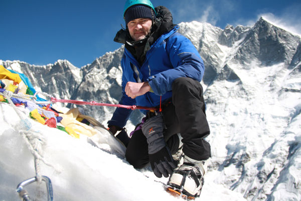
The variation trek that involves summiting Island Peak is significantly harder than the classic Everest Base Camp Trek. The climb to the peak is somewhat technical and requires basic knowledge of using crampons and ice axes. Standing at just under 6,200m, however, altitude can be the real challenge.
Most climbers of Island Peak use the traditional base camp trek as a means of acclimatizing before heading to the Island Peak Base Camp via Dingboche on the main trail, or by traversing the Chongma La pass. Summiting from the base camp typically takes two days and the whole variation will add around 4 days onto the classic trek.
Mark Whitman
Hi, I'm Mark! Welcome to EBC Trek Guide - the Web's No.1 Trekking Guide to Everest Base Camp. I have trekked all over Nepal, but the Everest region remains my favourite. I hope you find all the answers you are looking for on this site. If you have any questions don't hesitate to drop a comment below! Happy Trekking!
Leave a Reply
Your email address will not be published. Required fields are marked
Pls help me In Reaching to Ebc
Hi Ajay, not sure what your question is?
Unless the Jiri portion of the trek has changed since I did it more than 30 years ago, the altitude profile graph is incorrect, suggesting as it does that you don’t reach 3,000 metres till well past Lukla. According to Stephen Bezruchka’s Trekking in Nepal (the bible, in those day) that I used and still have, the Lamjura pass near Sete is 3,530 metres high. Further along the trail, past Ringmo, you cross the Tragsindho La pass at 3,071 metres. Then, after descending to the Dudh Kosi at 1,493 metres, you climb to Khari La at 3,078 metres. All this before Lukla, and with large descents between the high passes. The advantage of having all these high passes prior to Lukla is that it means you’ll be much better acclimated to the higher elevations after Namche than those trekkers who fly into Lukla.
Hi Brian, thanks for getting in touch. Your are indeed correct, the altitude profile graph was mapping the end to end points for each day and ignoring the passes – not very helpful. I have removed it and will get our editor to update for clarity. Thanks for spotting that and pointing it out!
I wish to summit island after covering 3 passes and starting from jiri . Duration and cost pls. Solo trekkers. 62. From India only.
Hi Goutam, you can get a quote here: https://ebctrekguide.com/go
Here is the sixth thing nobody tells about EBC trek: better alternate route to EBC replacing the run-of-the-mill Tengpoche trail.
It seems to be the best kept secret in Khumbu that there is a much better scenic route opposite side of Tengpoche offering just amazing views across the valley. All trekkers doing only EBC (no Gokyo, that is) should go up this way, and visit Tengpoche on the way down. Thus the itinerary on the way up should be Lukla – Monjo – Namche (2) – Mong La (lunch) – Phortse – Pangpoche (lunch) – Dingpoche (2) – Lobuche – etc.
Several big name agencies have started using this route on the way up (NatGeo, Adventure Consultants etc).
Even better is one where the first night in DIngpoche is replaced by a visit and overnight at Ama Dablam Base Camp, or actually Mingbo Lodge few hundred meters south from there. As the lodge is at the same altitude as DIngpoche (4300m). Thus the ultimate itnerary is Lukla – Monjo – Namche (2) – Mong La (lunch) – Phortse – Pangpoche (lunch) – ADBC – Pangpoche/Shomare (lunch) – Dingpoche – Lobuche – Kala Pattar, and back via Tengpoche.
Thanks for the insight Petrus.
Planning to do EBC via Jiri, how easy to spot the route from Jiri? Can you get lost in that route?
Is travelling solo without guide/porter frowned upon?
I kinda wanted to trek in my own pace and stay longer in between village.
Hi, the route is fairly easy to follow and there are lots of villages along the way so you can always ask if you get a little lost. I recommend taking a good map and compass though, just in case. Certainly not frowned upon to walk it alone, although if you can supply some work for a local guide or porter that is always appreciated.
Get a quote from the best local trek operator in Nepal!
Get my recommendations on the Best EBC trek operators
Mount Everest: The Routes
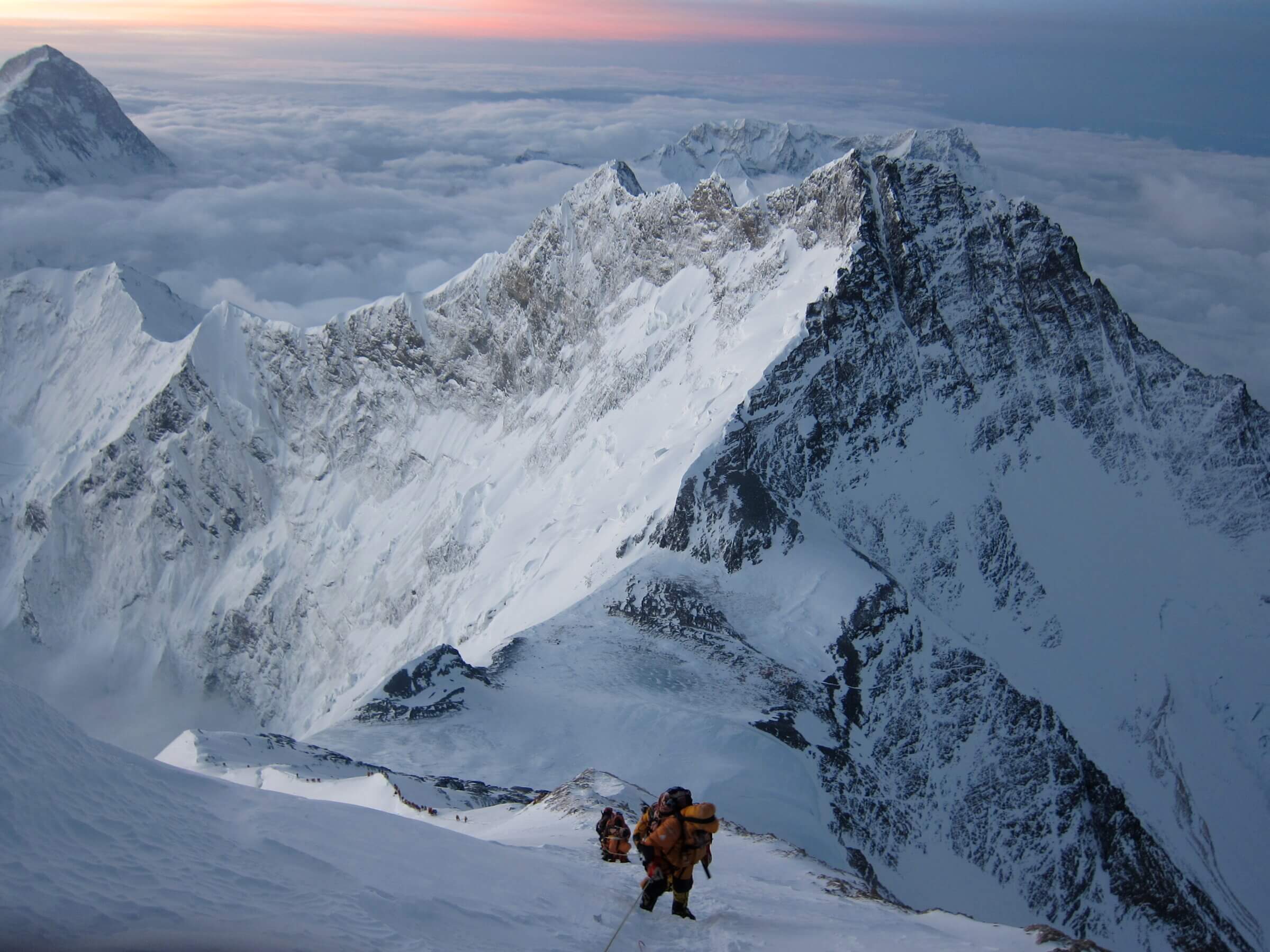
At 29,035’/8,848m above sea level, Mt. Everest is the tallest mountain the world and sits directly on the border between Tibet and Nepal. To Tibetans, the mountain is known as Chomolungma, meaning “Mother Goddess of the World”; to the Nepalese, it is Sagarmartha, meaning “The Head in the Great Blue Sky”. The mountain exudes a spiritual magnetism and, as such, has a storied climbing history. Through hundreds of expeditions over the last 100-odd years, two primary routes have been established from Everest base to summit: the South Col Route and the Northeast Ridge .
If you’re curious about what it takes to climb Mount Everest , check out The Road to Everest , where we lay out a natural progression of increasingly challenging expeditions that will adequately prepare you to climb to the Roof of the World.
The two main climbing routes on Mt. Everest.
The south col route of everest.
Teams start in Kathmandu and fly into Nepal’s Khumbu Valley, where they trek to South Side Base Camp of Everest (17,300’/5,273m) over a number of days to acclimatize. The Khumbu is incredibly beautiful and provides the opportunity to really immerse oneself in Sherpa culture, and the trek to base camp travels through several remote mountain locales along the way. South Side of Everest teams start the climb by moving through the Khumbu Icefall, up the Western Cwm, onto the Lhotse Face, then the South Col, the South Summit, up the Hillary Step, and finally to the summit. Typically, teams establish three camps on this route. These are Camp 2 at 21,500’/6,553m, Camp 3 at 23,500’/7,163m and High Camp at 26,300’/8,016m.
The Northeast Ridge Route of Everest
As the name implies, this route is on the north side of the mountain in Tibet. Alpenglow Expeditions has chosen to exclusively climb the Northeast ridge route on Everest because we feel it has less objective hazard (hazards beyond our control) and is less risky for our climbers, guides, and Sherpa. We begin our trip in Lhasa, Tibet and drive across the Tibetan Plateau to the North Side Everest Base Camp at 17,200’/5,243m. The drive spans three days, stopping in Shigatse and New Tingri (Shegar). From Shegar, we are able to drive directly into Base Camp. This approach allows us to better supply our base camp without needing to rely on transport by planes, porters, and yaks.
On Everest’s Northeast Ridge Route , teams typically establish an Advanced Base Camp (ABC) at 21,000’/6,401m, followed by 3 primitive, high-altitude camps above that. The terrain between EBC (Everest Base Camp) and ABC (Advanced Base Camp) is flat and glaciated, covered in scree and gravel. It’s uniquely beautiful, walled in by large waves of glacial ice on the fringes of the dirt. The mellow grade of the terrain makes it easy to transport gear back and forth between EBC and ABC, so we’re able to stock ABC with a full cook tent, dining tent, sleeping tents, and a lounge. We also have solar power and satellite wifi to stay connected.
Above ABC is where the real climbing and fixed lines begin. We establish our first primitive camp at the North Col (the col between Everest and Changtse) at 23,000’/7,000m. Camp 2 is established at 25,590’/7,800m on the rocky ridge between the North Col and the NE Ridge. It’s a barren camp, with tiny platforms of piled rocks just big enough for our tents. Above, Camp 3 is our final high camp sitting at 27,231’/8,300m. It is on a broad, steep, rocky face just below the NE ridge and mostly devoid of snow. The slope is steep, making it is difficult to pile rocks high enough to create a level platform the full size of a tent. As a result, the platforms end up only being wide enough for about two thirds of a tent- the rest just hangs down the slope.
Interested in climbing Mount Everest?
For more information on our Mount Everest expedition and other international expeditions check out our website, and feel free to connect with Griffin Mims, our International Coordinator.
You can reach him at [email protected], or schedule a call with him by accessing his calendar Book a call with Griffin .
Alpenglow Expeditions offers guided climbing expeditions on 7 Continents, 15 Countries, 30+ Mountains, 1 Mission: To Inspire Adventurers Through Powerful Mountain Experiences.
Curious about climbing Mount Everest? Contact the Alpenglow Team.
Mount everest expedition.
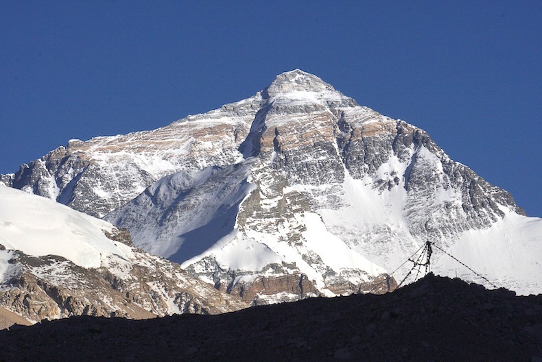

EVEREST THREE PASSES TREKKING ROUTE

EVEREST THREE PASSES
ROUTE GUIDE

Pin Tweet Share WhatsApp
A GUIDE TO THE TRAIL
In this guide we share detailed trail notes about the Everest Three Passes trekking route. This includes section distances and estimated trekking times, plus info about food, services, and accommodation options along the way. There is also a description of the trail and we offer a downloadable route map for online or offline use. As a visual accompaniment to this written guide you can watch our Everest Three Passes film, and for everything else you need to know to plan your trek, check out our Essential Guide To The Everest Three Passes Trek .
TREK OVERVIEW THREE PASSES FILM MAP & GPX DOWNLOAD THREE PASSES ITINERARY ELEVATION PROFILE
TREKKING ROUTE LUKLA → MONJO MONJO → NAMCHE BAZAAR NAMCHE ACCLIMATISATION DAY NAMCHE → PANGBOCHE PANGBOCHE → DINGBOCHE NANGKARTSHANG HIKE DINGBOCHE → CHUKHUNG CHUKHUNG RI HIKE CROSSING KONGMA LA LOBUCHE → GORAK SHEP KALA PATTHAR HIKE EVEREST BASE CAMP GORAK SHEP → LOBUCHE LOBUCHE → DZONGLHA CROSSING CHO LA DRAGNAG → GOKYO GOKYO RI HIKE CROSSING RENJO LA THAME → MONJO MONJO → LUKLA
*Some of the links in this post are affiliate links – if you purchase a product or service via these links, we may earn a small commission at no extra cost to you . This helps offset the cost of running this blog and keeps us travelling so that we can continue to produce great content for you. We greatly appreciate your support!*
EVEREST THREE PASSES TREK OVERVIEW
- DISTANCE | Approx 160 km (incl. acclimatisation/day hikes)
- DURATION | 17 – 22 days (incl. flying to/from Lukla)
- START/END | Lukla
- PERMITS REQUIRED | Khumbu Trek Card 2000 NPR; Sagarmatha National Park Fee 3000 NPR (SAARC nationals 1500 NPR / Nepali nationals 100 NPR)
- TREKKING SEASON | Best Seasons: April to Mid-May , October to Mid-November ; Shoulder Seasons: March, Late May, September, Mid-November to December ; Avoid: June to August, January to February
- TREK DIFFICULTY | Challenging
- ELEVATION GAIN/LOSS | +/- approx 13500 metres (incl. acclimatisation/day hikes)
- MAX ALTITUDE | 5611 m (Kala Patthar) or 5514 m (Kongma La)
- GUIDE MANDATORY? | Khumbu Pasanglhamu Rural Municipality has stated that it is NOT mandatory to trek with a guide in the Khumbu region
- ACCOMMODATION | Teahouses/Guesthouses in villages along the trail
- TREK COST | $34 – $140 USD per person, per day (budget independent trekker to fully inclusive package)
- RECOMMENDED TREKKING AGENCY | Himalayan Masters , Quote HOGG5 for 5% discount
DISTANCE Approx 160 km (incl. acclimatisation/day hikes)
DURATION 17 – 22 days (incl. flying to/from Lukla)
START/END Lukla
PERMITS REQUIRED Khumbu Trek Card 2000 NPR Sagarmatha National Park Fee 3000 NPR (SAARC nationals 1500 NPR, Nepali nationals 100 NPR)
TREKKING SEASON Best Season April to Mid-May October to Mid-November Shoulder Seasons March, Late May, September Mid-November to December Months To Avoid June, July, August January and February
TREK DIFFICULTY Challenging
ELEVATION GAIN/LOSS +/- approx 13500 metres (incl. acclimatisation/day hikes)
MAX ALTITUDE 5611 m (Kala Patthar) or 5514 m (Kongma La)
GUIDE MANDATORY? Khumbu Pasanglhamu Rural Municipality has stated that it is NOT mandatory to trek with a guide in the Khumbu region
ACCOMMODATION Teahouses/Guesthouses in villages along the trail
TREK COST $34 – $140 USD per person, per day (budget independent trekker to fully inclusive package)
OUR RECOMMENDED TREKKING AGENCY Himalayan Masters , Quote HOGG5 for 5% discount
EVEREST THREE PASSES TREKKING FILM
Get a sense of the Everest Three Passes trekking route in our ‘silent hiking’ style ambient film.
Watch the behind the scenes version of our Everest Three Passes trek on Instagram stories
Watch the behind the scenes version of our three passes trek on instagram stories .
Everest Three Passes Trek Stories
MAP & GPX DOWNLOAD
EVEREST THREE PASSES TREKKING ROUTE //
We have created a detailed Everest Three Passes digital trekking map to accompany this guide. The full trekking route is marked, including Everest Base Camp and Gokyo Lakes, along with day hikes around Namche Bazaar and Gokyo, and to Nangkartshang, Chukhung Ri, Kala Patthar, and Gokyo Ri. Alternative routes avoiding the passes are also marked, as is the overland route between Salleri and Lukla.
Detailed stats and an elevation profile are included for each route section. Guesthouse settlements and tea shops are also marked, as well as key sights and practical info such as checkpoints, hospitals, and transport hubs. Guesthouses as per our own trek itinerary are marked, including info about prices and services, phone numbers (where possible), and a copy of the menu. Photos are included with almost every pin.
You can use the digital map online, or download it for offline use with a mapping app such as Organic Maps, Maps.me or Gaia GPS. This is very helpful for navigation assistance on the trail. It allows you to quickly pinpoint key places and services along the way and calculate distances and elevation differences between destinations.
Note that while we’ve tried to be as accurate as possible when recording and mapping the route, changes on the ground are inevitable (especially on routes crossing glaciers) and this map should not be solely relied upon for navigation.
EVEREST THREE PASSES TREK ITINERARY
TREK ITINERARY
We have outlined below what we feel is an ideal itinerary for the Everest Three Passes trekking route. This is a 19 day itinerary which includes flying to and from Lukla. We have noted the trekking distance and an approximate trekking time for each day (excluding lunch stops, breaks, etc), as well as stats on elevation gain/loss and sleeping altitude.
Note that this itinerary outlines an anti-clockwise trekking route, crossing Kongma La first, and Renjo La last. You can read more about our thoughts on why this is the best direction to trek in the ‘Is it best to do the Everest Three Passes trek clockwise or anti-clockwise?’ section of our guide.
For a few alternative route options which you may wish to consider, check out this section of our guide .
If viewing on a mobile device or tablet, scroll to the right to see the full table or flip your screen to landscape mode
*On days 10 and 11 the standard itinerary that most people follow is to visit EBC after lunch at Gorak Shep, then hike up Kala Patthar in the dark for sunrise the next morning (when it is bitterly cold). If you swap these two around as per the above suggested itinerary, you are guaranteed to have a less busy experience at both EBC and on the trail up Kala Patthar. As the skies are usually clearer in the morning you are also likely to have better views at EBC, however it is possible that the views from Kala Patthar will be obscured by afternoon clouds. If you’re lucky and have clear afternoon skies, then you will be treated to a fiery sunset glow on Everest and the surrounding mountains. If you hike up Kala Patthar in the morning, your mountain views will be brief as the sun rises directly behind Everest and you’ll soon be looking directly into the sun.
OUR RECOMMENDED TREKKING AGENCY
We partnered with Himalayan Masters for our Langtang Valley, Gosainkunda, and Everest Three Passes treks, and found them to be very professional and committed to a high level of service
To enquire about booking your own trek, get in touch via email at [email protected] and mention the code HOGG5 to get a 5% discount off the cost of your trip
EVEREST THREE PASSES TREK ELEVATION PROFILE
ELEVATION PROFILE
The image below shows the elevation profile of the Everest Three Passes trek, starting and ending in Lukla and going in an anti-clockwise direction, crossing Kongma La first, Cho La second, and Renjo La third. The route shown here includes the various acclimatisation and side hikes outlined in this guide. Elevation is displayed in metres and distance in kilometres.

3D ROUTE MAP
Watch our 3D relief map video of the route to visualise the landscape and get a sense of the Everest Three Passes trek.
EVEREST THREE PASSES TREKKING ROUTE BREAKDOWN
ROUTE BREAKDOWN AND TRAIL DESCRIPTION
Below is the breakdown of the Everest Three Passes trekking route as outlined in the itinerary table above. Each day includes an overview, distances, elevation gain and loss, estimated trekking times without breaks, a detailed description of the trail, and info about food, services, and accommodation options.
The following route breakdown starts and ends in Lukla. For detailed information about the various ways of getting to/from Lukla, check out the the ‘How to get to Lukla’ section of our guide.
DAY 1: LUKLA → MONJO
Everest three passes trekking route day 1:, lukla → monjo, 12.6 km | + 1117 m / – 1148 m | 4.5 hours, + 1117 m / – 1148 m.
Today is a straightforward introduction to the trek. There are no lengthy ascents or descents and mostly wide stone paths to walk on, although there are plenty of short ups and downs throughout the day. There are a couple of checkpoints along the way and regular villages with guesthouses where you can eat or stop for tea. You’ll no doubt encounter plenty of pack mules and yaks – when letting them pass, be sure to wait on the side of the trail without a drop-off.

PLACES ON THE LUKLA TO MONJO ROUTE
The table below details the main guesthouse villages and services available along the route from Lukla to Monjo. On this section, there are also many smaller settlements and guesthouses that lie between those mentioned in the table. The distances and times noted cover the sections between the stops, not the total from the start.
If viewing on a mobile device or tablet, scroll to the right to see the full table or flip your screen to landscape mode.
Lukla → Phakding
7.5 km | + 472 m / – 687 m | 2.5 hours, + 472 m / – 687 m.
From the airport, the route leads through the town of Lukla, a bustling place with shop-lined streets and plenty of guesthouses and restaurants. Pass through the Pasang Lhamu Gate (celebrating the first Nepali woman to summit Everest) and at the bottom of the steps you’ll reach the Khumbu Trek Card registration desk.
It takes around 2 hours to trek from here to Phakding. The route leads downhill from Lukla before climbing towards Phakding, although there are plenty of flatter sections and some short ups and downs. The trail is mostly on wide stone paths, with a few bridges to cross along the way. You’ll pass through villages regularly and there are plenty of options for tea or food stops. There are also a number of mani stones and prayer wheels – be sure to walk on the left when passing these.
Phakding is a busy lunch spot and also a popular overnight stop for trekkers heading to Namche Bazaar. You’ll come to the main part of the village first, with a few more guesthouses situated across the bridge on the opposite side of the Dudh Koshi. Phakding is bigger than Monjo and tends to be the busier accommodation option. Continuing to Monjo means less people to share the trail with come morning.

Passing mani stones on the left between Lukla and Phakding

Phakding → Monjo
5.1 km | + 645 m / – 461 m | 2 hours, + 645 m / – 461 m.
The trail from Phakding to Monjo includes more uphill sections than before Phakding, but it isn’t too challenging. The route is similar: passing through various villages, walking on stone paths, and crossing a couple of bridges. There is another Khumbu Trek Card checkpoint at Toc Toc.
The village of Monjo is situated on a hillside and there are numerous guesthouses spread throughout, most with good views looking towards the impressive tree-covered cliffs opposite.
OUR MONJO ACCOMMODATION
NAME | Hotel Mini Tibet
ROOM | Two single beds, table, sheet and pillow, blanket + attached bathroom
ROOM COST | 1000 NPR
BATHROOM | Attached bathroom; sit down toilet; hot shower (solar)
DAL BHAT | 600 NPR (see full menu in our e-map )
SHOWER | 300 NPR for gas shower (no charge for solar shower in attached bathroom)
CHARGING | 200 NPR
WIFI | 300 NPR
PHONE SIGNAL | Phone signal, weak data
DAY 2: MONJO → NAMCHE BAZAAR
Everest three passes trekking route day 2:, monjo → namche bazaar, 5.1 km | + 983 m / – 390m | 3 hours, + 983 m / – 390m.
Today you’ll enter Sagarmatha National Park. You can enjoy lovely river and forest views and get to experience the thrill of crossing the 125 metre high Hillary Suspension Bridge (along with a couple of others). There is only one village along the way, Jorsale, which is around 40 minutes’ walk from Monjo. There are no teahouses after this however pop-up vendors can be found at a couple of spots on the climb to Namche, serving soft drinks, biscuits, fruit, face masks, strepsils, cigarettes… all the essentials ; ) Make sure you have enough water with you to last until Namche Bazaar.

PLACES ON THE MONJO TO NAMCHE BAZAAR ROUTE
Climb up through Monjo and you’ll reach the Sagarmatha National Park entrance on the edge of the village, where your permit will be checked.
Pass through the decorative gate and descend the wide stone staircase before crossing the Dudh Koshi on a suspension bridge and entering the small village of Jorsale. There are a few guesthouses, small shops, and cafes here.
Shortly after Jorsale you’ll cross a second suspension bridge and follow a wide trail alongside the river where you can enjoy increasingly beautiful views. About 1 km from the second suspension bridge you’ll reach a wonderful viewpoint where you can look up at the Hillary Suspension Bridge, the third and most impressive of the day.

The Hillary Suspension Bridge as seen from the valley floor, with the old bridge still in place below

From here you’ll be climbing all the way to Namche Bazaar, an ascent of about 700 metres. A wide stone staircase leads up to the bridge, where you may need to wait a few minutes depending on how busy the trail is. The Hillary Bridge can be pretty nerve wracking to cross, given its height from the ground (125 metres), and also if it’s especially windy and/or crowded.
After the bridge the climb continues up through pine forest on a rock and dirt trail which can get quite dusty, and which is also fairly steep in parts. This section can be a bit of a bottleneck, with lots of yak and mule trains, porters, and groups of trekkers moving in both directions. Look out for a convenient side trail favoured by porters which leads slightly uphill to the right shortly after the public toilets. This route runs parallel to the main trail for a while before rejoining it near the top, and it’s usually less busy. You’ll need to show your Khumbu Trek Card at the checkpoint on the outskirts of Namche, after which it’s just a short distance to the town itself.
Namche Bazaar has a mix of guesthouses and local homes, dotted up the terraced hillsides in a horseshoe shape. It’s a bustling place and the main hub for the region, with trekkers and climbers converging here on the way up and down to Everest Base Camp, the Three Passes, Gokyo Lakes, and elsewhere. There are lots of shops, bakeries, cafes, and even an ATM or two (although it’s best not to rely on this and bring cash from Kathmandu). If you need to pick up any extra gear, there are at least three genuine gear shops stocking Icebreaker, Osprey, Sea to Summit, Black Diamond, Salomon, La Sportiva, Katadyn, The North Face, etc, plus the usual fake gear shops.
OUR NAMCHE BAZAAR ACCOMMODATION
NAME | Hotel 8848
ROOM | Two single beds, table, sheets and pillows, blanket + attached bathroom
ROOM COST | 1500 NPR (attached bathroom); 1000 NPR (shared bathroom)
BATHROOM | Attached bathroom; sit down toilet; hot shower (solar and gas)
DAL BHAT | 750 NPR (see full menu in our e-map )
SHOWER | Free (rooms with attached bathroom); 500 NPR (rooms with shared bathroom)
CHARGING | Free in room with attached bathroom
WIFI | Free
PHONE SIGNAL | Yes
OTHER | Comfortable; great rooms (with attached bathroom) on top floor
DAY 3: NAMCHE BAZAAR ACCLIMATISATION DAY
Everest three passes trekking route day 3:, namche bazaar acclimatisation day, 5.6 km – 9.1 km | +/- 550 – 740 m | 3 – 6 hours, 5.6 km – 9.1 km, +/- 550 – 740 m, 3 – 6 hours.
It’s important to acclimatise properly throughout your Everest Three Passes trek. This allows your body time to get used to the ever-increasing altitude as you ascend to 5000 metres and above. Building in rest days, staying well hydrated, and going on acclimatisation hikes (where you climb higher during the day but sleep lower at night) are all good ways of helping your body acclimatise. Unless you are already acclimatised (for example you have been at altitudes of 4000 metres and higher within the previous week), spending a second night at Namche Bazaar is highly recommended, even if it seems like you feel physically fine. Use the extra day to go on an acclimatisation hike (no big backpack required!) and take the time to rest and hydrate.

The most common destination for an acclimatisation hike from Namche Bazaar is the Hotel Everest View (3880 m) , where you can get lunch or a drink and enjoy fantastic views from the terrace. It takes around 3 hours to hike up to the hotel and back down again.

Morning view of Namche Bazaar from the northeast

A must-visit on the way is Sagarmatha Next , a learning/experience/visitor centre and gallery championing waste management solutions for the Khumbu region. There are exhibitions on local culture, geography, history, climbing and trekking, flora and fauna, and the environmental challenges facing the region. There is also an art gallery showcasing artwork made from waste, a film salon showing documentaries, a VR experience, and a shop selling upcycled souvenirs made from waste plastic from the Khumbu, designed by Super Local. Check out this video to learn more about the great design project. At the Waste Lab artists and product designers work on upcycling projects, and workshops are held regularly. There is a cafe, too.
If you are interested in extending your hike for the day and seeing more of the local area, doing a loop via Khumjung village is a great option. Khumjung is the largest Sherpa village in the region, with an impressive monastery and a school founded by Edmund Hillary in 1960. The original classroom is now the Sir Edmund Hillary Visitor Centre , another great place to visit and learn about the Khumbu region. The loop hike (including Hotel Everest View) is around 7.5 km, and you should allow up to 5 hours for the hike. If you are interested and have the energy you could also include a visit to Khunde village (home to another monastery). This would extend the route to around 9.1 km and you should allow up to 6 hours.
SEE MORE FROM NEPAL

Everest Base Camp Trek: The Essential Guide

Everest Three Passes Trekking Route Guide

Everest Three Passes Trek: The Essential Guide

Gosainkunda Helambu Trekking Route Guide

Gosainkunda Trek: The Essential Guide

Langtang Valley Trekking Route Guide

Langtang Valley Trek: The Essential Guide

What To Pack For Trekking In Nepal

Upper Mustang Trek: The Essential Guide

Upper Mustang Trek Itinerary: A Day By Day Account

Annapurna Circuit Trek: The Essential Guide

Annapurna Circuit Trek Itinerary: A Day By Day Account

Manaslu Circuit Trek: The Essential Guide

Manaslu Circuit Trek Itinerary: A Day By Day Account
Day 4: namche bazaar → pangboche, everest three passes trekking route day 4:, namche bazaar → pangboche, 13.6 km | + 1541 m / – 1020 m | 6 hours, + 1541 m / – 1020 m.
This day offers fantastic mountain scenery and a beautiful trekking trail, with a mix of open hillside and forest paths. The start and end of the day is mostly straightforward, with a big climb in the middle section between Phunki Thanga and Tengboche. The monastery in Tengboche is well worth visiting, so be sure to allow enough time if you are interested.

PLACES ON THE NAMCHE BAZAAR TO PANGBOCHE ROUTE
Namche bazaar → tengboche, 9.5 km | + 1197 m / – 753 m | 4.5 hours, + 1197 m / – 753 m.
After climbing the steep steps through Namche Bazaar, the trail follows a fairly flat, wide dirt path that leads around the hillside. There is a bit of up and down but it’s generally easy going up until Kyangjuma (about 4 km). You’ll pass the Tenzing Norgay memorial chorten on the way, a great spot where you can see Ama Dablam, Lhotse, Everest, and other famous peaks. There are a few guesthouses in Kyangjuma and the views are nice. This makes a good tea stop, or a quieter alternative to overnighting in Namche.

Trekkers enjoy mountain views from the Tenzing Norgay memorial chorten

From Kyangjuma to Phunki Thanga it’s mostly downhill on a pleasant forest trail, passing through the small teahouse village of Lawi Schyasa a little beyond the halfway point. The options for food and accommodation are better at Phunki Thanga, and this is a common early lunch stop, good for fueling up before the big climb to Tengboche.
From Phunki Thanga, cross the Dudh Koshi on the suspension bridge and stop at the checkpoint before tackling the big climb. It’s around a 600 metre ascent up to Tengboche, a mixture of open hillside and forest. This can take about 2 hours. The first half is quite steep on dusty switchbacks while the second half is a bit more gradual.
Tengboche is dominated by the large gompa (monastery), with just two guesthouses in the village. The Tashi Delek bakery serves excellent cakes and real coffee along with the usual food menu items. The views from the balcony are wonderful, looking over to the monastery and up the mountainous valley. You can visit the monastery daily from 7am – 8am, 9am – 11am, and 1pm – 5:30pm. You can witness the monks chanting at 3pm, an option for those who choose to stay overnight in Tengboche.

The large monastery complex at Tengboche

Tengboche → Pangboche
4.1 km | + 344 m / – 267 m | 1.5 hours, + 344 m / – 267 m.
From Tengboche the trail descends about 150 metres to Deboche, a small settlement with a handful of guesthouses. From here the trail is fairly flat before climbing gently on a wide path through lovely forest, with trees dripping in Old Man’s Beard and views over the Dudh Koshi. After crossing a suspension bridge you’ll climb an open hillside on a mixture of paths and stone staircases, the final stretch to Pangboche.
Pangboche is a good sized village, quite attractive with a mix of teahouses and homes, and lots of farming fields stretching towards the river. There are fantastic mountain views when the skies are clear.
OUR PANGBOCHE ACCOMMODATION
NAME | Om Kailash
ROOM COST | 1000 NPR (attached bathroom); 500 NPR (shared bathroom)
BATHROOM | Attached bathroom with sit-down toilet and sink but no shower
DAL BHAT | 695 NPR (see full menu in our e-map )
SHOWER | 700 NPR for gas shower
CHARGING | 300 NPR (full battery charge)
WIFI | 600 NPR (Airlink for 24 hours)
DAY 5: PANGBOCHE → DINGBOCHE
Everest three passes trekking route day 5:, pangboche → dingboche, 5.7 km | + 602 m / – 250 m | 2.5 hours, + 602 m / – 250 m.
This is a short and easy day with wonderful views throughout. The trail climbs gently up the valley between the two villages of Pangboche and Dingboche. There are just a couple of short steeper sections, before Shomare and after the bridge.

PLACES ON THE PANGBOCHE TO DINGBOCHE ROUTE
Leaving Pangboche, a dusty trail climbs gently up the valley across scrubby hillside, with the river below and fantastic mountain views above. It takes about an hour to reach Shomare, with a bit of a climb at the end. Here you’ll find a number of teahouses.
The gentle climb continues and in less than 1 km you’ll reach the lone Sunrise Lodge, situated in a broad valley with braided trails approaching it. These eventually funnel back into a single trail which leads to a small metal bridge at the confluence of the Lobuche and Imje Khola rivers.

The trail leads down to a small bridge then climbs up and around the next hillside until Dingboche is revealed

The trail climbs a little more steeply after the bridge, up and around the hillside, but soon becomes a gentle incline once again. About 30 minutes beyond the bridge you’ll catch your first sight of Dingboche and arrive in the village shortly after.

First sight of Dingboche, a village with many guesthouses where people stay two nights for acclimatisation

First sight of Dingboche, a big village with many guesthouses where people stay two nights for acclimatisation
There are many guesthouses in Dingboche, as well as local houses, and the views of Ama Dablam from the village are wonderful. There are a few bakeries showing mountain-related films in the afternoon. Good options include the cosy Cafe Himalaya, which shows Sherpa at 2:30pm and has lots of old mountaineering photos and gear on display inside, and Cafe 4410, which has a large modern interior, a big food menu, and shows Sherpa and Everest from 2pm. The French Bakery (which also has a pharmacy) shows Free Solo , Meru , and a film about Helicopter rescues in the Himalaya on alternate days. Most of them also offer free device charging if you spend 400 rupees, which is more or less what it will cost to charge at your guesthouse.
OUR DINGBOCHE ACCOMMODATION
NAME | Mountain Heritage Inn
ROOM | Two single beds, sheets, pillows, blankets, carpeted room; spacious window ledge (no table); attached bathroom
ROOM COST | 1500 NPR (attached bathroom)
BATHROOM | Sit-down toilet and sink in attached bathroom, but no shower
DAL BHAT | 1000 NPR (see full menu in our e-map )
SHOWER | 800 NPR for gas shower
CHARGING | 500 NPR per device
WIFI | 24 hr/48 hr Airlink cards (700 NPR / 1500 NPR)
PHONE SIGNAL | No
OTHER | Spacious dining room and spacious rooms too; extra blanket charged at 200 NPR
DAY 6: NANGKARTSHANG PEAK DAY HIKE
Everest three passes trekking route day 6:, nangkartshang peak (5039 m) day hike, 5 km | +/- 766 m | 4 hours.
The hike up to Nangkartshang Peak (5039 m) offers fantastic views. It is also great for acclimatisation as you will climb high but descend to sleep at around 4300 m again. There is a clear path all the way to the top. The 766 metre climb should take around 2.5 – 3 hours, with the descent about half that. It’s best to start early (around 7:30am) for the best chance of clear views and calm conditions. Ensure you have plenty of water, snacks, and warm layers.

The climbing starts immediately from Dingboche, with the trail leading up from behind the French Bakery and Mountain Heritage Inn. You’ll pass under two white stupas with painted eyes near the start, then reach a series of small chorten on the ridge. From here you can see the classic Everest Base Camp trekking trail heading northwest to Lobuche. Alternative trails from the upper part of the village also lead to the chorten, skipping the stupas.
Continue climbing steadily uphill and you’ll pass some small prayer flags and rock cairns at various points. The views are fantastic, looking northeast up the valley towards Chukhung, across to Ama Dablam (6812 m), and to numerous other mountains all around. The final section to the top is a little steep so take your time, and there are some big rocks around the prayer flags with a steep drop-off on the eastern side, so take care.
After enjoying the views, follow the same route back down to Dingboche.

Trekkers climbing towards the second stupa above Dingboche

People rest and take in the views from the prayer flags (5039 m) on Nangkartshang

Fantastic view of Ama Dablam (6812 m)
COME JOIN US ON INSTAGRAM

DAY 7: DINGBOCHE → CHUKHUNG
Everest three passes trekking route day 7:, dingboche → chukhung, 5 km | + 451 m / – 19 m | 2.5 hours, + 451 m / – 19 m.
Today you will depart from the classic Everest Base Camp trekking route, so you can expect the trail to be much less busy until you rejoin the EBC route at Lobuche. It is a short trekking day. You’ll climb gently up the valley on a dirt trail through scenic rocky, scrubby landscape to the small teahouse village of Chukhung, situated at 4730 m. There are no other villages or teahouses on the route, so be sure to have enough water with you for the duration of the walk.

Start today’s walk by heading up through Dingboche to reach the extensive terraces of walled fields at the northeastern edge of the village. Leaving Dingboche behind, the trail climbs gradually up the valley, with the Imja Khola flowing to the right. Ama Dablam takes on a different look with her two distinct peaks appearing side by side, and Island Peak will come into view as you get closer to Chukhung.

A memorial to climbers who lost their lives on Lhotse, with Island Peak in view behind and to the right

A memorial to climbers who lost their lives on Lhotse, with Island Peak behind to the right
There are just a handful of teahouses at Chukhung, and it’s usually much less busy than Dingboche as it’s off the EBC trail.
OUR CHUKHUNG ACCOMMODATION
NAME | Yak Land Lodge
ROOM | Two single beds, sheets, pillows, blankets; spacious window ledge to store stuff (no table)
ROOM COST | 1000 NPR (shared bathroom option only)
BATHROOM | Shared Bathroom: 1 x squat toilet, 1 x sit-down toilet, separate shower room; kept very clean; no indoor sink
DAL BHAT | 745 NPR (see full menu in our e-map )
SHOWER | 650 NPR for bucket shower; gas shower not working when we stayed
CHARGING | 500 NPR (phone); 1500 NPR (power bank)
WIFI | 24 hr Airlink cards (700 NPR)
OTHER | Very nice owners; warm dining room; highly recommend
DAY 8: CHUKHUNG RI DAY HIKE (5380 m or 5516 m)
Everest three passes trekking route day 8:, chukhung ri day hike (5380 m or 5516 m), 4.9 – 5.9 km | +/- 645 – 810 m | 3 – 5 hours, 4.9 – 5.9 km, +/- 645 – 810 m, 3 – 5 hours.
This is a fantastic day hike for both views and acclimatisation. The main viewpoint is at 5380 m, with a higher viewpoint at 5516 m. Both are accessed from the same saddle, with the lower viewpoint to the southwest and the higher viewpoint up a steeper and narrower rocky ridge trail to the northeast. Expect it to take around 2 to 3 hours to climb to the viewpoint at 5380 m, and around 1 hour to descend via the same route. It should take about an hour extra if you want to continue to the upper viewpoint at 5516 m. Leaving early in the morning gives you the best chance of clear views, and you can aim to return to Chukhung for lunch. Ensure you have plenty of water, snacks, and warm layers.

Head northeast out of Chukhung and cross a small metal bridge. The trail continues up the scrubby hillside, climbing steadily on a dirt trail for around an hour. After ascending approximately 240 metres, you’ll reach an open plateau where you can take a moment to appreciate the views.
Heading north, the trail climbs gently before becoming steeper on the far side of the plateau. From here you’ll climb to the saddle 200 metres above, on a long straight trail that turns to switchbacks nearer the top. The saddle is marked by numerous cairns and the ground here is made up of large slabs of shale. It’s absolutely worth continuing the short distance up the trail to the southwest (left) viewpoint, marked by more flags, cairns, and complete with stunning 360° views. In clear weather you’ll see Lhotse, Nuptse, Island Peak, Ama Dablam, and numerous other majestic snowy peaks. It’s a wonderful spot to relax for an hour or so and soak it all up.

Stopping to appreciate the views after the initial climb up from Chukhung

Looking up at the south face of Nuptse from the main Chukhung Ri viewpoint (5380 m)

Looking southwest down the valley towards Dingboche and beyond, from the main Chukhung Ri viewpoint (5380 m)
If you are confident on such terrain and have the energy, you can continue up to the higher viewpoint (5516 m). To get there, return to the saddle and follow the trail climbing northeast up the narrow rocky ridge (very steep towards the end).
When you’re done, descend to Chukhung the same way you came.
HOW ABOUT TACKLING THE MANASLU CIRCUIT?

THE ESSENTIAL GUIDE

DAY BY DAY ACCOUNT
DAY 9: CHUKHUNG → KONGMA LA (5514 m) → LOBUCHE
Everest three passes trekking route day 9:, chukhung → kongma la (5514 m) → lobuche, 9.8 km | + 973 m / – 792 m | 8 hours, + 973 m / – 792 m.
Today you’ll cross Kongma La (5514 m), the first (and highest) of the three passes on the Everest Three Passes trek. The day involves a long but beautiful ascent, followed by a steep and tiring descent, with a moraine glacier crossing at the end. Make sure you have plenty of water and snacks, and take a packed lunch with you. Leave early (around 6am) to have the best chance of clear views and less windy weather, and to ensure you arrive in Lobuche well before dark.

Chukhung → Kongma La
5.8 km | + 870 m / – 90 m | 5 hours, + 870 m / – 90 m.
From Chukhung, cross the bridge heading west and start climbing the scrubby hillside. It’s a fairly steep and steady climb, flattening out a bit at around 4750 m and then climbing again. The trail flattens out once more at around 5000 m, following the contour line of the hillside and curving into the next valley. From here, a gradual climb up the valley (with a few short steep sections) leads to an open expanse of grass where a big lake lies cradled by surrounding mountains.
Have a break and a snack here because the next section is the steepest climb of the day! The trail becomes narrow and climbs 150 metres on tight switchbacks over a distance of just 400 metres. From the top of the climb the trail heads north and becomes much more gradual until the final section immediately before the pass. There are a number of lakes up here, often frozen earlier in the year, and the views are wonderful. The final stretch up to the pass (marked by a cluster of prayer flags) is on a very narrow trail of loose dirt and shale, a fairly steep climb up the rocky slope.

The section before the final climb to the pass is fairly flat and offers the chance to catch your breath and use a bit less energy

The view of Kongma La as you approach from the east; the pass is at the lowest point of this ridge, reached by a short but steep rocky climb
The pass is fairly narrow but there’s still plenty of room, with lots of big rocks to sit on and soak up the incredible views. To the southeast, you can still see the distinctive form of Ama Dablam, to the north is the imposing Nuptse Lhotse massif, and to the northwest, you can see Lobuche far below on the western side of the Khumbu Glacier, a moraine glacier you’ll have to cross to reach your guesthouse for the night.

The eastern view from Kongma La, looking down over the route just trekked

Resting, having lunch, and enjoying views at Kongma La, with Nuptse visible to the north

The way down begins steeply on jumbled rocks before a clearer path descends to the valley floor and leads up onto the glacier, which you must cross to reach Lobuche
Kongma La → Lobuche
4 km | + 103 m / – 702 m | 3 hours, + 103 m / – 702 m.
The initial 200 metre descent from Kongma La is very steep. Care and concentration is required on the loose dirt, shale, and small rocks which can slide away underfoot. The next part of the descent (approx 400 metres) is still steep and slippery, but less challenging. It takes around 1.5 – 2 hours to reach the valley floor (4900 m). From here, there is a 50 metre climb up onto the rocky Khumbu Glacier. The route through this jumble of rocks and glacial lakes is marked by cairns and flags. It follows narrow dirt trails and crosses big boulders between two lakes, with a fair bit of up and down. When you reach the other side, it’s just a short descent down the grassy hillside to Lobuche.

The route down onto the glacier, where flags and small cairns mark the way

There are about eight guesthouses in Lobuche, a small teahouse settlement on the main EBC trail, situated below Lobuche East peak. It’s a busy place, packed with trekkers and climbers in peak season, and you should aim to arrive as early as possible to secure a room. If you are trekking with a guide, they may be able to call ahead and book a room for you, and if you are trekking with a porter, they may be able to go ahead and secure a room for you.
OUR LOBUCHE ACCOMMODATION
NAME | New EBC Guest House
ROOM | Two single beds, sheets, pillows, blankets; spacious room with table and big window
BATHROOM | Shared toilet (sit-down, bucket flush); sink with running water; toilet and sink on each floor
CHARGING | 500 NPR (phone); 1000 NPR (power bank)
OTHER | Large, warm dining area; comfortable rooms on top floor
DAY 10 (PART 1): LOBUCHE → GORAK SHEP
Day 10 (part 1):, lobuche → gorak shep, 4.5 km | + 316 m / – 70 m | 2.5 hours, + 316 m / – 70 m.
Altitude aside, the walk to Gorak Shep is pretty straightforward, although the up and down through the moraine glacier towards the end can be quite tiring. It’s common to check into a guesthouse, eat lunch, and then head off to Everest Base Camp in the afternoon, with most people climbing Kala Patthar for sunrise the next morning. However, if the weather is clear, we’d suggest climbing Kala Patthar for sunset (see Day 10: Part 2) and walking to EBC and back the following morning (see Day 11: Part 1) . This way you will avoid the crowds on both routes, and enjoy the best views.

PLACES ON THE LOBUCHE TO GORAK SHEP ROUTE
The initial 3 km is pretty gradual as you head up the valley from Lobuche, with one notably steep part towards the end of this section. You’ll pass the turn off for the Pyramid Hotel (also a research centre) about 900 metres beyond Lobuche. The Pyramid Hotel is a 15 minute walk off the main trail. It’s then possible to continue on a high trail from the hotel to rejoin the main route further up the valley.
Shortly after the steep section, you’ll set out across the moraine glacier. There is a fair bit of up and down on a narrow trail through rocky terrain, but spectacular mountain views abound. When you reach the edge of the glacier you’ll arrive at Gorak Shep, the highest settlement on this trek.

The route to Gorak Shep leads across a rocky and undulating path on a moraine-covered glacier

The route to Gorak Shep leads across a rocky, undulating path on a moraine-covered glacier
Gorak Shep is a small teahouse settlement with just four guesthouses. It can get very busy as almost everyone trekking to Everest Base Camp stays here. There is no good water supply, with water to serve all the guesthouses being carried from a small spring nearby. Therefore, you are unable to fill and treat water here. Instead you’ll need to carry enough with you from Lobuche or buy bottled water (approx 500 NPR per bottle). The elevation and lack of a good water supply unfortunately contributes to poor sanitation and services here.
DAY 10 (PART 2): KALA PATTHAR HIKE (5611 m)
Day 10 (part 2):, kala patthar hike (5611 m), 3.8 km | + 495 m / – 495m | 3.5 hours, + 495 m / – 495m.
Kala Patthar, translating as ‘Black Rock’, rises above Gorak Shep and offers wonderful views of Everest and other impressive mountains around here. It is the highest point you will hike to on the Everest Three Passes trek. It’s common for people to start the climb before dawn, watching the sun rise behind Everest from the top. It can be bitterly cold though, and once the sun has appeared you will be looking directly at it, obscuring the good views of Everest, Nuptse, and so on. A good alternative in clear weather is to climb Kala Patthar in the afternoon, for sunset, when the white peaks will be illuminated with an orange magic hour glow. A lack of crowds is an added bonus on an afternoon Kala Patthar hike.

Whether you decide to hike up Kala Patthar for sunset or sunrise, the climb starts directly behind Gorak Shep, with the trail leading steeply up the hillside above the settlement’s one water source. It soon levels out on a wide open hillside at about 5270 m, and Everest can now be seen from here.
Carry on up the trail, which climbs gradually for a while before a steeper section leads up to the flags at the first viewpoint. From here the final 30 metre ascent becomes rocky and difficult under foot. The top, at 5611 m, is festooned with prayer flags and there is also weather radar apparatus.

Climbing the Kala Patthar trail; the blue roofs of Gorak Shep can be seen far below, sitting alongside the extensive Khumbu Glacier

Close to the high point of Kala Patthar (the prayer flags and antenna can just be seen on the left), with Pumori (7161 m) rising majestically behind
The clouds parting to reveal the massive bulk of Mount Everest, about 30 minutes before sunset
It takes about 2 – 2.5 hours to get to the top, and about an hour to descend the same way.
OUR GORAK SHEP ACCOMMODATION
NAME | Himalaya Lodge and Restaurant
ROOM | Two single beds, sheets, pillows, blankets
BATHROOM | Basic shared squat and sit-down (that you wouldn’t actually want to sit down on) toilets; not clean; bucket flush
SHOWER | No shower facilities due to scarcity of water
CHARGING | 350 NPR per hour or 2000 NPR for full charge of a power bank
PHONE SIGNAL | Phone signal; weak data
OTHER | Very basic accommodation; very unpleasant toilet facilities
DAY 11 (PART 1): EVEREST BASE CAMP
Day 11 (part 1):, everest base camp, 6.3 km | + 255 m / – 255 m | 2.5 hours, + 255 m / – 255 m.
Start the day with a return hike to Everest Base Camp (or Kala Patthar if you visited EBC yesterday).

Head northeast out of Gorak Shep, climbing gradually up the valley. You’ll soon reach the western edge of the Khumbu Glacier, which you’ll follow the whole way to base camp. The trail is rocky in places and there is a bit of up and down, but it’s a mostly gradual climb.
Fantastic views open up towards the Khumbu Icefall, and during the spring climbing season, a sea of yellow tents can be seen spreading up the glacier to the west. As you near base camp, a trail leads downhill onto the glacier, passing small glacial lakes and perhaps some striking blue ice pinnacles.

Everest Base Camp on an April morning during the spring climbing season

After a short climb you’ll reach the ‘Everest Base Camp’ rock, which sits at an altitude of about 5280 m (not the 5364 m painted on the rock). This should be quiet enough in the morning, but expect long queues for a photo in the afternoon! You can explore further up the glacier, wandering between tented camps during climbing season in April and May.
It takes about 1.5 hours to get to EBC and around 1 hour for the return to Gorak Shep, following the same route.
DAY 11 (PART 2): GORAK SHEP → LOBUCHE
Day 11 (part 2):, gorak shep → lobuche, 4.5 km | + 68 m / – 312 m | 1.5 hours, + 68 m / – 312 m.
Retrace your steps back down the valley to Lobuche.

The return route to Lobuche follows the same trail as the day before, traversing the rocky moraine near Gorak Shep then following an easier trail for the last 3 km to Lobuche.
PLAN A TREK IN THE LANGTANG VALLEY

PLAN YOUR LANGTANG VALLEY TREK WITH OUR COMPLETE GUIDE

DETAILED TRAIL NOTES AND OTHER INFO FOR THE LANGTANG TREK
DAY 12: LOBUCHE → DZONGLHA
Everest three passes trekking route day 12:, lobuche → dzonglha, 6.6 km | + 230 m / – 321 m | 2.5 hours, + 230 m / – 321 m.
The route from Lobuche to Dzonglha is scenic and easygoing, with moderate elevation gain and loss, and straightforward terrain. It’s a day with plenty of opportunity to rest. This is welcome after a few strenuous days, and it will give you the chance to prepare for the following morning when you’ll start early to cross your second pass – Cho La. There are no villages or teahouses along the way, so be sure to have enough water and snacks for the duration of your walk.
It’s possible to combine Days 11 and 12 if you don’t need the rest, you’re pushed for time, or the weather is due to turn bad. See here for more info.

The route to Dzonglha follows the classic EBC trail southwest of Lobuche for the first 1.2 km or so, after which the trail to Dzonglha branches off to the right – a signpost marked ‘Cho La’ points the way. Follow the trail around the hillside and cross the open expanse to reach the trail leading up the opposite hillside.
After an initial short climb, the trail becomes very easygoing for the next 2 km, curving around the hillside, undulating a bit, but mostly sticking to the 4850 m contour line. It then drops down a little into a valley, climbs up the other side, and continues again on a straightforward trail around the hillside.
After another kilometre or so, you’ll spot Dzonglha on the hilltop to the left. The trail leads down through an open expanse with large rocks and climbs 50 metres or so to the small teahouse village. There are 6 guesthouses here and the mountain views are fantastic.

The clouds part to reveal Taboche (6495 m) at sunset

Clouds part to reveal Taboche (6495 m) at sunset
Climbing the hill behind Dzonglha offers a great view of the village, and even better views of the surrounding mountains.
OUR DZONGLHA ACCOMMODATION
NAME | Cholatse Guesthouse
ROOM | Two single beds, sheets, pillows, blankets; spacious room
BATHROOM | Shared toilets: 1 x squat, 1 x sit-down; sink for hand washing inside; clean
DAL BHAT | 950 NPR (see full menu in our e-map )
SHOWER | Gas shower 800 NPR
CHARGING | Phone 800 NPR; power bank 1000 NPR – 1500 NPR (depending on size)
WIFI | 24 hr Airlink cards 600 NPR
PHONE SIGNAL | None
OTHER | Cosy dining room; well kept space and toilets; recommended
DAY 13: DZONGLHA → CHO LA (5368 m) → DRAGNAG
Everest three passes trekking route day 13:, dzonglha → cho la (5368 m) → dragnag, 8.6 km | + 653 m / – 803 m | 6 hours, + 653 m / – 803 m.
Today you’ll cross the second pass on the Everest Three Passes trekking route – Cho La (5368 m). The climb to the pass is a nice mix of gradual and steep rocky trail, with an impressive icy glacier to cross just before the pass. The surrounding landscape is hugely impressive, with jagged peaks and flashes of red stone across the dramatic rock faces. From the pass, the descent is steep and rocky initially, after which a gradual climb leads up onto the ridge of a hill. From here, the final stretch leads steadily downhill to Dragnag (also known as Thangnak or Thagnak).
It’s a good idea to pack microspikes for the glacier crossing to ensure good footing and rule out any potential slips. Be sure to have plenty of water and snacks with you as there are no villages or teahouses along the way. You might want to take a packed lunch too, although there’s every chance you’ll be in Dragnag/Thangnak by lunch time. Leave early (eg. by 6:30am) to ensure you have the best chance of clear and calm weather for crossing the pass.

Dzonglha → Cho La
4.1 km | + 557 m / – 22 m | 3 hours, + 557 m / – 22 m.
Head west out of Dzonglha and climb the trail up the hillside. This soon flattens out and turns a corner, heading north. The route leads gradually up the valley for about 45 minutes before starting to climb. You’ll gain about 100 metres of elevation before the trail becomes gradual once again. You’ll then gain another 50 metres by climbing a very steep rocky trail, after which another gradual climb awaits. At the top of the next steep section, the glacier comes into view.

Impressive scenery as you head up valley from Dzonglha

Impressive scenery as you head up valley
Follow the rocky trail to the right of the valley as it climbs gently to the edge of the glacier. The route across the glacier is marked by metal poles and a well trodden path is visible. The ice is usually crunchy and not too slippery, but microspikes definitely make this crossing (680 metres distance, 80 metres elevation) less taxing. The glacier ends just below the pass and a short steep rocky climb leads up to it, with a metal rope there to assist if needed.
The pass is fairly flat, not too narrow, and is marked by a ‘Cho La’ rock and the usual prayer flags.

Crossing the glacier towards Cho La

Climbing the final rocky section up to the pass
Cho La → Dragnag
4.5 km | + 96 m / – 781 m | 3 hours, + 96 m / – 781 m.
From Cho La, the initial descent (approx 250 metres) is very steep and rocky, although a welcome metal rope is there to aid you. This steep section then ends rather abruptly, after which a flat dirt trail leads you to a boulder field which is crossed via a mixture of trail and rock-hopping.

Passing a group of trekkers ascending from the west; the trail descends steeply from Cho La for about 250 metres, crosses the valley, and climbs about 100 metres to reach the next ridge

A fairly flat trail leads across the rocky valley at the bottom of the steep descent from the pass
Beyond the rocks, follow the trail up the hillside (you have about 100 metres to climb). After this it’s downhill all the way to Dragnag/Thangnak, via a narrowing grassy valley with jumbled rocks and a stream running through it.
Dragnag has five guesthouses.
OUR DRAGNAG (THANGHAK) ACCOMMODATION
NAME | Mountain Paradise Lodge
ROOM | Two single beds, sheets, pillows, blankets; spacious room with table
BATHROOM | Shared squat toilets; sink for hand washing inside; clean
SHOWER | 700 NPR
- CHARGING | Phone 500 NPR; power bank 1200 NPR
CHARGING | Phone 500 NPR; power bank 200 NPR
DAY 14: DRAGNAG (THANGNAK) → GOKYO
Everest three passes trekking route day 14:, dragnag (thangnak) → gokyo, 3.8 km | + 184 m / – 112 m | 3 hours, + 184 m / – 112 m.
A short day but with plenty of up and down as you traverse the expansive Ngozumpa Glacier that separates Gokyo from Dragnag/Thangnak. This part of the route varies over time due to changes in the glacier, but the trail is mostly rock and dirt, with no icy sections to cross. Gokyo lake makes a spectacular end point. There are no villages or teahouses along the route so be sure to have enough water with you for the duration of the walk.
It’s possible to combine Days 13 and 14 if you don’t need the rest, you’re pushed for time, or the weather is due to turn bad. See here for more info.

From Dragnag, take the trail heading northwest around the hillside. The trail climbs gradually for about 1.1 km before reaching the edge of the glacier. From here the view towards Gokyo Ri reveals just how expansive the glacier is. You need to traverse it for about 2 km and there is a lot of up and down.

Heading down onto Ngozumpa Glacier the morning after fresh snowfall

Cairns mark the route, but the route can and does change over time due to shifts in the glacier. In heavy snow it would be very difficult to find the way, unless a track has already been made by others. There is a steep descent to get onto the glacier and a steep ascent to get off it, with an undulating trail in between. You’ll pass by numerous lakes, some likely frozen, with others a brilliant blue.
After climbing up and off the glacier, the trail curves around the hill and a spectacular view of Gokyo Lake is revealed. Beyond the lake (west) is Renjo La and looming over its northern side is Gokyo Ri, with the guesthouses of Gokyo to the right, clustered around its northeastern corner.

First sight of Gokyo Lake: Renjo La is lost in the clouds, the bulky sloping hill is Gokyo Ri, while Gokyo village lines the shore on the far right

Gokyo Lake: Renjo La is lost in the clouds beyond the lake, the bulky sloping hill is Gokyo Ri, while Gokyo itself lines the shore on the far right
There are lots of guesthouses in Gokyo and a few bakeries too. Gokyo village sits on the shore of Gokyo 3rd lake, Dudh Pokhari (commonly referred to as Gokyo Lake), which is the largest in a string of six lakes dotted up the valley. The 1st and 2nd lakes are a little to the south and the 4th, 5th, and 6th lakes are to the north, all of them running parallel to the Ngozumpa Glacier.
OUR GOKYO ACCOMMODATION
NAME | Fitzroy Inn
ROOM | Two single beds, sheets, pillows, blankets; table and chairs; lake view; attached bathroom with solar shower
ROOM COST | 3500 NPR (attached bathroom, free in-room charging, hot shower: solar or gas if too cold); 500 NPR (room with shared bathroom)
BATHROOM | Attached bathroom with sit-down toilet, sink, solar shower; shared bathroom facilities include gas shower, sit-down toilets, and indoor sinks
DAL BHAT | 900 NPR (see full menu in our e-map )
SHOWER | 700 NPR for gas shower (free if paying for attached bathroom)
CHARGING | Phone 500 NPR, power bank 1000 NPR (free in-room charging if paying for room w/attached bathroom)
WIFI | 24/48 hrs Airlink cards (600/1000 NPR)
PHONE SIGNAL | No
OTHER | Lake view from dining room and some bedrooms
DAY 15: CLIMBING GOKYO RI (5340 m)
Everest three passes trekking route day 15:, climbing gokyo ri (5340 m), 3.6 km | + 605 m / – 605 m | 3 hours, + 605 m / – 605 m.
A fantastic hike offering one of the best views in the Khumbu, taking in Gokyo Lake, the Ngozumpa Glacier, and four peaks over 8000 metres (Everest, Lhotse, Makalu, and Cho Oyu). It’s not to be underestimated though, with the 600 metre ascent entirely on a steep zig-zagging trail that climbs the hillside over a distance of 1.8 km. Hiking up for sunrise is a popular option, but if you can’t face the pre-dawn cold, an early morning climb in the warmth of the sun is spectacular too. Just don’t leave it too late as the clouds are likely to obscure your view and the wind will pick up as the morning progresses.
Be sure to take warm layers and plenty of water and snacks, plus a headtorch if you’re departing before dawn. Further hikes up to Gokyo 4th and 5th lakes are also a possibility later in the day if you have the energy and inclination.

Gokyo Ri sits on the northern side of Gokyo Lake, the trail clearly visible and the trailhead clearly marked by a signpost. To start, walk around the lakeside from the village, cross the makeshift bridge of large stones near the helipad, and soon you’ll come to the signpost. From here the climb starts, a relentlessly steep dirt trail all the way to the top. The views are wonderful throughout, and you’ll likely hear (and perhaps see) snowcocks if you and any fellow trekkers are quiet.
The area at the top is quite spread out and is extensively covered in prayer flags. You can weave your way around the rocks to get various views in all directions.

Looking down on Gokyo Lake from just below the summit of Gokyo Ri

Prayer flags and mountain views atop Gokyo Ri

A hazy view of Mount Everest (back right)
The climb takes around 2 hours. If you’re fast you can descend in about 30 – 40 minutes, otherwise allow about an hour.
If you are keen to explore more today, a good option is to walk north to Gokyo 4th lake , a 5 km return hike from Gokyo which takes around 1.5 hours, or to the 4th and 5th lakes, a 12.5 km return hike which can take up to 5 hours. If you are planning to add a third night at Gokyo onto your trek itinerary, this hike to the 4th and 5th lakes is a great option for the morning of your extra day.
PLAN YOUR GEAR WITH OUR PACKING GUIDE

WHAT TO PACK FOR YOUR TREK
DAY 16: GOKYO → RENJO LA (5388 m) → THAME
Everest three passes trekking route day 16:, gokyo → renjo la (5388 m) → thame, 20.6 km | + 909 m / – 1872 m | 8.5 hours, + 909 m / – 1872 m.
The climb to Renjo La is largely straightforward, with just a couple of steep sections amidst a generally gradual ascent. We can’t testify to the views from the pass (having crossed in falling snow), but they are supposed to be spectacular in clear weather, with Gokyo Lake and the Everest Range on display. The descent from the pass is also largely straightforward, with an initial steep section on a wide stone staircase followed by a gradual trail down the valley, and a final short steep section before Lungden.
If you have the time and energy, we’d recommend continuing to Thame after having lunch at Lungden. It’s a relatively easy walk down the valley and shouldn’t take more than 3 hours. Thame is a large, attractive village with more comfortable guesthouses than at Lungden, and at 3800 m, it’s the lowest (and warmest!) you’ll have been in nearly two weeks! As with the other high pass days, it’s advisable to leave early (6:30 am) to ensure you have the best chance of clear and calm weather. Be sure to carry enough water and snacks to last until Lungden.

PLACES ON THE GOKYO TO THAME ROUTE
Gokyo → renjo la, 4.5 km | + 706 m / – 77 m | 3 hours, + 706 m / – 77 m.
From Gokyo follow the path along the northern side of the lake. Bypass the trail to Gokyo Ri, taking the left fork and continuing straight for Renjo La. The first couple of kilometres are gradual, climbing alongside the lake to a covered shelter. Shortly after the shelter, the trail climbs steeply, gaining 240 metres in elevation over a distance of 620 metres. It then levels out, climbing gently for about 1 km and curving round to the right in a northerly direction. After this you’ll come to a steeper section once again.
The location of the pass itself isn’t obvious until the final approach, which is on a steep and rocky switchback trail. You’ll emerge at a small flat area covered in the usual prayer flags.

Approaching Renjo La, the pass isn’t the obvious dip ahead but is hidden from view; the trail leads up across the rocky section and round to the right

Resting and refueling at Renjo La
Renjo La → Lungden
6.8 km | + 59 m / – 1080 m | 2.5 hours, + 59 m / – 1080 m.
The initial descent from Renjo La is on a wide stone staircase, dropping quite steeply for around 200 metres before the trail becomes more gradual. Although steep, the steps make it relatively easy and this is the least difficult descent of the Three Passes when trekking in an anti-clockwise direction.
After the steps, the route passes a large lake and continues down the valley. About 3.5 km beyond the lake you’ll reach a notable mound of stones with a few flags. From here the trail drops down to the left and descends more steeply for the last 2 km to Lungden. There are a handful of basic teahouses in Lungden offering meals and overnight accommodation. This makes a good lunch stop if continuing to Thame.
Lungden → Thame
9.3 km | + 144 m / – 715 m | 3 hours, + 144 m / – 715 m.
From Lungden the trail descends gradually down the valley to Thame, passing through, and by, numerous scenic villages surrounded by stone-walled farming fields. These are local villages and there are just a couple of guesthouses along the route – the River View Lodge just beyond Marulung, and the Yeti Valley Guesthouse shortly before Tarangar.
There is a little bit of climbing, but the trail is mostly downhill, sticking to the right side of the Bhote Koshi after crossing the bridge at Marulung. As the altitude decreases, shrubs and trees start to appear once again. Shortly after the stupas on the southern side of Hungmo, you’ll climb to the top of a rise where Thame comes into view below. Picturesquely situated in a narrow valley, it’s a lovely village with mountains rising behind and a gompa perched on the northern hillside.

The sizeable village of Thame (3800 m), its trees and green fields a welcome sight after so many days above 4000 m

The village of Thame (3800 m), its green fields a welcome sight after so many days above 4000 m
A short downhill walk takes you into Thame where there are lots of guesthouses and plenty of local homes too.
OUR THAME ACCOMMODATION
NAME | Yak Hotel
ROOM | Two single beds, sheets, pillows, blankets; table; shared bathroom
ROOM COST | 500 NPR (rooms with shared bathroom only)
BATHROOM | Two self-contained shared bathrooms, each with a sit-down toilet, gas shower and sink
DAL BHAT | 650 NPR (see full menu in our e-map )
SHOWER | 5 00 NPR
CHARGING | 500 NPR (according to menu) but there were free-to-use working sockets in the bedrooms
WIFI | Free (not very good)
OTHER | Very nice owners, excellent food, cosy dining room; recommended; porters also allowed to sleep and eat at the guesthouse which is unusual in the Khumbu region
DAY 17: THAME → MONJO
Everest three passes trekking route day 17:, thame → monjo, 13.9 km | + 910 m / – 1872 m | 5 hours, + 910 m / – 1872 m.
There is plenty of up and down on the trail between Thame and Namche Bazaar, but the route is very scenic, passing through numerous Sherpa villages and lovely forests. From Namche onwards you’ll retrace your route from the first couple of days of this Three Passes trek, descending steeply to the Hillary Bridge, then more gradually down the valley to Monjo.

PLACES ON THE THAME TO MONJO ROUTE
Thame → namche bazaar, 8.7 km | + 517 m / – 879 m | 3 hours, + 517 m / – 879 m.
Head down through the village to return to the main trail, following the path above the river. Pass through the decorative gate and stick to the left trail curving around the hillside, ignoring any other trails that branch off to the opposite side of the valley. You’ll reach a new suspension bridge over the Bhote Koshi, crossing above the old bridge and three paintings of Guru Rinpoche on the cliff face below. The trail sticks to the northern side of the river all the way to Namche.
You’ll pass through a number of scenic Sherpa villages as you work your way down the valley. The trail descends at first and then becomes more undulating before finally rising towards Namche. Keep a look out for the Himalayan Monal, the strikingly colourful national bird of Nepal, which can be commonly spotted between Thame and Phurte. There are also beautiful sections of rhododendron and pine forest to appreciate, along with a number of gompas, mani walls, and other cultural points of interest.
As you round the hillside by the Namche Helipad, you’ll be greeted by a wonderful view of Namche Bazaar, curving around the sloping hillside in amphitheatre-like fashion. After descending to the town (and stopping for lunch) the remainder of the trek (this day and the next) involves retracing your steps from Day 1 and Day 2, all the way back to Lukla.

The view of Namche Bazaar from the west as you round the corner near the helipad

Namche Bazaar → Monjo
5.2 km | + 393 m / – 993 m | 2 hours, + 393 m / – 993 m.
Shortly after leaving Namche Bazaar you’ll reach the Sagarmatha National Park checkpoint. From here, you’ll descend 550 metres on the 2 km forest trail back to Hillary Bridge. Memories of this steep climb on Day 2 will no doubt be jogged by the many sweaty out-of-breath trekkers coming the opposite way as they start their own trek. This section can be a bit of a bottleneck, with traffic jams caused by yak and mule trains. Look out for the convenient side trail favoured by porters, leading slightly uphill to the left near the start of the descent. This route is usually less busy and runs parallel to the main trail for a while before rejoining it near the public toilets.
After crossing the Hillary Bridge, descend the stone steps and follow the scenic riverside trail to the next suspension bridge, leading to Jorsale village. On the southern side of Jorsale, cross the final suspension bridge of the day and climb the steep stone stairs to the national park entrance. From here it’s a short walk to the many guesthouses in Monjo.
NAME | Mount Kailash Lodge
ROOM | Two single beds, sheets, pillows, blankets; table; attached bathroom
BATHROOM | Sit-down toilet; sink, solar shower
DAL BHAT | 700 NPR (see full menu in our e-map )
SHOWER | 500 NPR for gas shower (free solar shower if staying in room with attached bathroom)
CHARGING | 300 NPR (phone); 500 NPR (power bank)
WIFI | 300 NPR
OTHER | Nice coffee shop attached to guesthouse
DAY 18: MONJO → LUKLA
Everest three passes trekking route day 18:, monjo → lukla, 12.6 km | + 1155 m / – 1123 m | 4 hours, + 1155 m / – 1123 m.
Today you’ll repeat the trail from Day 1 of this Everest Three Passes trekking route, a section with plenty of up and down on stone pathways. You could easily make it to Lukla in time for lunch, or you could choose to stop at Cheplung or one of the many other villages along the way, before ending your trek in Lukla in the early afternoon.

PLACES ON THE MONJO TO LUKLA ROUTE
From Monjo the trail descends to Chumoa then crosses the suspension bridge to Benkar. There is a bit of up and down on stone paths as you work your way around the hillside to the permit checkpoint at Toc Toc. Descend the steps to the metal bridge and up the other side, continuing on to the next bridge at Phakding. It takes around 1.5 – 2 hours to reach the numerous guesthouses at Phakding, likely too early for lunch. The undulating trail continues to the small villages of Ghat, Thadokoshi, and finally, Cheplung, a good lunch stop before the final 45 minute climb to Lukla.
OUR LUKLA ACCOMMODATION
NAME | The North Face Resort
ROOM | Deluxe room: double and single beds, sheets, pillows, blankets; table; large attached bathroom
ROOM COST | 2000 NPR (deluxe, 24/7 hot water); 1500 NPR (attached bathroom, solar shower); 500 NPR (shared bathroom)
BATHROOM | Large attached bathroom (deluxe room), hot shower, sink, flushing sit-down toilet
SHOWER | 500 NPR for gas shower if staying in room with shared bathroom
CHARGING | In room (no cost)
That’s it for our guide to the Everest Three Passes trekking route. We hope you found it useful. If you’ve any thoughts or experiences to share, or any questions about this trek, drop them in the comments below.
THANKS FOR READING!
If you’ve found this guide helpful, please consider leaving us a small tip. Your support is greatly appreciated and helps cover the costs of running this blog.
Kim and Del Hogg
If you’ve found this guide helpful, please consider leaving us a small tip.
Your support is greatly appreciated and helps cover the costs of running this blog.
ORGANISE YOUR TRIP
Still not sorted your travel insurance it’s not too late get a quote now.
Liked This Guide? Pin It For Later!
3 leave a reply.
Great information. Whats the situation with the teahouses on the three passes trek? First come first served? Book in advance? Is booking in advance even possible? These question are all assuming hiking in season.
Thanks, glad you’ve found it helpful. Guides will often call ahead and book a teahouse in advance, or porters might go ahead of the rest of their trekking group and secure rooms. If you’re trekking independently it’s not so easy to call ahead (you might not have a number, there may be a language barrier, etc.) so it tends to end up being a first come first served situation for independent trekkers and you might need to try a few different teahouses to get a room. Sometimes, especially in places with fewer teahouses such as Lobuche and Gorak Shep, you … Read more »
Thank you for the information.

WORK WITH US
We use cookies to ensure we give you the best possible user experience on Going the Whole Hogg. By continuing to browse this site, we assume you're happy with this.
Cookie and Privacy Settings
We may request cookies to be set on your device. We use cookies to let us know when you visit our websites, how you interact with us, to enrich your user experience, and to customize your relationship with our website.
Click on the different category headings to find out more. You can also change some of your preferences. Note that blocking some types of cookies may impact your experience on our websites and the services we are able to offer.
These cookies are strictly necessary to provide you with services available through our website and to use some of its features.
Because these cookies are strictly necessary to deliver the website, refusing them will have impact how our site functions. You always can block or delete cookies by changing your browser settings and force blocking all cookies on this website. But this will always prompt you to accept/refuse cookies when revisiting our site.
We fully respect if you want to refuse cookies but to avoid asking you again and again kindly allow us to store a cookie for that. You are free to opt out any time or opt in for other cookies to get a better experience. If you refuse cookies we will remove all set cookies in our domain.
We provide you with a list of stored cookies on your computer in our domain so you can check what we stored. Due to security reasons we are not able to show or modify cookies from other domains. You can check these in your browser security settings.
We also use different external services like Google Webfonts, Google Maps, and external Video providers. Since these providers may collect personal data like your IP address we allow you to block them here. Please be aware that this might heavily reduce the functionality and appearance of our site. Changes will take effect once you reload the page.
Google Webfont Settings:
Google Map Settings:
Google reCaptcha Settings:
Vimeo and Youtube video embeds:
You can read about our cookies and privacy settings in detail on our Privacy Policy Page.
2-FOR-1 GA TICKETS WITH OUTSIDE+
Don’t miss Thundercat, Fleet Foxes, and more at the Outside Festival.
GET TICKETS
BEST WEEK EVER
Try out unlimited access with 7 days of Outside+ for free.
Start Your Free Trial
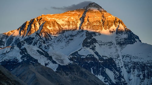
Everest Season Kicks Off with New Rules, Big Crowds, and Poop Bags
The number of climbing permits issued by Nepal is down from 2023 as some expeditions have headed to China. But there’s bound to be drama on the world’s highest peak as climbers adjust to new regulations governing pollution and safety.
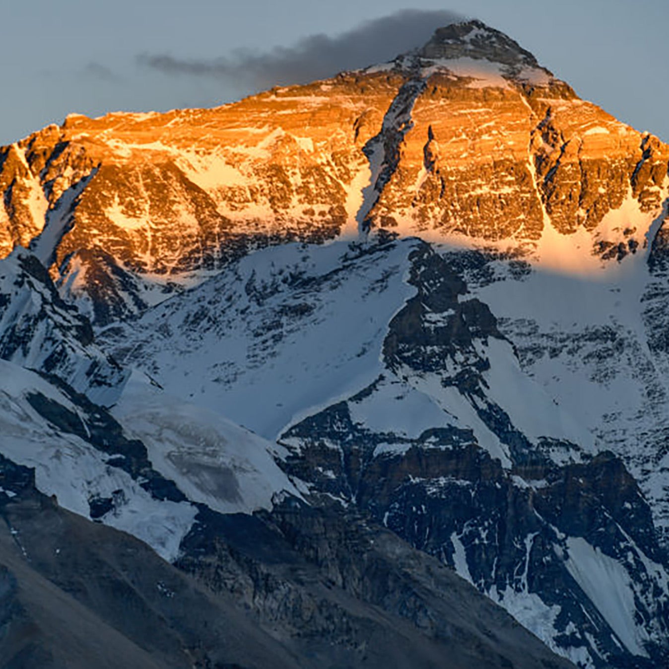
Heading out the door? Read this article on the Outside app available now on iOS devices for members! >","name":"in-content-cta","type":"link"}}'>Download the app .
The 2024 climbing season on Mount Everest is in full swing this week as some expedition teams are arriving at Base Camp and others have begun acclimatization rotations on the peak. As Outside recently reported, the official start on the mountain’s Nepali side is delayed this year due to dangerous conditions in the Khumbu Icefall . The circuitous route through the glacier that precedes the easier climbing up to Camp I and Camp II is longer than the one used in previous years, due to an unusually dry winter and a lack of snowfall.
The scheduling delay and new route aren’t the only dynamics impacting expeditions on the world’s highest peak this year. Competition from China has drawn some climbing teams away from the southern Base Camp in Nepal. And new rules and regulations imposed by the Nepali government will shift how some teams handle safety, decorum in Base Camp, and even poop .
Climbers may encounter slightly fewer of their peers along the route to the top, as recent statements from officials in Nepal hint at a smaller crowd than in recent years. According to Rakesh Gurung, Director of Nepal’s department of tourism, the country expects to issue approximately 400 climbing permits for the season—down from the record-breaking 478 last year. As of April 22, 365 permits had been granted to 34 different expedition teams. Permits for three additional teams are still being processed, Gurung said.
“Climbing permits are down across all the peaks,” Gurung said. “One reason is the global economic situation, and another is that China is open for Everest permits this year.”
China Attracts Summit Seekers
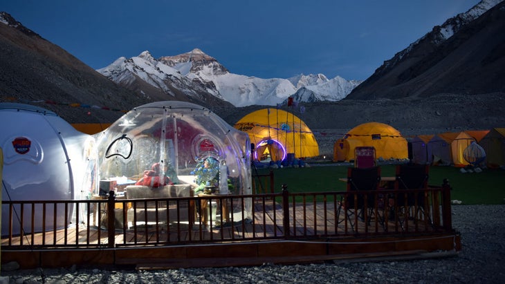
Indeed, China has once again opened its borders to Everest climbers in 2024 following a four-year closure due to Covid. Unlike the Nepali Base Camp, the Chinese Base Camp can be accessed by car, making the transport there much easier. Some expedition operators prefer to climb from the Chinese side, claiming that Everest’s Northeast ridge is less vulnerable to avalanches and rockfall than the southern flank. The smaller crowds on the Chinese side present another advantage.
But there’s a drawback in climbing from China—currently, the government has yet to issue the final permits to Everest expeditions, or even allow climbers into the country. Just this week officials told expedition operators that they would be allowed to enter the country on May 7—significantly later than originally planned.
“Thankfully the north side doesn’t have the same end-of-season issues that the south side does,” Adrian Ballinger , CEO of Alpenglow Expeditions, told Outside . “Tibet is in the rain shadow of Everest and the monsoon is generally much later. It’s not our ideal, but everyone is doing their best and that’s our plan.”
The Everest delay is just one curveball facing climbers in China. The country recently canceled all climbing on 26,335-foot Shishapangma and 26,864-foot Cho Oyu.
The uncertainty prompted Seven Summits Treks, Nepal’s largest Everest operator, to cancel its Chinese Everest expedition altogether, moving all eight of its clients to climb in Nepal. “We have had clients waiting here [in Kathmandu] for 15 days, and our Shishapangma clients have been waiting since April 5th,” said Thaneswhar Guragai, the company’s general manager.
The cancellation of permits on Cho Oyu and Shishapangma presents a significant setback for climbers hoping to complete all 14 peaks above 8,000 meters this year, and two well-publicized expeditions hoping to retrieve the bodies of four victims of an avalanche last October . The deceased are American climbers Anna Gutu and Gina Marie Rzucidlo, along with their guides Mingmar Sherpa and Tenjen ‘Lama’ Sherpa. Two months before the avalanche, ‘Lama’ earned the speed record for climbing all 14 8,000-meter peaks in 92 days, along with Norwegian climber Kristin Harila.
New Rules in Nepal
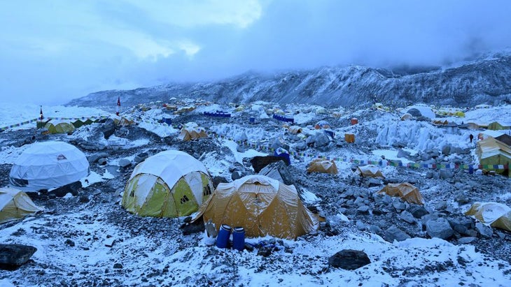
A record number of Everest fatalities in 2023, combined with the mounting pollution on the peak, prompted Nepali officials to enact new regulations governing expeditions . The regulations oversee a wide swath of operations, from climber safety to the size of tents allowed in Base Camp. The most cumbersome rule may be the new mandate that all climbers must carry their human waste down off the mountain in biodegradable bags and deposit it at a collection center at Base Camp.
The local government body that oversees the Everest region, the Khumbu Pasang Lhamu Rural Municipality, is responsible for this program. According to Jagat Prasad Bhusal, the organization’s chief administrative officer, officials are still debating what, exactly, to do with all of that poop.
“We are currently exploring options for handling the feces. If feasible, we will either convert it into manure or dispose of it safely near Tengboche or Pangboche in Upper Khumbu,” he said.
Expedition operators who spoke to Outside expressed positive sentiment toward the poop rule, despite the logistical challenges it presents. “This will be beneficial in the future because the whole world is looking towards sustainability. A small contribution to help the mountain is never a bad idea.” Guragai said.
Another new rule requires climbers to wear RECCO-style tracking reflectors during their climbs. In theory, this technology allows rescuers to find lost climbers by using a specialized transponder that tracks the reflectors. But there are doubts this will work in Everest’s extreme altitude and vast terrain. “We don’t know how well it will work,” Gurung told Outside “But let’s try.”
Gurung said Nepali officials are planning to make GPS tracking mandatory in future seasons. The devices will improve safety, he said. “This will also reduce false summits,” Gurung added.
To enforce these new rules, Nepal’s department of tourism has opened a field office at Base Camp. Officials stationed there will make sure expeditions follow the regulations, and they will also teach climbers lessons on mountain safety and “expedition ethics,” Gurung said.
“The rules and regulations are one thing. But people have to be aware of their own abilities, too,” Gurung said. “If something happens at 8,000 meters, a rescue is basically impossible. If expedition ethics are followed in these situations, the number of casualties will be reduced greatly.”
Despite the new regulations and the slight downturn in climbing permits, officials still expect the route to become crowded. Advanced weather forecasting means most expedition operators head onto the peak at the same time to take advantage of clear skies. And many expedition operators send as many, or more, guides onto the peak as paying clients.
An estimated 1,500 porters, guides, and Sherpas will be working above Base Camp to build camps and ferry gear, and the total number of climbers heading for the summit from both sides is likely to surpass 700, officials said.
Gurung told Outside that officials will examine the 2024 season to see if the government should make additional changes for the future. “There are many issues—do we only want to make Everest cheaper? Should it be accessible to everyone or not? Gurung said. “We’ve discussed these things many times. Let’s see what the future brings.”
Record Chasers and Adrenaline Junkies Return
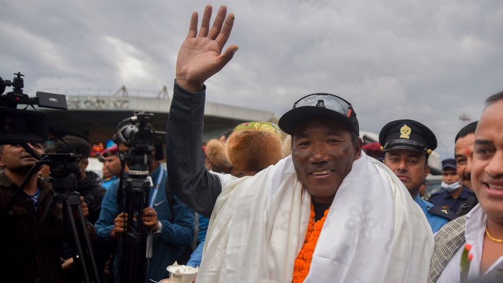
As is often the case, a handful of record-chasing climbers will attempt to make history on the world’s highest peak in 2024. One climber, 59 year-old Russian alpinist and mountain guide Valeriy Babanov, is attempting to become the oldest person to reach the top of the world without supplemental oxygen. Babanov is a two-time winner of the coveted Piolet d’Or award for first ascents in India and Nepal including a solo ascent of the Shark Fin on India’s famed Meru Central peak (6,310 m). “I’ve been preparing for this all my life,” he wrote on Instagram.
Two Nepali women are seeking their own records: Purnima Shrestha is hoping to become the first woman to summit three times in a single season, and Phunjo Lama is attempting to reclaim her record for the fastest ascent by a woman. Both women face major challenges with their respective efforts due to the 2024 route through the Khumbu Icefall, which adds approximately two hours to the total ascent compared to 2023.
Everest legend Kami Rita Sherpa , 54, will attempt to complete his 29th Everest summit, breaking his own world record, set after two back-to-back ascents last year. If successful, this would also mark his 43rd trip to the summit of an 8,000-meter peak.
A top international BASE jumper named Tim Howell is also targeting a record: the highest wingsuit jump in history. Howell plans to ascend from Base Camp to the southern face of 27,940-foot Lhotse, which is located next to Everest. He plans to then jump from just below the summit—the sheer face makes it perhaps the highest spot on the globe where a wingsuit jump can be accomplished. “I like the idea that this can’t be beaten.” Howell told Outside .
“It’s the highest wingsuit jump in the world.” Howell expects to reach speeds of 160 mph on his descent, dropping over 16,000 feet in under five minutes.
Could such a jump ever be done from the summit of Everest? It’s not impossible, Howell told Outside . “Maybe with the advancement in suits, somebody who is willing to risk it all maybe could do it one day,” he said.
Tulsi Rauniyar contributed to this report.
- Mount Everest
Popular on Outside Online

Enjoy coverage of racing, history, food, culture, travel, and tech with access to unlimited digital content from Outside Network's iconic brands.
Healthy Living
- Clean Eating
- Vegetarian Times
- Yoga Journal
- Fly Fishing Film Tour
- National Park Trips
- Warren Miller
- Fastest Known Time
- Trail Runner
- Women's Running
- Bicycle Retailer & Industry News
- FinisherPix
- Outside Events Cycling Series
- Outside Shop
© 2024 Outside Interactive, Inc

100 years after disappearing on Everest, climber's letters home tell poignant, personal story
D igitalized letters from Mount Everest mountaineer George Mallory revealed a conversation with his wife Ruth as he tried to become the first to climb one of the tallest mountains in the world in 1924.
Mallory, an English mountaineer, was on his third attempt to climb Mount Everest in 1924 when his odds of reaching the peak became slim.
Archived online by Magdalene College, the 842 handwritten letters take the readers on a journey with Mallory and shows the challenges the climber faced as he was battered by high winds and cold weather during his ascent.
Start the day smarter. Get all the news you need in your inbox each morning.
In a final letter to his wife dated May 27,1924 , Mallory gets candid about his time on the mountain:
"Dear girl, this has been a bad time altogether," Mallory wrote. "I look back at the tremendous effort and exhaustion and dismal looking out of a tent, door onto a world of snow and vanishing hopes — and get, and get, and get there have been a good many things to set on the other side."
Mallory's Everest attempts began in 1921
In September 1921, Mallory took his first trip to Mount Everest. With his friend from school, Guy Bullock, Mallory set out to climb the mountain, but high winds stopped their journey at a valley called North Col, Britannica said. In the 1924 letter, Mallory expressed excitement after passing through the same area that gave him trouble in the past.
"The first visit to the North Col was a triumph for the old gang," Mallory wrote. "I enjoyed the conquest of the ice wall and crack the crux of the route, and making the steps too in the steep final 200 ft. Odell did very useful work leading the way from the camp to the Col."
After writing five pages on his climb, Mallory suddenly stopped writing.
"The candle is burning out and I must stop," Mallory wrote to his wife.
Mallory ended the letter detailing his third attempt at Everest with an effort to ease his wife's worries and to bolster her hopes that he would make it to the summit.
"Darling I wish you the best I can — that your anxiety will be at an end before you get this — with the best news which will also be the quickest," Mallory wrote. "It is 50 to 1 against us."
Unknown sailor's notebook: Found hidden in furniture tells story of USS Amesbury's WWII journey
Who is George Mallory?
Born on June 18, 1886, George Mallory exhibited an interest in mountain climbing from a young age. While completing his studies at Winchester College, Mallory was recruited by one of his teachers to climb the Alps, the highest and most extensive mountain range in Europe. Other climbers said that Mallory's ability to tackle difficult routes and use his "catlike" climbing skills were unmatched, Britannica said.
Putting his mountain adventures on the back burner, Mallory was deployed to France to serve in World War I. After the war, Mallory turned to teaching, but climbing never left his mind. Mallory joined the Alpine Club and became one of the lead climbers as the group prepared for their first trip to Mount Everest in 1921, the encyclopedia said.
The date when Mallory began his third and final attempt to scale Everest is unclear, but he signed a "Mount Everest Expedition Agreement" on Feb. 13, 1924.
The final letter to his wife was dated a little more than three months later, on May 27, 1924.
It would be another 75 years before Mallory's body was discovered on Mount Everest , on May 4, 1999, the BBC News reported.
Mallory's body was identified by his name tag that was still on him. Mallory's climbing partner and friend, Andrew Irvine, has not been found, the report said.
Trains Moscow to Elektrostal: Times, Prices and Tickets
- Train Times
- Seasonality
- Accommodations
Moscow to Elektrostal by train
The journey from Moscow to Elektrostal by train is 32.44 mi and takes 2 hr 7 min. There are 71 connections per day, with the first departure at 12:15 AM and the last at 11:46 PM. It is possible to travel from Moscow to Elektrostal by train for as little as or as much as . The best price for this journey is .
Get from Moscow to Elektrostal with Virail
Virail's search tool will provide you with the options you need when you want to go from Moscow to Elektrostal. All you need to do is enter the dates of your planned journey, and let us take care of everything else. Our engine does the hard work, searching through thousands of routes offered by our trusted travel partners to show you options for traveling by train, bus, plane, or carpool. You can filter the results to suit your needs. There are a number of filtering options, including price, one-way or round trip, departure or arrival time, duration of journey, or number of connections. Soon you'll find the best choice for your journey. When you're ready, Virail will transfer you to the provider's website to complete the booking. No matter where you're going, get there with Virail.
How can I find the cheapest train tickets to get from Moscow to Elektrostal?
Prices will vary when you travel from Moscow to Elektrostal. On average, though, you'll pay about for a train ticket. You can find train tickets for prices as low as , but it may require some flexibility with your travel plans. If you're looking for a low price, you may need to prepare to spend more time in transit. You can also often find cheaper train tickets at particular times of day, or on certain days of the week. Of course, ticket prices often change during the year, too; expect to pay more in peak season. For the lowest prices, it's usually best to make your reservation in advance. Be careful, though, as many providers do not offer refunds or exchanges on their cheapest train tickets. Unfortunately, no price was found for your trip from Moscow to Elektrostal. Selecting a new departure or arrival city, without dramatically changing your itinerary could help you find price results. Prices will vary when you travel from Moscow to Elektrostal. On average, though, you'll pay about for a train ticket. If you're looking for a low price, you may need to prepare to spend more time in transit. You can also often find cheaper train tickets at particular times of day, or on certain days of the week. Of course, ticket prices often change during the year, too; expect to pay more in peak season. For the lowest prices, it's usually best to make your reservation in advance. Be careful, though, as many providers do not offer refunds or exchanges on their cheapest train tickets.
How long does it take to get from Moscow to Elektrostal by train?
The journey between Moscow and Elektrostal by train is approximately 32.44 mi. It will take you more or less 2 hr 7 min to complete this journey. This average figure does not take into account any delays that might arise on your route in exceptional circumstances. If you are planning to make a connection or operating on a tight schedule, give yourself plenty of time. The distance between Moscow and Elektrostal is around 32.44 mi. Depending on the exact route and provider you travel with, your journey time can vary. On average, this journey will take approximately 2 hr 7 min. However, the fastest routes between Moscow and Elektrostal take 1 hr 3 min. If a fast journey is a priority for you when traveling, look out for express services that may get you there faster. Some flexibility may be necessary when booking. Often, these services only leave at particular times of day - or even on certain days of the week. You may also find a faster journey by taking an indirect route and connecting in another station along the way.
How many journeys from Moscow to Elektrostal are there every day?
On average, there are 71 daily departures from Moscow to Elektrostal. However, there may be more or less on different days. Providers' timetables can change on certain days of the week or public holidays, and many also vary at particular times of year. Some providers change their schedules during the summer season, for example. At very busy times, there may be up to departures each day. The providers that travel along this route include , and each operates according to their own specific schedules. As a traveler, you may prefer a direct journey, or you may not mind making changes and connections. If you have heavy suitcases, a direct journey could be best; otherwise, you might be able to save money and enjoy more flexibility by making a change along the way. Every day, there are an average of 18 departures from Moscow which travel directly to Elektrostal. There are 53 journeys with one change or more. Unfortunately, no connection was found for your trip from Moscow to Elektrostal. Selecting a new departure or arrival city, without dramatically changing your itinerary could help you find connections.
Book in advance and save
If you're looking for the best deal for your trip from Moscow to Elektrostal, booking train tickets in advance is a great way to save money, but keep in mind that advance tickets are usually not available until 3 months before your travel date.
Stay flexible with your travel time and explore off-peak journeys
Planning your trips around off-peak travel times not only means that you'll be able to avoid the crowds, but can also end up saving you money. Being flexible with your schedule and considering alternative routes or times will significantly impact the amount of money you spend on getting from Moscow to Elektrostal.
Always check special offers
Checking on the latest deals can help save a lot of money, making it worth taking the time to browse and compare prices. So make sure you get the best deal on your ticket and take advantage of special fares for children, youth and seniors as well as discounts for groups.
Unlock the potential of slower trains or connecting trains
If you're planning a trip with some flexible time, why not opt for the scenic route? Taking slower trains or connecting trains that make more stops may save you money on your ticket – definitely worth considering if it fits in your schedule.
Best time to book cheap train tickets from Moscow to Elektrostal
The cheapest Moscow - Elektrostal train tickets can be found for as low as $35.01 if you’re lucky, or $54.00 on average. The most expensive ticket can cost as much as $77.49.
Find the best day to travel to Elektrostal by train
When travelling to Elektrostal by train, if you want to avoid crowds you can check how frequently our customers are travelling in the next 30-days using the graph below. On average, the peak hours to travel are between 6:30am and 9am in the morning, or between 4pm and 7pm in the evening. Please keep this in mind when travelling to your point of departure as you may need some extra time to arrive, particularly in big cities!
Moscow to Elektrostal CO2 Emissions by Train
Anything we can improve?
Frequently Asked Questions
Go local from moscow, trending routes, weekend getaways from moscow, international routes from moscow and nearby areas, other destinations from moscow, other popular routes.

IMAGES
VIDEO
COMMENTS
In some parts of the Everest base camp trek route, the trek is a steep climb to higher elevations. Our EBC trek was 120 km/75 mi, so you walk more or less 15km per day for about two weeks. It is not a flat walking surface and typical of treks in Nepal there is a lot of going up and down. The distance you cover does not require super fitness ...
1.1 Everest Base Camp Hike - 12 Days. 1.2 verest View Trek - Visit EBC and Gokyo Lakes by Helicopter - 5 Days. 1.3 Everest Base Camp Trek- 13 days. 1.4 Everest Base Camp Comfort Trek - 15 Days. 1.5 Shortest Everest Base Camp Trek - 9 Days. 1.6 Everest Base Camp Trek and Return by Helicopter - 9 Days.
The thing that makes the EBC trek tough is the altitude. Base Camp is at 5600m (18,373ft) and you will need to spend one or two nights above 5000m (16,404ft). Above 4000m (13,123ft) you are going to feel increasingly lethargic and out of breath as the amount of oxygen in the air decreases. Combine this with the cold, the discomfort of being at ...
The iconic Everest Base Camp Trek leads you through the Khumbu Valley, allowing you to experience the immense beauty of the surrounding Sagarmatha National Park while simultaneously providing breath-taking vistas of 4 of the 6 highest peaks in the world - My. Everest (8.848m), Mt. Lhotse (8,516 meters), Mt. Makalu (8,470 meters) and Cho Oyu (8,201 meters).
Classic Everest Base Camp trek. The classic Everest Base Camp trek takes about 14 days, including time in Kathmandu before and after. From Kathmandu, you'll fly into Lukla Airport (2,860m/9,383ft) with its famously short runway - try to sit on the left side of the plane so you can catch your first views of Mt. Everest.
The suggested Everest Base Camp trek itinerary to complete the route in 12 days. Day 1. Flight Kathmandu - Lukla. Walk Lukla (2800m) - Monjo (2800m) Kathmandu - Lukla - Chheplung - Ghat - Phakding - Bengkar - Monjo. A flight to Lukla is probably the most unpredictable part of the Everest Base Camp trek itinerary.
The Everest Base Camp Trek is one of the most popular and best treks in Nepal.. Home to four of the six highest mountains in the world - Mt. Everest (8,848 meters), Mt. Lhotse (8,516 meters), Mt. Makalu (8,470 meters) and Cho Oyu (8,201 meters) - the Everest (or Khumbu) region affords trekkers the opportunity to hike in one of the grandest and most awe-inspiring trekking areas in the world.
Like many treks in Nepal, the peak seasons for trekking the Everest Base Camp route are April to mid-May and October to mid-November. These months typically offer the best chance of both clear skies and warmer temperatures, although weather patterns are becoming increasingly unpredictable in Nepal and across the world, so you should still be ...
The Everest Base Camp Trek is a renowned trekking route in the Everest region of Nepal, leading trekkers to the base camp of Mount Everest. It offers stunning views of the Himalayan peaks and provides an opportunity to experience the Sherpa culture.
The main route shown as per the Everest Base Camp Trek Map is the classical Everest Base Camp Trek route. The trek starts from a flight from Kathmandu to Lukla and ends the day at Phakding. Phakding to Namche: Rest one day for acclimatizing . Distance: 7.4 km | Max altitude: 3440 m | Estimated Trek hours: 6-7 hours
The trek from Namche Bazaar to Everest Base Camp is the route's longest and most challenging section. It takes about 10-12 days to complete and covers a distance of around 65 kilometres. Along the way, you'll pass through various landscapes, from lush forests to high-altitude deserts. You'll also pass through several small mountain villages ...
The Everest Base Camp trek is an incredible trek in the Everest region of Nepal. This spectacular trek is one of the most popular trekking routes in the world. The trails of the Everest Base Camp pass through the majestic foothills of the highest mountain in the world, Mt. Everest (8848m). This accurate Everest Base Camp trek map is an essential piece of information for Everest region treks.
The Everest Base Camp trek (also known as the EBC trek), is an 11 day out and back route that makes its way through Sagarmatha National Park of the Himalayas, where you will experience first-hand some of the best trekking that the world has to offer.
See Qomolangma for routes to the Tibetan Everest Base Camp on the north side. Mount Everest (centre left) from KalaPatthar with the Khumbu glacier below it and base camp just below that. Everest Base Camp Trek is a famous challenging trek in Khumbu, Nepal.. For information on preparing for this trek, including when to go, what to bring, what permits are required, and safety precautions ...
2 Highlights of EBC Trek. 3 Everest Base Camp Trek Overview. 4 Everest Base Camp Trek Route Map. 5 Detailed itinerary of EBC Trek. 5.1 Day 01 Arrival in Kathmandu (1350m/4429feet) 5.2 Day 02 Fly to Lukla (2880m/9448feet), then trek to Phakding (2610m/8563feet) 5.3 Day 03 Trek to Namche Bazaar (3440m/11286feet) 5.4 Day 04 Acclimatization day in ...
Along your trek, you will get to witness 4 of the 6 highest mountain peaks in the world — Cho Oyu (8,201 m), Mt. Makalu (8,470 m), Mt. Lhotse (8,516 m), and Mt. Everest (8,848 m). Everest Base Camp is a teahouse trek, which means you will stay at some of the highest villages in the world and get a close look at their cultures and traditions ...
The Jiri to Everest Base Camp Trek could be considered the 'purest' and most authentic trek in the region as it follows the same trails that the early pioneers in the 1950s would have used. Instead of taking the short flight from Kathmandu to Lukla, the Jiri variation starts with a 7-hour long bus ride to the town of Jiri where the trek begins.
The two main climbing routes on Mt. Everest. The South Col Route of Everest. Teams start in Kathmandu and fly into Nepal's Khumbu Valley, where they trek to South Side Base Camp of Everest (17,300'/5,273m) over a number of days to acclimatize.
EVEREST THREE PASSES TREK ITINERARY. We have outlined below what we feel is an ideal itinerary for the Everest Three Passes trekking route. This is a 19 day itinerary which includes flying to and from Lukla. We have noted the trekking distance and an approximate trekking time for each day (excluding lunch stops, breaks, etc), as well as stats ...
Everest Season Kicks Off with New Rules, Big Crowds, and Poop Bags. The number of climbing permits issued by Nepal is down from 2023 as some expeditions have headed to China. But there's bound ...
Mallory's body was discovered on Mount Everest. , on May 4, 1999, the BBC News reported. Mallory's body was identified by his name tag that was still on him. Mallory's climbing partner and friend ...
In 1938, it was granted town status. [citation needed]Administrative and municipal status. Within the framework of administrative divisions, it is incorporated as Elektrostal City Under Oblast Jurisdiction—an administrative unit with the status equal to that of the districts. As a municipal division, Elektrostal City Under Oblast Jurisdiction is incorporated as Elektrostal Urban Okrug.
Elektrostal. Elektrostal ( Russian: Электроста́ль) is a city in Moscow Oblast, Russia. It is 58 kilometers (36 mi) east of Moscow. As of 2010, 155,196 people lived there.
The journey from Moscow to Elektrostal by train is 32.44 mi and takes 2 hr 7 min. There are 71 connections per day, with the first departure at 12:15 AM and the last at 11:46 PM. It is possible to travel from Moscow to Elektrostal by train for as little as or as much as . The best price for this journey is . Journey Duration.