- That is Zugspitze
- Erstbesteigung
- Panoramic views
- Impressions
- The Snow Crystal
- Panorama Peak Restaurant
- Visit with children
- Back to the valley station
- Gatterl-Tour
- Fixed-rope route
- Hiking destinations

Please note
- Event-calendar
- Fondue-evening
- Gatterlmesse
- Lifts & pists
- Top Snow Card
- Ski school & Ski rental
- Ehrwald hoch 2
- Active Card Z-Ticket
- Snow Card Tirol
- Peak visit 2024-25
- Group information
- Group reservation
- Opening hours
- Current news
- Getting here & Parking
- Accessibility
- Audio guide
- Contact form
- Online tickets / ski passes
- Event booking
- Gift vouchers
- Our cable car family
- Data Privacy Statement
- Technical Data
- Environment
- Summer Railways
- Prices & Times
Gatterl Tour
Route .
There are 2 routes down to the Sonnalpin, you can either take the Bavarian Glacier cable car or you can climb down via the schneefernerhaus. The tour continues over the Zugspitz plateau to the Knorr Hut, then via the Plattensteig to the gatterl. From there you hike over the feldernjöchl to the brandjoch, past the Hochfeldernalm and the Pestkspelle and down to the mountain station of the Ehrwalder Alm cable car. From there you can take the Ehrwalder Alm cable car back down the valley if you wish as the tour to that point takes approx. 5 hours.
The tour can also be undertaken in reverse, starting in the Ehrwalder Alm and finishing at the Tiroler Zugspitz cable car.
Hiking-Ticket "Gatterl"
Which includes the following:
- 1x Ride up with the Tiroler Zugspitzbahn
- 1x Entry to the „Faszination Zugspitze“ interactive museum
- 1x Ride down to the Glacier with the Bavarian Glacier cable car
- Independant hike across the „Gatterl“ to the mountain station of the Ehrwalder Alm cable car (approx. 5 hours)
- 1x Ride back to Ehrwald with the Ehrwalder Alm cable car
- 1x Bus ride back to the valley station of the Tiroler Zugspitzbahn. Timetable can be found here !
- 1x Entry to the " BAHN ORAMA anno 1926" at the valley station
Please note the operating times of the individual cable cars!
This is a high mountain terrain tour and is recommended only for experienced climbers. You must be sure footed, have a good head for heights and be physically fit, good climbing equipment is also essential.
Difficulty gradings and walking times are for guidance only. For details of all these tours please check relevant maps and mountain guides.
Important notice
Hiking ticket "Gatterl"
Guests who would like to take part in a guided hiking tour please contact the local mountain sports schools and mountain guides in Ehrwald, Lermoos & Biberwier
Tiroler Zugspitzbahn
6632 Ehrwald, Österreich
+43 5673 2309
- Data privacy
- Legal notice
- Travel tips
- Photography
- Mediakit & Collaboration
- In the media
- Press releases
Zugspitze: Hike over the Gatterl – the route for beginners
On the Zugspitze lead a total of five paths. The hike over the Gatterl and via the Knorrhütte is long and sweaty, but comparatively easy. The Gatterl tour is conditionally strenuous, but does not necessarily require high-alpine experience. Endurance, sure-footedness, head for heights, good preparation and equipment are, however, also necessary on this hike. Thanks to two mountain railroads, even less experienced hikers can venture the Gatterl tour to the Zugspitze. By the way, here you will find all hiking tours that lead to the Zugspitze.
Hi! Wir sind Biggi & Flo
Wir nehmen dich als Reisejournalisten mit zu den schönsten Orten der Welt! Werbehinweis: Alle mit einem * markierten Links sind Werbelinks.
Video: Hike over the Gatterl to the Zugspitze
Starting the hike at the Ehrwalder Alm
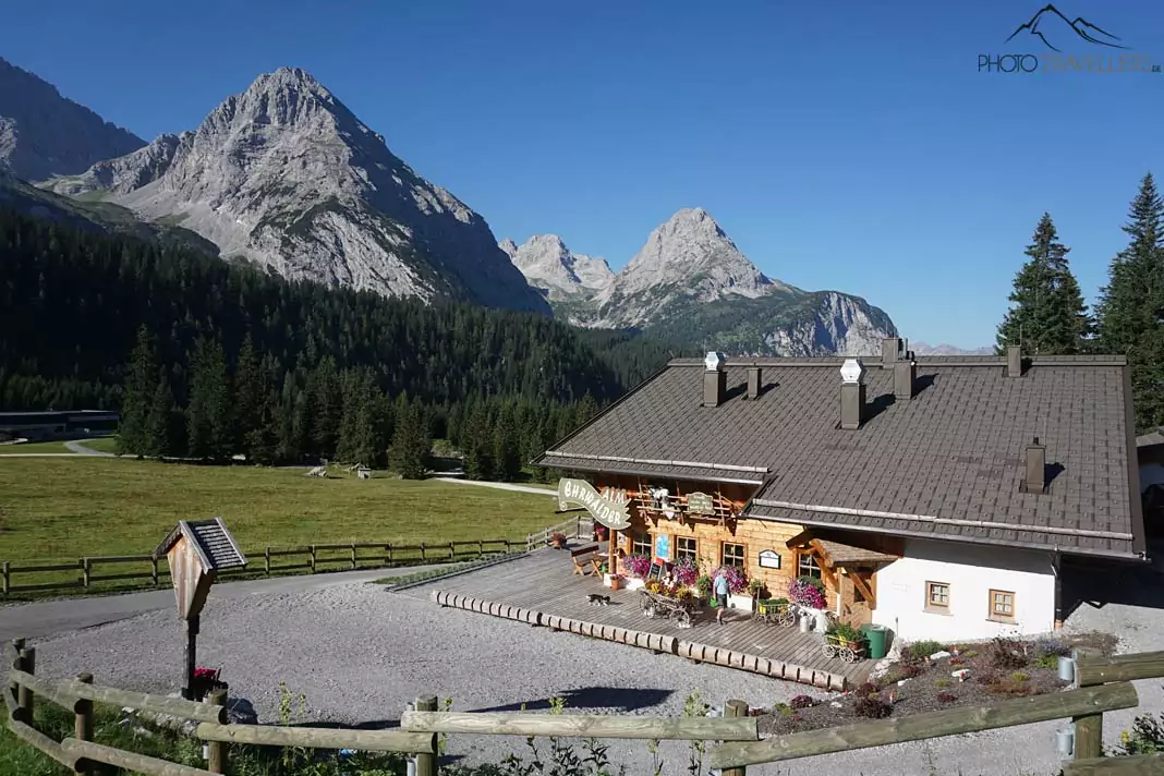
We’re leaving from Munich at dawn. Our destination is Ehrwald in Tyrol . We shorten the hike up to the Zugspize a bit by taking the cable car Ehrwalder Almbahn. We’re planning to bivouac at the peak of the Zugspitze tonight, so we’re not only carrying our supplies for the day but also a sleeping bag, camping mat and thick clothes.
The Ehrwalder Almbahn takes us and our heavy backpacks to 1500 metres within a couple of minutes, covering an elevation gain of 500 metres. From here, the peak of the Zugspitze is only 1462 metres above us.
We take one of the first cars and enjoy the beautiful view of the surrounding mountains. But once we arrive at the Ehrwalder Alm, the hard part begins. With the heavy backpacks on our shoulders, we hit the trail in the direction of the Gatterl. We follow the routeway from the Ehrwalder Alm.
Tour dates Zugspitze
Tour data (only ascent) from valley station ehrwalder almbahn.
15,5 kilometer
8 bis 10 hours
Breathtaking mountain panorama
We have a clear view of the Ehrwalder Sonnenspitze, the Tajakopf and the Drachenkopf . The gravelly road now steepens and we’re gaining height rather quickly. There’s not a single cloud in the sky and the sun is burning. We aren’t the only ones on the trail. Minute by minute, hikers come our way and we keep on passing larger groups on their way to the Zugspitze.
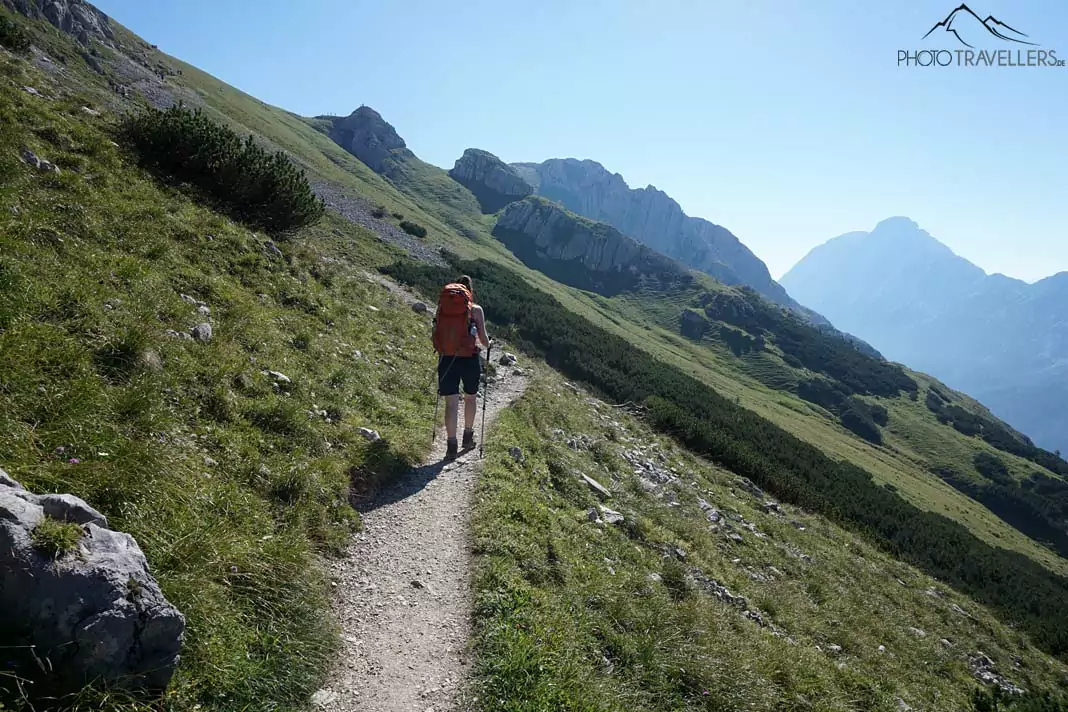
If you’re looking for solitude, the Zugspitze is definitely not the place to be, especially on weekends when the weather is as good as it is today. You could of course start in the middle of the night – the trail will be practically deserted early in the morning.
The trail now leads us past a gently descending mountain slope covered in grass. The mountain pines have long disappeared and we can enjoy the view. After one and a half hours, we reach a small plateau with a little rock pinnacle, where many hikers are already resting. It’s worth climbing the small peak, because the view of Ehrwald and the Gaistal valley is impressive. But we won’t stay for long. After all, we’ve got a long way ahead of us.
The Gatterl
We now descend again for a bit. The trail is clearly visible here and leads us straight to the Gatterl in about an hour. An old squeaking gate marks the frontier between Austria and Germany , but you won’t find any frontier posts. The Gatterl is a popular photo subject and we obviously make a short stop here, too.
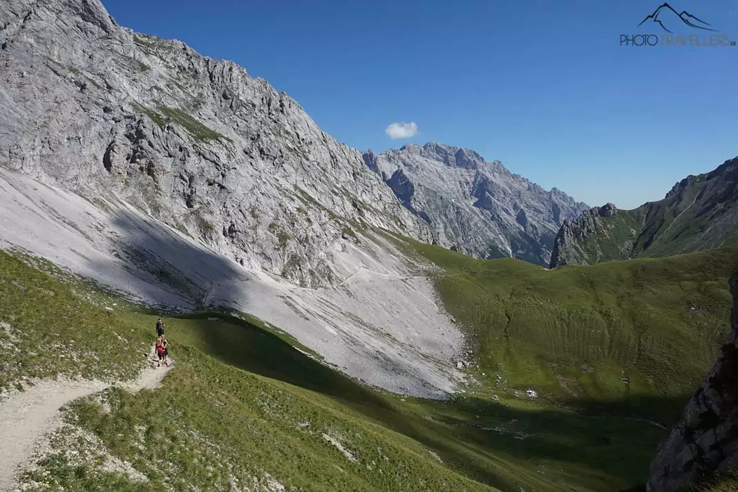
In front of us, there’s the Zugspitzplatt – a huge sea of rocks surrounded by massive peaks. The next part of the trail called Plattsteig is a bit rougher than before. Again and again, we have to jump over rocky steps. Some hikers here are seriously struggling with this, but if you’re a regular mountaineer you shouldn’t have too much of a problem.
The Knorr Hut
In the distance, we can already make out our next intermediate stop: the Knorr Hut . It will take us about another hour to reach it from the Gatterl. In the meantime, we enjoy the breathtaking 360-degree view of the Zugspitze and other peaks like the Schneefernerkopf, the Zugspitzeck and the Wetterspitzen.
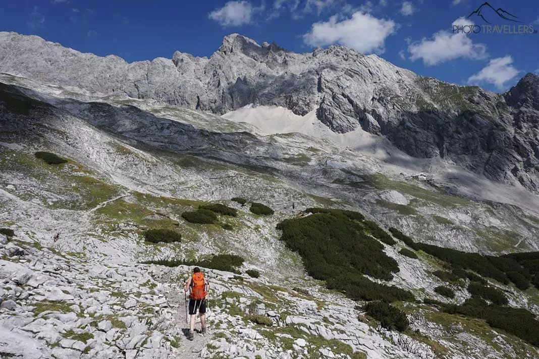
The Knorr Hut is jam-packed, as we expected. We find ourselves a table in the small beer garden on the sun terrace and order something to drink. The selection up here is pretty limited, but it’s more about getting enough water anyway. The trail up to the Knorr Hut really made us sweat. We refill our water bottles and continue in the direction of the Zugspitze.
On our way to the peak
The trail gets even steeper now ant the slippery gravel doesn’t really make it any better. I can already feel the height, or at least I think I can. The reward for our travails is a breathtaking view over the Zugspitzplatt and the surrounding peaks. Directly in front of us, for example, there’s the Schneefernerkopf , which, with its 2875 metres, is not much smaller than the Zugspitze.
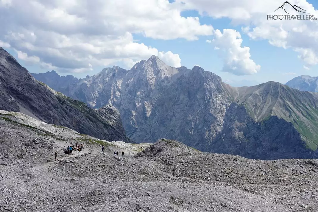
Here on the Zugspitzplatt, there’s even some snow left, but it’s far too little to hinder us from moving forward. It does, however, provide an excellent opportunity for a snowball fight, that especially some younger hikers don’t hesitate to embrace.
The final ascent to the Zugspitze
The trail over the Zugspitzplatt leads us steadily to the top. By now, our legs are burning and our shoulders are tired from the weight of the backpacks. Finally, after about one and a half hours, we reach the station at the bottom of the glacier cable car and the Sonnalpin house.
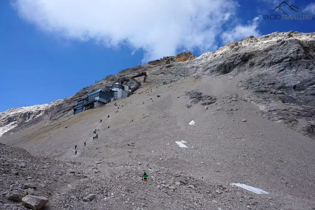
Now it’s time for the final ascent. The mountaineers resemble a bunch of ants while they struggle to climb the steep scree slope. Passing the Schneefernerhaus , it’s another 400 metres in height that we have to conquer. We watch the others for a while and try to make out the best route through the scree field. We come to the conclusion that the lesser used alternative on the right is the better option.
Ascending through the scree field
We take a final bite of our energy bar, adjust our backpack and set out for the final part of our hike. Even though the trail is steep and the ground is very slippery, we’re able to move forward surprisingly quickly. After only half an hour, we’ve crossed the scree field.
The view from up here of the Zugspitzplatt and the Schneeferner, or rather what’s left of the glacier, is breathtaking. However, we still haven’t reached the peak. Before we can enjoy the traditional snack at the summit, we have to master a via ferrata secured with steel ropes.
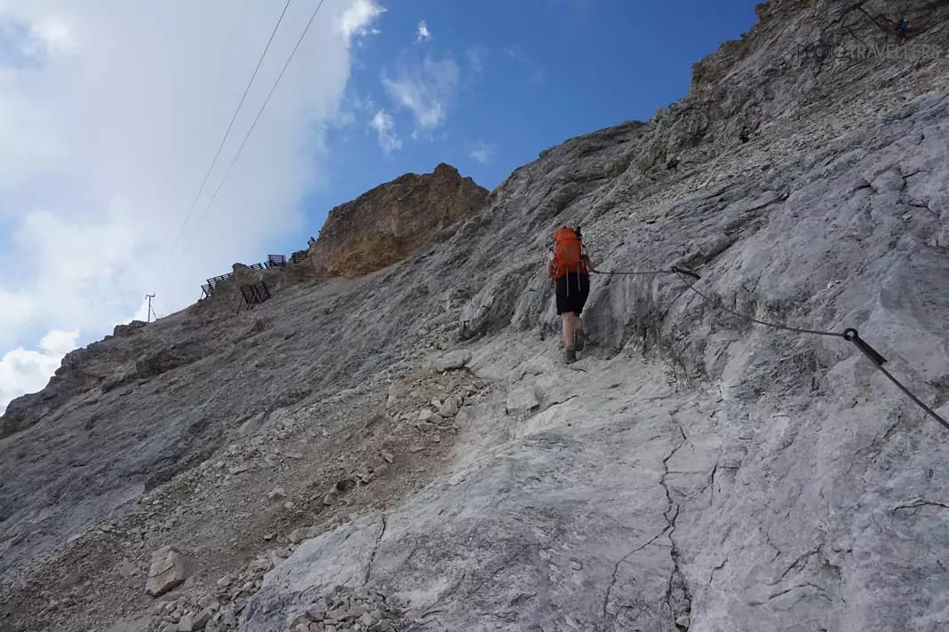
Again and again, we have to use our hands but it never gets too difficult. Nonetheless, after such a long hike, we have to be very focused – one false move can cost you dearly.
I’m very tired by now and need a little break every once in a while. After the steep final ascent my legs are burning and I’m breathing heavily. Biggi seems to handle it a bit better, but she’s also glad that we’ve almost made it. One last slope and we should be there. No, directly in front of us, another rock face appears. The peak of the Zugspitze doesn’t seem to come any closer. Time to grit our teeth again and keep on moving.
At the top of the Zugspitze
We’ve finally made it! We’re at the top of Germany’s highest mountain – or rather on the ugly platform that ruins this peak. Transmitter masts, three cable cars, restaurants, terraces, a meteorological station and the Münchner Haus have been built here over the years.
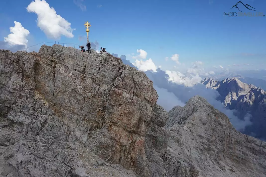
The cable cars start from Germany and Austria and take up to 4000 visitors a day to the peak. It’s not idyllic here, but we knew that beforehand – and right now, we don’t care at all. We take a pass on the small via ferrata to the summit cross, an area way too tiny for the dozens of people there.
Instead, we enter the fray, find ourselves a table in the beer garden and enjoy a cold shandy (which is called Radler, the German word for cyclist) and a piece of apple strudel. However, the prices up here are obviously quite high.
Finally, some quiet on the Zugspitze
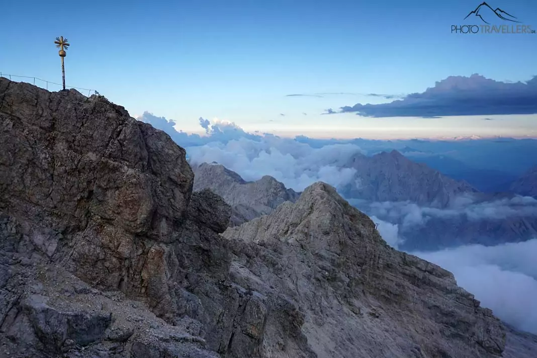
We can’t wait for the last car to make its way down to the valley. Then we finally have our peace up here. The Münchner Haus is still quite full, but no one is wearing sandals. Pretty much everyone here has mastered the ascent by their own efforts.
Meanwhile, there are some serious looking thunderclouds forming in the sky. Will this interfere with our plans to bivouac up here? Doesn’t matter, right now all we’re thinking about is a delicious dinner in the Münchner Haus. Dumplings, sauerkraut, and gravy – vegetarian style. It’s one of the best meals we’ve ever had. Maybe that’s due to the exhausting ascent, but we don’t really care right now. We’re still sitting in the restaurant of the Münchner Haus and can already guess by looking out the window that the sunset tonight will be absolutely phenomenal.
I can’t wait to get back outside and set up my camera. All around us, huge clouds are banking up and in the distance, we can already detect thunder and lightning. Let’s hope we’ll be spared! Above us, it doesn’t look too bad – high time to make our way to the peak. The via ferrata isn’t difficult and it takes us just a few minutes to reach the gilded summit cross of the Zugspitze.
Dramatic sunset on the Zugspitze
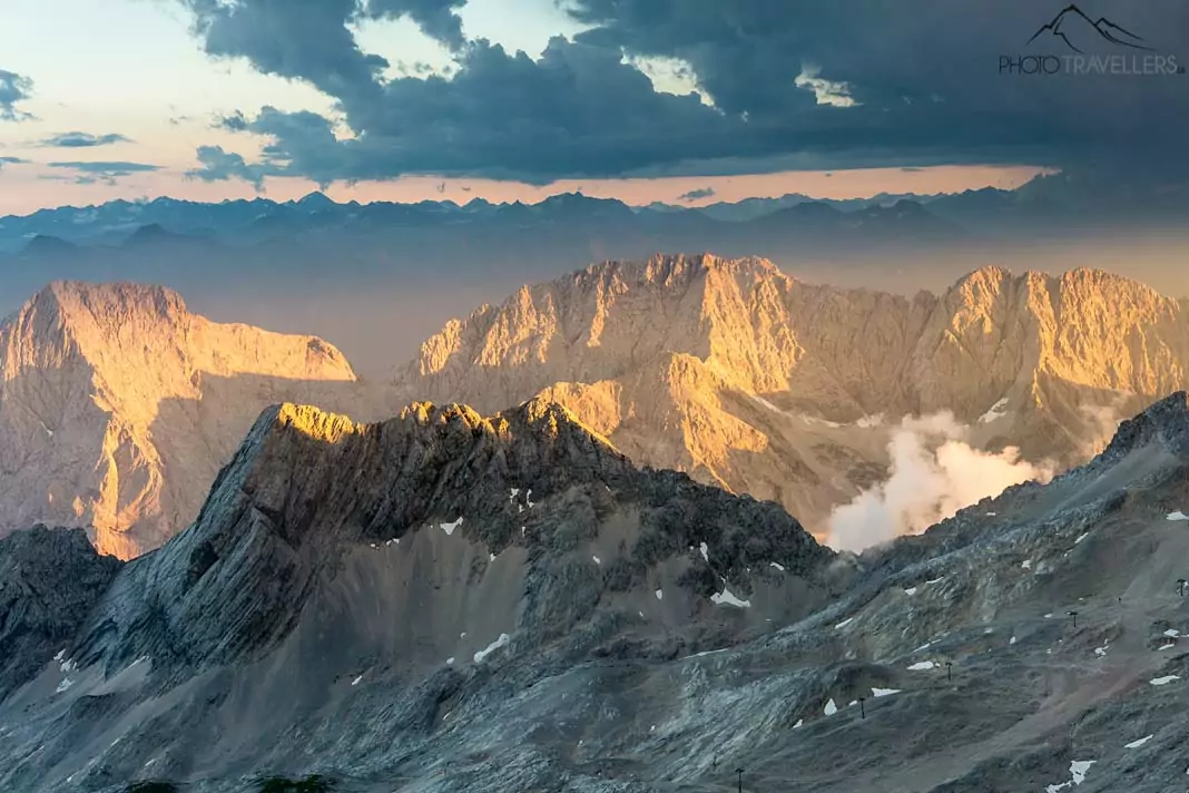
The sunset is just as breathtaking as we had expected. The sun peaks through the thick clouds again and again and turns the landscape into a sea of colours. Everybody’s overwhelmed and stunned by this rare spectacle of nature. But enough talking, just see for yourselves…
Bivouac on the Zugspitze
The Munich house is packed and there are also only emergency camps for six euros. But we want to bivouac outdoors anyway. Looking at the sky, we feel a bit queasy, but we set up our modest camp in a place somewhat protected from the wind. We are lucky – it drizzles only a little during the night, but we are spared a thunderstorm. Yes, we even have a great view of the starry sky at night – an unforgettable experience.
Sunrise by the summit cross
Long before the sun rises, we’re standing below the summit cross with a couple of other mountaineers. The start to this day is just as overwhelming as the end to the one before. Below us, clouds roll by while the sky is already illuminated in the most beautiful colours. But as the sun rises on the horizon, the landscape basically explodes. We’re standing at the top of the mountain and look towards the Jubiläumsgrat – behind it, the rising sun. An experience we will never forget.
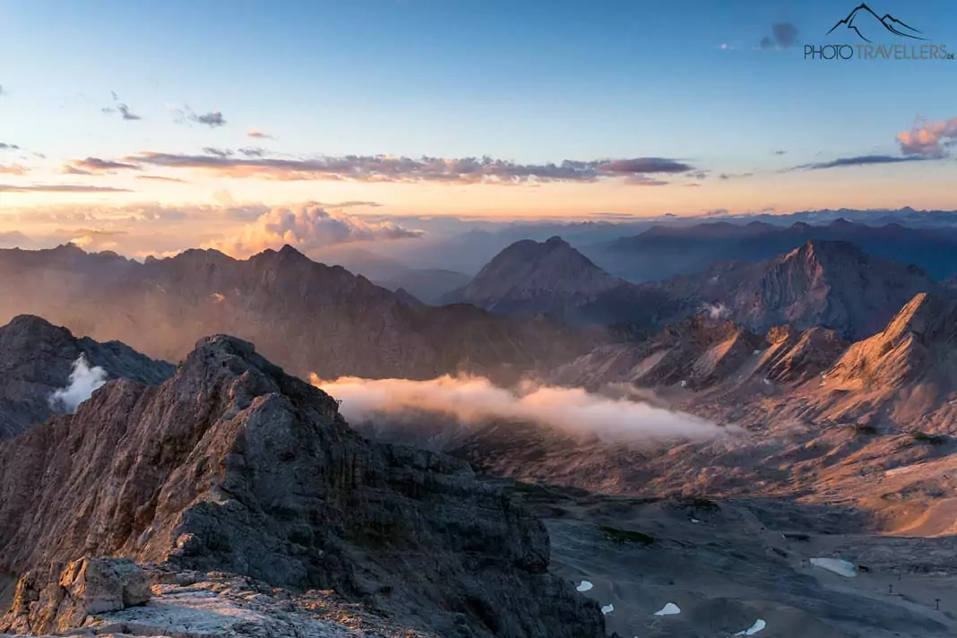
Descending from the Zugspitze
After witnessing this unique spectacle of nature, we treat ourselves to a hearty breakfast in the Münchner Haus. Farmhouse bread with butter and cheese – everything the heart desires. And before all the crowds arrive, we start our descent.
Instead of crossing the steep scree field about 400 metres down to the Zugspitzplatt on foot, we take the glacier cable car. The descent would have been no fun and we most certainly wouldn’t have enjoyed the hike. For seven euros, the cable car takes us down in two minutes. At such an early hour, there’s barely anyone here – a stark contrast to the day before.
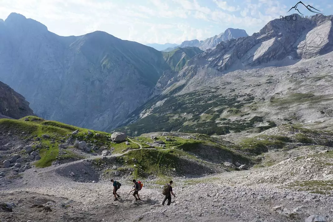
We make our way back in the direction of the Knorr Hut and enjoy the beautiful 360-dregree view. The trail is pretty steep and the gravel is a bit unpleasant, but it shouldn’t be too difficult for anyone. At the Knorr Hut, that’s already quite full again, we just fill up our water bottles before continuing our hike. In this direction, the route provides another scenic highlight.
Delicious apple strudel
Four hours later, we’ve arrived at the Ehrwalder Alm. We find ourselves a table in the sun-flooded beer garden with a view of the Ehrwalder Sonnenspitze, the Tajakopf and the Drachenkopf and treat ourselves to a delicious piece of apple strudel. In contrast to the restaurants on the Zugspitze, the size of the portions here is gigantic, while the prices are small and the taste is amazing.
If you don’t feel like hiking, you can just come to the Ehrwalder Alm for pure enjoyment. Unlike on our way up the mountain, we now descend to the parking site. After another four and a half hours, we’re back at the starting point of our Zugspitze tour.
What you should know about the Gatterl hike up to the Zugspitze
The Gatterl tour up to the Zugspitze is a real highlight in terms of scenery and technically not that difficult. Just at the Gatterl – the border crossing point between Austria and Germany, there’s a small part where you have to climb. If you don’t think you’re capable of mastering the final ascent through the steep scree field and the via ferrata to the peak of the Zugspitze, you can use the glacier cable car that covers an elevation gain of about 400 metres.
However, surefootedness and proper planning – that does include an obligatory (!) weather check – are prerequisites for this tour. You’ll be in the alpine mountains, so weather changes and drops in temperature can happen quickly and become pretty dangerous in such heights.
With regard to stamina, don’t underestimate the hike up to the Zugspitze. If you use the Ehrwalder Almbahn to the Ehrwalder Alm like we did, you still have to cover 13 kilometres and 1,570 metres in height. If you want to save the money for the Ehrwalder Almbahn, you have to leave very early and cover the 15.5 kilometres and 1,960 metres in height yourselves. For the way back, you might want to use the glacier cable car to the Zugspitzplatt. It costs only seven euros and saves you a pretty unpleasant and dangerous descent.
If you want to spend the night on the Zugspitze, you can do so at the Münchner Haus ( here’s the website ). On weeknights, you can reserve a bed, but that’s not possible on the weekend. There’s always a spot, though, but you might have to come to terms with sleeping on the floor. You can also bivouac on the Zugspitze, just ask the innkeeper at the Münchner Haus, where a good spot is. You should leave the bivouac spot as you found it, because otherwise they might stop people from bivouacking on the Zugspitze in the future.
The five most famous hikes up to the Zugspitze
One of the easiest and most popular hikes up to the Zugspitze is the tour via the Gatterl that we’ve described in this article. If you’re looking for a more relaxed or family-friendly hike, you can use the hiking ticket “Gatterl”. It includes the three cable car rides with the Ehrwalder Almbahn, the glacier cable car (Gletscherbahn) and the Tiroler Zugspitzbahn, as well as the bus ride back to the starting point of the hike.
The ticket can also be used in the opposite direction. Personally, though, we would prefer standing on top of a mountain at the end of the tour rather than the beginning. Plus, the ticket also includes the entry to the interactive museum “Faszination Zugspitze”.
With 21 kilometres, the hike via the Partnach Gorge and the Reintal up to the Zugspitze is the longest tour. Technically, it’s not difficult, but it does require a certain amount of stamina as you have to cover an elevation gain of more than 2200 metres. At the Knorr Hut, hikers on the Reintal tour will meet the hikers on the Gatterl tour.
Stopselzieher
The hike via the Wiener-Neustädter Hut and the via ferrata Stopselzieher is the shortest and fastest way to reach the Zugspitze peak on foot. However, you will have to cross some scree fields and the via ferrata. After about six kilometres and more than 1700 metres in height, you will be on top of the Zugspitze.
The hike through the Höllental (translated: valley of hell) up to the Zugspitze starts in Hammersbach. The beginning through the spectacular Höllental Gorge is pretty relaxed until you reach the Höllental via ferrata with the difficulty level B. In case of good weather, you might have to expect longer waiting times.
Before reaching the Zugspitze peak, you’ll also have to cross the Höllentalferner glacier. Crampons are absolutely necessary here! Especially in summer, the glacier’s randkluft can cause some problems. The Höllental hike up to the Zugspitze is just about ten kilometres long, but the elevation gain amounts to over 2200 metres.
Jubiläumsgrat
The Jubiläumsgrat is definitely the most challenging route to the Zugspitze. To reach the Jubiläumsgrat, you will have to climb the peak of the Alpspitze (2628 meters) first. The starting point is the parking site of the Alpspitzbahn in Garmisch-Partenkirchen. The cable car will take you up to 2033 metres, from where you will use the Alpspitz-Ferrata to climb the Alpspitze. This is only the start of the Jubiläumsgrat, which takes you to the Zugspitze in eight to ten hours. It’s reserved for experienced alpinists and should not be done unless the weather is absolutely stable.
The Jubiläumsgrat is not a classic via ferrata – there are sections where you can secure yourself, but large parts of the strongly exposed path have to be free-climbed. Many mountaineers also use one of the cable cars to reach the Zugspitze peak and make their way back to the Alpspitze via the Jubiläumsgrat on foot. The Jubiläumsgrat is a good seven kilometres long. If you use this way to reach the Zugspitze, you have to keep in mind that the Jubiläumsgrat alone has an elevation gain of 1200 metres when ascending and 350 metres when descending.
Packing list for the hike up to the Zugspitze
- Hiking backpack with a capacity of 35 to 40 litres
- Sturdy hiking boots with a good grip – no trainers or low shoes, please
- Hiking sticks
- Windbreaker
- Warm jacket
- Fleece jumper
- Windproof hiking trousers – no jeans, please
- Head protection
- Protection against the rain
- Enough cash – in the Münchner Haus, they don’t accept cards
- Enough water and food
- Sunscreen with a very high SPF
- Medication, for example headache pills, contact lens solution etc.
- Headlamp for emergencies
- Hiking map and/or GPS
- Mobile phone/smartphone
- Camera + possibly small travel tripod
- Spare batteries for GPS, headlamp and camera
- Pocketknife
- ID and, if applicable, membership card of the German Alpine Association (DAV)
- Small bin bag – please don’t throw away your rubbish on the trails. If nobody clears it away, plastic waste lies around in nature for hundreds of years
- If you want to sleep at the Münchner Haus, you’ll also need a thin sleeping bag, slippers, pyjamas and a microfibre towel as well as a toothbrush, toothpaste etc.
Florian Westermann
Florian is a travel journalist, photographer and co-founder of the travel blog Phototravellers . "Photography and the mountains are my passion. I've been to North America countless times, but I'm also fascinated by the Nordic countries, Italy and of course our home country Germany." By the way, here you can find my online photography course .
No comments
Your opinion is important to us cancel reply.
Hast du Fragen oder Anregungen? Dann hinterlasse hier einen Kommentar – wir antworten so schnell wie möglich
You might also be interested in
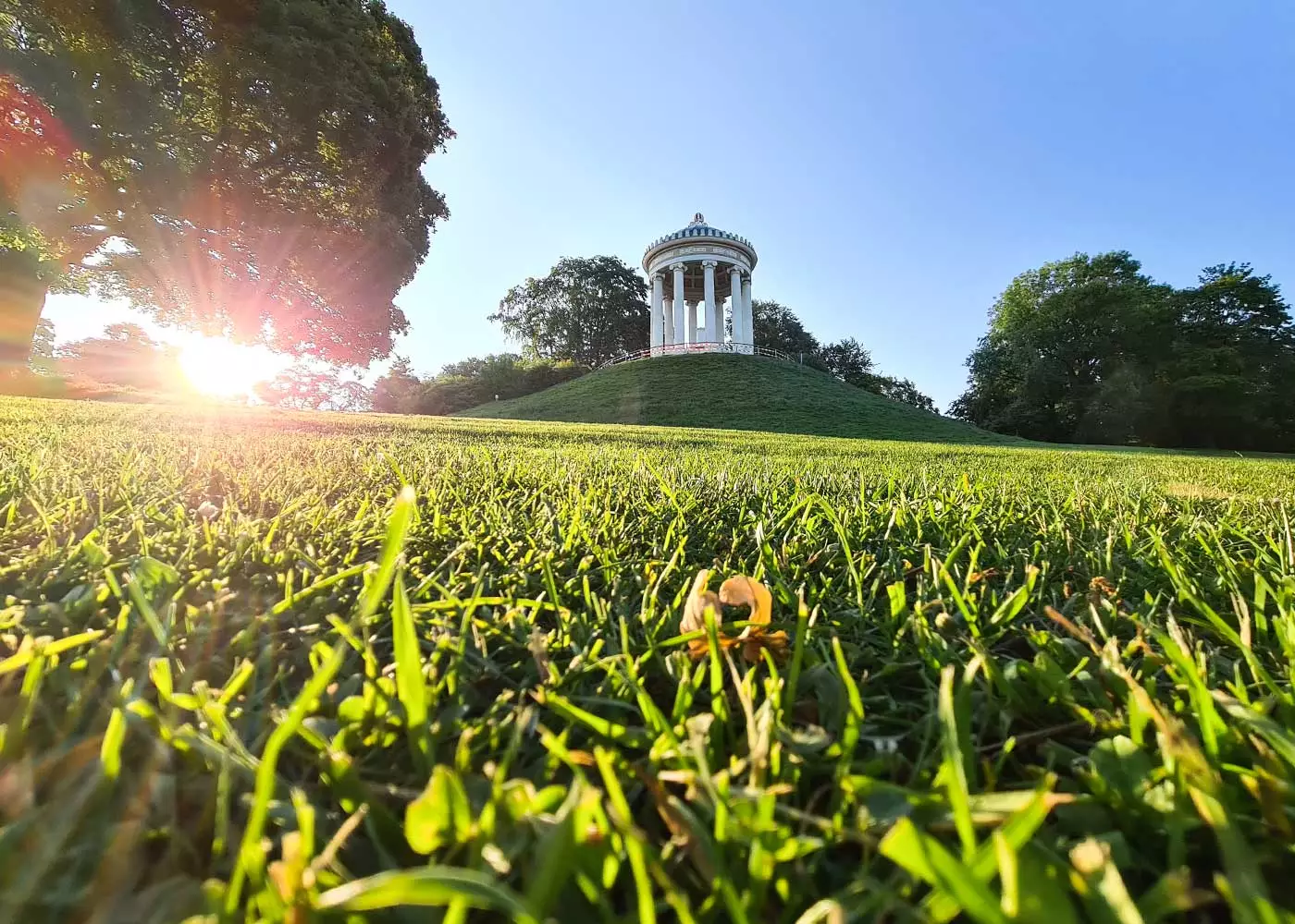
Munich: 10 tips for your day in the Englischer Garten

Things to do in Cologne: 10 beautiful places you must see [with map]
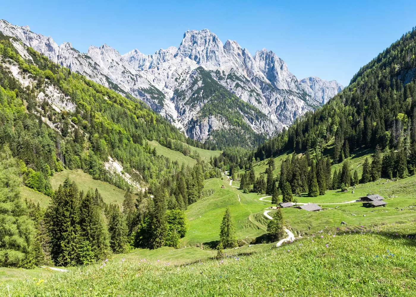
Berchtesgaden: 15 easy (family) hikes amid beautiful scenery
Cool things to do in Munich: 20 beautiful places you must see [with map]
The 15 most beautiful Christmas Markets in Germany
Address & Contact
Gaistal, Wettersteingebirge, 6632 Ehrwald
Alpine pastures & huts
E-Bike Lademöglichkeit
The Ehrwalder Alm (1,500m), which is open all year round , is located at the foot of the iconic Zugspitze, between dense woodland not far from the Ehrwalder Almsee . During the winter months, a picturesque little ski area extends around the inn, and cross-country skiers are also happy to be found here then. In summer, the Ehrwalder Alm is a popular destination for hikers and (e-)bikers and also serves as a starting point for scenic hikes through the surrounding Alps. E-bikers can even charge their batteries on the Alm with their own charger.
Read More...
Opening Times
Similar Infrastructures
Agrargemeinschaft Eng-Alm
Inn - Alpengasthof und Naturehotel "DIE ENG"
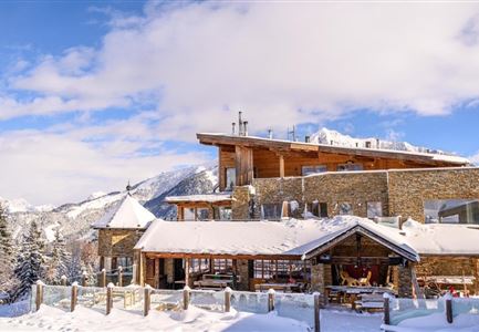
Gschwandtkopf mountain restaurant and panorama bar
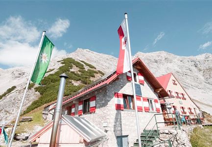
Bettelwurfhütte
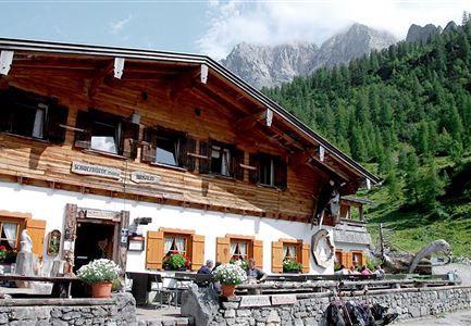
Brunnsteinhütte
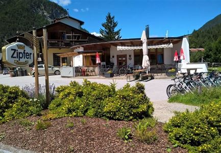
Cafe Länd, Cafe, Bistro, Bar
Ehrwalder Alm
Holiday tips in your inbox.
Hike to the Ehrwalder Alm mountain hut
The ehrwald mountain hut is located in the valley between the wetterstein mountains and the mieming range: in winter a popular skiing area, it turns into a lovely place to relax in summer, image gallery: hike to the ehrwalder alm mountain hut.
D-1266-ehrwalder-almbahn-talstation.jpg
D-1267-wegweiser-zu-ehrwalder-alm.jpg
D-1260-zugspitze-wetterwand.jpg
D-1256-vorderer-tajakopf-und-sonnenspitze-der-mieminger-kette.jpg
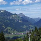
D-1253-ehrwalder-alm-bahn-darunter-lermoos.jpg
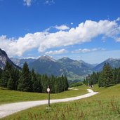
D-1248-ehrwalder-alm-mieminger-kette-bis-ehrwald-3.jpg
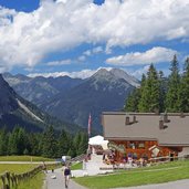
D-1237-ehrwalder-alm-huette.jpg
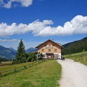
D-1219-gasthof-alpengluehn-ehrwalder-alm.jpg
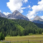
D-1209-ehrwalder-alm-rundblick-fr04.jpg
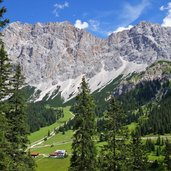
D-1176-ehrwalder-alm-und-dahinter-wetterspitzen.jpg
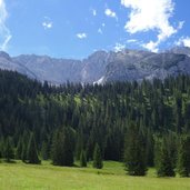
D-1207-ehrwalder-alm-rundblick-fr02.jpg
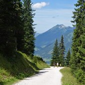
D-1174-abfahrt-zur-ehrwalder-alm-wanderer.jpg
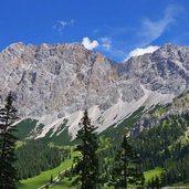
D-1167-wetterspitzen-und-plattspitzen-zugspitze-massiv-wettersteingebirge.jpg
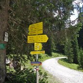
D-1164-wegweiser-zur-ehrwalder-alm.jpg
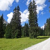
D-1161-adlerweg-bei-igelsee-2.jpg
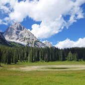
D-1158-igelsee-und-mieminger-kette-1.jpg
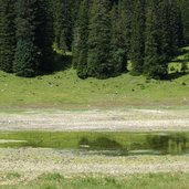
D-1156-ehrwald-igelsee.jpg
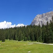
D-1150-ehrwald-igelsee-blick-von-mieminger-kette-bis-zugspitze-6.jpg
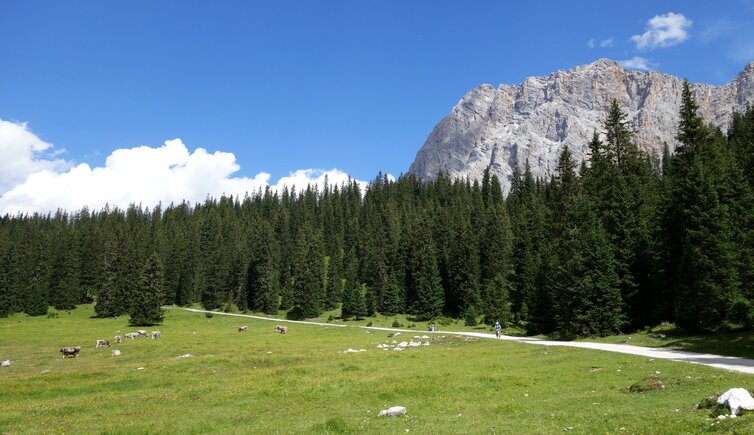
The meadow path - signpost "Wiesenweg" -, starting at the valley station of the Ehrwalder Almbahn Cable Car, is the best way to reach our destination. The path leads via the Ganghofer Mountain Hut in a 90-minute walk to the Ehrwald Mountain Hut (Ehrwalder Alm). There are several other possibilities for a rest stop in this area, such as the Tiroler Haus and the Alpenglühn mountain inns. Thanks to the cable car, the mountain pastures are accessible for everybody, also for those who don't want or aren't able to walk the short but partly steep way up.
We decide to extend our hike and continue on the path no. 813 to Lake Igelsee, situated on the passage to the Gaistal valley. At the time of our hike, the lake is reduced to a small pond, but the beautiful alpine meadows and the view on the Mieming Range and the Wetterspitzen peaks are worth the effort of the further 1.5 km.
- Starting point: Ehrwalder Almbahn valley station
- Time required: 03:25 h
- Track length: 10,2 km
- Altitude: from 1.120 m to 1.603 m
- Altitude difference : +542 m | -542 m
- Signposts: no. 812, 813
- Destination: Ehrwald Mountain Hut, Lake Igelsee
- Resting points: Ganghofer Hütte, Ehrwalder Alm, Gasthaus Alpenglühn
- Recommended time of year: Jan Feb Mar Apr May Jun Jul Aug Sep Oct Nov Dec
- Download GPX track: Hike to the Ehrwalder Alm mountain hut
If you want to do this hike, we suggest you to check the weather and trail conditions in advance and on site before setting out.
Suggest an edit/correction
Our editorial staff is always committed to ensuring the highest quality and accuracy of the information we publish. If you have suggestions to improve this page you can send them to us using the form below. Thank you in advance!

Suggested accommodations
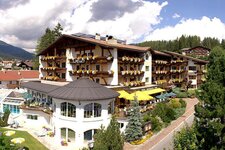
Hotel Alpenhof
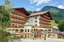
Hotel Singer – Relais & Châteaux
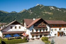
Hotel Goldene Rose
Related topics.

Mountains and hiking

To the Adolf Pichler Mountain Hut
Short mountain hike with…

To the Kemater Mountain Hut
Starting at the village of…

To the Padasterjoch Mountain Hut
A hiking trail leads from…

To the Pinnisalm Mountain Hut
Through the Pinnistal…

To the Innsbrucker Hütte Mountain Hut
From the Karalm in…

To the Kamelisen Alpine Village
This nice hiking tour…

To the Rastkogel Mountain Hut in the Tux Alps
Far from main…

To Mt. Wildseeloder at Fieberbrunn
From the Lärchfilzkogel…

Through the Langer Grund
This valley hike takes us from…

From St. Anton to the Tritschalpe Mountain Hut
The…

To Lake Kartellspeicher and the Darmstadt Mountain Hut
Easy…

To the Edmund Graf Mountain Hut
The Edmund-Graf-Hütte…

Around Mt. Kellerjoch
The mountain hike via the Proxen…

From the Hahntennjoch to the Anhalter Hut
Short mountain…

To the Franz Senn Mountain Hut and Lake Rinnensee
This…

From Weerberg to the Nafing Mountain Hut
We hike from…

From the Tux Valley to the Geiseljoch
A long hike on the…

To the Amberger Mountain Hut
From Gries in the Sulztal…

To the Rotmoosferner in the Oetztal Nature Park
Getting so…

To the Obstansersee Mountain Hut
This hiking tour in the…

Rosanna Path in the Stanzertal valley
This hiking trail…

From Schwendberg to the Sunnalm Mountain Hut
The Sunnalm…

From Hochfügen to the Sidanjoch
The 2,127 m high Sidanjoch…

Around the Penken Adventure Mountain
Enjoy a nice walk on…

Through the Wolf Gorge
A roaring water gorge, a monastery…

Aschau High Route
This easy walking tour above the…

From Ginzling to the Oberböden Mountain Hut
This hike leads…

From Aschau to Mt. Pengelstein
This quite rough uphill…

From Mt. Hahnenkamm to Mt. Pengelstein
This scenic…

To the Widdersberger Mountain Hut
The Pfaffenhofer…

Achenweg Path at Kirchberg
A pleasant promenade path…

To the Glanderspitze at Mt. Venet
Short summit tour and…

Through the Stillup Valley to the Grüne Wand Mountain Hut

To the St. Ulrich Chapel near Pfunds
Forest walk near Pfunds…

Via the Radurschl Alp to the Hohenzollern Mountain Hut
In the…

Via the Stieralm Hut to the Plamort Tank Barrier
An easy…

From St. Oswald to the Dorfberg
Easy walking tour through…

Through the Emperor’s Gorge
The Kaiserklamm gorge in…

From the Ahorn mountain station to the Edelhütte
This easy…

To Mt. Bärenkopf
Mt. Bärenkopf is regarded as one of the…

Glacier visit in the Pitztal valley
The valley path runs…

To the hermitage near Kitzbühel
A walk through the forest…

To the Scheidseen at the Verbellner Winterjöchli
Excursion…

To the Hochwild Mountain Hut
Above Aurach near Kitzbühel,…

To the Goldseen Lakes on Mt. Bergkastel
In the wild natural…

To Mt. Schatzberg
From Rossmoos up to almost 1,800 m…


To the Coburg Mountain Hut
From the Ehrwald Alp via the…

Around Lake Rifflsee
This nice little tour around Lake…

From Thierbach to the Kothkaserkreuz

From Ischgl to the Heidelberg Mountain Hut
Extensive, but…

To Lake Mutterberg in the Stubaital valley
The moderate…

To the mountain huts in the Gaistal valley
The Gaistal with…

To the Braunschweig Mountain Hut
Short but steep hiking…

To the Plauener Mountain Hut
During the ascent to the…

Through the Schönverwall Valley
The Schönverwall Valley…

From the Menta Mountain Hut through the Jamtal
The Jamtal is…

To the Gschnitzer Tribulaun Mountain Hut
The Max Dellantoni…

To the meadows of the Gerlostal Mountain Hut
High altitude…

Along the Delicacies Trail to the Kreuzwiesen Hut
Easy walk…

To the Tiefental Mountain Hut in the Pitztal valley
On the…

Via Lake Obernberg to the Sandjoch saddle
Circular hike in…

To the Muttekopf Mountain Hut and the Drischgl Path
This short…

On the Walser Path to the Zeinisjoch
Lake Kops and Lake…

To the St. Magdalene in Gschnitz Pilgrimage Church

To Mt. Wiedersberger Horn
An easy peak for (almost)…

From the Gleirschtal to the Pforzheim Mountain Hut
This hike…

Along the Thörlen Path to the Eibseeblick
This beautiful…

Via the Old Gaicht Pass route to Lake Haldensee
The route via…

From the Karwendelau to the Small Ahornboden
In an isolated…

To the Kalbelehof Alp in the Vilstal valley
The Vils stream…

To Lake Plansee and Lake Heiterwang
Lake Plansee and Lake…

Through the Karwendel Valley to the Karwendel Hut
Extensive…

Along the Road of Princes to Neuschwanstein
The Road of…

Via the Lafatscher Saddle to the Halleranger Hut

To the source of the Isar river in the Karwendel
The source…

Through the Gschnitztal valley
This 10 km long walk from…

To the Innsbruck Mountain Huts
This hike across the alpine…

To Maria Waldrast and the Gleinser Mähder meadows

To the Navis Mountain Huts
The Peer, Polten and Stöckl…

“In the Reign of Apollo” Path
From Hopfgarten in Defereggen…

Peter Anich Path
On the trail of the famous Tyrolean…

Around Mt. Thurntaler
Mt. Thurntaler, the local mountain…

On the Goethe Path to the Pfeis Hut
From the Hafelekar…

To the Sattelberg Mountain Hut
The walking tour from Gries…

Via the Schlicker Mountain Hut to the Kreuzjoch

To Mt. Seefelder Spitze
Thanks to easy access by cable…

Via the Telfes Meadows to Mutters
This pleasant valley hike…

From Lake Herzsee to Hall in Tirol
This walking tour -…

From Mt. Kleinmmutzkopf to the Boundary Stone
Nauders is…

From the Valsertal valley to the Geraer Mountain Hut

From Achenkirch to Lake Achensee
This comfortable walk…

From the Dolomite Mountain Hut to Lake Laserzsee

From the Erfurt Hut to the Dalfaz Mountain Hut

From Hintertux to the Sommerberg Mountain Hut
Below the…

From Hochsöll to the Big Waterfall
By cable car we go to…

From Pertisau to the Gramai Hut
By the Achensee Shipping we…

From Schmirn to the Tuxerjoch Hut
From Ladins in the rear…

From Seespitz to Scholastika on Lake Achensee

From Söll to the Witch’s Water Hochsöll
In the region of the…

To the Neualpl Lake District
The mountain hike leads to…

To the house of “The Mountain Doctor”
In Ellmau a famous…

To the Ellmau Stone Circle and the Grutten Hut
The Ellmau…

To Mt. Kitzbüheler Horn
Today we hike from the Alpenhaus…

To the Lafitz Mountain Hut and the Vizze Pass

Long-distance walking trails
Tyrol offers perfect…

Gentian Trail
A great natural landscape as well as a…

Stone Pine Path
The 7 km long Zirbenweg trail takes…

Eagle Trail
The 413 km long Adlerweg path takes from…

Berlin High Route
The high-alpine circular hiking tour…

Inntal High Route
Six days and at an altitude of about…

Karwendel High Route
The Karwendel Höhenweg trail…

Lechtal High Route
The Lechtaler Höhenweg, one of the…

Stubai High Route
The Stubai High Route or Stubaier…

Seal of quality “Tiroler Bergwege-Gütesiegel”
Tyrol awards…
- Route Finder
- Route Planner
- Travel Guide
- Places to visit
- Eat & drink
- Accommodation
- Ski resorts
- Current Conditions
- Avalanche Report
- Collections
- Travel Stories
- Publications
Ehrwalder Alm on the Zugspitze

Dieter rated this “good“
Under the southern walls of the mighty Zugspitze massif, we set out on this fun tobogganing tour. On a groomed track we whiz in many curves from the from the Ehrwalder Alm down to the valley station of the cable car, which we used to ascend the mountain in comfort.
Always a fun tobogganing tour.
Always on Tuesday and Friday, if the snow conditions are right, the illuminated valley run of the Ehrwalder Alm belongs to the tobogganers in the evening.

Track types
Tips and hints.
www.ehrwald.com
Ehrwalder Almbahn,
www.zugspitze.at/ehrwalderalmbahn/de/
Turn-by-turn directions
Public transport, coordinates, book recommendations for this region:.
Localization

Similar routes nearby
- SNOOC - Ehrwalder Alm toboggan run at the Zugspitze
- Lehnbergau/Mieminger Plateau
- SNOOC - Lehnbergaus/Mieminger Plateau
Questions and answers
Would you like to ask the author a question?

Photos from others
Avalanche conditions, weather at the route's trailhead.
- Show images Hide images
- 2 Waypoints
Excursions and leisure tips for the region
Servus in Stadt & Land: Über 3.500 Rezepte aus dem Alpenraum! Gartentipps, Deko-Ideen, Österreichisches Brauchtum.
Die Welt neu entdecken: Wir nehmen Sie mit auf Entdeckungsreisen, die den Geist inspirieren und den Horizont erweitern.
Hier spielt das Leben. Die BÜHNE berichtet über alles, was das Leben vor und hinter den Kulissen spannend macht.
Hier finden Sie alle Informationen zum TV-Programm von ServusTV, sowie verpasste Sendungen in der Mediathek und den aktuellen Livestream.
Zeit für ein gutes Leben. carpe diem bietet wertvolle Inspirationen rund um Ernährung, Bewegung, Erholung und Bewusstsein.
Der beste Motorsport im Netz: Formel1, MotoGP, DTM, Rallye und vieles mehr.
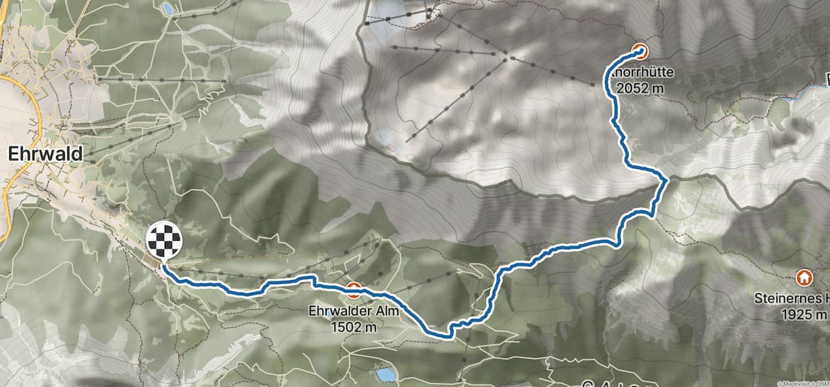
Wanderung zur Knorrhütte von Ehrwald
- Einkehrmöglichkeit
- Hüttenzustieg
Tourenbeschreibung
Die Knorrhütte (2.052 m) im Wettersteingebirge liegt südlich der Zugspitze am Rande des Zugspitzplattes. Neben dem langen Zustieg über das Reintal bietet sich vom Tiroler Ehrwald ein zweiter schöner Aufstieg an. Dabei überschreitet man am bekannten Gatterl die Grenze zwischen Bayern und Tirol. Die Tour kann zudem durch eine Auffahrt mit der Gondelbahn zur Ehrwalder Alm verkürzt werden.
Wegbeschreibung Von der Talstation der Ehrwalder Almbahn wandert man entlang der Skipiste auf breitem Weg zur Ganghofer Hütte und weiter zur Bergstation an der Ehrwalder Alm (1.502 m). Auf dem Schotterweg geht man noch ein Stück taleinwärts, ignoriert dabei den Abzweig zum Seebensee und gelangt zu einer Pestkapelle. Hier zweigt man nach links ab und erreicht wenig später die Hochfeldernalm. Dahinter wird aus dem breiten Schotterweg nun ein Steig, der unterhalb der steilen Südwände des Wettersteinkammes nach schräg rechts aufwärts zieht. Man erreicht den Punkt „Am Brand" (2.110 m), von dem man eine wunderbare Aussicht auf die südlich aufragende Mieminger Kette erhält. Absteigend quert man hinüber ins Feldernjöchl (2.045 m) zu einer Wegverzweigung. Man folgt dem geradeaus führenden Steig, der teilweise versichert in den Einschnitt des Gatterls (2.024 m) führt.
Hier wechselt man nicht nur das Land, sondern steigt auch hinüber zum Zugspitzplatt. Auf- und absteigend quert man hinüber zur Knorrhütte (2.052 m).
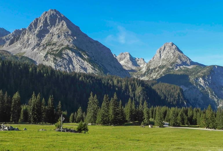
Höhenprofil
Bergwelten-tipp.
Die Tour kann man verkürzen, indem man sich den ersten Abschnitt entlang der Skipiste spart und mit der Ehrwalder Almbahn zur Bergstation hinauf schwebt.
Anfahrt & Parken
Von Garmisch-Partenkirchen auf der B23 über Griesen nach Ehrwald und zur Talstation der Gondelbahn.
Parkplatz an der Talstation der Ehrwalder Almbahn .
Öffentliche Verkehrsmittel
Mit dem Zug nach Garmisch-Partenkirchen und weiter nach Ehrwald. Mit dem Bus zur Talstation der Ehrwalder Almbahn .
Hütten in der Nähe
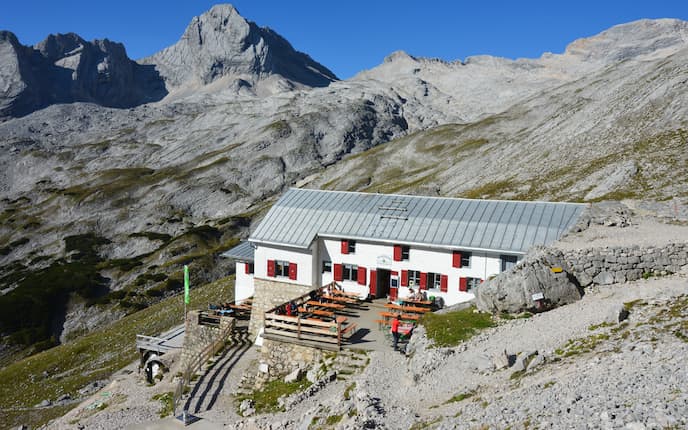
Knorrhütte (2.052 m)

Hochfeldern Alm (1.732 m)
Weitere tourenempfehlungen.
Wanderung zum Walter-Brenninger-Biwak vom Weiler Dun
Mutterberger See
Furgler vom Komperdell
Piz Arina ab Hof Zuort
Bergwelten entdecken, unterkünfte.
Direkt zu ...
BR-Navigation
Wetter in bayern.
Nachts klar oder nur leicht bewölkt, Abkühlung auf 10 bis 5 Grad
- Ortswetter für Handys & Tablets
mehr Wetter

mehr Verkehr
Tour auf den Wamperten Schrofen Liesl Karlstadt auf der Ehrwalder Alm
Es gibt Berge, die sind nahezu unbekannt, obwohl sie eigentlich unübersehbar und noch dazu in überaus prominenter Gegend stehen: Der Wamperte Schrofen nahe der Zugspitze ist so ein Berg. In seinem Gipfelbuch birgt er besondere Geschichten.
Von: Georg Bayerle
Stand: 19.04.2024
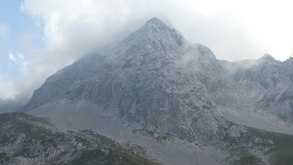
Ich habe das Gipfelbuch vom Wamperten Schrofen nie vergessen, denn es ist das älteste, das ich jemals auf einem Berg vorgefunden habe. Das war 1987, ich war damals 20. Jetzt führt mich Uwe Pechtl von der Bergwacht Biberwier in eine kleine Kammer der Bergwachthütte. Dort bewahrt er das historische Gipfelbuch auf. Die Einträge beginnen in den 1930er-Jahren, Nazisymbole wurden durchgestrichen. „Lasst die Politik von den Bergen“, lautet ein Kommentar, den jemand hingeschrieben hat. Nur eine Handvoll Namen stehen drin, jedes Jahr zählt nur zwei bis drei Seiten, deswegen konnte das Buch so alt werden.
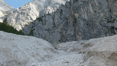
Im rauen Gelände unter der Biberwierer Scharte
Kaum jemand steigt auf diesen schütteren, weglosen, und auch nicht ungefährlichen Berg namens Wamperter Schrofen. Regina Poberschnigg, Leiterin der Bergrettung Ehrwald, sagt, der Name spreche für sich, der Berg sei gwampert und brüchig. Trotzdem machen wir uns zu dritt auf und wollen die gleiche Route noch einmal gehen, die ich schon 1987 aufgestiegen bin - direkt von der Biberwierer Scharte über das Schartenkar und den Nordostgrat hinauf und durch eine Schuttrinne südseitig wieder hinunter, weglos, nicht einmal Steinmandln stehen da, und gleich nach der Scharte ist es eine reine Viecherei im steilen Geröll.
Eine erste Steilstufe legt sich in den Weg, die wir vorsichtig durch brüchigen Fels überklettern. Es ist der legendäre zweite Schwierigkeitsgrad, in dem wir noch nicht sichern müssen, uns aber trotzdem im Absturzgelände bewegen. Bergsteigen in wilder Urform und nur für Geübte! Ein Eiertanz durch Gesteinswirrnisse, bei dem sich die Landschaft immer großartiger entfaltet. Vor allem die Pyramide der benachbarten Sonnenspitze steht elegant geschnitten vor dem blauen Himmel wie aus keiner anderen Perspektive. Wir konzentrieren uns aber auf jeden Griff und Tritt bis zum höchsten Punkt.
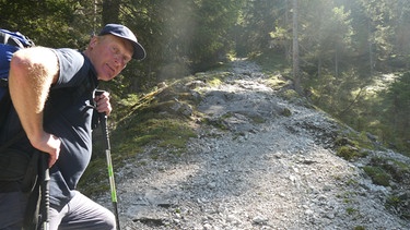
Uwe Pechtl beim Aufstieg
Das Gipfelbuch ist jetzt neu, es wurde ausgetauscht, als auf dem Wamperten Schrofen ein Kreuz aufgestellt wurde. Der Abstieg führt durch die leichtere, aber sehr steinschlaggefährdete Südrinne, die Uwe Pechtl bestens kennt. Mindestens einmal im Jahr steigt er hier zum Bergfeuer zur Sommersonnenwende herauf.
Liesl Karlstadt auf den Bergen
Ein Eintrag im alten Gipfelbuch lässt aufhorchen: Liesl Karlstadt hat sich am 23. September 1943 mit eigener Hand eingetragen. Die Volksschauspielerin, die vor allem im kongenialen Duett mit Karl Valentin bekannt ist, verbrachte damals den Sommer wie schon zwei Jahre zuvor auf der Ehrwalder Alm bei einem Trupp Gebirgsjäger. Originalfotos in Schwarzweiß dokumentieren die kuriose Geschichte: Liesl Karlstadt steckt in Soldatentracht unter Soldaten, die hier auf der Ehrwalder Alm für den Kriegseinsatz vorbereitet wurden. Die Gebirgsjäger mit ihren Mulis und der Volksschauspielerin lebten hier wie in einem Biotop mitten im Zweiten Weltkrieg.
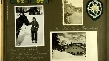
Liesl Karlstadt als Gefreiter Gustav auf der Ehrwalder Alm
1941 hatte sich Liesl Karlstadt aus der totalen Erschöpfung der Theaterauftritte und Kriegssituation nach Ehrwald gerettet, um sich im Gebirge zu erholen. Dabei hatte sie die Soldaten kennengelernt. Zwei Jahre später kam sie wieder, dabei muss es auch zur Besteigung des Wamperten Schrofens gekommen sein. Um das zu überprüfen, schlägt Sabine Rinberger, die Leiterin des Valentin-Karlstadt-Musäums in München, die digitale Kopie des Bergtagebuchs auf, das Liesl Karlstadt in den 1920er-Jahren begann. Sie war auf dem Hochvogel, auf der Wildspitze, auf dem Wiesbachhorn, Großglockner und auf der Birkkarspitze. Der Wamperte Schrofen war ihre Abschlusstour in diesem vogelfreien Bergsommer 1943 auf der Ehrwalder Alm. In diesen kriegsdunklen Jahren waren die Berge für alle Beteiligten noch viel mehr Freiraum als für uns heute. Mit dem Wamperten Schrofen, diesem rauen und wenig bekannten Berg, verbinden sich viel mehr Geschichten als man denken würde. Vermutlich gerade deshalb, weil er so ein abweisender, widerborstiger Gipfel ist.
Fernseh-Tipp
Die alpine Spurensuche auf den Wamperten Schrofen hat auch ein Filmteam von Bergauf-Bergab begleitet. Der Film läuft am Sonntag, 21. April , um 18:45 im BR-Fernsehen und steht auch in der ARD-Mediathek zum Abrufen bereit.
Bergauf-Bergab | 21.04.2024: Besondere Wege · Pilgern und ein plumper Berg
Wenn Sie mehr über Liesl Karlstadt und ihre Erlebnisse als Gefreiter Gustav auf der Ehrwalder Alm wissen wollen: Die Leiterin des Valentin-Karlstadt-Musäums Sabine Rinberger hat ein Buch herausgegeben: „Liesl Karlstadt. Schwere Jahre.“, erschienen im Kunstmann Verlag, München 2019.

Die Sonnenspitze und der Gwamperte Schrofen
- Detailansicht
Link kopieren
Kurzlink kopieren, versenden sie diesen inhalt mit ihrem standard mail-programm, teilen sie diesen inhalt auf facebook.
Dabei verlassen Sie das Angebot des BR. Für die Datenverarbeitung ist dann der Drittanbieter verantwortlich.
Teilen Sie diesen Inhalt auf Twitter
Home Page › Our tours › Towns of the Golden Ring. Trips out of Moscow › Dacha Tour
- Our Service
- Our Photo Album
Explore Russian Summer Life: Visit Russian Dacha!
People from Northern countries soak up every bit of pleasure out of summertime. Its days are numbered, and we do our best to store up the sunshine for the long, cold months that make up the rest of the year. Russians are among those who take full advantage of the brief, hot weather.
At summer’s peak, many Russians don’t venture far. The reason is dachas , our country houses. August brings the harvest for our small garden plots, but a dacha is much more than just an economic benefit: it embodies a culture dating back to Communist times.

The dachas is a unique phenomenon in the life of anyone who lives in the boundless expanses of the Russian Federation. A small plot – just 0.15 acres – with a few currant bushes, apple trees and a vegetable patch, a little wooden house with no telephone or running water and a discreetly located outhouse. I’d love to how you mine.
How we’ll get there:
I believe that it’ll be fun to experience the Russian suburban train (electrichka), which is very popular in our country. Electrichka is inexpensive and it might even be faster than a car as it doesn’t depend on the traffic. Travelling by commuter train you’ll be able to see ordinary people and possibly talk with them. Sometimes trains offer you such “free entertainment” as listening to numerous vendors and musicians. But local trains might be crowded at certain times of the day so in some cases we’d recommend you to go with us by car.
What we’ll do:
We start the trip with the tour of Dmitrov , an ancient Russian town, founded in 1147 and called Moscow younger brother. It is located 1 hour drive out of Moscow.

Learning how to prepare a Russianlunch:
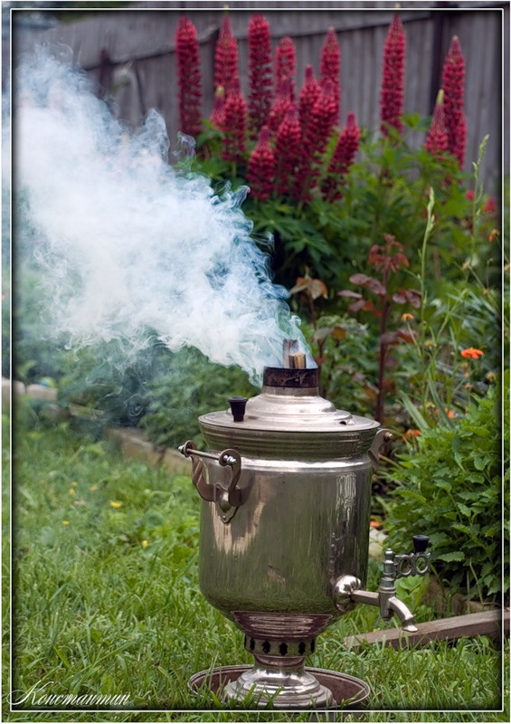
First you choose the right meat, then the right recipe for the marinade.The fire has to be started and allowed to burn down until it’s almost out, but still smouldering. If you catch it at that moment, then the meat will roast evenly and not burn.
Meanwhile, the fire keeps threatening to go out, compelling family and guests to furiously fan it with pieces of cardboard. We serve sashlik with baked potatoes, pickled vegetables and of course Russian vodka. Lunch is followed by traditional Russian tea drinking .
You’ll be so involved, you won’t even notice when it’s time to go back to the city.
The tour cost is 200 USD.
Tour price is for 2 people but I can accommodate up to 6 people in this tour, however the price will change.
Transportationis extra.
Tour duration: 8 hours
We take part in BBC series of documentaries "World's Busiest Cities"(Moscow)

Buy Tickets to the Bolshoi Theatre
Other special offers...
Interpreting and assistance at exhibitions and conferences, our garage ( vehicles+drivers), where to stay in moscow, what and where to eat in moscow, visa support, learning and discovery, our partners (trips to st.petersburg).
Copyright 2015 - Moscow Navigator
Museum and Exhibition Center

Most Recent: Reviews ordered by most recent publish date in descending order.
Detailed Reviews: Reviews ordered by recency and descriptiveness of user-identified themes such as wait time, length of visit, general tips, and location information.

Museum and Exhibition Center - All You Need to Know BEFORE You Go (2024)
- (0.03 mi) Elektrostal Hotel
- (1.15 mi) Yakor Hotel
- (1.42 mi) Mini Hotel Banifatsiy
- (1.65 mi) Apelsin Hotel
- (1.33 mi) Elemash
- (0.20 mi) Prima Bolshogo
- (0.30 mi) Makecoffee
- (0.40 mi) Mazhor
- (0.42 mi) Amsterdam Moments
- (0.42 mi) Pechka
- Gatterl-Tour
- Hiking destinations
- Ehrwalder Almsee
- Almsee Walk
- Important notice
- Mountainbike tours
- Bike rental
- Summer kids
- Event-calendar
- Children's party
- Country Sunday
- Lifts & Pists
- Map ski area
- Fun for everyone
- Night tobogganing
- Austria Freeski Day
- Telemark Days
- Girls Shred Session
- Chill & Grill
- DIDIs Spielplatz
- Pistenbully
- Snowshoeing and Winterhiking
- Ski touring
- Children and families
- Ski schools and rental
- Slope preparation
- Top Snow Card
- The Tirolerhaus
- Menu Winter
- Regionalität
- Event Calendar
- Event-Kalender
- Gourmet evenings
- Single rides
- Combi ticket
- Active Card Z-Ticket
- Single rides/pedestrians
- Ski tickets
- Snow Card Tirol
- Group information
- Opening hours
- Ehrwalder Alm currently
- Getting there & Parking
- Contact form
- Online tickets / ski passes
- Gift vouchers
- Our cable car family
- General conditions of carriage
- Data privacy statement
- Technical Data
- Tirolerhaus
- Prices & times
Nighttobogganing
Whether with minibob, wooden sledge, bobsled, snowfox or skibob - everyone courageously rides down the slopes usually at "full throttle". Somersaults are not excluded, that is part of the fun for young and old alike, it really is an exhilarating evening.
Night Tobogganing tickets 18.30 Uhr – 21.30 Uhr
Night tobogganing single ride, valid tickets.
- Valid Top Snow Card
- Season Ticket of Ehrwald – Lermoos – Biberwier
- Tirol Regio Card
- Point cards
Ehrwalder Alm
Ganghofer Hütte
The lounge, full-service and self-service restaurant are open on tobogganing evenings. Choose from the menu or enjoy our fondue evening on tobogganing evenings (reservation required please).
THAT’S HOW GAUDI GOES - SERVUS ON THE ALM. Always on Fridays - swing on your toboggans and enjoy a great evening with us. We invite you to a joyous party and fun in the huts.
The cosy hut in the middle! Enjoy a relaxing evening with good music and home produced specialties from our own farm!
The ski restaurant situated directly at the valley station of Ehrwalder Almbahn. “THE” meeting place for winter sports enthusiasts.
Please note following opening times
Toboggan rent.
Toboggans can be rented directly at the valley station of the Ehrwald Alm cable car!
Price per toboggan € 13,00
- Children up to 5 years ride free.
- Group tariffs are available for groups of 15 people or more. All group tickets must be purchased and paid for by one nominated person.
- 10 % tax included.
- All prices in Euro, subject to misprints.
Info für Tourengeher
An den Rodelabenden wird das Tourengehen aus Sicherheitsgründen NICHT geduldet!
At the night tobogganing dates (subject to snow conditions) the ski-run to the valley is floodlit exclusively for tobogganers and is great fun!
Whether with minibob, wooden sledge, bobsled, snowfox or skibob - everyone courageously rides down the slopes usually at "full throttle". Somersaults are not excluded, that is part of the fun for young and old alike, it really is an exhilarating evening.
Ehrwalder Almbahn
Dr.-Ludwig-Ganghofer-Straße 66
6632 Ehrwald, Österreich
+43 5673 2468
- Data privacy

IMAGES
VIDEO
COMMENTS
In winter this family-friendly ski and snowboard paradise guarantees a memorable day on the slopes at an altitude of 1100-1900 meters. 27.5 kilometers of perfectly groomed slopes for all levels and modern ski lifts are available. Ehrwalder Almbahn aufgrund von Revisionsarbeiten geschlossen. Sommerbetrieb ab 09. Mai 2024!
The Ehrwalder Almbahn is a small, continuous loop gondola ride (each gondola car comfortably holds four people, even though it states it can hold more!) which takes you in a few minutes up to an elevation of 1,500 meters to the Ehrwalder Alm. Here you will find a few small restaurants and the starting point for several hiking trails.
The tour continues over the Zugspitz plateau to the Knorr Hut, then via the Plattensteig to the gatterl. From there you hike over the feldernjöchl to the brandjoch, past the Hochfeldernalm and the Pestkspelle and down to the mountain station of the Ehrwalder Alm cable car. From there you can take the Ehrwalder Alm cable car back down the ...
We start our hike on the Zugspitze at the Ehrwalder Alm. ... We follow the routeway from the Ehrwalder Alm. Tour dates Zugspitze. Tour data (only ascent) from valley station Ehrwalder Almbahn. Difficulty. heavy. Path length. 15,5 kilometer. Altitude meters. 1960 meter. Duration. 8 bis 10 hours. Breathtaking mountain panorama.
The Ehrwalder Alm (1,500m), which is open all year round, is located at the foot of the iconic Zugspitze, between dense woodland not far from the Ehrwalder Almsee.During the winter months, a picturesque little ski area extends around the inn, and cross-country skiers are also happy to be found here then. In summer, the Ehrwalder Alm is a popular destination for hikers and (e-)bikers and also ...
alpine pasture hike suited for families difficulty: easy. Starting point: Ehrwalder Almbahn valley station. Time required: 03:25 h. Track length: 10,2 km. Altitude: from 1.120 m to 1.603 m.
The 8-seater cable car will take you, in comfort, up to the Ehrwalder Alm, starting point for numerous hiking tours. The Ehrwalder Alm is 1.500m above sea level and lies at the centre of a beautiful nature area. Please note: The routes recommended are the shortest routes from the Ehrwalder Alm mountain station. Please note that the information ...
On a groomed track we whiz in many curves from the from the Ehrwalder Alm down to the valley station of the cable car, which we used to ascend the mountain in comfort. Always a fun tobogganing tour. Always on Tuesday and Friday, if the snow conditions are right, the illuminated valley run of the Ehrwalder Alm belongs to the tobogganers in the ...
Die Tour kann zudem durch eine Auffahrt mit der Gondelbahn zur Ehrwalder Alm verkürzt werden. Wegbeschreibung Von der Talstation der Ehrwalder Almbahn wandert man entlang der Skipiste auf breitem Weg zur Ganghofer Hütte und weiter zur Bergstation an der Ehrwalder Alm (1.502 m). Auf dem Schotterweg geht man noch ein Stück taleinwärts ...
Tour auf den Wamperten Schrofen Liesl Karlstadt auf der Ehrwalder Alm . Es gibt Berge, die sind nahezu unbekannt, obwohl sie eigentlich unübersehbar und noch dazu in überaus prominenter Gegend ...
We specialize in private and customer-tailored tours for individuals and groups. Moscow Tours. Business trips to Moscow. Eco-tours, hikings in Moscow region. Trips to the towns of the Golden Ring of Russia. MoscowNavigator International Travel Club. St. Petersburg tours. Tour options include: Moscow tours in 1 day/2days/3days (Red Square tour ...
What we'll do: We start the trip with the tour of Dmitrov, an ancient Russian town, founded in 1147 and called Moscow younger brother. It is located 1 hour drive out of Moscow. During the tour we'll bring you to a local market and show some historical sights. Then we go to visit dacha village and explore what Russians grow in their gardens.
Water fun with a raft and water wheel. Various carved figures to admire and enjoy. The Tiroler Haus with its large sun terrace awaits you when you get back to the mountain station. DIDIS ALMSEE WALK. Distance: approx. 2 km. Walking Tim: approx. 1 hour. Status: suitable for pushchairs. Entdecken Sie die Ehrwalder Almbahn und die vielen ...
Speciality Museums. Write a review. Be the first to upload a photo. Upload a photo. Suggest edits to improve what we show. Improve this listing. The area. Raskovoi ul., d. 37, Elektrostal 144003 Russia. Reach out directly.
Elektrostal is a city in Moscow Oblast, Russia, located 58 kilometers east of Moscow. Elektrostal has about 158,000 residents. Mapcarta, the open map.
Betrieb Ehrwalder Almbahn: 21.30 Uhr: Betriebsschluss Ehrwalder Alm - the Eatery: 22.00 Uhr: Betriebsschluss Tirolerhaus: 23.00 Uhr: Betriebsschluss BrentAlm: 23.00 Uhr: Betriebsschluss Ganghofer Hütte: 23.00 Uhr: Betriebsschluss Rodelverleih: 23.15 Uhr: Ausschalten der Beleuchtung auf der Piste, letzte Kontrollfahrt des Pisten-Rettungsdienstes